Parking
Junction Meadow has no road access. Reach it on foot from Crescent Meadow along the High Sierra Trail; plan the onward backcountry route from Roaring River before you start.
Sequoia National Park, CA
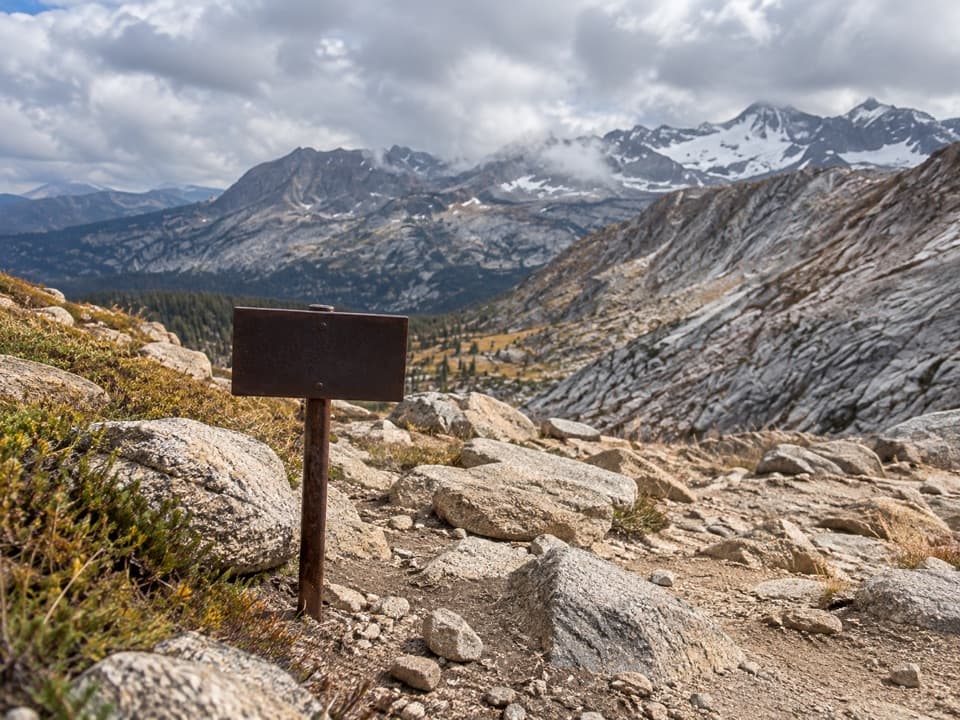
A high, remote pass links the Kern-Kaweah drainage to Cloud Canyon.
Overview
Map & elevation
Plan your hike

The highest, rockiest slopes around here are a summer buffet for grizzly bears.
Sequoia Tour Guide
Parkwolf is a GPS audio tour guide for Sequoia National Park. As you drive, it chimes in with what’s ahead: hidden gems, upcoming stops, history, geology, and wildlife, right through your car’s speakers.
See the Sequoia audio tour“…The kids and my husband and I all agree that the narration really added to our experience driving through the parks. We learned so much about the history and the flora & fauna.”


Trail guide
Colby Pass Trail is an 18.85-mile, one-way backcountry route from Junction Meadow on the High Sierra Trail to the Roaring River side of Kings Canyon. It crosses Colby Pass on the Sequoia–Kings Canyon boundary, climbing about 3,800 feet to roughly 12,000 feet, then dropping about 4,500 feet. Plan around 20 hours of hiking over at least two days. One itinerary gives 17.2 miles for the same Junction Meadow–Roaring River link; the connected trail line measures 18.85, so plan for about 19.
At Junction Meadow, the route leaves the clearer High Sierra Trail for a rougher, less distinct wilderness path. The first major decision is the braided Kern–Kaweah drainage crossing. It can mean several channels rather than one simple ford; one trip account describes fast water, sand bars and downed timber. Water levels change, so assess the crossing carefully before committing. After the river, the route climbs toward the high basin below the pass.
The pass is a rocky saddle at about 12,000 feet, right on the boundary between the two parks. From the top, you can look into both the Sequoia and Kings Canyon sides. The descent follows a long series of steep switchbacks, then eases toward Colby Lake. Take a breather at the pass and look both ways; the view is the point of the climb.
Below the pass, the route reaches Colby Lake, drops below treeline and passes through Big Wet Meadow and Cement Table Meadow. Big Wet Meadow is the standout lower stretch: it opens a view of Whaleback, whose ridgeline looks like a fin above the meadow. The change from bare rock at the pass to lakes, trees and open meadow gives this long crossing a real sense of progression.
This is not a roadside trail or a sensible day hike. Junction Meadow has no road access; reach it on foot from Crescent Meadow along the High Sierra Trail, and plan the onward backcountry route from Roaring River before setting out. There is no quick exit if the crossing or high pass gives you trouble. An overnight wilderness permit is required, and pets are prohibited on park trails. Bring the experience and time for a remote, high-elevation crossing rather than trying to squeeze it into a single push.
Wildlife
 691 sightingsBlack BearMost seen around 6 PMSighting map
 17 sightingsMountain LionMost seen around 6 AMSighting map
 18 sightingsBobcatMost seen around 7 PMSighting map
 24 sightingsCoyoteMost seen around 7 PMSighting map
 15 sightingsGolden EagleMost seen around 11 AMSighting map
 20 sightingsSpotted OwlMost seen around 7 PMSighting map
Sighting maps show where each species has been reported across Sequoia. Wildlife moves, so no sighting is guaranteed.
Keep exploring
 ChallengingWright Creek Trail5.9 mi · 4.5 hr · 3.1 mi awayA faint high-country spur for backpackers already on the John Muir Trail.
 ChallengingCrabtree Lakes Trail7.1 mi · 5.5 hr · 3.7 mi awayA remote side trip to two alpine lakes
 ChallengingLake South America Trail5 mi · 4.5 hr · 5 mi awayA remote high-country traverse above Lake South America.
 ChallengingMoraine Lake Trail8.3 mi · 6 hr · 7 mi awayA high-country climb to a lake beneath the Great Western Divide.
 ChallengingRock Creek Trail4.7 mi · 4 hr · 7.8 mi awayFollow Rock Creek's meadows to a lake and a steep finish.
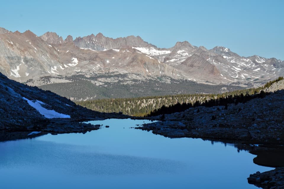 ChallengingJohn Muir Trail: Forester Pass to Mount Whitney21 mi · 20 hr · 8.3 mi awayFollow the JMT from Forester Pass across the high Sierra to Whitney.
 ChallengingKern Canyon Trail9.3 mi · 5 hr · 8.5 mi awayA long wilderness leg with a soak at Kern Hot Springs.
 ChallengingSoda Creek Trail6.7 mi · 7 hr · 8.9 mi awayA high Sierra connector through canyon creeks to alpine lakes.
Parkwolf’s Sequoia ranking

The audio tour guide for the drive, plus offline maps, trails, and wildlife heatmaps for when the signal drops.






