Why go
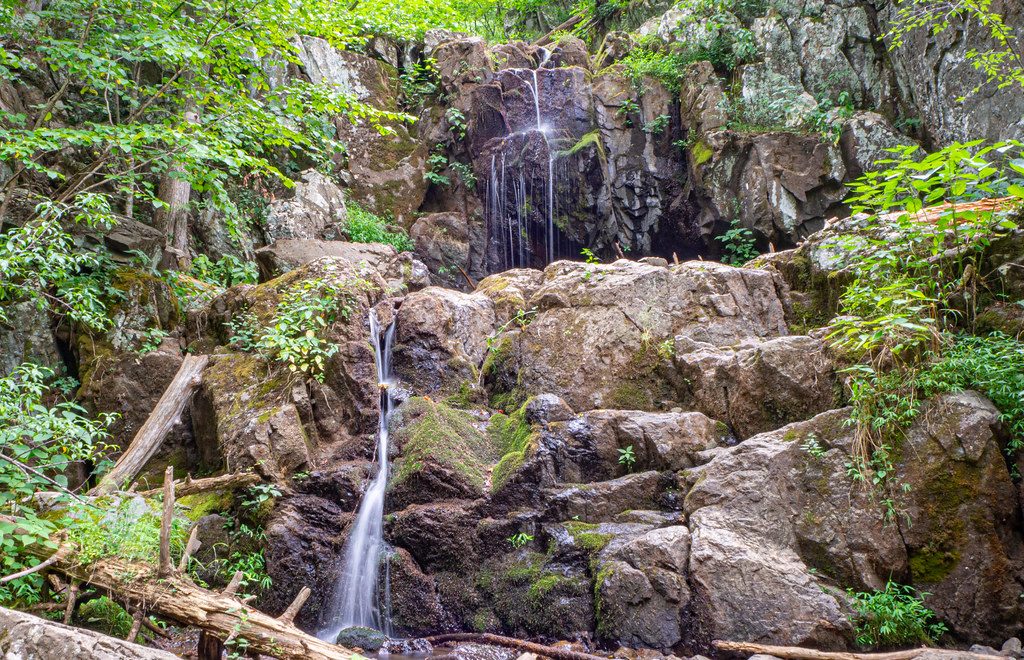
Lower Doyles River Falls is the bigger, more dramatic of the two falls on Doyles River, and it’s the one people talk about afterward. The setting feels tucked-away compared to the park’s busier waterfall circuits, and the base of the falls makes a natural, scenic pause for snacks.
The hike in a nutshell
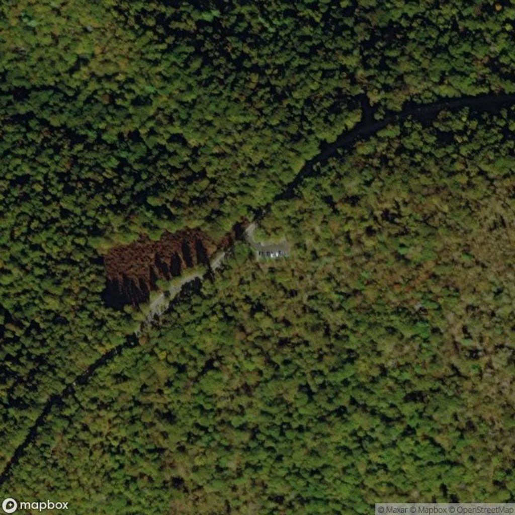
- Start from the Doyles River parking area on Skyline Drive around mile 81.1. An entrance fee is required.
- It’s roughly 1.5 miles one way to the Lower Falls (about 3 miles round trip if you go straight there and back). You’ll pass Upper Doyles River Falls first—don’t turn around; the lower falls are the main show.
- Expect to work on the way out: the return to the drive is all uphill. The route does not meet ADA accessibility guidelines.
What you’ll see
- Lower Doyles River Falls drops nearly 63 feet—taller and more dramatic than the 28‑foot upper falls. Trail posts mark both waterfalls, so navigation is straightforward.
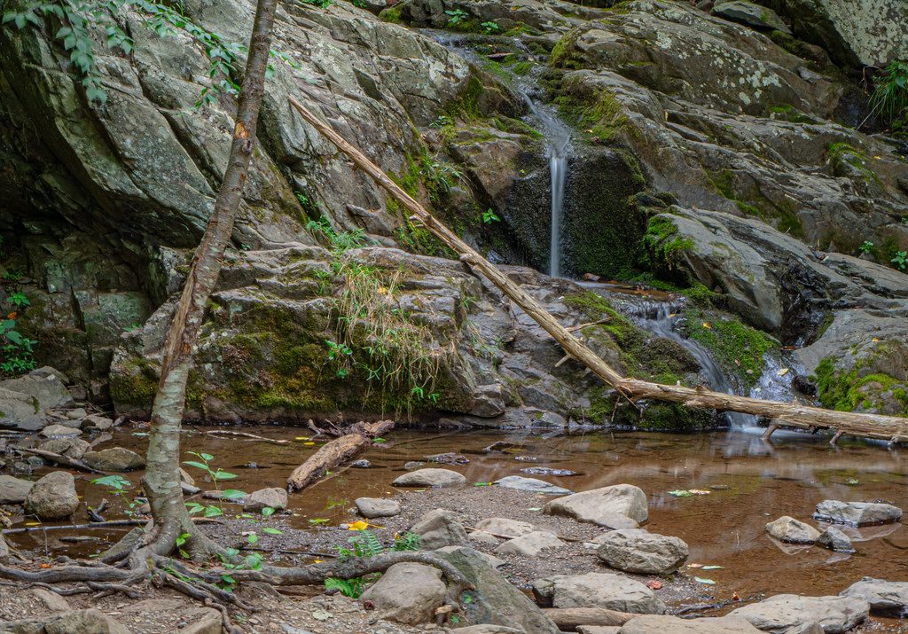
- Forested creek scenery the whole way, with cascades that really pop after rain. The base of the lower falls is a pleasant, informal picnic spot.
Wildlife
Keep your eyes open for woodpeckers and warblers in the canopy, deer in the understory, and—occasionally—black bears. Around the stream you may spot salamanders and frogs, especially after rains.
Good to know
- No facilities: there are no restrooms, water, or food at the falls or the Doyles River parking area. Bring what you need.
- Footing can be rocky, muddy, and slick near the water—sturdy shoes help, and trekking poles make the climb out easier.
- Dogs are allowed on leash on this trail.
Best time to visit
- Timing: Start early on weekends to secure parking and find pockets of quiet. Midweek is calmer.
- Water flow: Spring and the day or two after a soaking rain deliver the best volume.
- Photography: Late morning to early afternoon brings workable light in this shaded gorge; overcast days are excellent for silky water shots.