Pros & cons
PROS
- Two distinct waterfalls (Upper 28 ft, Lower 63 ft) on one hike
- Easy to link with Jones Run for a bigger multi-waterfall loop
CONS
- Steep climb back up to Skyline Drive
- Water flow can be underwhelming in dry spells
Overview
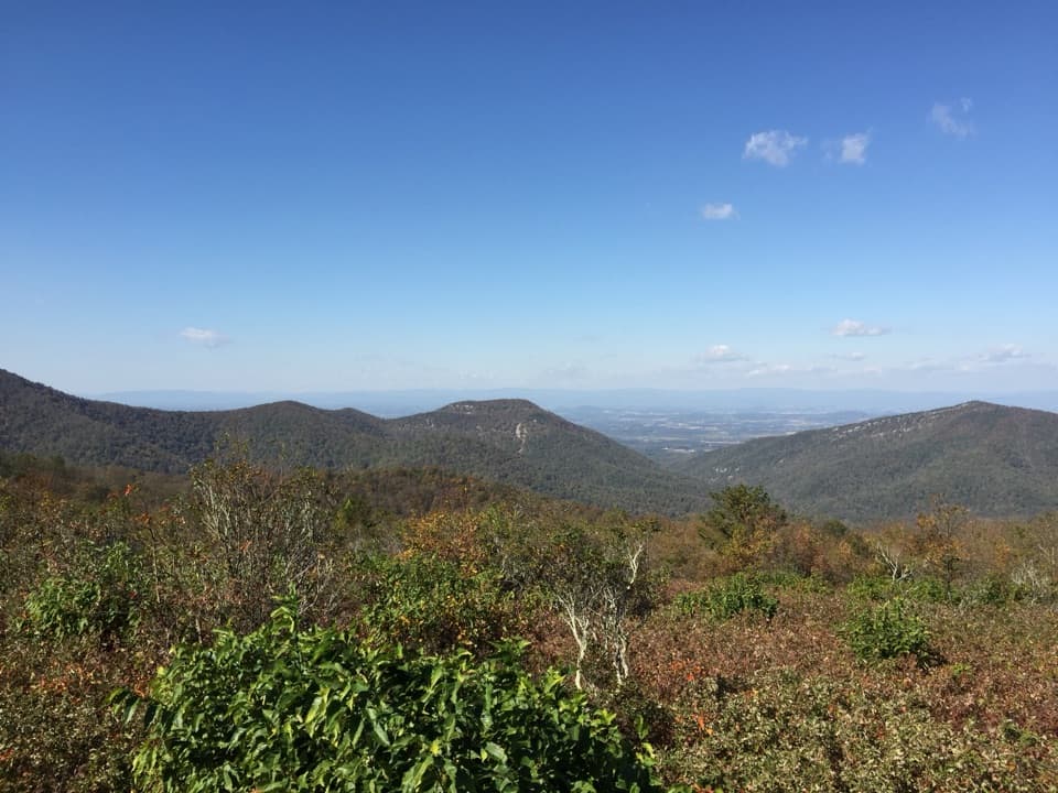
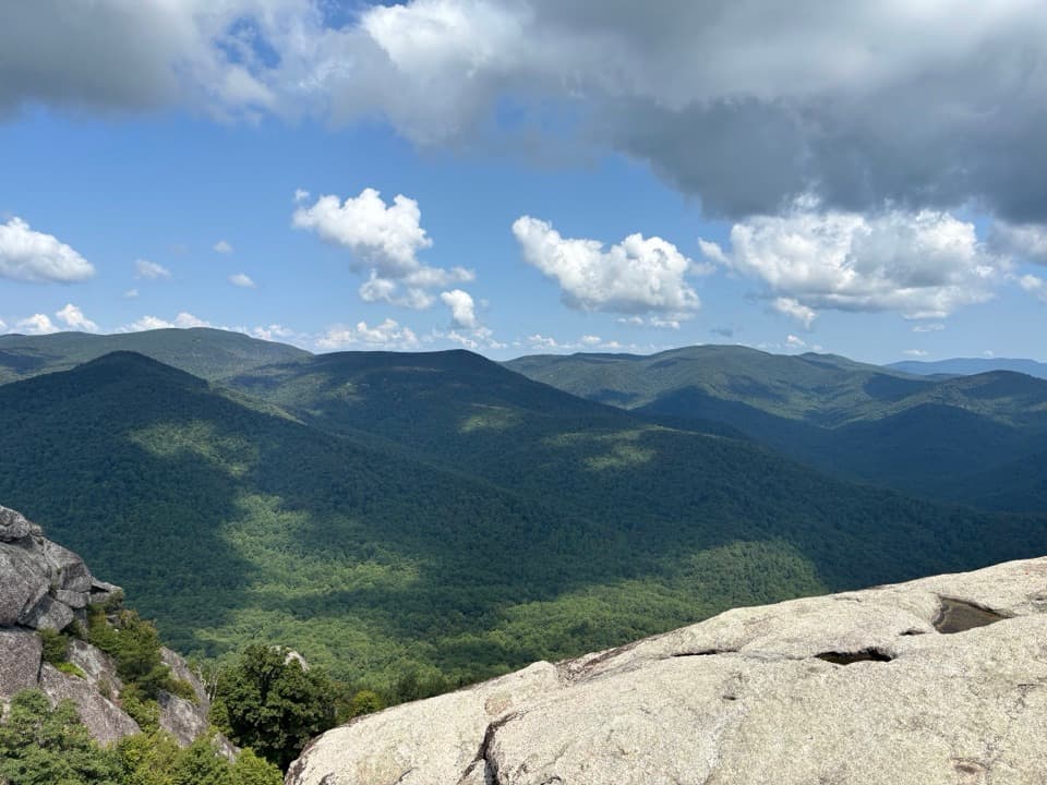
Tucked in the park’s South District, Doyles River Falls serves up two classic Blue Ridge waterfalls on one rewarding outing. From Skyline Drive, you descend through lush forest to the Upper and Lower falls, then earn your views on the climb back.
The Falls
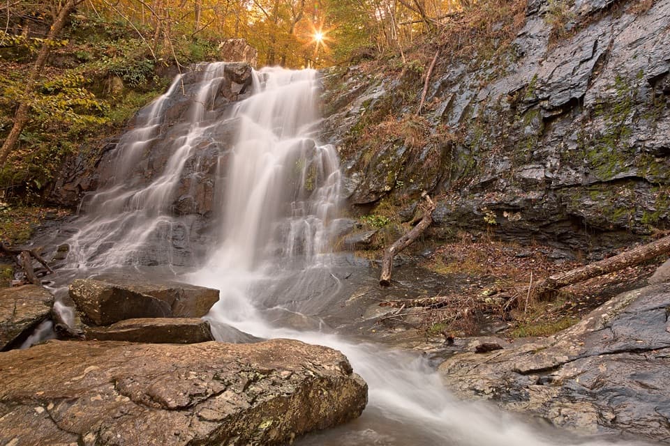
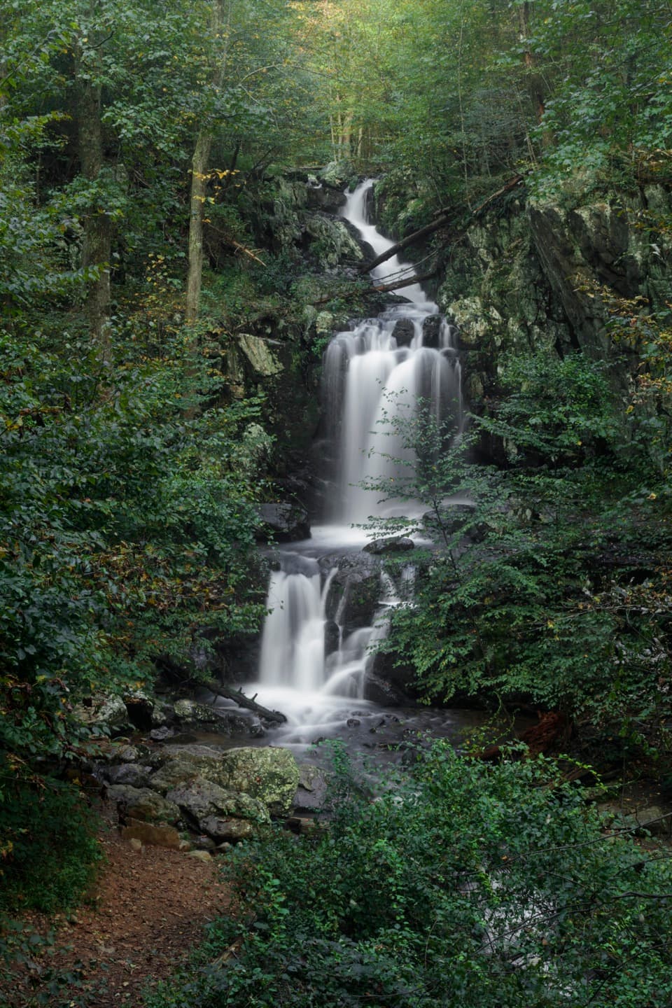
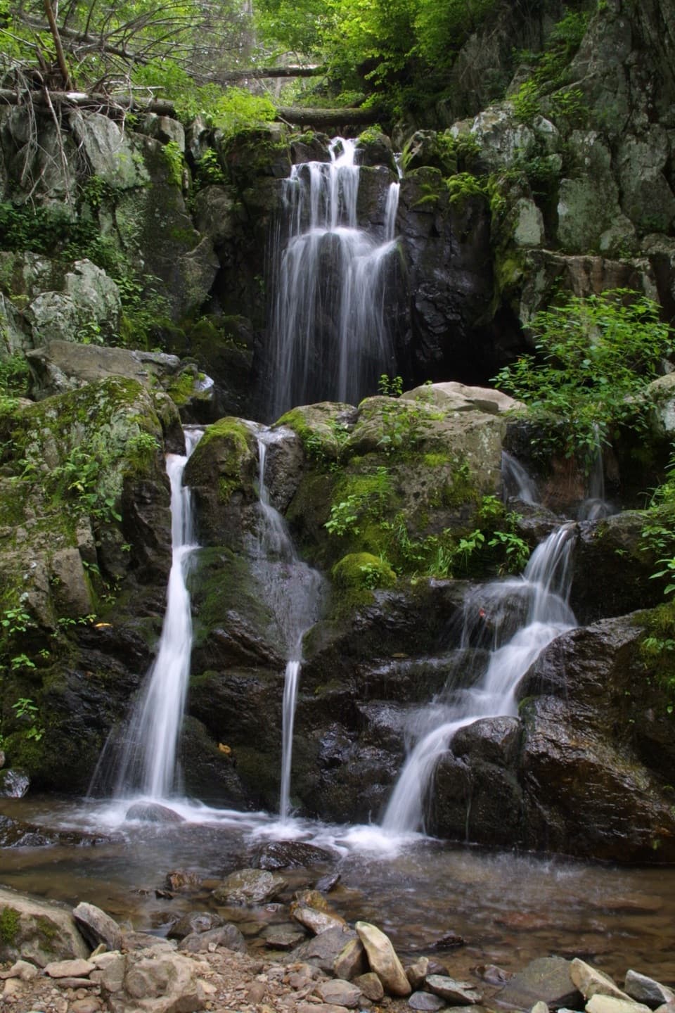
- Upper Doyles River Falls: about 28 feet, multi-tiered and framed by rock ledges.
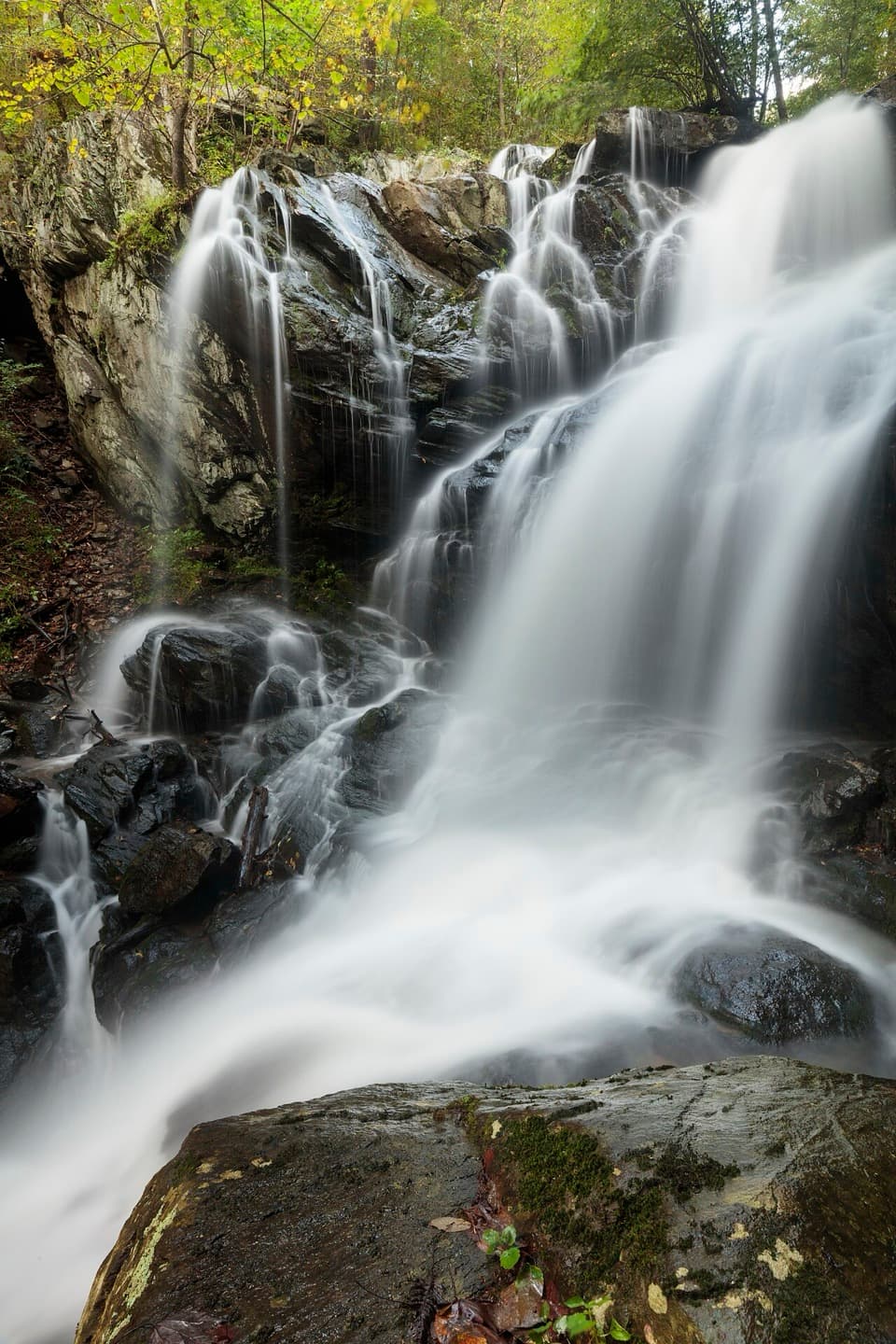
- Lower Doyles River Falls: a taller, dramatic 63-foot drop, close to the trail and very photogenic.
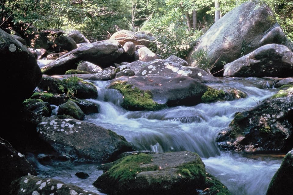
Along the way you’ll pass smaller, unnamed cascades that keep the hike interesting even between the headliners.
Trail and Route Options
Most hikers start from the Doyles River parking area around milepost 81–81.1 on Skyline Drive for a roughly 3–3.5 mile out-and-back to see both falls. Trail posts clearly mark Upper and Lower Doyles River Falls, and there’s a stream crossing near the falls. If you want more, mix in nearby Jones Run Falls via Browns Gap (MP 83) or Jones Run (MP 84) to create a satisfying multi-waterfall loop in the 6–9 mile range.
What to Expect
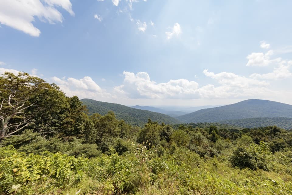
It’s an easier descent and a stout return climb—bring water and pace yourself. The trail is well-marked and generally maintained, but it can be muddy or slick after rain and rocks near the falls are slippery. Expect a classic Appalachian forest setting with mossy rocks, shaded ravines, and the sound of water nearly the whole way. Wildlife sightings are common—think deer, birds, and the occasional black bear—so stay aware and give animals space.
Best Time to Visit
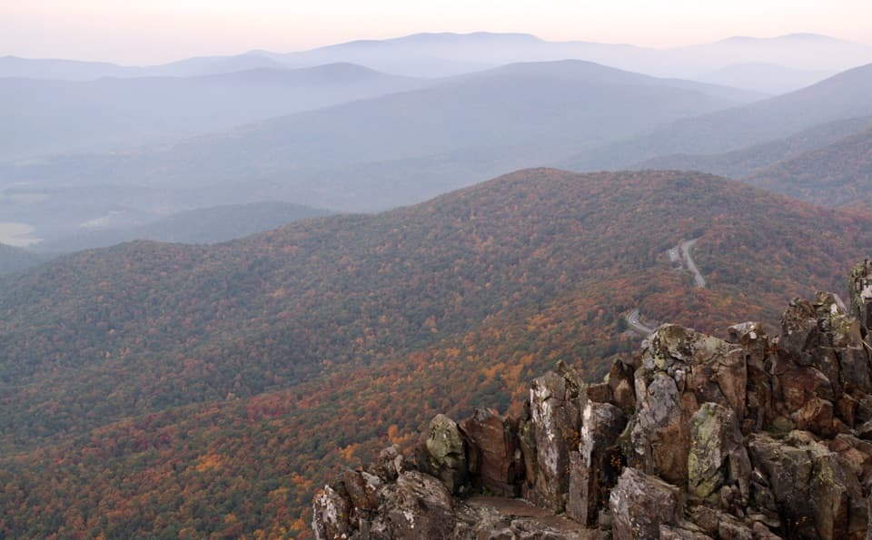
Spring and any time after recent rain showcase the waterfalls at their best. Fall adds leaf color and makes this a popular day hike. Weekends can get busy; start early to nab parking and quieter views. Summer afternoons can be hot and buggy, so morning starts are your friend.
Need-to-Know
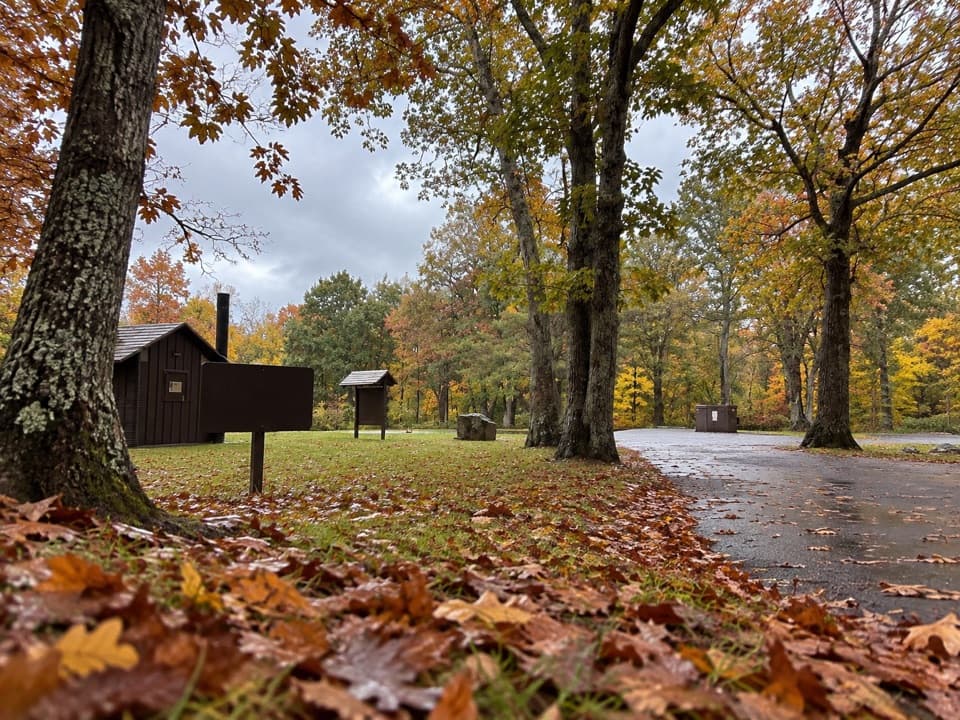
There are multiple Skyline Drive access points (Doyles River MP 81, Browns Gap MP 83, Jones Run MP 84). There are no restrooms or services at the trailheads; plan accordingly. Cell service is spotty—download or carry a map.
Where it is
38.2382, -78.6914Tips for Doyles River Falls
- 01Start early to secure parking at Doyles River, Browns Gap, or Jones Run.
- 02Pack extra water—the descent is easy but the return climb is stout.
- 03Wear traction footwear; expect slick rocks and a stream crossing near the falls.
- 04Go in spring or after rain for the best waterfall flow.
- 05Download an offline map; signage helps but cell service is limited.
Amenities
Near Doyles River Falls
All places →All trails →
0 mi awayLower Doyles River FallsThe taller, dramatic drop on a rewarding out-and-back waterfall hikeScenic Viewpoint
0 mi awayUpper Doyles River FallsA graceful 28-foot cascade in a lush, quiet ravineTrailhead · Parking
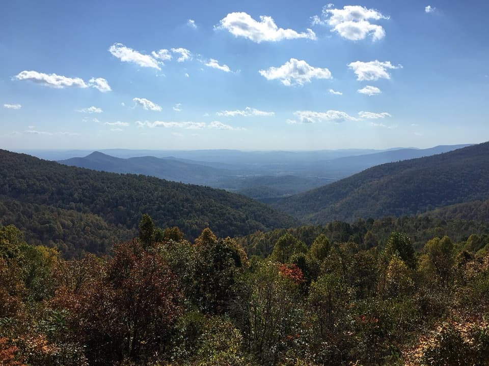
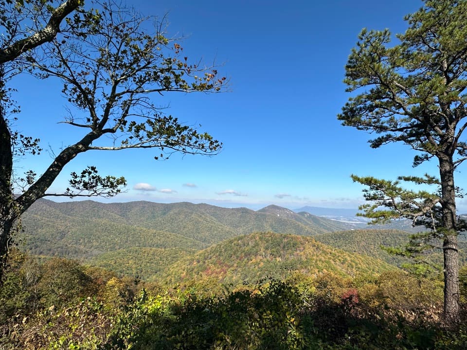
0.6 mi awayDoyles River OverlookSweeping south-facing vista over historic Browns CoveTrailhead · Pullout
0.9 mi awayJones Run FallsShady hike to a 42‑foot cascade with room to lingerTrailhead · Parking
1.1 mi awayLewis Peak TrailBig views and real solitude from a rugged south-district summitChallenging · 9.1 mi · 4.5 hr
1.1 mi awayBig Run–Rockytop Loop TrailRemote Shenandoah loop with ridge views, big creek, and real effortChallenging · 10.2 mi · 6 hr
1.1 mi awayBig Run LoopQuiet loop to Big Run's deep woods with overlook bookendsChallenging · 5.8 mi · 4 hr
1.2 mi awayDoyles River TrailShady creekside trek to two classic Shenandoah waterfallsModerate · 3.3 mi · 2.2 hr