
Place · 0.6 mi away
Challenging
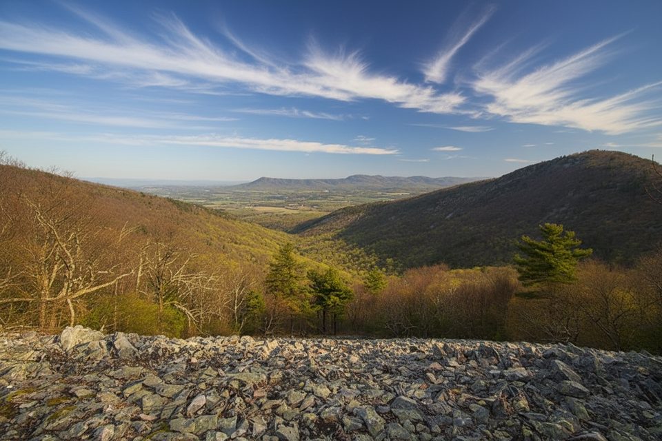
If you’re after sweeping Blue Ridge panoramas without the Shenandoah crowds, Lewis Peak delivers. This is a quieter, tougher outing with some of the best northwest-facing views in the South District—wide-open vistas created in part by a 2006 wildfire that thinned the summit forest.
Plan for roughly 9.1 miles total, out-and-back, starting from Browns Gap on Skyline Drive. You’ll use a mix of Browns Gap Fire Road and the Rockytop Trail before picking up the signed Lewis Peak Trail spur for the final climb. Expect about 1,500 feet of elevation gain overall, with several switchbacks on the approach to the summit. Junctions to watch: the Lewis Peak Trail fork around 3.6 miles in, and a summit spur near 4.2 miles—bring a map or GPS and pay attention to signs.
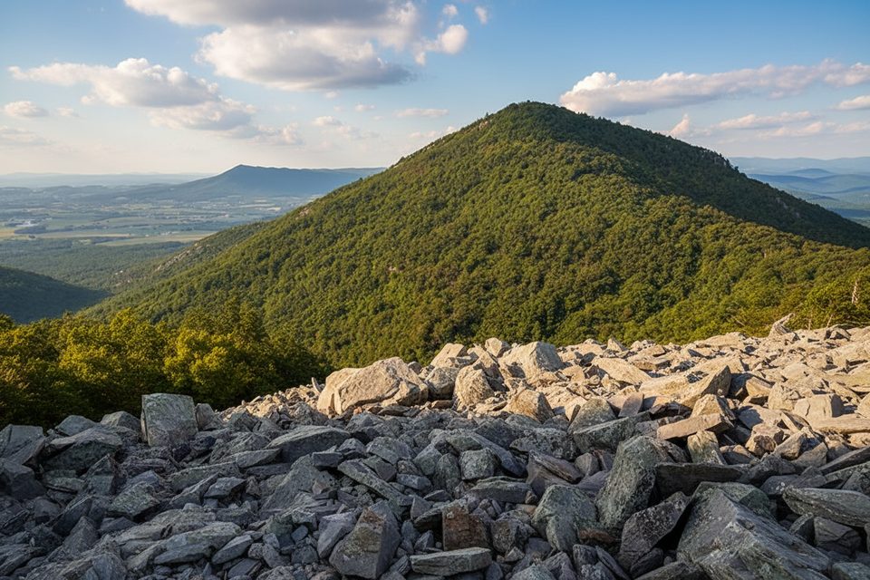
The payoff is a big, open rock face near the top with far-reaching views toward Massanutten and across layered ridgelines. Along the way, you’ll pass rocky talus slopes and scattered outcrops—great spots to pause for photos. The fire-affected summit area means fewer tall trees and more sky, which translates to excellent sightlines in multiple directions.
Footing varies from graded fire road to narrow, rocky singletrack. Some stretches are leaf-covered and can hide rocks or make the tread slick, especially after rain. It’s not technical, but the length, grade, and rougher bits add up. Solitude is a feature here—don’t be surprised if you see few other hikers.
Spring and fall are prime: spring wildflowers and fresh green canopy on the approach; fall colors and crisp air for long-range views. Winter can be rewarding but expect wind exposure and potential ice on the summit and open areas. Summer is hikeable but can be hot, humid, and occasionally overgrown in places; earlier starts help beat the heat and haze.
Not to be confused with the Lewis Falls area—this is a view hike first and foremost, with a wilder, more secluded vibe.
Park at Browns Gap on Skyline Drive and start down Browns Gap Fire Road toward Rockytop Trail; standard park entrance fee applies. No water or services along the route.
Rocky talus and leaf-covered sections can be slick; watch signed junctions around 3.6 and 4.2 miles. Summit and open areas are exposed to wind, ice in winter, and summer heat. Rattlesnakes possible—watch footing.
Place · 0.6 mi away
Place · 0.6 mi away
Place · 0.7 mi away
Place · 0.8 mi away
Moderate · 1.1 mi away
Moderate · 1.1 mi away
Moderate · 1.1 mi away
Challenging · 1.7 mi away

Parkwolf Tour Guide
