
Place · 1.6 mi away
Challenging

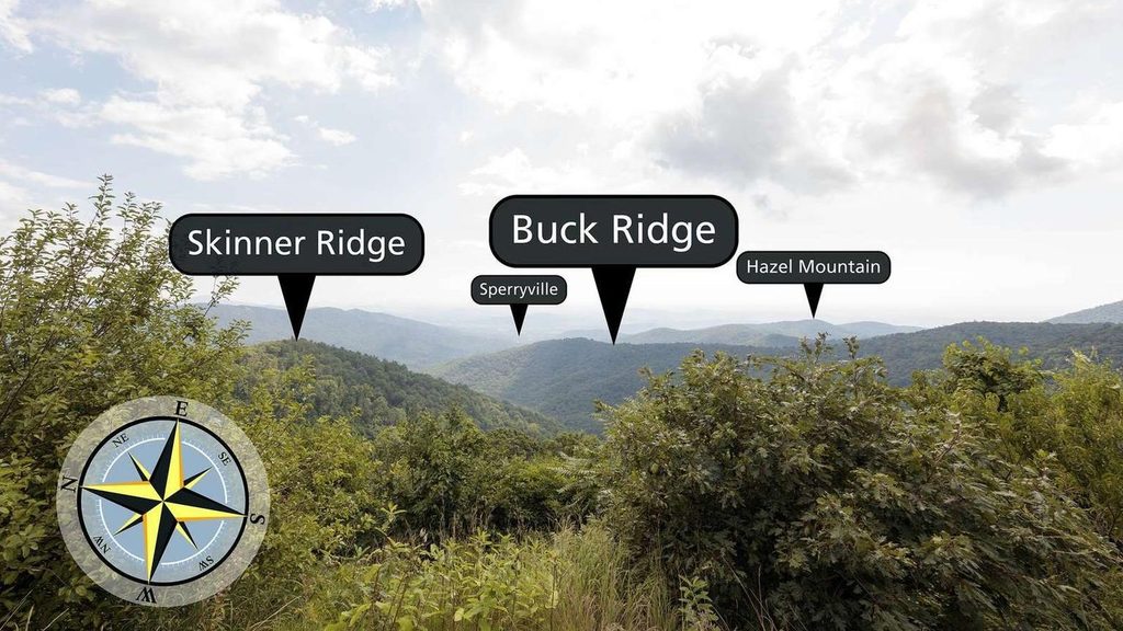
If you want the scenic, quieter way to Mary’s Rock, this is it. The full loop is about 9.1 miles total (including the summit spur) with roughly 2,600 feet of climbing—legit hard, but varied and rewarding. You get flowing water in Buck Hollow, a punishing staircase on Buck Ridge, and a panoramic capstone at Mary’s Rock.
Start at the small Buck Hollow trailhead off US‑211. Head up Buck Hollow alongside a lively stream with several crossings and rocky bits. Connect across the ridge and take the short, steep spur to Mary’s Rock for big views over the Shenandoah Valley and Skyline Drive. Close the loop on Buck Ridge—infamously steep with hundreds of constructed steps—then rejoin Buck Hollow back to your car.
The hollow is all about water and woods: a cool creek, mountain laurel and rhododendron, and seasonal wildflowers. Higher up, footing gets rougher and steeper on the approach to Mary’s Rock. Expect loose rock in places near the summit spur. Wildlife shows up here—deer, wild turkey, woodpeckers, and the occasional black bear—so keep your eyes open and your food sealed. The Mary’s Rock outcrop delivers wide, photo-worthy views and is the clear payoff.
This loop is strenuous. Most hikers will want 5–6 hours with breaks. The Buck Ridge stairs are a workout either way; many prefer to climb them rather than descend them to spare the knees. Poles help on both the steps and the loose-rock sections. Solid boots are a good call, and if you’re crossing the creek after rain, waterproof footwear pays off.
Parking is limited at the US‑211 pullout (it fills early on weekends). Cell service is spotty—save maps before you go. Dogs are allowed on leash, and many enjoy the creek, but the steep steps can be tough for smaller or older pups. Streams usually flow, but treat any water. There’s a shorter 5.7‑mile Buck Hollow–Buck Ridge loop if you want the loop experience without the Mary’s Rock spur.
Spring brings lush greenery, wildflowers, and lively streamflow (and also gnats/ticks—bring repellent). Summer stays mostly shaded but can be humid and overgrown in spots. Fall foliage here is excellent, and the summit views shine. Winter offers quiet and crisp views; ice can linger—carry traction if it’s cold.
Small Buck Hollow trailhead lot on US‑211 near Thornton Gap; roughly 10 spaces and it fills early on weekends. Starting here is outside a fee booth, but park entrance fees still apply.
Very steep stairs on Buck Ridge, loose rock near Mary’s Rock, multiple stream crossings, spotty cell service, and seasonal bugs/ice—use poles and traction as needed.
Place · 1.6 mi away
Place · 1.7 mi away
Place · 1.7 mi away
Place · 1.8 mi away

Challenging · 2 mi away

Moderate · 2.1 mi away

Moderate · 2.2 mi away

Moderate · 2.2 mi away

Parkwolf Tour Guide
