
Place · 0.9 mi away
Challenging
If you want a quieter, backcountry-feeling hike with a little bit of everything—rocky ridges, a waterfall and small cave, and occasional long views—White Rocks delivers. Most hikers link White Rocks with the Hazel Mountain and Hazel River Trails for a 7–8.5 mile loop (about 8.0 miles total is a common choice), with roughly 1,500–1,700 feet of gain. Plan on 4–6 hours depending on pace and how much you linger at the falls or scramble to viewpoints.
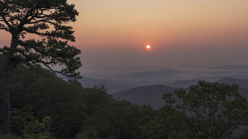
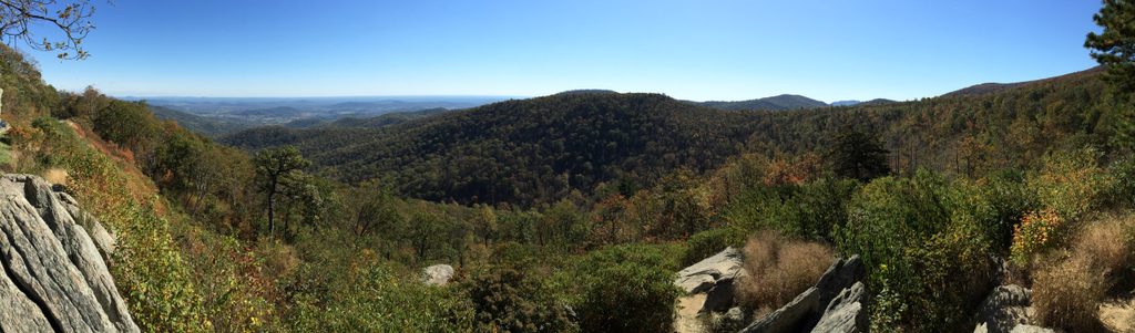
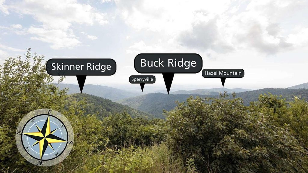
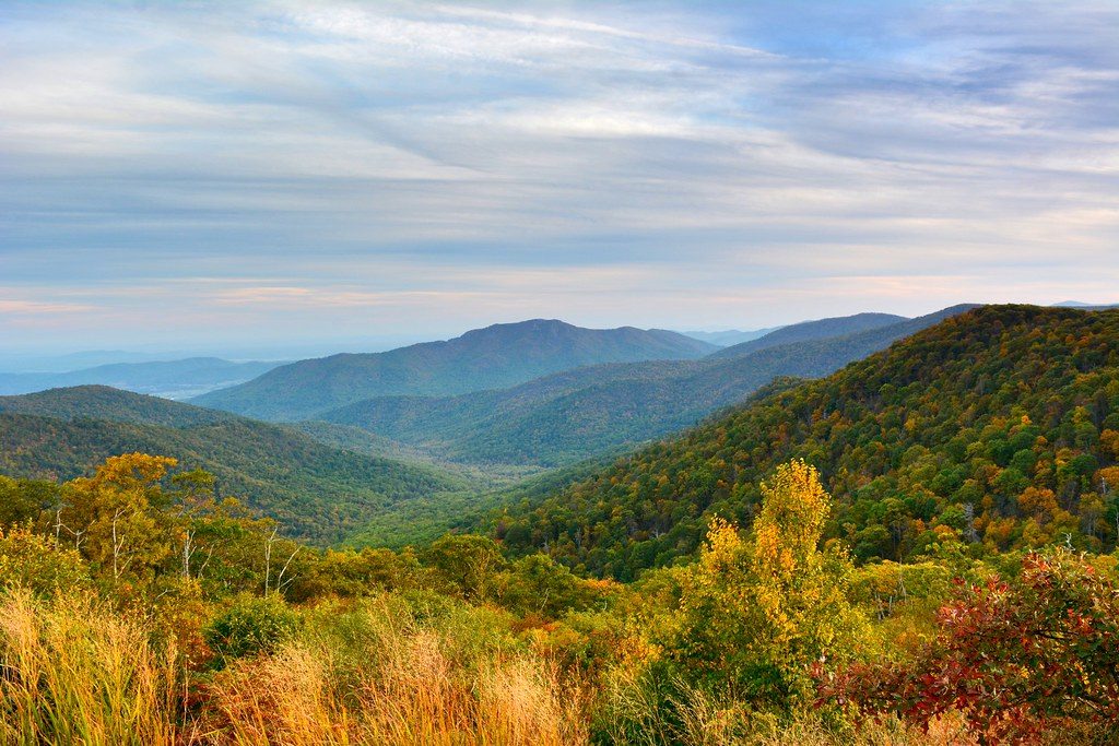
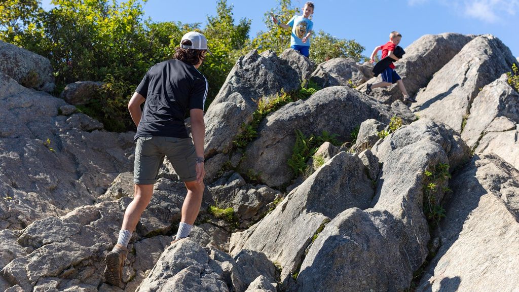
Expect a largely shaded walk through mixed hardwood and hemlock forest, with a rolling profile that stacks several ascents and descents. The namesake White Rocks are pale quartzite outcrops—classic Blue Ridge geology—that poke through the canopy. Views from the main tread can be filtered; the best vistas come from short, optional off‑trail scrambles to rocky perches. If you’re game for a little bushwhacking, you’ll be rewarded with wide looks toward Hazel Mountain, Oventop, Mary’s Rock, The Pinnacle, and the valleys beyond.
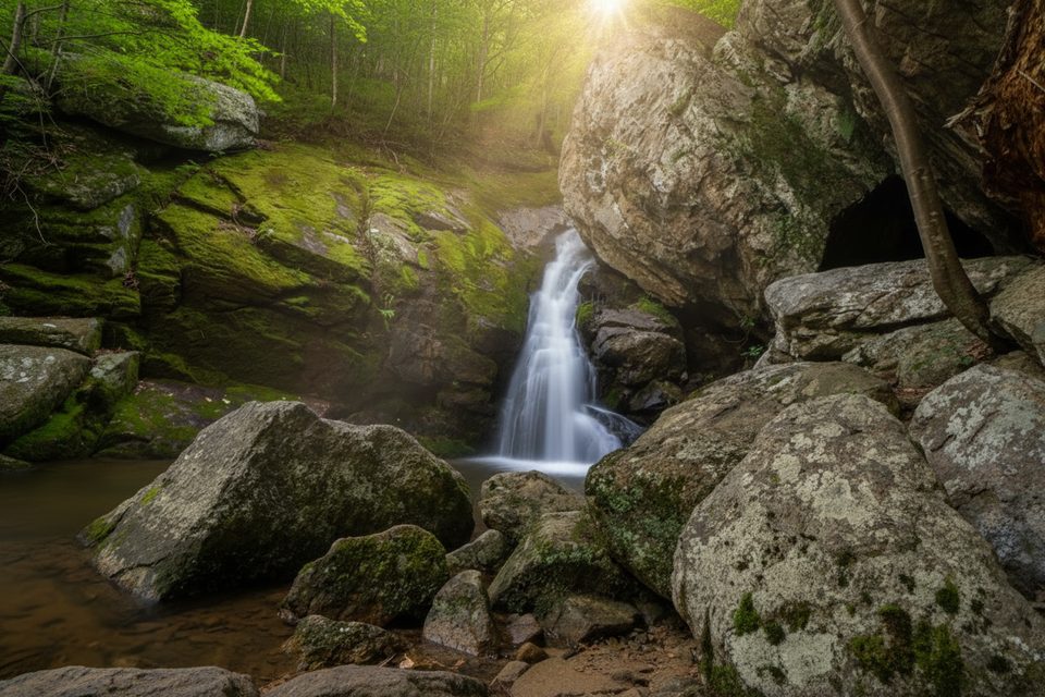
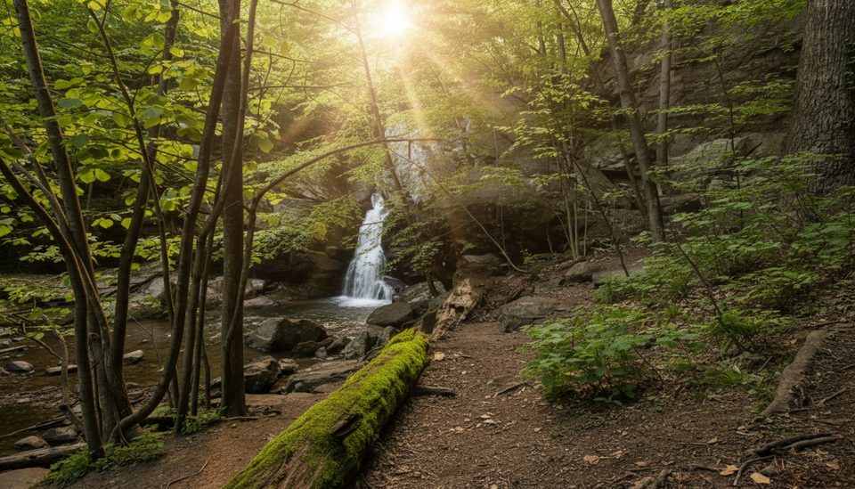
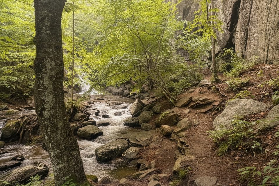
A steep side path near the junction with the Hazel Falls/Cave Trail drops to Hazel Falls (aka Cave Falls) and a small cave—a perfect snack stop and a cool-down on warm days. The loop also parallels and crosses lively streams, including the Hazel River; they’re scenic, soothing, and handy for water refills if you bring a filter.
Wildlife is part of the draw. People commonly spot white‑tailed deer and, occasionally, black bears. Snakes, including copperheads, sun themselves on warm rocks—watch your footing. Spring brings birdsong and wildflowers; fall trades lush foliage for crisper air and clearer views. Winter can be beautiful but icy on rocks and crossings.
This route is signed and blazed, but it feels more rugged and less trafficked than the park’s marquee hikes. The tread is narrow and rocky in places, and stream crossings can get spicy after rain. Wear long pants if you plan to explore side viewpoints—laurel and thorns can be grabby.
Best time to hike: Spring for full waterfalls and flowers; fall for foliage and open views; summer is shaded but buggy and leafy (views more limited); winter is fine with traction care. If weekend crowds drive you nuts, this loop is a solid bet for solitude compared to the park’s headliners.
Practical notes: No day-use permit is required. Backcountry camping is allowed with a free permit; avoid pitching under dead hemlocks. Pets are allowed on leash. This trail is not accessible for wheelchairs or strollers, and includes uneven, rocky surfaces and steep sections.
Use the trailhead in the park’s central district near Hazel Mountain—south of Mary’s Rock and close to The Pinnacle—as shown on your map. Roadside spaces are limited; arrive early.
Expect steep, rocky footing and potentially hazardous stream crossings after rain. Copperheads are present; watch where you step and place hands. Avoid camping under dead hemlocks.
Place · 0.9 mi away
Place · 1.2 mi away
Place · 1.2 mi away
Place · 1.6 mi away

Moderate · 0.9 mi away
Moderate · 1.1 mi away
Moderate · 1.1 mi away
Moderate · 1.1 mi away

Parkwolf Tour Guide
