
Place · 0.3 mi away
Moderate
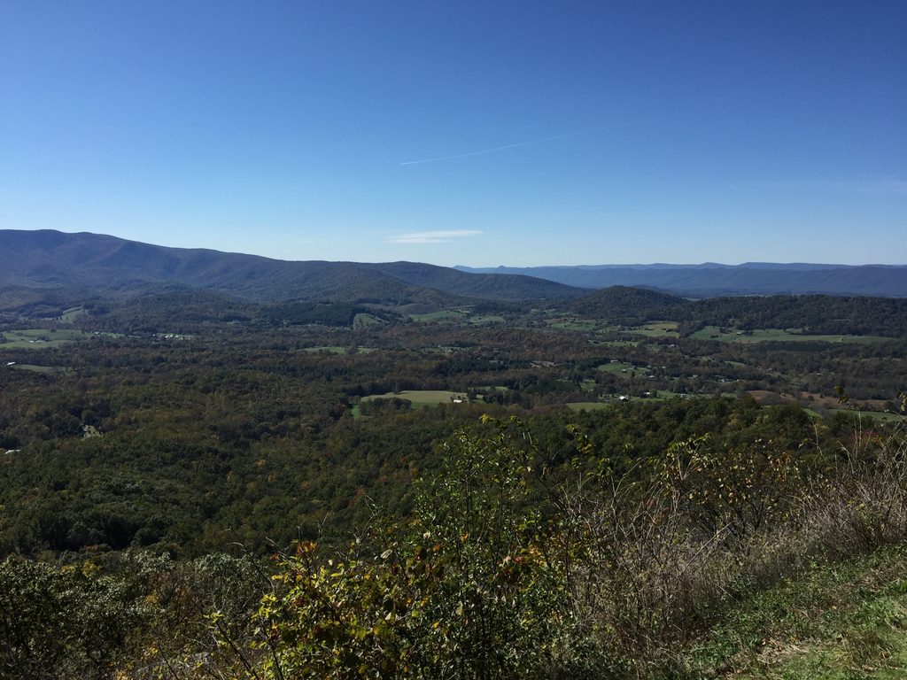
Looking for a quick Shenandoah hike with a payoff? This one stacks two overlooks with a geologic showpiece in under three miles. The west spur dishes out valley-and-ridge vistas; the east spur drops you to an outcrop of polygonal rock columns—some of the best columnar jointing in the park.
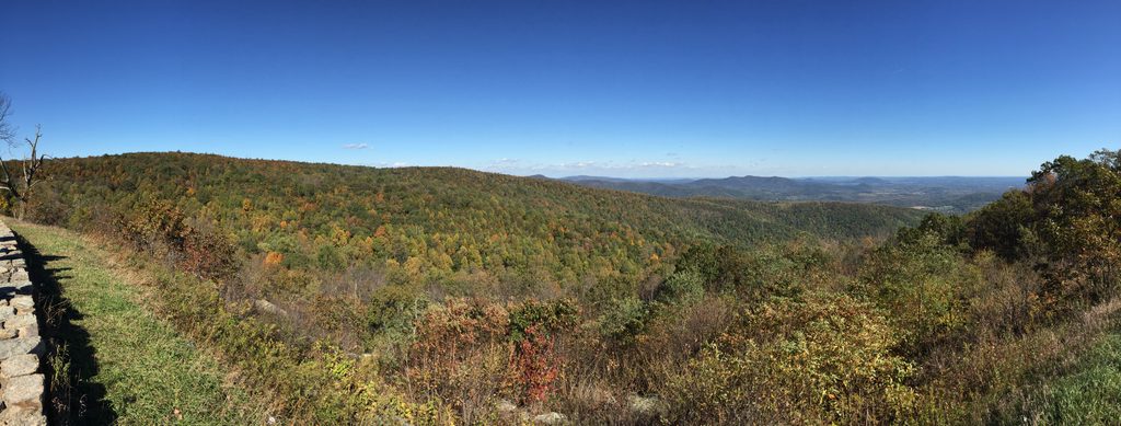
Start from Compton Gap Parking (Skyline Drive milepost 10.4), cross the road, and follow the white‑blazed Appalachian Trail south. After a steady climb you’ll reach a signed junction. Go right for the west viewpoint first, then return to the junction and continue to the east spur for the rock columns. The outing is about 2.4 miles total (out-and-back, including both spurs) with roughly 600–800 feet of elevation gain.
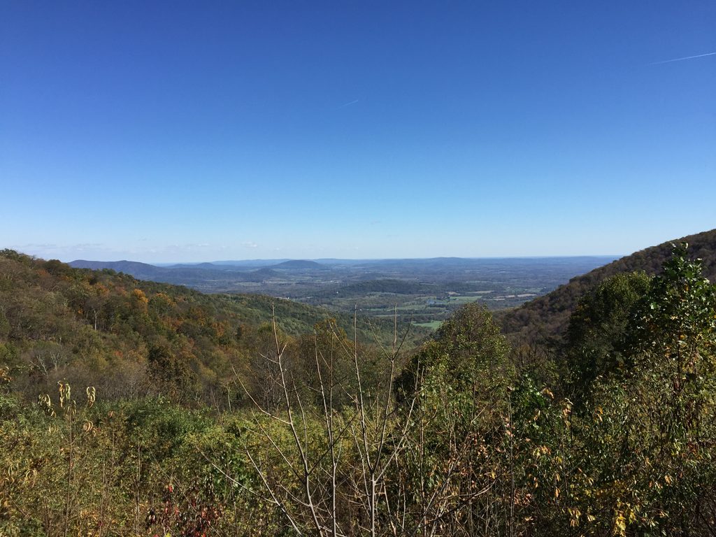
The main AT is well‑maintained and mostly shaded through hardwood forest. The west spur is rocky but moderate and ends at a satisfying overlook of the Shenandoah Valley and Blue Ridge. The east spur is steeper and rougher underfoot, and can be slick when wet—take your time on the stone steps and around drop‑offs near the geologic feature. Overall, it’s a short, steady climb that most hikers will find manageable.
Spring and fall are the sweet spots—cooler temps, wildflowers or foliage, and clearer views. Summer is green but can be muggy and buggy. Winter is doable, but the rocky spurs can be treacherous with ice or snow. Aim for early morning or late afternoon for softer light at the overlooks and fewer people; this hike is generally less crowded than nearby summits.
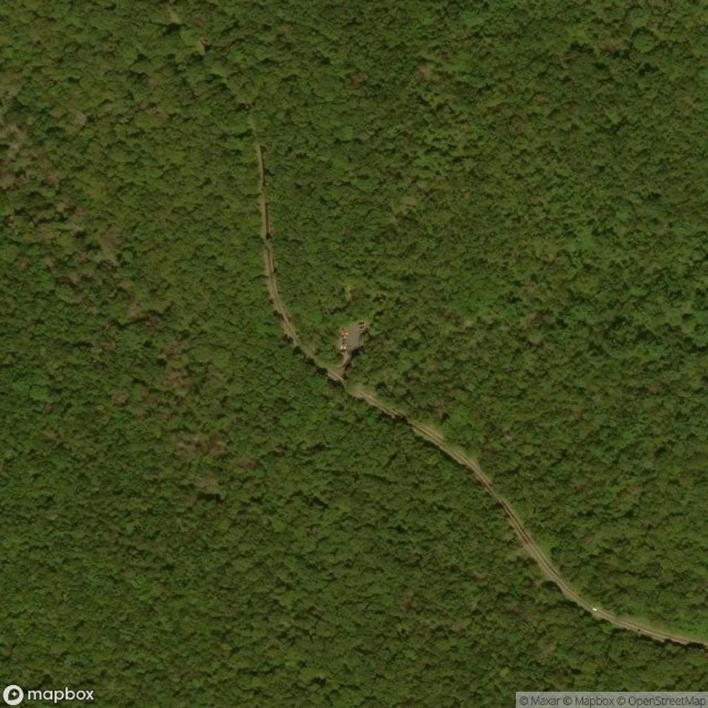
Park at Compton Gap Parking Area on Skyline Drive (milepost 10.4). Cross the road to pick up the white‑blazed Appalachian Trail. No amenities at the lot; parking is generally straightforward.
Steep, rocky east spur can be slippery when wet or icy; watch footing near drop-offs at the geologic site. No water on route; summer bugs can be heavy.
Place · 0.3 mi away
Place · 0.4 mi away
Place · 1.4 mi away
Place · 2 mi away
Easy · 0 mi away
Easy · 1.1 mi away

Easy · 1.4 mi away
Easy · 3.8 mi away

Parkwolf Tour Guide
