Parking
Park at Dickey Ridge Visitor Center on Skyline Drive at mile 4.6, then cross the drive to the marked trailhead. Restrooms are at the visitor center; a park entrance fee applies.
Shenandoah National Park, VA
A short loop through a former mountain homestead.
Overview
Map & elevation
Plan your hike

The highest, rockiest slopes around here are a summer buffet for grizzly bears.
Shenandoah Tour Guide
Parkwolf is a GPS audio tour guide for Shenandoah National Park. As you drive, it chimes in with what’s ahead: hidden gems, upcoming stops, history, geology, and wildlife, right through your car’s speakers.
See the Shenandoah audio tourRecorded for this trailhead
Dickey Ridge: Maps, Lodge History and a Short Walk“Up ahead is Dickey Ridge Visitor Center, a useful stop for maps, ranger advice and valley views around the building.”
Plays as you drive up to this trailhead in the Parkwolf Shenandoah Tour Guide.
More stories near here in the app
“Fantastic app with many points of information… It’s great to just turn on while you’re driving and it gives you an audio tour of the national Park. We love it!!!!”


Trail guide
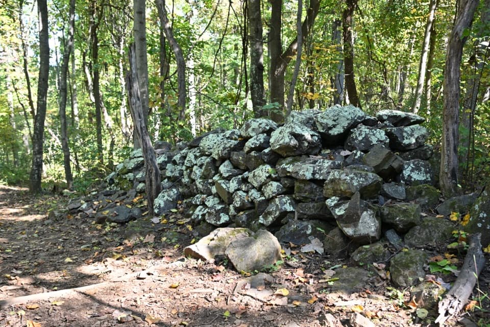
Fox Hollow Trail is a roughly 1.2-mile circuit from the trailhead across Skyline Drive from Dickey Ridge Visitor Center. It follows a short section of Dickey Ridge Trail, then turns onto Fox Hollow and circles back past the Fox family cemetery, stone piles, and an old springbox. The park calls it easiest and lists 310 feet of gain; full route measurements come out closer to 1.3 miles, so allow about an hour if you stop along the way. This is a walk for the homestead story, not a big view.
From the signed start, take Dickey Ridge Trail first, then turn right onto Fox Hollow at the concrete marker. The kiosk has two downhill choices that can be easy to mix up. Follow the blue blazes and check the map before you leave the visitor-center lot: the park says cell and GPS service can be unreliable here.
Thomas and Martha Fox began farming this hollow in 1856, and their family remained into the 1930s. The low stone piles and walls are rocks cleared from fields that have since grown back into forest. The family cemetery, a springbox, and a striking three-branched sycamore are all along the route. Stay on the tread around the cemetery.
Expect roots and uneven rocks underfoot, with a small stream crossing reported on the loop. The trail is not ADA accessible, and most of it stays under trees; the broad valley view is at the separate Dickey Ridge overlook, not along this route. Near the spring about halfway through, pickerel frogs and salamanders have been recorded. The NPS TRACK Trail brochure and signs add a kid-friendly way to explore the history.
Wildlife
 325 sightingsBlack BearMost seen around 6 AMSighting map
 21 sightingsBald EagleMost seen around 10 AMSighting map
 1,036 sightingsWhite-tailed DeerMost seen around 7 PMSighting map
 167 sightingsWild TurkeyMost seen around 7 AMSighting map
 93 sightingsTimber RattlesnakeMost seen around 6 PMSighting map
 24 sightingsCoyoteMost seen around 6 AMSighting map
Sighting maps show where each species has been reported across Shenandoah. Wildlife moves, so no sighting is guaranteed.
Keep exploring
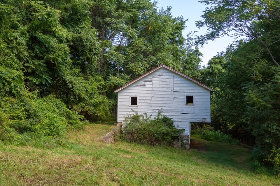 ModerateSnead Farm Loop3.7 mi · 2.5 hr · At the trailheadA 3.7-mile loop to the Snead barn and a west-facing ridge view.
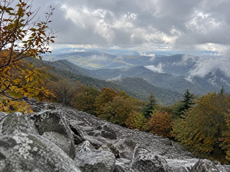 ChallengingAppalachian Trail through Shenandoah101.2 mi · 2.3 days · 2.3 mi awayA 101-mile walk on the white-blazed Appalachian Trail through Shenandoah.
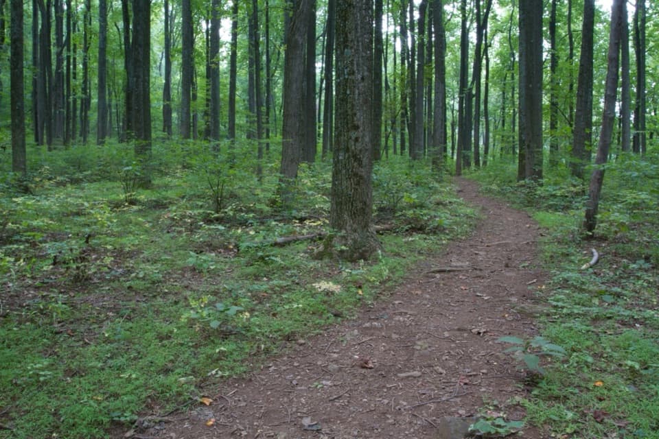 EasyDickey Ridge Trail2.7 mi · 2.2 hr · 2.4 mi awayA streamside walk with a bridge and old homestead traces.
 EasyLands Run Falls Hike1.3 mi · 1.5 hr · 2.8 mi awayA quick gravel-road walk to falls that may run dry.
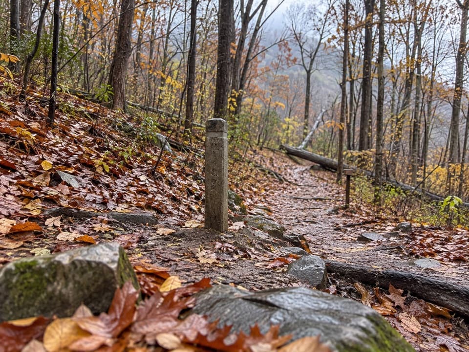 ModerateHickerson Hollow Trail2.1 mi · 1.8 hr · 2.8 mi awayA short forest walk past old homesites in a quiet hollow.
 ModerateCompton Peak2.4 mi · 1.8 hr · 3.8 mi awayA short ridge climb rewards you with views and ancient rock columns.
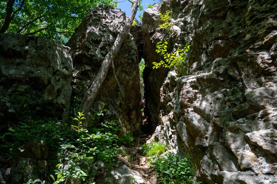 EasyFort Windham Rocks Hike0.8 mi · 1 hr · 3.8 mi awaySplit boulders and a hidden cleft just off the A.T.
 ChallengingMount Marshall and Bluff Two-Night Loop15.2 mi · 12.5 hr · 4.6 mi awayA two-night ridge loop with rocky views from the Appalachian Trail.
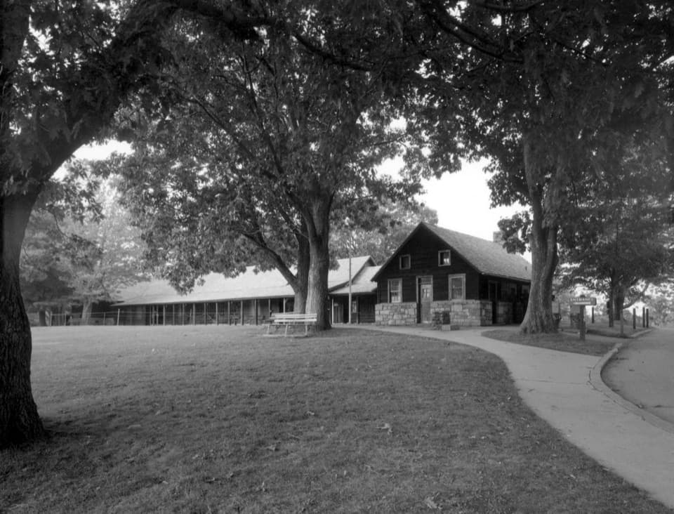 Visitor center · 0.1 mi awayDickey Ridge Visitor CenterYour best first stop for ranger advice, maps, and ridge views.
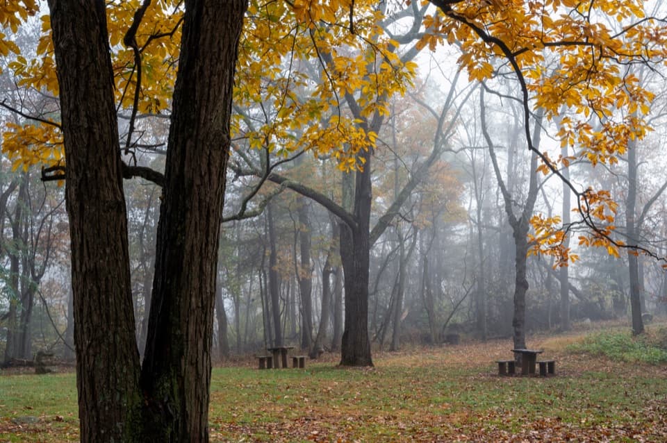 Picnic area · 0.3 mi awayDickey Ridge Picnic GroundsA shaded lunch stop with a 1930s motorist retreat behind it.
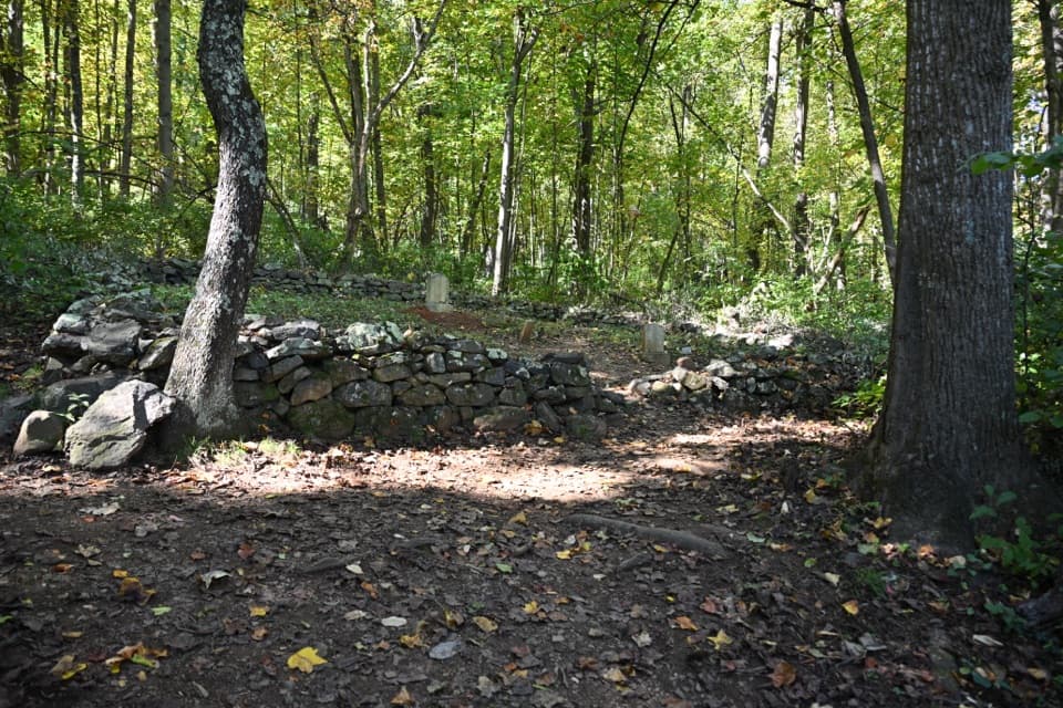 Sight · 0.4 mi awayFox Hollow CemeteryA few gravestones hold a mountain family's story.
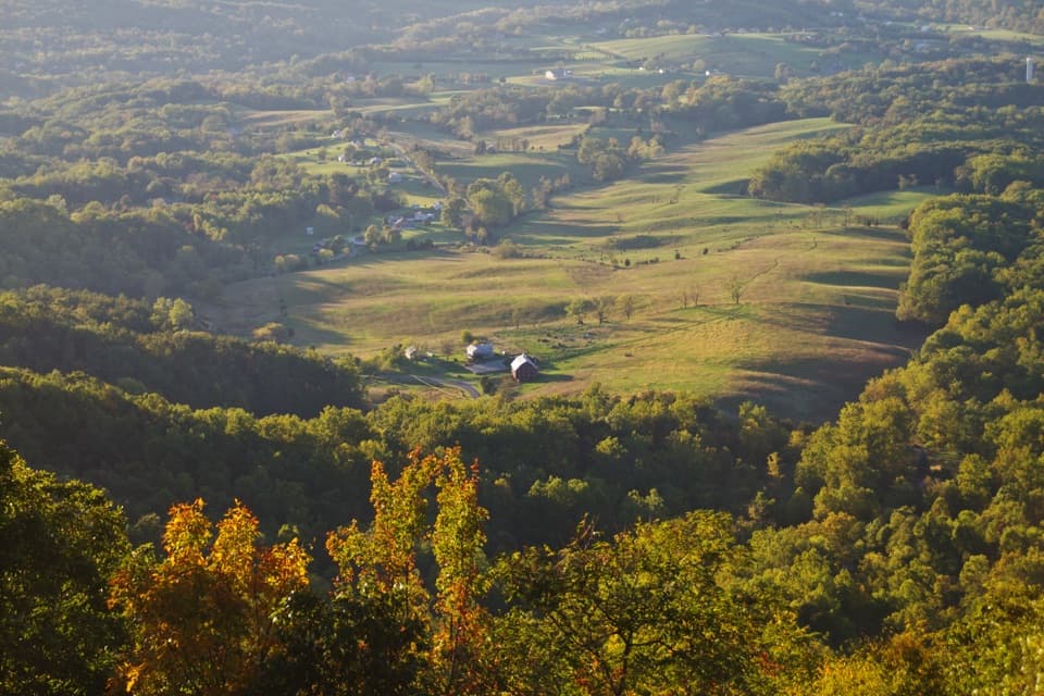 Scenic pullout · 0.7 mi awayNo Name OverlookA quick Skyline Drive stop for Shenandoah Valley views.
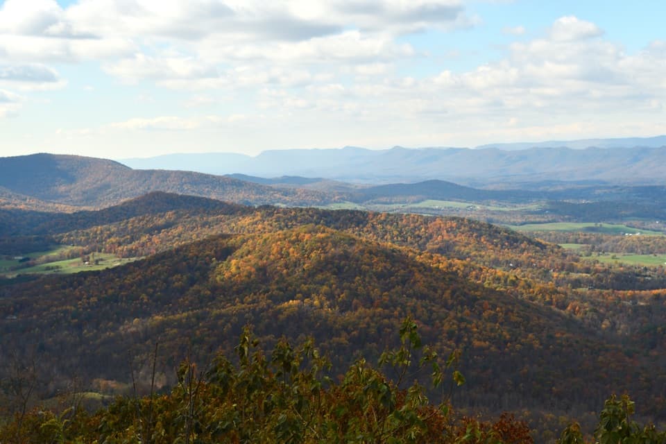 Scenic pullout · 1 mi awaySignal Knob OverlookA sunset pull-in above the Shenandoah’s looping river and layered ridges.
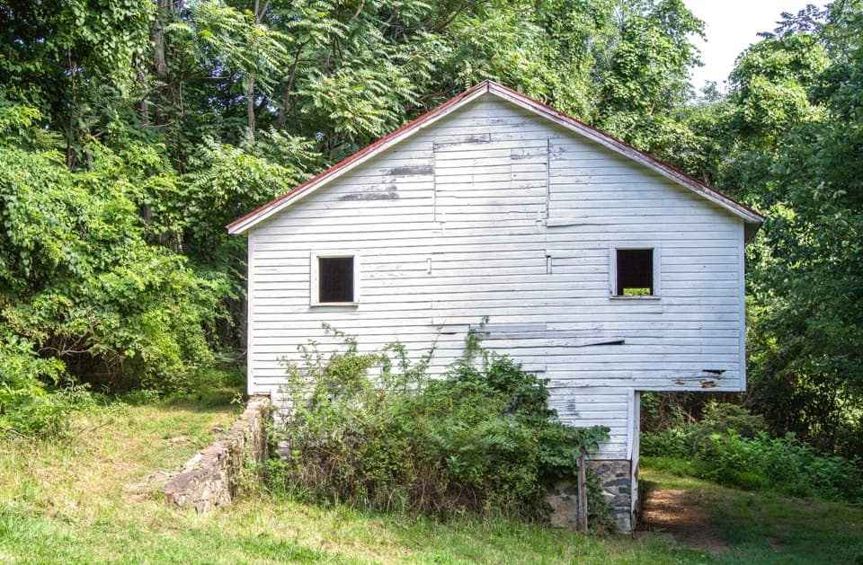 Sight · 1.1 mi awaySnead FarmWalk to a white barn and stone farmstead remains.
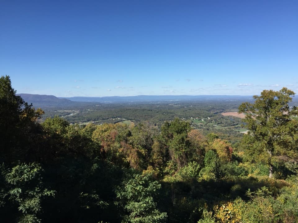 Scenic pullout · 1.3 mi awayShenandoah Valley OverlookAn easy pullout for a north-facing view across Shenandoah Valley.
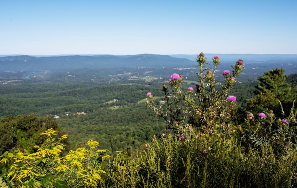 Scenic pullout · 2 mi awayGooney Run OverlookTry the north end for river bends across Browntown Valley.
Parkwolf’s Shenandoah ranking

The audio tour guide for the drive, plus offline maps, trails, and wildlife heatmaps for when the signal drops.





