
Place · 0 mi away
Moderate
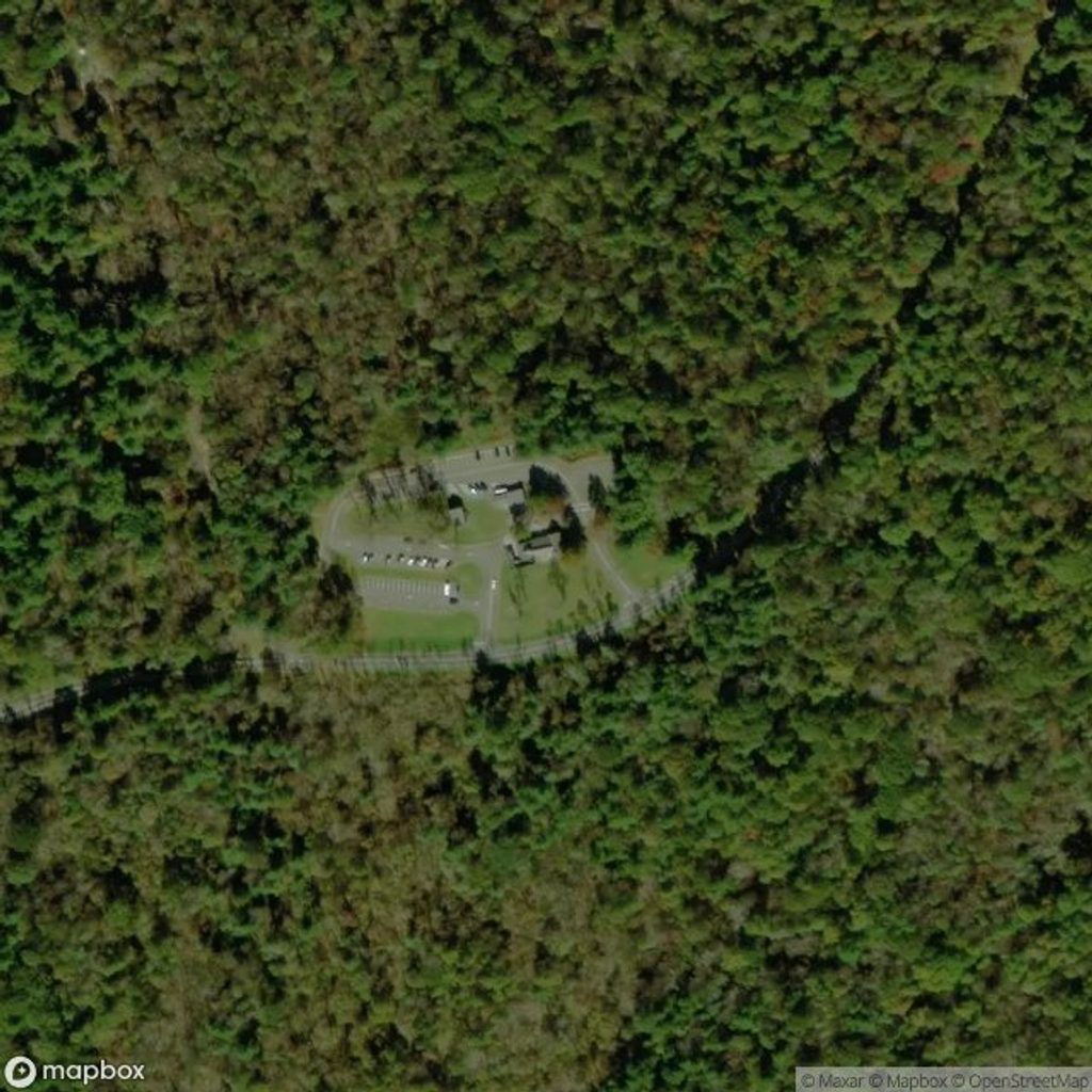
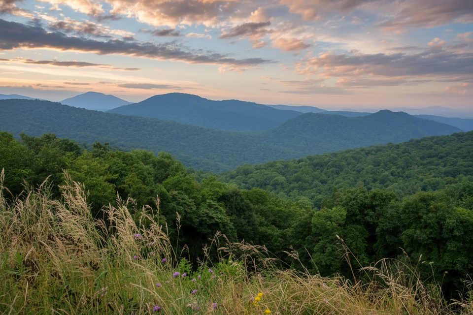
If you like your Shenandoah hikes wild and quiet, Knob Mountain delivers. Expect a sustained climb to a forested ridge, a remote feel through designated wilderness, and a good chance of spotting deer—and plenty of black bear sign. Views are limited, but the reward is solitude and classic Blue Ridge forest hiking.
On its own, a commonly used out-and-back on Knob Mountain is about 7.3 miles total and takes roughly 3.8 hours for most hikers. Many people turn it into the better-known Knob Mountain–Jeremy’s Run loop (roughly 13–14 miles total), which is a full-day outing and notably tougher thanks to length and numerous stream crossings.
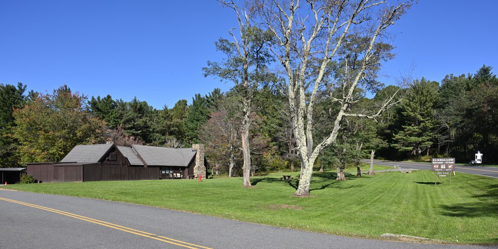
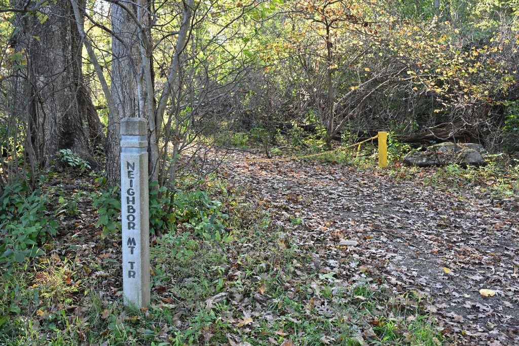
Start at Elkwallow Wayside on Skyline Drive. Take the short Elkwallow Trail to the white-blazed Appalachian Trail, go left about 0.2 mi, then pick up the blue-blazed Jeremy’s Run Trail. In roughly 1.2 mi you’ll pass the Knob Mountain Connector; around 1.5 mi turn right onto the yellow-blazed Knob Mountain Trail to gain the ridge via switchbacks. The ridge is mostly wooded with occasional peeks through the trees; the summit is marked by a concrete post and no grand overlook. If you’re doing the full loop, you’ll eventually pass the Mathews Arm Campground registration area and use Elkwallow Trail back to the Wayside.
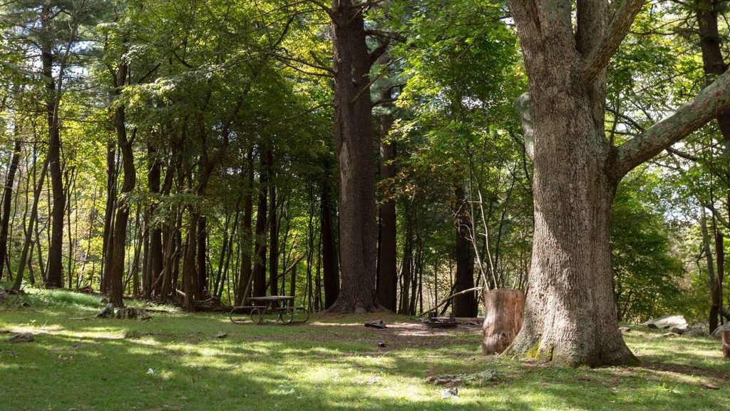
This is a hardwood-forest hike with spring wildflowers, lush summer shade, and standout fall color. Wildlife encounters are common—white-tailed deer are routine, and signs of American black bear are frequently noted. The geology underfoot is classic Blue Ridge metamorphic rock, and you may notice storm blowdowns and regrowth in places. If you add Jeremy’s Run, you’ll get clear pools and small cascades plus multiple rock-hop crossings.
Spring brings wildflowers and lively streams; expect higher water at crossings after rain. Summer offers deep shade but can be hot and humid. Fall is the sweet spot for cooler temps and foliage. In winter the trail remains open; leaf-off slightly improves views, but ice and cold water make crossings trickier. Weekdays and early starts keep the experience quiet year-round.
Park at Elkwallow Wayside on Skyline Drive (mile 24). Restrooms and picnic facilities are available.
Steep initial climb and many Jeremy’s Run crossings that can run high after rain. Frequent black bear activity—secure food, stay alert, and keep pets leashed.
Place · 0 mi away
Place · 0.2 mi away
Place · 1.4 mi away
Place · 1.8 mi away
Challenging · 0 mi away
Challenging · 0.2 mi away
Moderate · 1.2 mi away
Moderate · 1.2 mi away

Parkwolf Tour Guide
