Parking
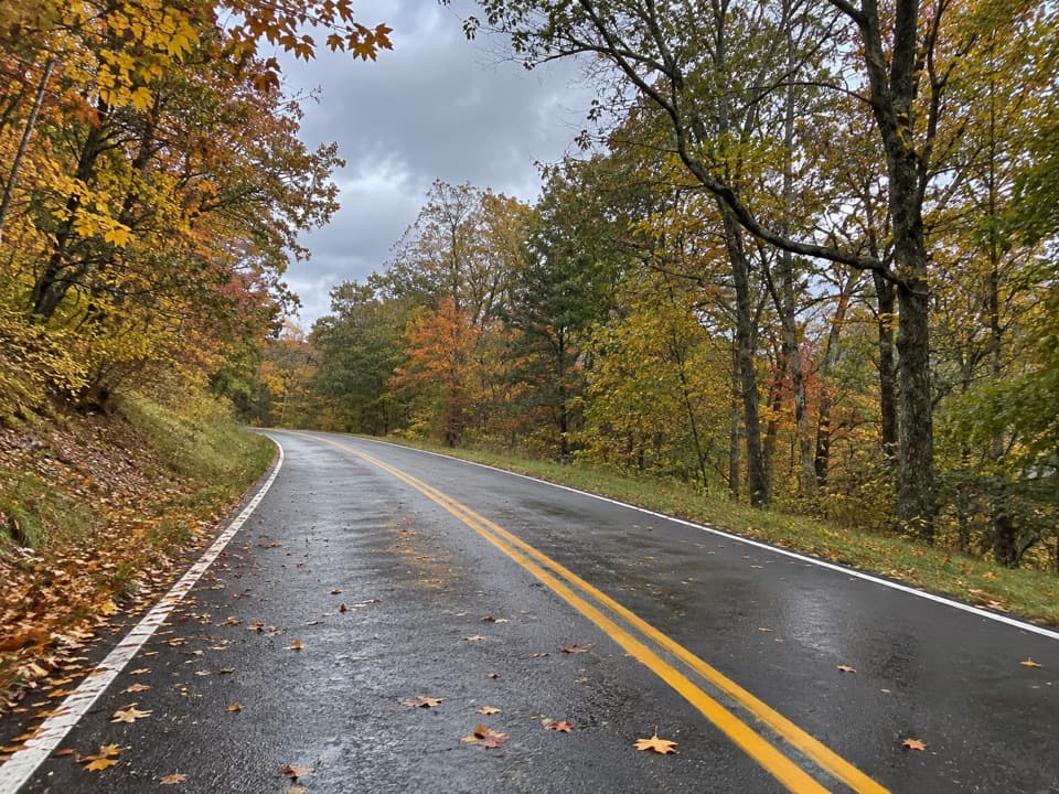
Use the Thornton River trail access on Skyline Drive near milepost 25.4. The Hull School junction is not a verified vehicle pickup, so plan to return to this access.
Shenandoah National Park, VA
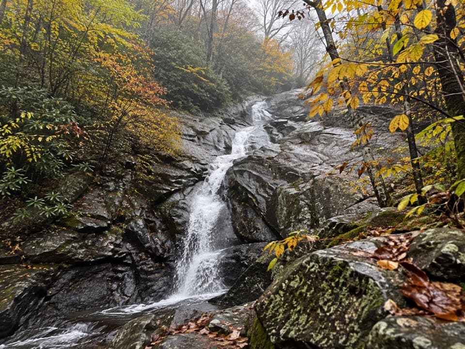
A steep descent on the former Thornton Hollow fire road.
Overview
Map & elevation
Plan your hike

The highest, rockiest slopes around here are a summer buffet for grizzly bears.
Shenandoah Tour Guide
Parkwolf is a GPS audio tour guide for Shenandoah National Park. As you drive, it chimes in with what’s ahead: hidden gems, upcoming stops, history, geology, and wildlife, right through your car’s speakers.
See the Shenandoah audio tourRecorded for this area
Antlers Built Again Each Year“If you spot a white-tailed buck in summer, his antlers may look soft and furry. That covering is called velvet, and blood vessels nourish the growing antlers beneath it.”
Plays on the road 0.5 mi from the trailhead in the Parkwolf Shenandoah Tour Guide.
More stories near here in the app
“Fantastic app with many points of information… It’s great to just turn on while you’re driving and it gives you an audio tour of the national Park. We love it!!!!”


Trail guide
Plan on a 6.26-mile out-and-back from Skyline Drive at milepost 25.4. The 3.13-mile descent to Hull School junction drops about 1,300 feet; budget roughly five hours for the return climb on the same trail.
The Upper segment ends at its junction with Hull School Trail. The continuation toward the park boundary follows Thornton River Lower Trail. No separate vehicle pickup at the junction was verified, so plan to retrace the route to Skyline Drive.
The route follows the old Thornton Hollow fire road, steepest near the Skyline Drive end before it eases lower down. Pets are allowed here; keep them on a physical leash no longer than six feet.
Wildlife
 325 sightingsBlack BearMost seen around 6 AMSighting map
 21 sightingsBald EagleMost seen around 10 AMSighting map
 1,036 sightingsWhite-tailed DeerMost seen around 7 PMSighting map
 167 sightingsWild TurkeyMost seen around 7 AMSighting map
 93 sightingsTimber RattlesnakeMost seen around 6 PMSighting map
 24 sightingsCoyoteMost seen around 6 AMSighting map
Sighting maps show where each species has been reported across Shenandoah. Wildlife moves, so no sighting is guaranteed.
Keep exploring
 ChallengingHull School and Thornton River Loop7.9 mi · 7 hr · 1 mi awayA backcountry river loop with falls, stone walls, and a long climb.
 ChallengingNeighbor Mountain and Jeremys Run Loop14 mi · 10 hr · 1.4 mi awayA long ridge-to-stream loop with fourteen crossings to plan around
 ChallengingKnob Mountain – Jeremy's Run Loop13.3 mi · 9 hr · 1.5 mi awayA long wooded loop with repeated crossings of Jeremy's Run.
 ModerateKnob Mountain - Jeremys Run Loop6 mi · 7.5 hr · 1.5 mi awayA six-mile Elkwallow loop with a steep climb and stream crossing.
 ModerateByrd's Nest #4 Loop2.5 mi · 1.5 hr · 1.8 mi awayA short climb to a day-use shelter and back by fire road
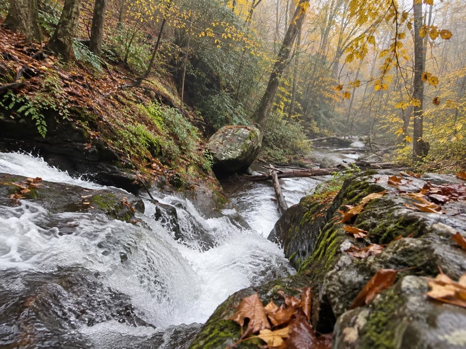 ChallengingPiney Branch and Piney Ridge Loop10 mi · 8 hr · 2.6 mi awayWalk Piney Branch’s cascades before climbing the wooded Piney Ridge.
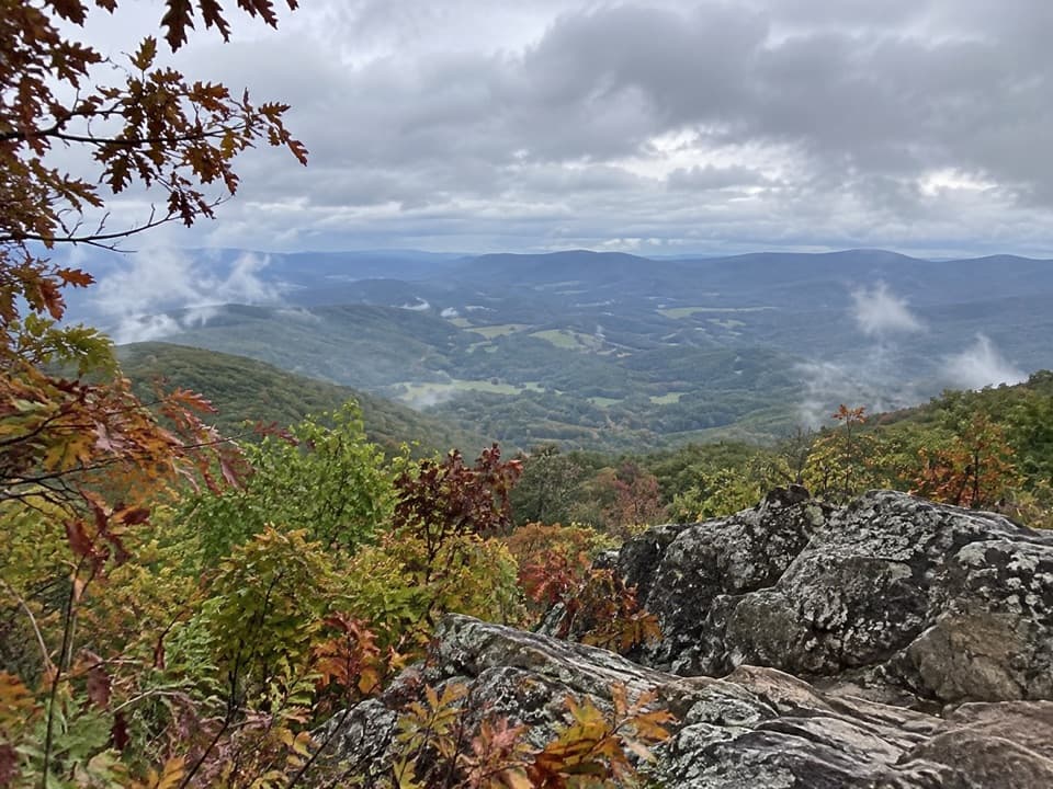 ModerateSugarloaf Loop5 mi · 3.5 hr · 2.6 mi awayA wooded five-mile circuit to a rocky view above Hogback.
 ModerateOverall Run Falls5.1 mi · 4 hr · 3 mi awayThe gorge view still pays off when the falls run low.
 Scenic pullout · 0.7 mi awayJeremys Run OverlookA tight west-facing valley view worth timing for sunset.
 Scenic pullout · 1.1 mi awayThornton Hollow OverlookA broad east-facing panorama into Thornton Hollow.
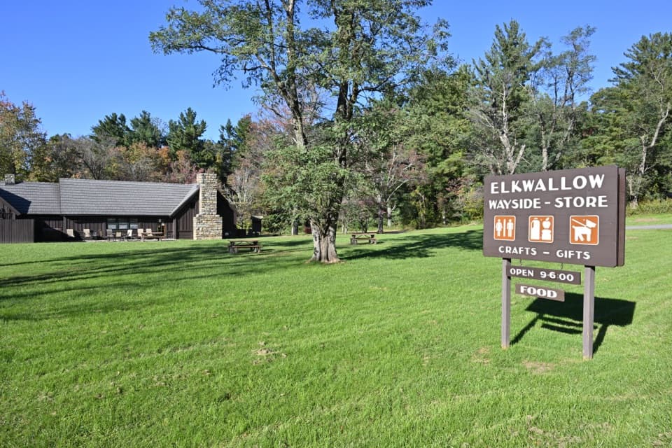 Food · 1.4 mi awayElkwallow WaysideA practical Skyline Drive stop for smash burgers and camping supplies.
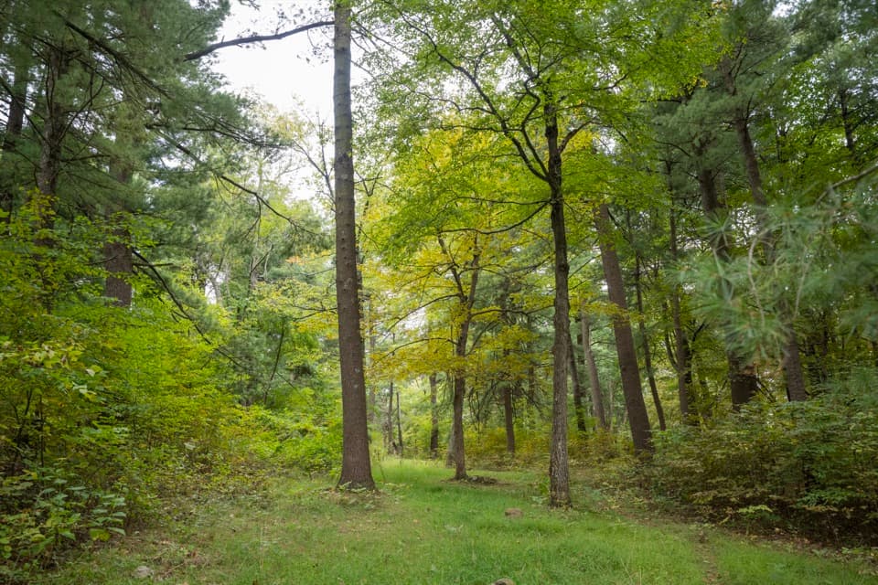 Picnic area · 1.5 mi awayElkwallow Picnic GroundsA wooded picnic loop beats lunch in the car on Skyline Drive.
 Scenic pullout · 1.9 mi awayBeahms Gap OverlookA quick orientation stop with its mountain view across the road.
 Lodging · 2.1 mi awayRange View CabinA hike-in cabin with a signed stone from 1933.
 Sight · 2.6 mi awayPiney River CCC BuildingA modest CCC office tied to Shenandoah’s early park design
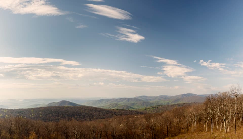 Scenic pullout · 2.8 mi awayRattlesnake Point OverlookPick out six Blue Ridge peaks from a meadow-framed roadside view.
Parkwolf’s Shenandoah ranking

The audio tour guide for the drive, plus offline maps, trails, and wildlife heatmaps for when the signal drops.