
Place · 0.3 mi away
Moderate
If you want a quieter Shenandoah loop that trades big, crowded overlooks for forest immersion and seasonal blooms, Sugarloaf Loop delivers. It’s a moderate 5.1-mile total loop with roughly 1,000–1,120 feet of gain—enough to feel like a real hike without punishing climbs. Expect a peaceful, woodsy vibe, brook-side stretches, and a couple of pocket-sized vistas rather than blockbuster views.
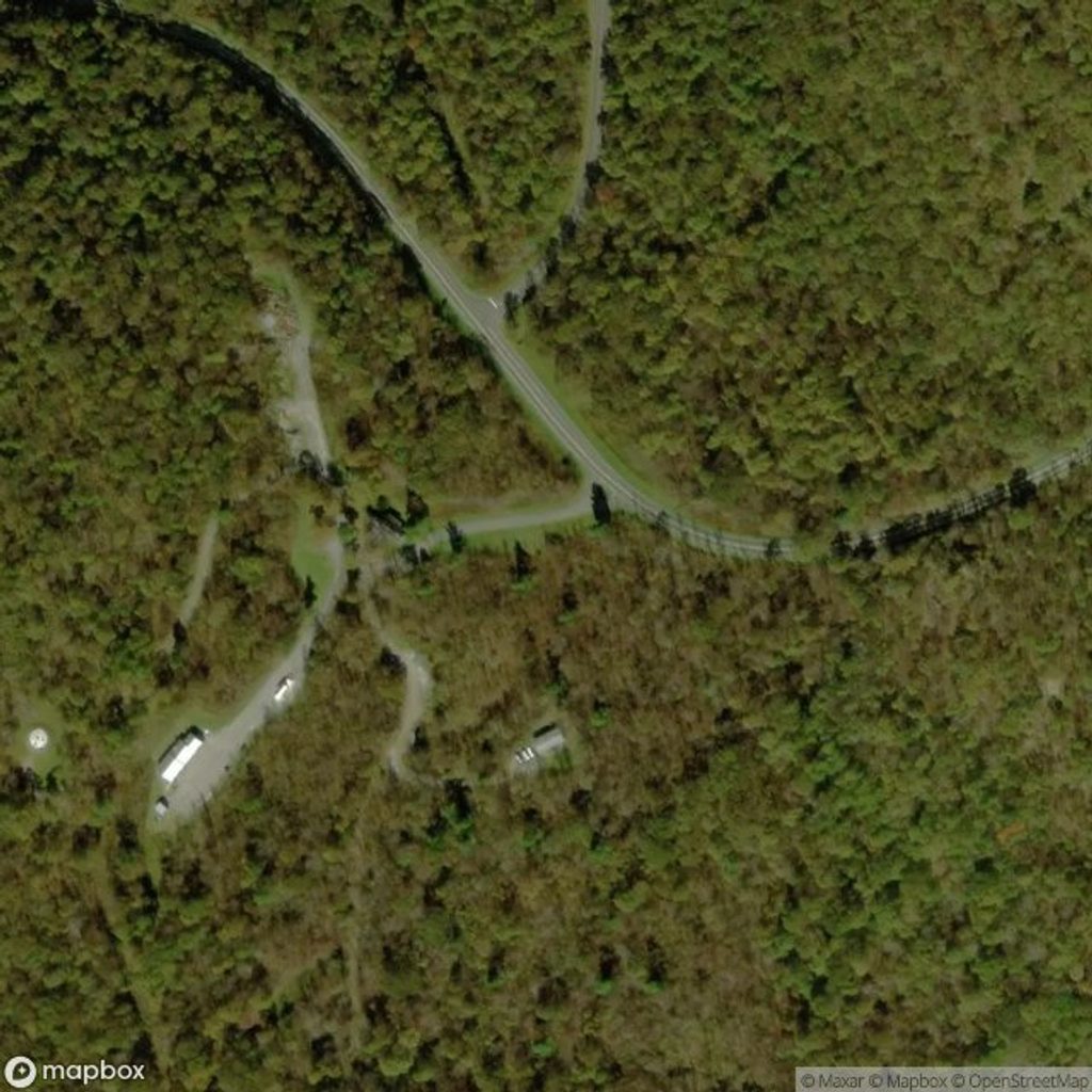
Start at the Piney River Parking Area near milepost 22 on Skyline Drive. The loop stitches together the Piney Branch Upper Trail, Pole Bridge Link Trail, Sugarloaf Trail, and a short segment of the Appalachian Trail to close the circuit. You will cross Skyline Drive twice—be alert at both road crossings. Because there are several junctions, have a downloaded map and pay attention to signs, especially where the route meets the AT.
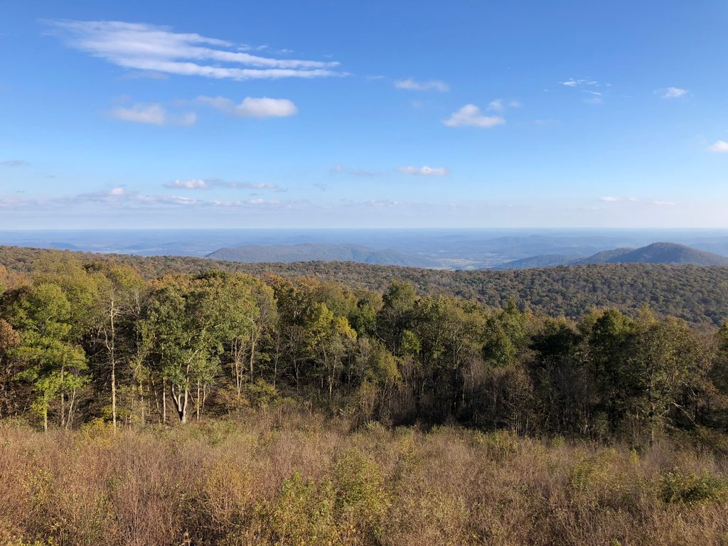
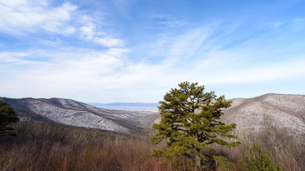
This is classic Blue Ridge woodland: mature trees, rugged ridges, and rocky outcrops. Spring brings a mix of wildflowers; early summer lights up the mountain laurel with showy white blooms. Small brooks (often mossy) add a tranquil soundtrack, and modest rock outcrops offer “pocket” views toward the Luray Valley—nice for a snack, but not the park’s grandest panoramas. The Piney River area also carries CCC-era history from the 1930s. Wildlife sightings can include deer, birds, and the occasional black bear.
Spring and early summer shine (wildflowers, laurel). Fall adds color and cooler temps for comfortable miles. Winter is doable for experienced hikers; leaf-off can open up longer views, but expect cold and possible icy patches. Weekdays are best for solitude. Start mid-morning for warmer temps on cooler days, or early for cooler temps in summer.
Piney River Parking Area on Skyline Drive near milepost 22; arrive early on peak days as spaces can be limited.
You’ll cross Skyline Drive twice—watch for traffic. Several junctions require attention; download a map. Rocks and roots can be slick after rain. Streams are unreliable for water—treat if used.
Place · 0.3 mi away
Place · 0.8 mi away
Place · 1.1 mi away
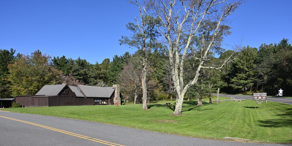
Place · 1.2 mi away
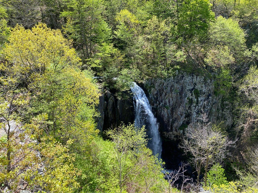
Challenging · 0.9 mi away
Challenging · 0.9 mi away
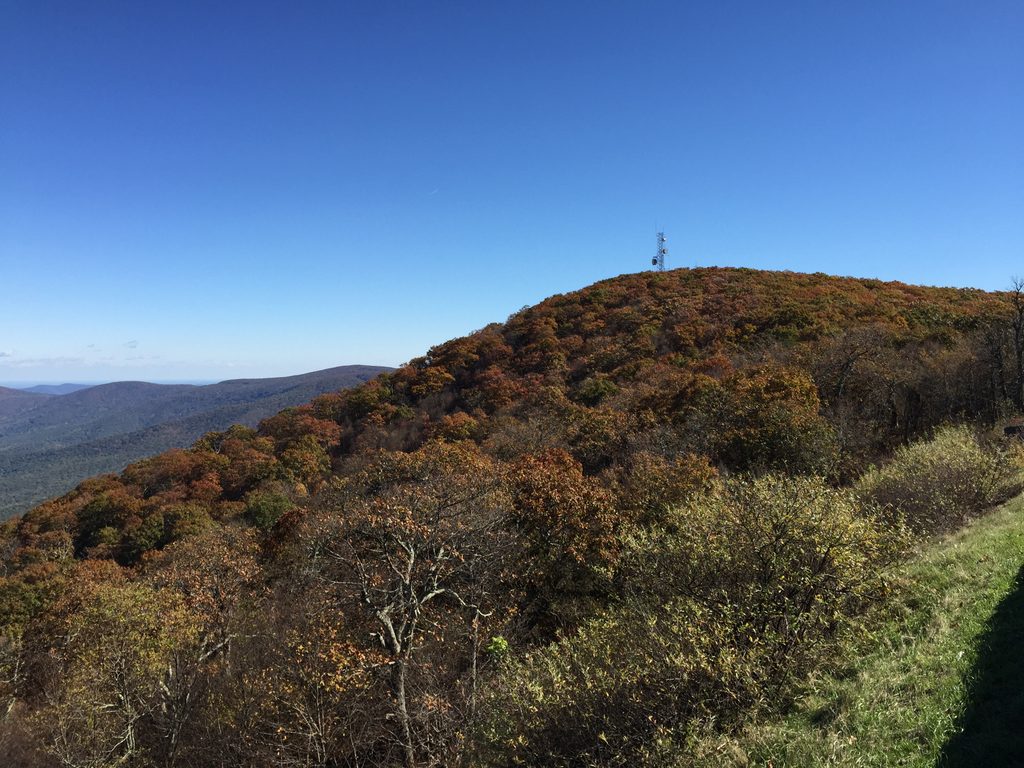
Moderate · 1.1 mi away
Challenging · 1.2 mi away

Parkwolf Tour Guide
