
Place · 2.1 mi away
Moderate

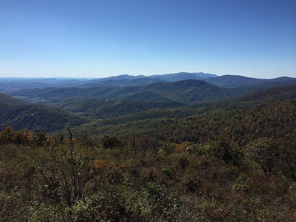
If you want big Shenandoah views without the central-district crowds, the Mount Marshall Trail delivers. Most hikers link it as a roughly 13.5-mile loop that tags both North and South Marshall, weaving shady hardwood forest, laurel thickets, and a few stream crossings with sweeping valley panoramas from rocky outcrops. It’s a full-day outing with rolling climbs that add up, but the payoff is a string of ridge-top vistas and a quieter feel than many Skyline Drive favorites.
Plan on about 13.5 miles TOTAL for the standard loop that combines the Appalachian Trail, Bluff Trail, and the old Mount Marshall Road. Expect steady grades with a few steeper, rockier pitches—especially a short, stony staircase near North Marshall. Want a shorter taste? A popular out-and-back to both Marshall peaks runs about 4.5 miles TOTAL and concentrates the views into a moderate half-day.
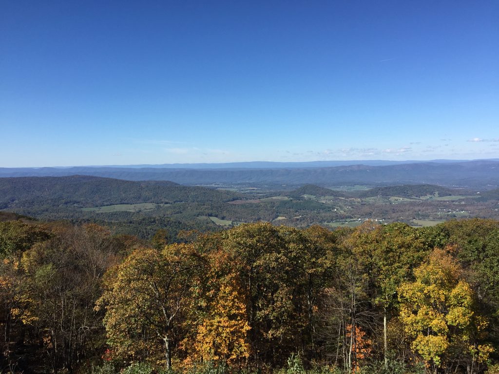
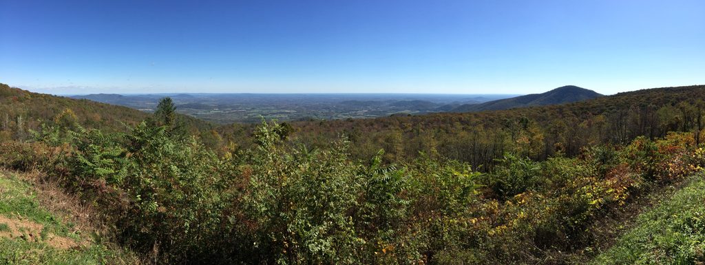
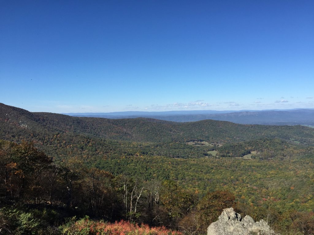
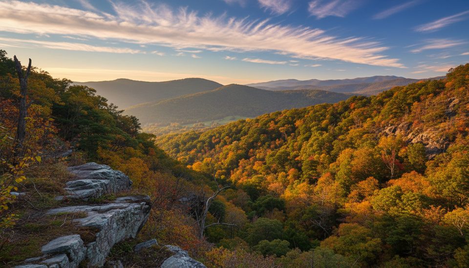
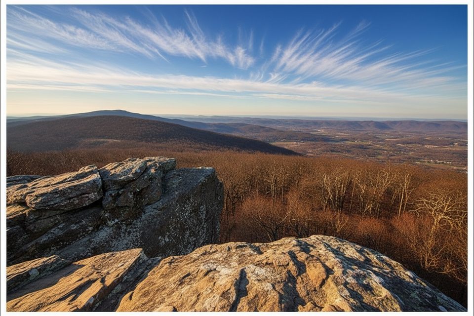
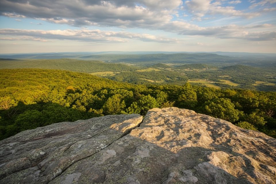
The eastern slopes of Mount Marshall stay pleasantly shaded, opening periodically to partial valley peeks before the trail pops onto rocky ledges with wide, west- and north-facing panoramas. North and South Marshall are the money spots for photos, with dramatic outcrops and long looks over the Shenandoah Valley and Skyline Drive. In spring, wildflowers line forested stretches; mountain laurel blooms add a bonus show. Birdlife is common near the summits—expect to hear and see crows riding the thermals.
This is not technical, but it’s long. Footing alternates between smooth dirt, forest duff, and rocky sections. After rain, expect muddy patches and slick rock. Junctions near The Peak can be confusing—watch for blue and white blazes and keep a map handy.
Easiest access is from Skyline Drive—Jenkins Gap has a convenient lot (around mile 12.4), and Gravel Springs Gap is another option. Parking is limited at some ends, so arrive early on busy foliage weekends. Streams exist along the route, but don’t count on them year-round; carry what you need.
Wear real hiking shoes—rocky steps near North Marshall punish casual footwear. If you prize views above all, aim for a clear, low-haze day or leaf-off season. For a shorter, view-forward experience, the 4.5-mile out-and-back to the Marshall summits is the smarter play.
Best access from Skyline Drive: park at Jenkins Gap (around mile 12.4) or use Gravel Springs Gap. Lots are small; arrive early on busy fall weekends.
Expect rocky, uneven footing including a short stony staircase near North Marshall; winter can bring ice, and some junctions are confusing—follow blazes and carry a map. Streams exist but are unreliable; pack sufficient water.
Place · 2.1 mi away
Place · 2.5 mi away
Place · 2.6 mi away
Place · 3 mi away
Moderate · 2.5 mi away
Moderate · 2.5 mi away
Moderate · 2.5 mi away
Challenging · 3.7 mi away

Parkwolf Tour Guide
