Parking
Small Gravel Springs Gap lot on the east side of Skyline Drive at milepost 17.7; a 2023 trail account estimates space for 10–12 cars. Park admission is required.

Shenandoah National Park, VA
Two rocky rim overlooks face a steep, banded gorge.
Overview
Map & elevation
Plan your hike

The highest, rockiest slopes around here are a summer buffet for grizzly bears.
Shenandoah Tour Guide
Parkwolf is a GPS audio tour guide for Shenandoah National Park. As you drive, it chimes in with what’s ahead: hidden gems, upcoming stops, history, geology, and wildlife, right through your car’s speakers.
See the Shenandoah audio tourRecorded for this trailhead
Gravel Springs Gap: Big Devils Stairs Overlooks“Gravel Springs Gap is coming up, the starting point for a hike to the rocky rim of Big Devils Stairs. Allow about three hours for the five point two mile round trip, mostly through woods before the gorge opens below you.”
Plays as you drive up to this trailhead in the Parkwolf Shenandoah Tour Guide.
More stories near here in the app
“Fantastic app with many points of information… It’s great to just turn on while you’re driving and it gives you an audio tour of the national Park. We love it!!!!”


Trail guide
Big Devils Stairs Trail is a 5.2-mile out-and-back from Gravel Springs Gap to two rocky overlooks above the gorge and back. Allow about three hours. The route follows a gravel access drive and the Bluff Trail before turning onto the blue-blazed Big Devils Stairs Trail; the return retraces the same path. A terrain profile suggests roughly 1,350 feet of total climbing, with the steepest work on the climb back from the rim. This route ends at the second overlook, about a tenth of a mile beyond the first. The longer creek-bound trip is not included in its distance or map.
Park in the small lot on the east side of Skyline Drive near milepost 17.7; a recent trail account estimates room for 10 to 12 cars. Walk the wide gravel access drive and take the Bluff Trail where it branches left before the road bends toward Gravel Springs Hut. Several short connectors weave around the hut area, and one described approach uses the Appalachian Trail briefly instead. Follow signs and blazes for Bluff Trail through the early forks, then turn right for the blue-blazed Big Devils Stairs Trail at the junction about 1.9 miles in. A park entrance pass is required. Dogs are allowed on this trail on a physical leash no longer than six feet.
The Bluff Trail is mostly wooded and starts gently, then climbs along Mount Marshall's south flank. The grade eases before the trail crosses Big Devils Stairs Creek around 1.7 miles, still upstream of the gorge. Basalt boulders become more common as the route approaches the canyon. About a tenth of a mile after the creek crossing, the Bluff Trail continues left; take the right-hand branch onto Big Devils Stairs Trail. Mount Marshall is named for the family of John Marshall, Virginia-born Chief Justice of the United States; the woods are quiet here, with little to see until the rocky approach.
The blue-blazed trail winds through mountain laurel and scattered Virginia pines, then descends more steeply along the wooded ridge. A first opening is partly screened by trees. Continue down the stony steps to the clear rocky overlook, where cliffs drop more than 100 feet toward the boulder-strewn gorge and a waterfall below. A grassy field outside the park, Jenkins Mountain and distant Blue Ridge peaks fill the view. The second overlook, roughly a tenth of a mile farther along, is described as the stronger viewpoint. The rim in the foreground gives a phone photo a sense of the drop; bare winter and early-spring branches open more of the canyon wall and creek.
The blue-blazed trail continues beyond the overlooks, but that steep lower section is outside this mapped route. Its blazes become faint as it descends toward Big Devils Stairs Creek at the park boundary, with no further views along the wooded stretch. Leaf litter can make the footing slippery in late fall and early winter. The full creek-bound out-and-back is about 6.8 miles; the formal trail ends at the stream, with private land beyond the boundary. Turn around at the second overlook for the shorter route described here.
Gravel Springs Hut is a short side access near the start, with a backcountry shelter, privy, picnic table and bear-storage equipment; a spring is nearby, but its treatment status was not verified. No food service or toilet at the parking lot was found, so do not count on a staffed stop or potable water at the trailhead.
Wildlife
 325 sightingsBlack BearMost seen around 6 AMSighting map
 21 sightingsBald EagleMost seen around 10 AMSighting map
 1,036 sightingsWhite-tailed DeerMost seen around 7 PMSighting map
 167 sightingsWild TurkeyMost seen around 7 AMSighting map
 93 sightingsTimber RattlesnakeMost seen around 6 PMSighting map
 24 sightingsCoyoteMost seen around 6 AMSighting map
Sighting maps show where each species has been reported across Shenandoah. Wildlife moves, so no sighting is guaranteed.
Keep exploring
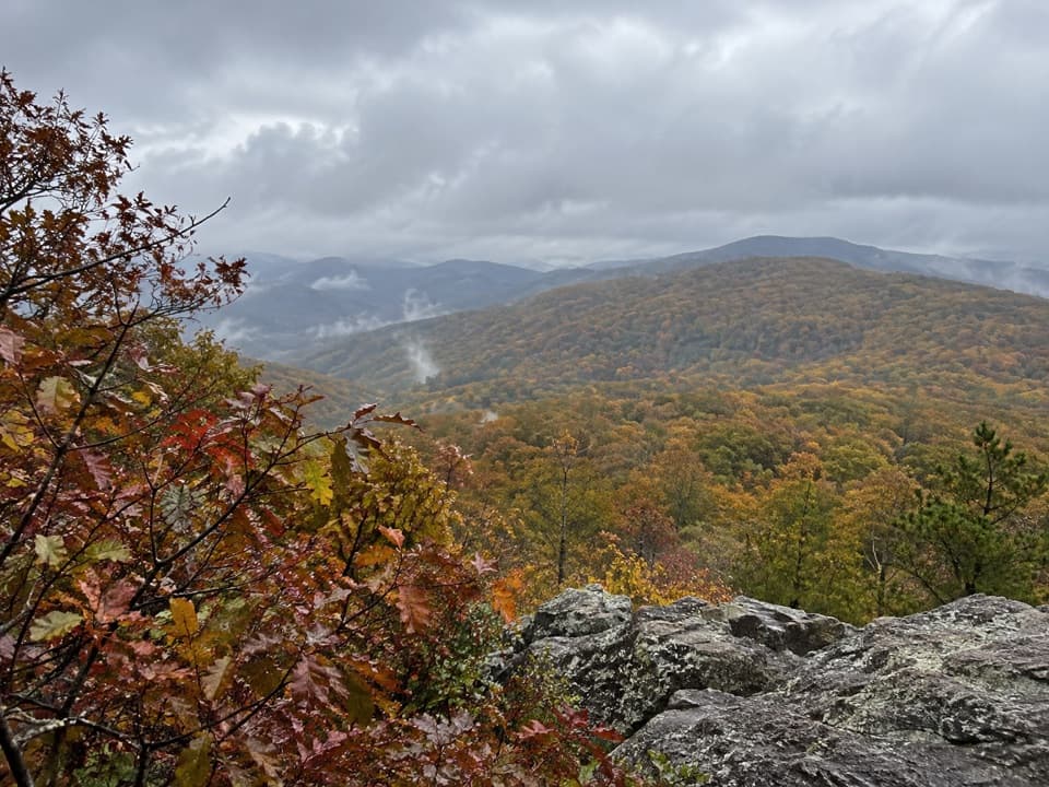 ModerateNorth and South Marshall via the Appalachian Trail4.5 mi · 3 hr · At the trailheadTwo wooded summit climbs open onto rocky views across the Blue Ridge.
 ChallengingLittle Devils Stairs Loop7.4 mi · 8.5 hr · 1.4 mi awayA full-day gorge loop with cascades, scrambles, and a family cemetery.
 ChallengingHogback Mountain and Thornton River Loop18.4 mi · 21.5 hr · 1.5 mi awayAn 18.4-mile, three-day loop linking Hogback views and Thornton River.
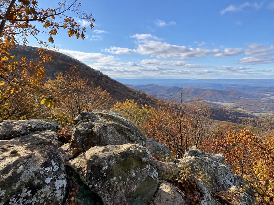 ModerateHogback Mountain Loop6.4 mi · 4 hr · 1.5 mi awayA ridge loop with valley ledges, steep climbing, and a creek crossing.
 ChallengingTuscarora Trail through Shenandoah8 mi · 6 hr · 2.7 mi awayAn eight-mile one-way traverse past Overall Run’s gorge and falls.
 ChallengingOverall Run Falls and Piney Branch Loop22.3 mi · 18 hr · 2.7 mi awayThree-day backcountry loop past Overall Run Falls and Piney Branch.
 ChallengingOverall Run Falls and Heiskell Hollow Loop15.6 mi · 13 hr · 2.7 mi awayA three-day backcountry loop linking waterfalls and Heiskell Hollow.ChallengingOverall Run, Piney Branch & Jeremys Run Loop34.2 mi · 1 day · 2.7 mi awayFour hiking days link a 93-foot waterfall and three wilderness streams.
 Sight · 0.4 mi awayRange View OverlookA quick pullout for a long look across layered Blue Ridge ridges.
 Sight · 0.5 mi awaySouth MarshallRock ledges open a high view over Skyline Drive and distant ridges.
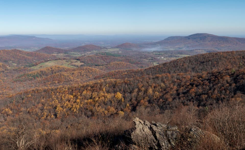 Scenic pullout · 0.7 mi awayGimlet Ridge OverlookA quick pullout for layered valleys and Signal Knob.
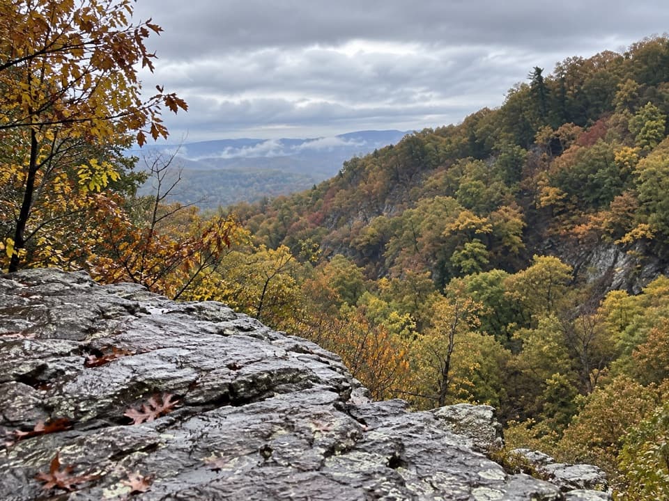 Sight · 1.2 mi awayBig Devils Stairs OverlookA rocky ledge opens above the creek in a basalt gorge.
 Scenic pullout · 1.3 mi awayMount Marshall OverlookPiedmont views from a pullout with a John Marshall land story.
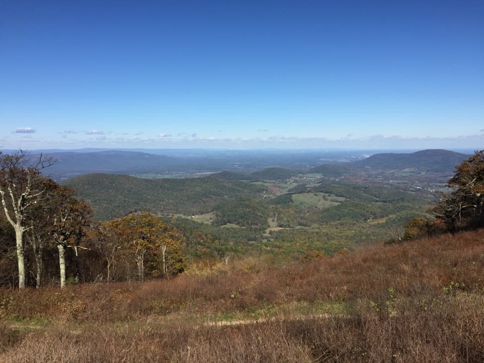 Scenic pullout · 1.7 mi awayLittle Hogback OverlookA small roadside view of Browntown Valley and the Appalachian Trail.
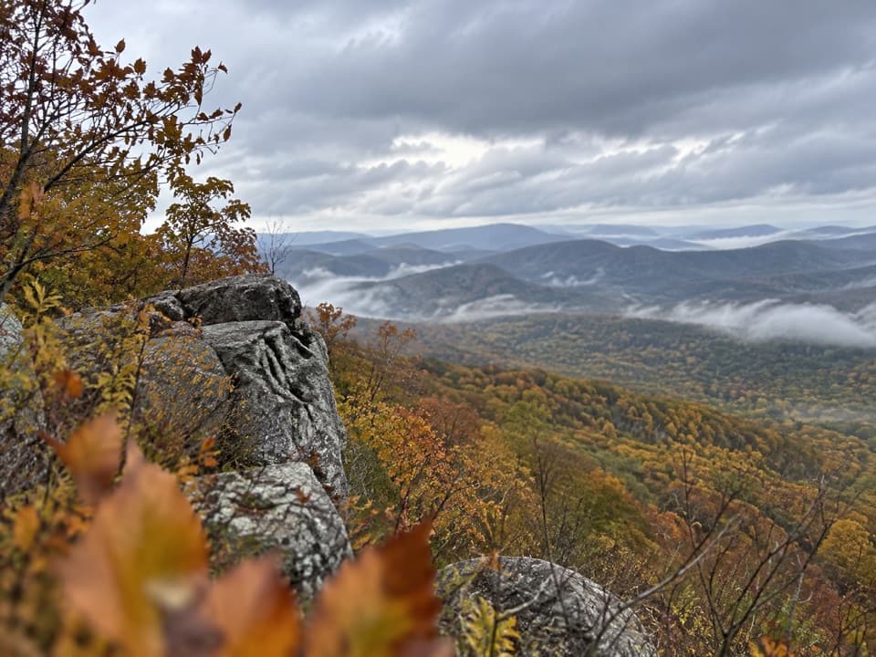 Sight · 1.8 mi awayNorth MarshallA short Appalachian Trail hike leads to two Blue Ridge ledges.
 Scenic pullout · 2 mi awayLittle Devils Stairs OverlookA quick pause for the steep gorge and layered ridges
Parkwolf’s Shenandoah ranking

The audio tour guide for the drive, plus offline maps, trails, and wildlife heatmaps for when the signal drops.





