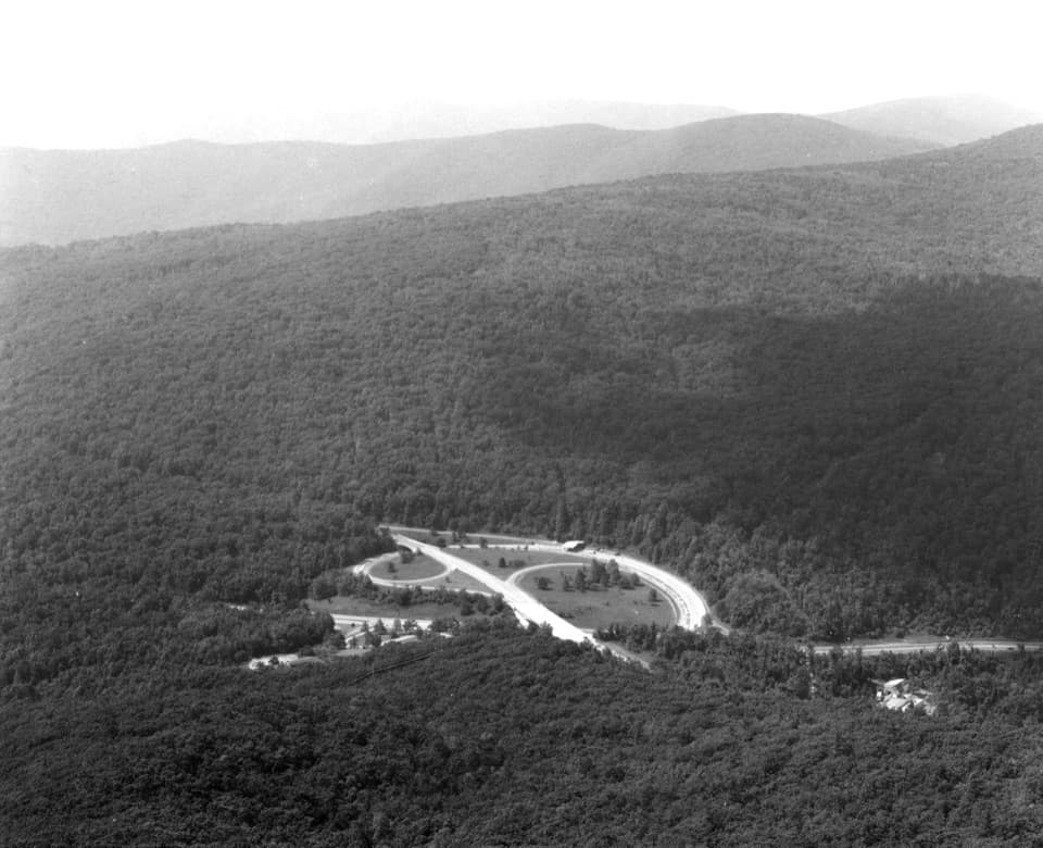
Hogwallow Flats Overlook in Shenandoah National Park

Scenic pullout · Shenandoah National Park

Hogwallow Flats Overlook

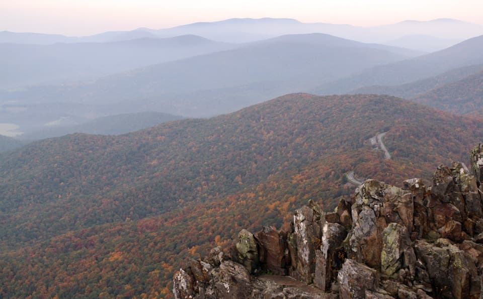
A southeast valley view that draws visitors at sunrise.

Photo: Wikimedia Commons
Type
Scenic pullout
Nearest trail
1 mi
Audio stories
4 nearby
  • Pullout
  • Scenic viewpoint
  • Exhibit

Hear the audio tour

Grandma Gatewood's Long Walk

Overview

About Hogwallow Flats Overlook

Why stop

  • A broad southeast view with Flint Hill and farmland in the distance.

Heads up

  • A modest stop if you have already seen several Skyline Drive overlooks.

Map

Where it is

Loading the Shenandoah map
Full map
Scenic pulloutHogwallow Flats Overlook38.79352, -78.18210
Keep this map with you offline in the Parkwolf app

Plan your stop

Before you go

2 active Shenandoah alerts

  • ClosureOld Rag Trailhead main lot closedThe Old Rag Trailhead main parking lot is closed to vehicles and pedestrians for infrastructure improvements; use the existing overflow lots. - Work is expected to be completed by November 2026.Official details
  • ClosureBackcountry camping and zone closuresBackcountry camping is prohibited on the Appalachian Trail from Lewis Mountain to Big Meadows, and the Naked Creek backcountry zone is closed.Official details

Shenandoah alerts
A park ranger sits on a dash-mounted phone, talking, as Parkwolf’s Tour Guide plays “Army Cutworm Moths: A Grizzly Bear Buffet” on Grand Loop Road below Dunraven Pass in Yellowstone
Parkwolf Tour GuideThe highest, rockiest slopes around here are a summer buffet for grizzly bears.

Shenandoah Tour Guide

Your drive to Hogwallow Flats Overlook, narrated.

Parkwolf is a GPS audio tour guide for Shenandoah National Park. As you drive, it chimes in with what’s ahead: hidden gems, upcoming stops, history, geology, and wildlife, right through your car’s speakers.

See the Shenandoah audio tour

Recorded for this area

Grandma Gatewood's Long Walk
0:00 / 0:30
“In nineteen fifty-five, sixty-seven-year-old Emma Gatewood set out to walk the Appalachian Trail from Georgia to Maine.”

Plays near Hogwallow Flats Overlook in the Parkwolf Shenandoah Tour Guide.

More stories near here in the app

  • Flowers Before the Leaves
  • Browntown Valley Overlook: A Village Built Around Mills
  • When Continents Built the Mountains
  • Indian Run Overlook: A Stream-Carved Hollow
  • 146 audio storiesacross Shenandoah’s roads, triggered by GPS as you drive
  • Wildlife heatmapsfor Black Bear, Bald Eagle, White-tailed Deer, and 13 more
  • Works offlinemaps, 163 trails, 142 places, and audio download before you lose signal
  • CarPlay readysimple controls built for the drive
★★★★★
“Fantastic app with many points of information… It’s great to just turn on while you’re driving and it gives you an audio tour of the national Park. We love it!!!!”
JMJamesApp Store review
Download Parkwolf on the App StoreGet Parkwolf on Google Play

4.7 from 8,600+ ratings

Guide

More about Hogwallow Flats Overlook

A quick stop with a wide viewHogwallow Flats Overlook is a roadside stop on Skyline Drive at 2,665 feet, facing southeast…

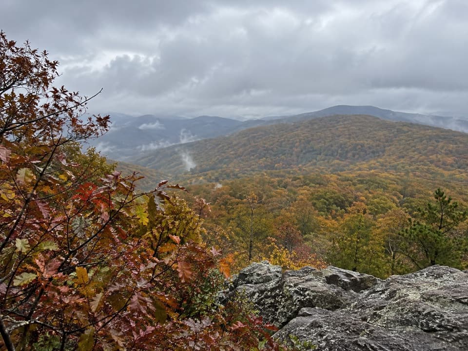
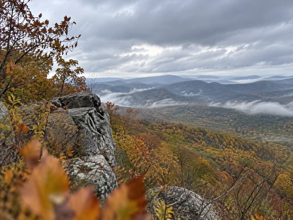
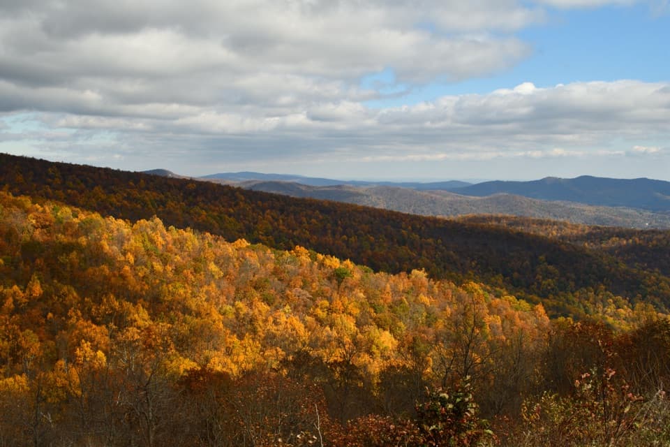
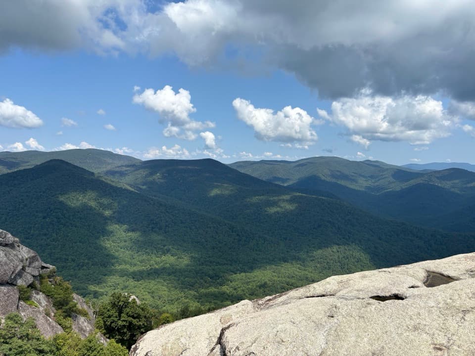
Hogwallow Flats Overlook is a roadside stop on Skyline Drive at 2,665 feet, facing southeast over Rappahannock County toward Flint Hill. It gives you a broad look from the Blue Ridge into the Piedmont. Worth a few minutes if you're already driving this stretch, especially around sunrise, which visitors often recommend. If you're choosing only a handful of stops, think of this as a pleasant extra rather than a headline summit or waterfall.

What to look forThe lower country is a patchwork of farms and low hills beneath the Blue Ridge.

The lower country is a patchwork of farms and low hills beneath the Blue Ridge. An interpretive panel adds local wildlife and topography context. For a photo, keep some of the fields in the lower part of the frame and the distant ridges behind them; those layers show the distance. Low cloud can hide the view, though some visitors enjoy the softer, foggy look.

Flint Hill and the tobacco yearsFlint Hill below the overlook was founded in 1836.

Flint Hill below the overlook was founded in 1836. Tobacco production helped it prosper in the 1840s and 1850s, relying on enslaved African American labor. Later, rail service through nearby Wentzville shifted the trade and production slowed. That history gives the cultivated valley below a deeper story than the view first suggests.

Finding the overlookThe stop is directly on Skyline Drive.

The stop is directly on Skyline Drive. Published mile markers conflict, so use the map location instead of relying on a single mile number.

Wildlife

Wildlife in Shenandoah

All Shenandoah wildlife maps

Sighting maps show where each species has been reported across Shenandoah. Wildlife moves, so no sighting is guaranteed.

Keep exploring

Near Hogwallow Flats Overlook

See it all on the map

Trails nearby

More stops nearby

Parkwolf’s Shenandoah ranking

Top sights in Shenandoah

All 142 places
  1. 1Old Rag MountainSight
  2. 2Big MeadowsSight
  3. 3Hawksbill SummitSight
  4. 4Stony Man SummitSight
  5. 5Dark Hollow FallsSight
  6. 6Marys RockSight

Take Parkwolf to Shenandoah.

The audio tour guide for the drive, plus offline maps, trails, and wildlife heatmaps for when the signal drops.

4.7 from 8,600+ ratings

Download Parkwolf on the App StoreGet Parkwolf on Google Play