Parking
Start at Keyser Run Parking Area on Skyline Drive at milepost 19.4. The shorter boundary-start route begins at a separate lot beside the blue-blazed trail and is not the full 7.4-mile circuit.

Shenandoah National Park, VA
A full-day gorge loop with cascades, scrambles, and a family cemetery.
Overview
Little Devils Stairs Loop is a 7.4-mile circuit from Keyser Run Parking Area on Skyline Drive at milepost 19.4. The park's route map gives 8½ hours and 1,897 feet of climbing, and rates it strenuous. It is a full-day route for hikers who are comfortable moving slowly over steep, rocky ground. You get a shaded gorge, a succession of cascades and a change of pace on a long fire-road return. The shorter 5.3–6-mile loops reported elsewhere start at the separate boundary lot beside the blue-blazed trail; they omit the long Keyser Run Fire Road approach in this circuit.
 Parkwolf’s verdictIs this the hike for you?
Map & elevation
Plan your hike

The highest, rockiest slopes around here are a summer buffet for grizzly bears.
Shenandoah Tour Guide
Parkwolf is a GPS audio tour guide for Shenandoah National Park. As you drive, it chimes in with what’s ahead: hidden gems, upcoming stops, history, geology, and wildlife, right through your car’s speakers.
See the Shenandoah audio tourRecorded for this trailhead
Keyser Run: A Full Day at Little Devils Stairs“Up ahead is Keyser Run Parking, the Skyline Drive starting point for Little Devils Stairs. This seven point four mile loop takes about eight and a half hours, so choose it for a full hiking day.”
Plays as you drive up to this trailhead in the Parkwolf Shenandoah Tour Guide.
More stories near here in the app
“Fantastic app with many points of information… It’s great to just turn on while you’re driving and it gives you an audio tour of the national Park. We love it!!!!”


Trail guide
From the Skyline parking area, take the yellow-blazed Keyser Run Fire Road to the boundary parking area. Stay on the marked road and respect private property; at the boundary lot, pick up the blue-blazed Little Devils Stairs Trail. It climbs along Keyser Run until it meets the fire road again. Turn right there and follow the road back to the Skyline lot. The full Skyline-start loop includes more fire-road walking than the shorter boundary-start versions.
The blue-blazed trail follows Keyser Run beneath forest shade. Its early grade is gentler, then steepens through rough boulder steps, uneven rock and hands-on scrambling. You cross the stream repeatedly; reports disagree on the count because crossings and the easiest line change with flow. Water and wet rock make footing more demanding, especially after rain. Expect to watch every step rather than move quickly; most of the climbing is concentrated in this creekside section.
Small falls appear along the gorge, with the largest cascade near its upper end. After the last fall the grade eases as the trail leaves the creek and enters quieter forest. Keyser Run has cut this narrow ravine into the slope; the stream starts below Little Devils Stairs Overlook and eventually flows toward Chesapeake Bay. The cascades against stone are the route's strongest picture stop; include some of the rock wall to show the creek's scale.
The yellow-blazed road is easier underfoot than the gorge but long and less varied. One clearing opens east across the Shenandoah Valley. The route also passes the Bolen family cemetery, a stone-walled enclosure with an iron gate. Shenandoah's creation displaced families from land that became the park; treat the cemetery with respect and stay outside its enclosure. At the nearby Hull School junction, keep to the fire road for this circuit rather than adding a different connector walk.
NPS lists the loop year-round, with no reservation requirement, and allows pets on leashes no longer than six feet. The route is not ADA accessible. The park entrance fee applies even though this hike has no separate activity fee. No on-route food or drinking-water refill was confirmed in the sources checked, so plan to carry water for a full day. Cell and GPS service can be unreliable; keep the route and blaze sequence available offline.
Wildlife
 325 sightingsBlack BearMost seen around 6 AMSighting map
 21 sightingsBald EagleMost seen around 10 AMSighting map
 1,036 sightingsWhite-tailed DeerMost seen around 7 PMSighting map
 167 sightingsWild TurkeyMost seen around 7 AMSighting map
 93 sightingsTimber RattlesnakeMost seen around 6 PMSighting map
 24 sightingsCoyoteMost seen around 6 AMSighting map
Sighting maps show where each species has been reported across Shenandoah. Wildlife moves, so no sighting is guaranteed.
Keep exploring
 ChallengingHogback Mountain and Thornton River Loop18.4 mi · 21.5 hr · At the trailheadAn 18.4-mile, three-day loop linking Hogback views and Thornton River.
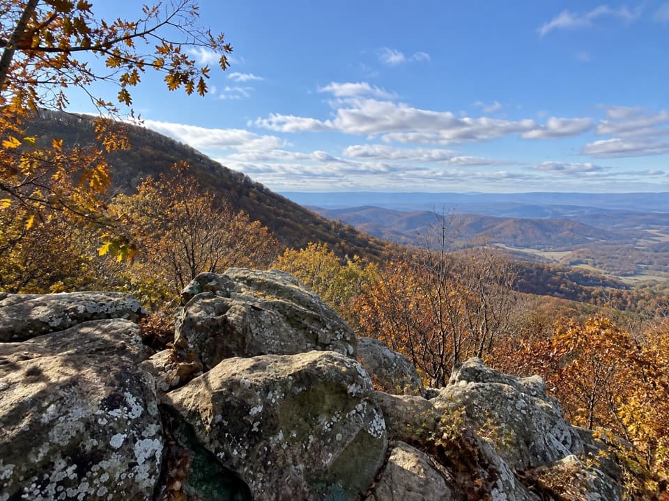 ModerateHogback Mountain Loop6.4 mi · 4 hr · At the trailheadA ridge loop with valley ledges, steep climbing, and a creek crossing.
 ChallengingTuscarora Trail through Shenandoah8 mi · 6 hr · 1.4 mi awayAn eight-mile one-way traverse past Overall Run’s gorge and falls.
 ChallengingOverall Run Falls and Piney Branch Loop22.3 mi · 18 hr · 1.4 mi awayThree-day backcountry loop past Overall Run Falls and Piney Branch.
 ChallengingOverall Run Falls and Heiskell Hollow Loop15.6 mi · 13 hr · 1.4 mi awayA three-day backcountry loop linking waterfalls and Heiskell Hollow.ChallengingOverall Run, Piney Branch & Jeremys Run Loop34.2 mi · 1 day · 1.4 mi awayFour hiking days link a 93-foot waterfall and three wilderness streams.
 ModerateBig Devils Stairs Trail5.2 mi · 3 hr · 1.4 mi awayTwo rocky rim overlooks face a steep, banded gorge.
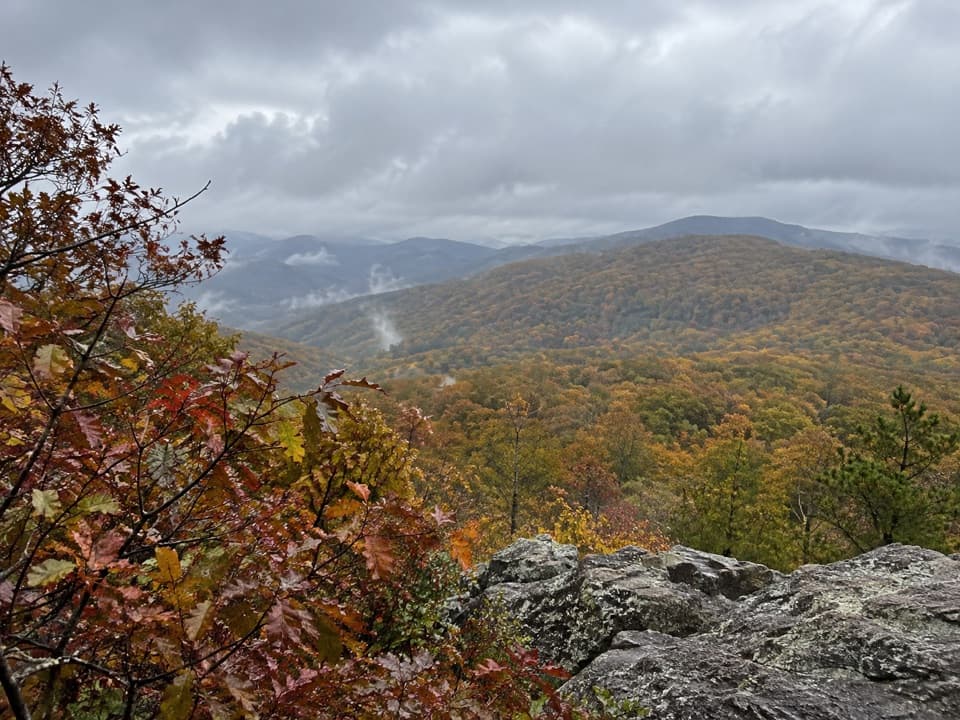 ModerateNorth and South Marshall via the Appalachian Trail4.5 mi · 3 hr · 1.4 mi awayTwo wooded summit climbs open onto rocky views across the Blue Ridge.
 Scenic pullout · 0.3 mi awayMount Marshall OverlookPiedmont views from a pullout with a John Marshall land story.
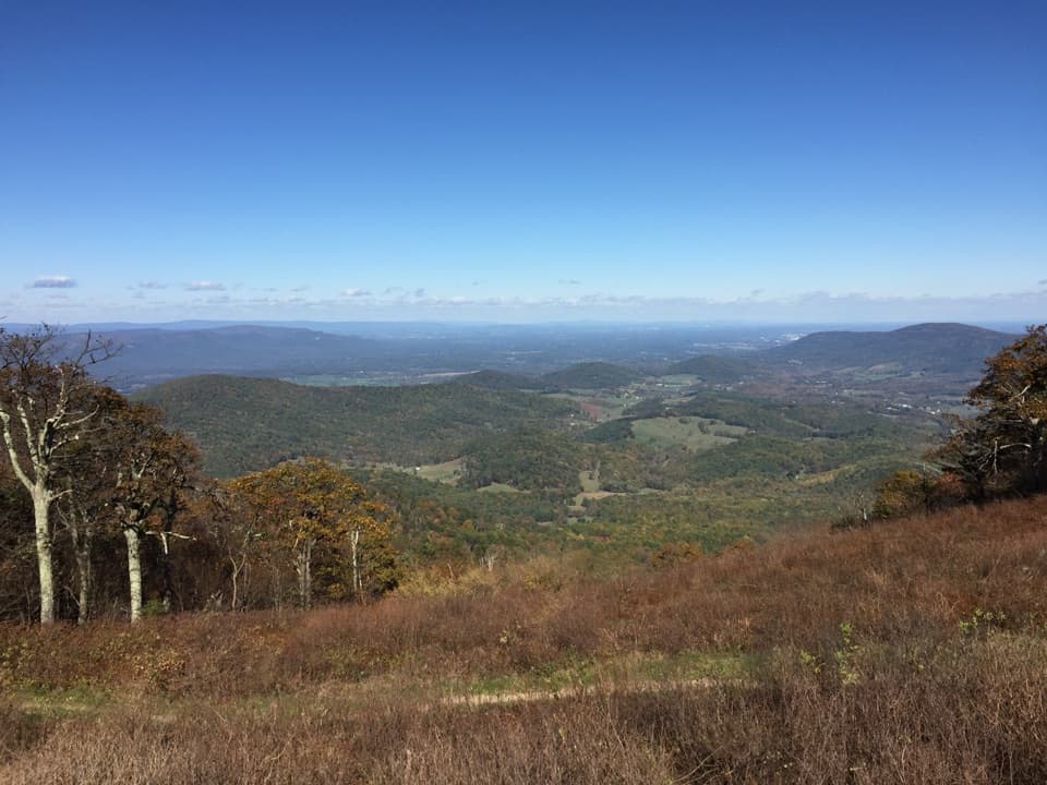 Scenic pullout · 0.3 mi awayLittle Hogback OverlookA small roadside view of Browntown Valley and the Appalachian Trail.
 Scenic pullout · 0.6 mi awayLittle Devils Stairs OverlookA quick pause for the steep gorge and layered ridges
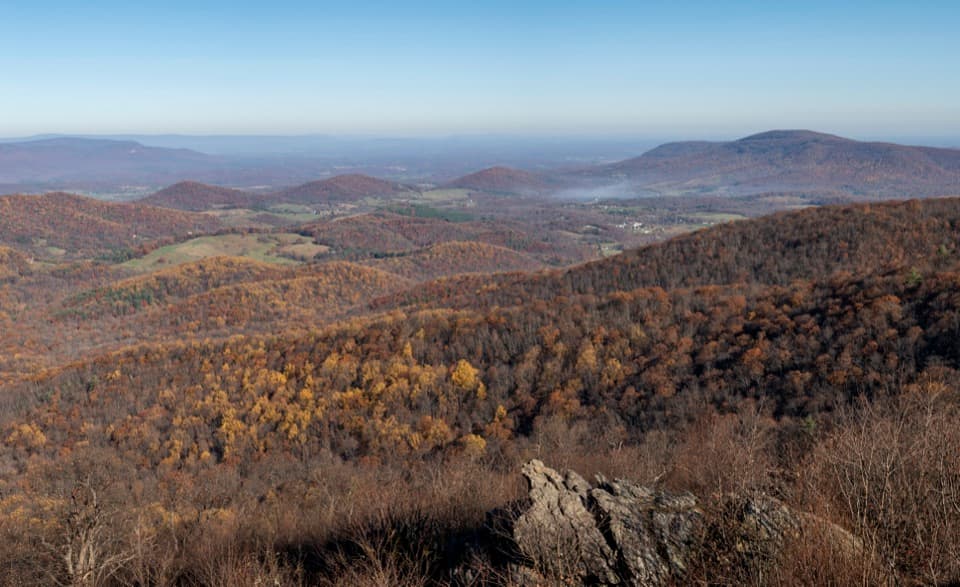 Scenic pullout · 0.7 mi awayGimlet Ridge OverlookA quick pullout for layered valleys and Signal Knob.
 Sight · 1.3 mi awayHogback OverlookLayered ridges lead north toward the Alleghenies on clear days.
 Sight · 1.6 mi awayRange View OverlookA quick pullout for a long look across layered Blue Ridge ridges.
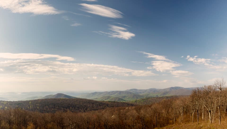 Scenic pullout · 1.8 mi awayRattlesnake Point OverlookPick out six Blue Ridge peaks from a meadow-framed roadside view.
 Sight · 2 mi awaySouth MarshallRock ledges open a high view over Skyline Drive and distant ridges.
Parkwolf’s Shenandoah ranking
The audio tour guide for the drive, plus offline maps, trails, and wildlife heatmaps for when the signal drops.





