Pros & cons
PROS
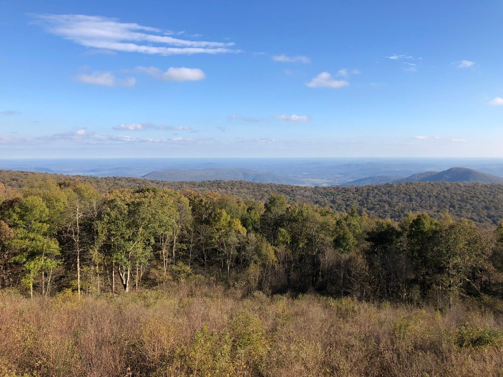
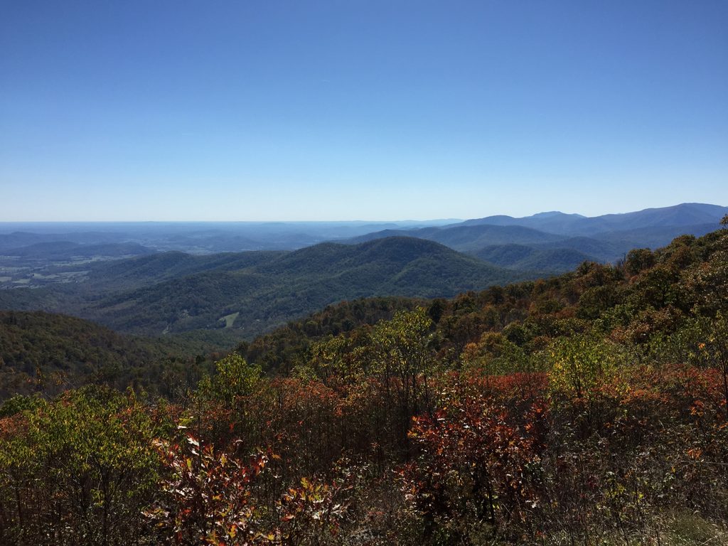
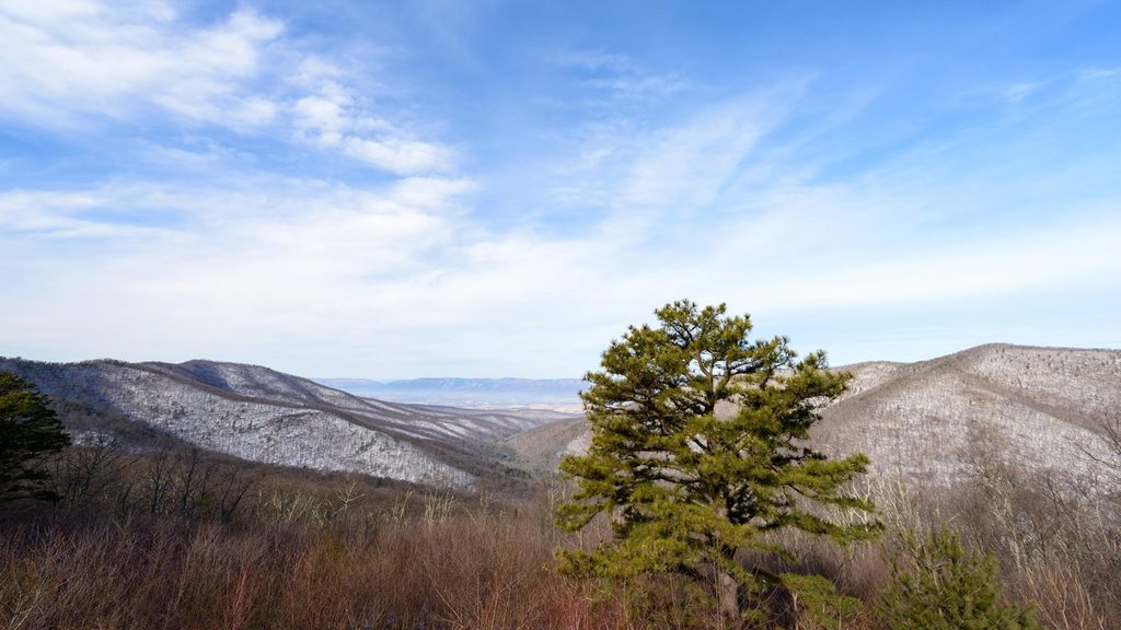
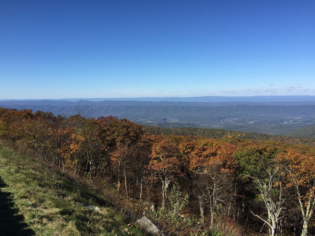
- Multiple overlook perches with sweeping, west-facing gorge views
- Large swimming hole below the falls with a natural slide
CONS
- Sustained climb back from the falls makes the return feel tougher
- Trail turns muddy and slick after rain
- Parking headaches at Thompson Hollow with active tow enforcement
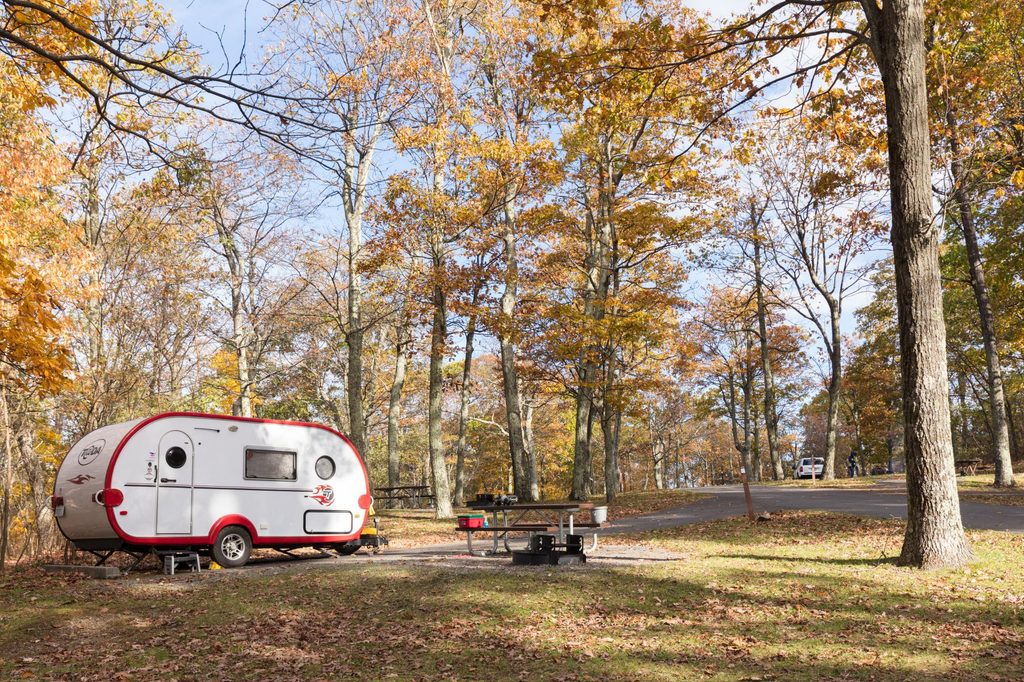
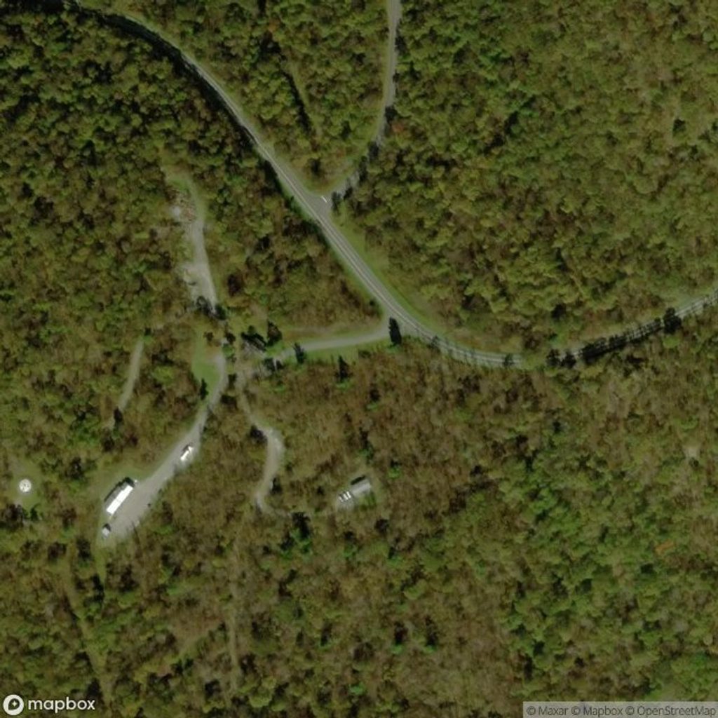
Best inside-park starts are Mathews Arm Campground or the Skyline Drive/Hogback area to reach the Tuscarora–Overall Run Trail. If using Thompson Hollow on the west side, parking is limited—obey all signs to avoid towing.
Steep, rocky footing near the falls; mud and slick rock after rain or in winter. Watch junctions with Mathews Arm, Beecher Ridge, and Tuscarora–Overall Run. The swimming-hole side path is easy to miss. Tow enforcement reported at Thompson Hollow.
Why hike it
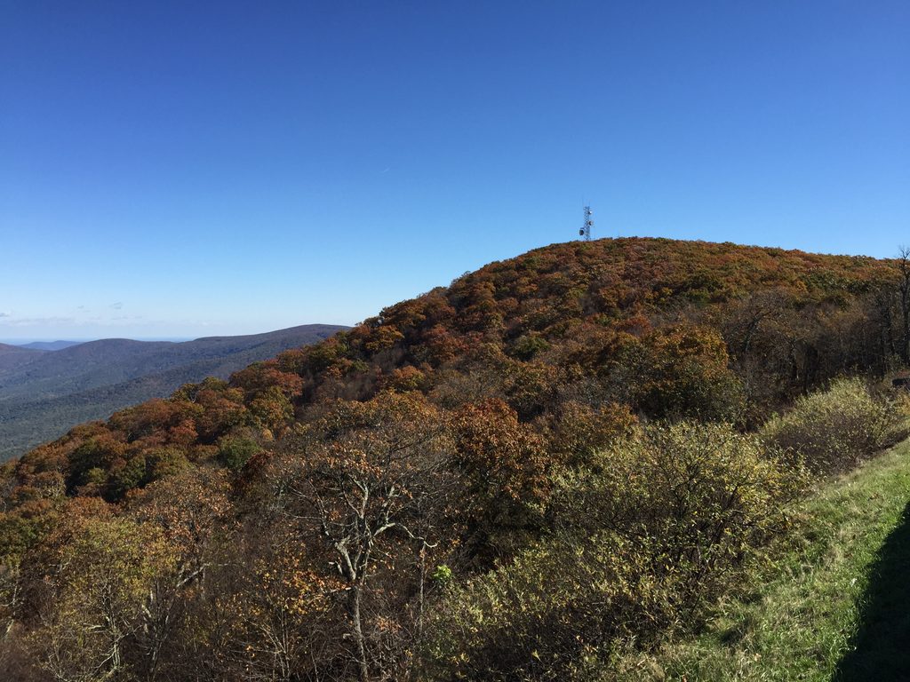
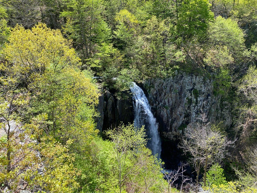
Overall Run is a waterfall-and-gorge classic anchored by Overall Run Falls—the park’s tallest drop at 93 feet. Expect sweeping, west-facing overlooks, cascades and pools along the creek, and a real workout getting in and out of the canyon. It’s gorgeous when water is up and far less crowded than the park’s headline circuits.
Distance and difficulty
The most common circuit is about 8.8 miles total (lollipop-style), with roughly 2,000 feet of climbing—plan on 5–6 hours. Shorter options exist if you only want the falls view via the Mathews Arm side, but the loop gives you the fuller experience of cascades, pools, and ridge walking. Terrain is dirt and rock with steep, sometimes rough sections near the falls.
What you’ll see
- Overall Run Falls (93 feet), with several perches for big gorge and valley views.
- Multiple cascades and pools along the Tuscarora–Overall Run corridor, including a large summer-friendly swimming hole below the falls reached by a side path.
- Mature forest, streamside stretches, and occasional meadows. Keep an eye out for greenstone bedrock (metamorphosed basalt) shaping the falls and canyon.
Route options you can trust
- Full loop (about 8.8 miles): Uses the Overall Run, Beecher Ridge, and Tuscarora–Overall Run segments. This is the sweet spot for scenery versus effort.
- Falls-focused out-and-back from the Mathews Arm/Hogback area: Follow Tuscarora–Overall Run to the designated falls viewpoint and retrace your steps. Shorter, still strenuous.
Season and timing
- Spring is prime for flow and wildflowers. After heavy rain, the falls roar (and the trail gets muddy).
- Summer brings bugs and overgrowth in spots, but the swimming hole shines. Bring repellent.
- Fall and winter open up long views as leaves drop; winter can be icy on shaded rock.
Aim for early starts on weekends, and consider late afternoon for warm, west-facing light at the overlooks.
Logistics and tips
- Parking: Inside the park, start from Mathews Arm Campground (when open) or the Skyline Drive/Hogback area to reach the Tuscarora–Overall Run Trail. An outside-the-park approach from Thompson Hollow exists, but parking there is limited and reviewers report tow-away enforcement—heed all signs.
- Navigation: Trails are well marked, but pay attention at junctions with Mathews Arm, Beecher Ridge, and the Tuscarora–Overall Run segment.
- Footing: Expect rocky, slick sections near the falls; traction matters after rain. Bring plenty of water and sturdy footwear. In summer, pack insect repellent.
Wildlife
Deer and black bears are at home here, and the corridor is good for birdwatching. Snakes are possible on the warmer, less-trafficked stretches—watch your step.
Elevation
8.8 mi · 5.5 hrWhere it starts
38.7613, -78.2822Wildlife on this trail
Near Overall Run Trail
All places →All trails →
0.2 mi awayHogback OverlookWide, high overlook with sunrise-to-sunset views and AT accessPullout · Parking
0.2 mi awayHogback Mountain via Appalachian TrailRidgetop AT stroll with big views from Hogback Overlook, flexible distance.Moderate · 2.9 mi · 2 hr
0.6 mi awayTuscarora-Overall Run TrailTallest falls in Shenandoah, big views, bigger climb backChallenging · 5 mi · 3.5 hr
0.8 mi awayRattlesnake Point OverlookQuiet roadside overlook with wide views and dreamy sunsetsPullout · Parking
0.8 mi awayMathews Arm CampgroundShaded north-end basecamp with trail to the park’s tallest waterfallCampground · Restroom
0.8 mi awayLittle Devils Stairs OverlookRoadside stop with a dramatic view into a rugged gorgePullout · Parking
0.9 mi awaySugarloaf Loop TrailQuiet forest loop with laurel blooms and small views off Skyline Drive.Moderate · 5.1 mi · 3 hr
2.1 mi awayJeremys Run TrailShaded creek hike with 14 crossings and backcountry vibes.Challenging · 11.6 mi · 6.5 hr