
Place · 0.2 mi away
Challenging
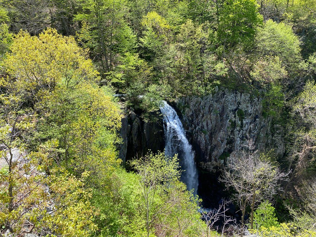
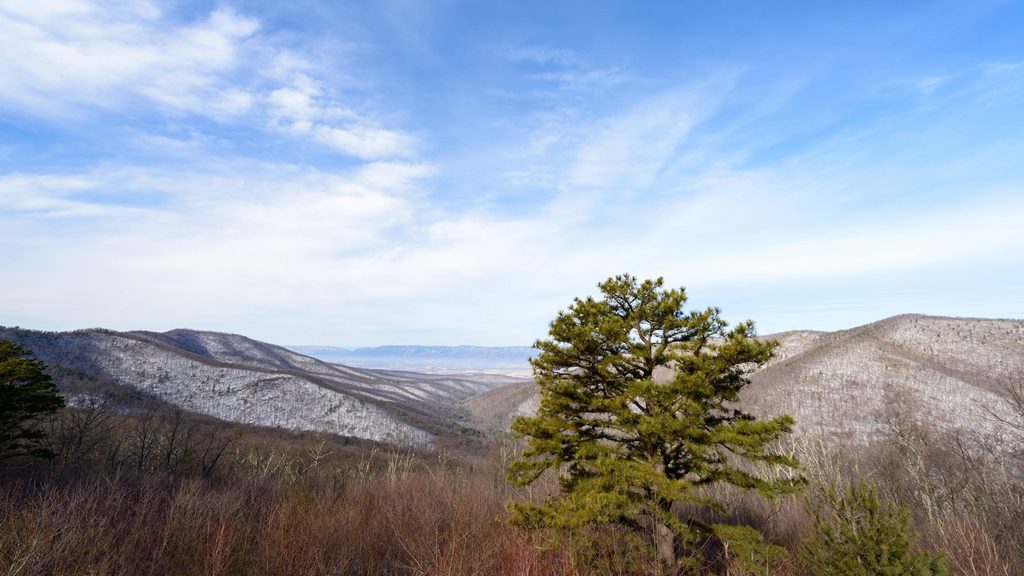
You’re here for Overall Run Falls—the tallest waterfall in the park at 93 feet—and the sweeping Shenandoah Valley vistas above its gorge. Add in a quiet feel compared to the park’s headline hikes and you’ve got a rewarding, slightly under-the-radar outing.
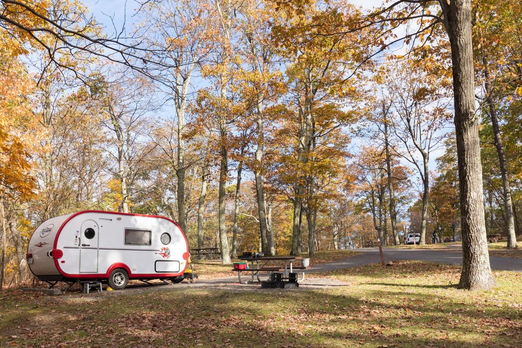
The straightforward way is from Matthews Arm Campground: take Traces Trail 0.6 mile to the blue‑blazed Tuscarora–Overall Run Trail and continue to the main falls overlook at about 2.5 miles one way, then retrace. That’s roughly 5.0 miles total out‑and‑back, with a steady descent out and a real climb back. If the campground is closed, you can park on Skyline Drive near mile 21 and reach the trail via the Appalachian Trail—plan on about a mile added round trip. Ambitious hikers often link this corridor into longer loops with Mathews Arm, Beecher Ridge, and the Overall Run drainage.
Overall Run Falls steals the show, but the approach delivers classic Blue Ridge forest, stream sounds, and (in wet periods) smaller cascades. Rock outcrops along the gorge reveal ancient greenstone—volcanic bedrock that helps create the dramatic drop. Expect spring wildflowers and lush ferns in season, vibrant foliage in fall, and occasional icy formations on the falls in winter. Wildlife sightings can include White‑tailed Deer, Wild Turkey, and American Black Bear.
This hike flips the usual script: you go down first, then earn your views on the return. Grades are moderate to steep, the tread is rocky in places, and it can be muddy after rain. Figure on roughly 1,500–1,900 feet of climbing on the out‑and‑back, and 3–4 hours moving time for most hikers. Poles and sturdy boots pay off, especially near the overlook where rocks get slick.
Spring is prime for waterfall volume and wildflowers. After good rains any time of year, the falls and side cascades shine. In summer dry spells, expect lower flow but still-solid vistas. Fall brings cooler temps and color; winter can be beautiful but icy—microspikes may be smart. Start early on weekends and foliage season for easier parking and softer light at the overlook.
Primary parking at Matthews Arm Campground area near Skyline Drive (mile ~22); when the campground is closed, park near mile 21 on Skyline Drive and reach the trail via the Appalachian Trail connector (adds ~1 mile round trip).
Steep, rocky grades with a sustained uphill on the return; slick rocks and mud near the falls; a few stream crossings; limited cell service; ticks are common in warm months and ice is possible in winter.
Place · 0.2 mi away
Place · 0.7 mi away
Place · 0.8 mi away
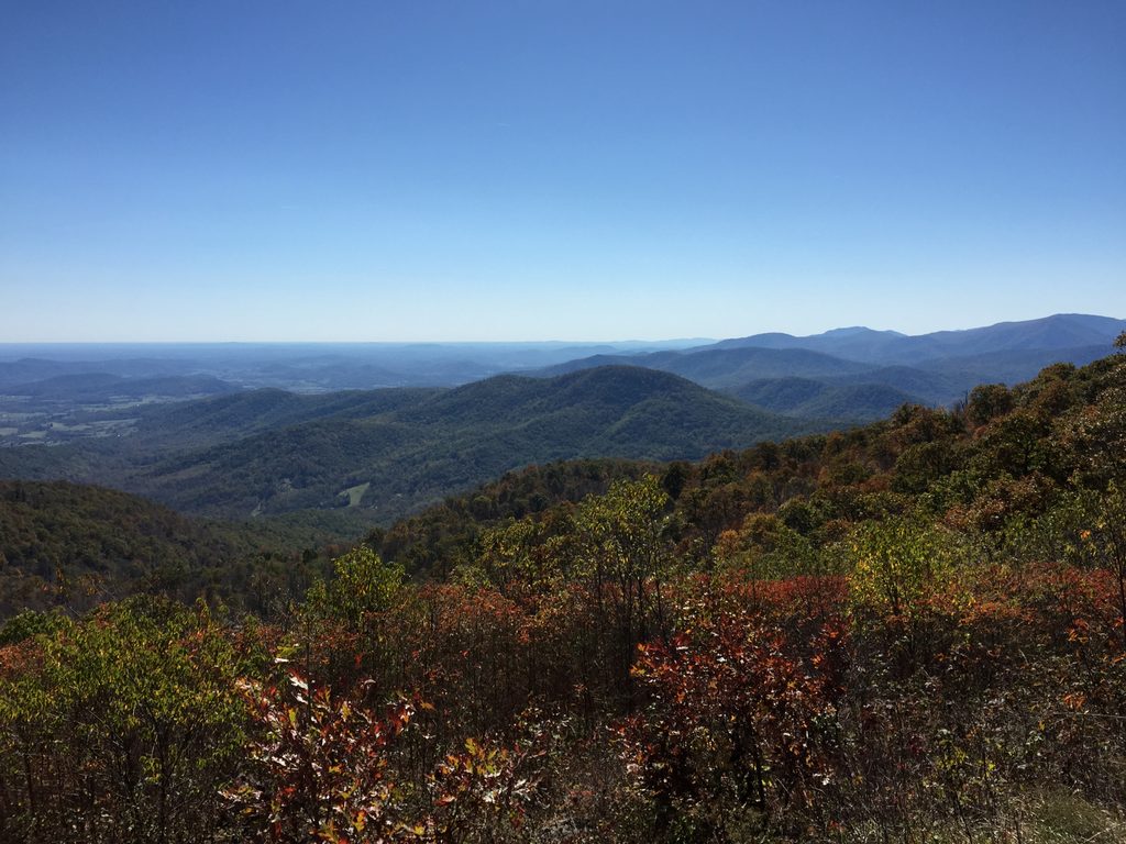
Place · 1.4 mi away
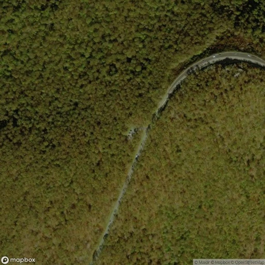
Challenging · 0.6 mi away
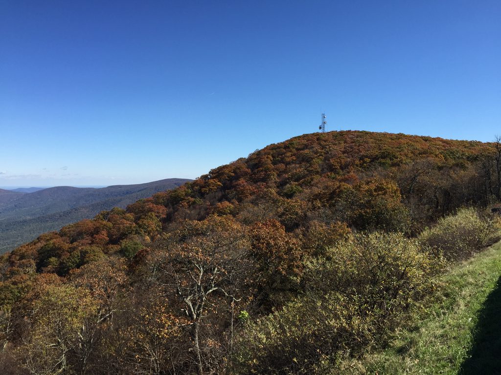
Moderate · 0.7 mi away
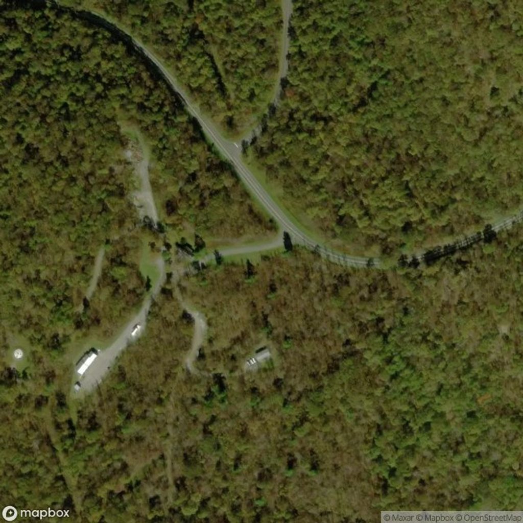
Moderate · 0.9 mi away
Challenging · 1.9 mi away

Parkwolf Tour Guide
