
Place · 0 mi away
Moderate
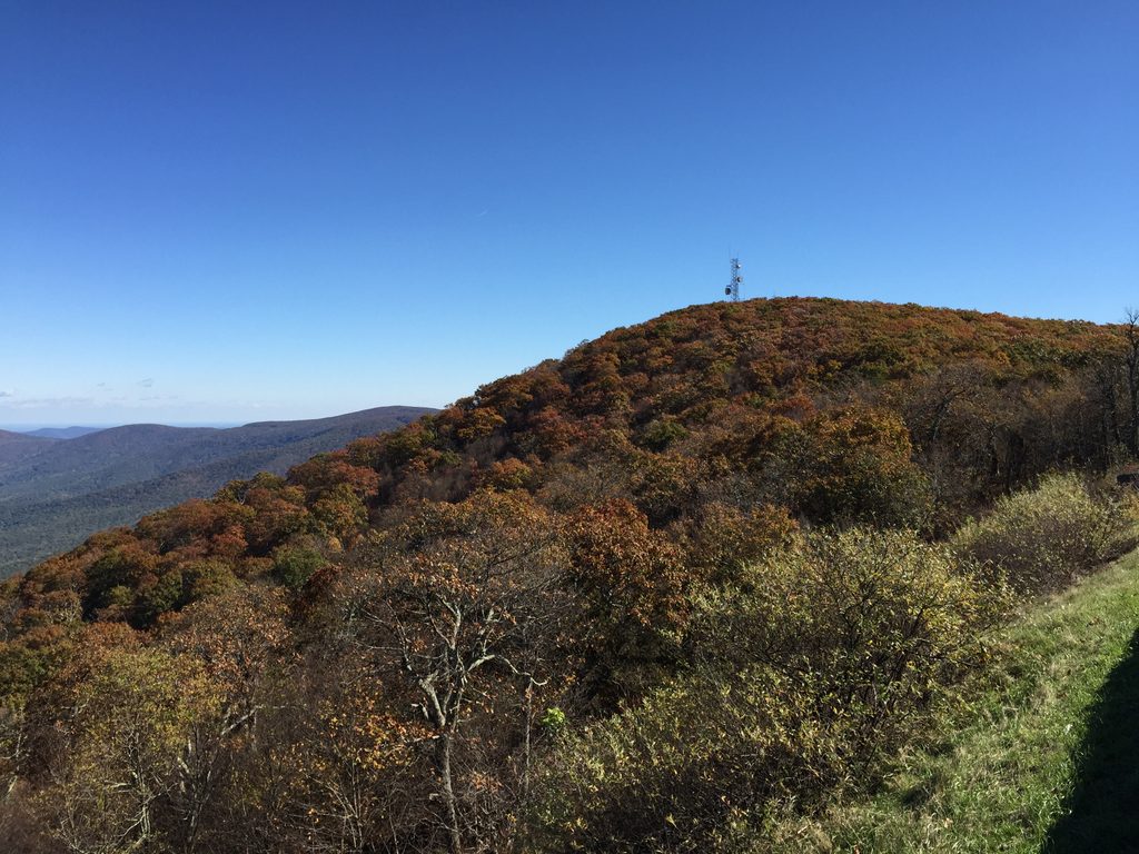
This is a straightforward Appalachian Trail sampler with instant payoff. Start from the Hogback Overlook parking on Skyline Drive and follow the white‑blazed AT along the ridge. Most folks do it as a 2.9‑mile total out‑and‑back, though you can tack on side trails to stretch it into a longer day.
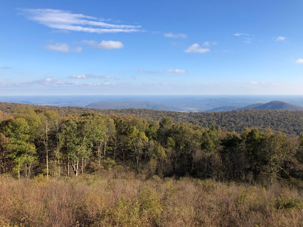
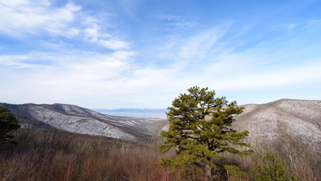
Expect classic Shenandoah AT tread: mostly well‑maintained singletrack with rocky and rooty bits and a couple of short, steeper punches. The hiking is easy to moderate overall, with about 600–700 feet of gain on the standard out‑and‑back. The money views are right at the overlook and from occasional rocky outcrops along the ridge; the true summit is wooded, so come for the ridgetop walking and forest ambience more than a 360‑degree peak moment.
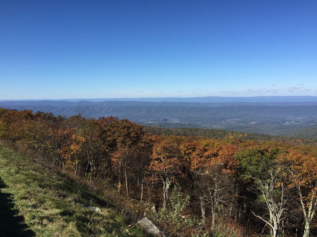
Scenery swings between long looks over the Shenandoah Valley and Massanutten from the overlook and quiet stretches of mature hardwood forest with mountain laurel, wildflowers in spring and summer, and berry bushes here and there. Wildlife is common—white‑tailed deer are routine, and black bears are possible—so keep your distance and store food smartly.
Best time to hike: spring for flowers and before full leaf‑out; summer for shaded, higher‑elevation temps that run cooler than the valleys; fall for peak color and crisp air; winter for wide‑open views but watch for ice. Weekends and foliage season fill the overlook fast—start early if parking is a priority.
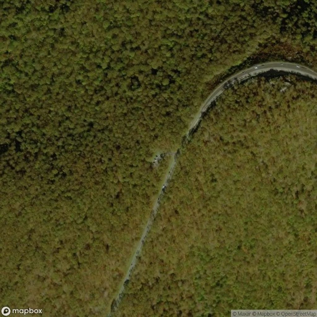
Practicalities: Park at Hogback Overlook (around milepost 20 on Skyline Drive). Vault toilets are typically available at the overlook. There’s no potable water—bring what you need. The AT is well marked in white; blue‑blazed side trails spur to other viewpoints or longer loops if you want more mileage.
Bottom line: a flexible, low‑stress AT outing with big‑view bookends. If you’re chasing a blockbuster summit panorama, other routes might satisfy more; if you want a quieter ridgetop walk steps from the car, this is a solid pick. For a burlier day, consider linking into nearby circuits like Piney Branch or Overall Run.
Hogback Overlook parking on Skyline Drive (around milepost 20); arrive early on weekends and during fall color. Vault toilets typically available.
Rocky, uneven footing; watch for black bears; icy patches possible in winter; no water on trail—carry your own.
Place · 0 mi away
Place · 0.8 mi away
Place · 0.9 mi away
Place · 0.9 mi away
Challenging · 0.2 mi away
Challenging · 0.7 mi away
Moderate · 1.1 mi away
Challenging · 2.3 mi away

Parkwolf Tour Guide
