Manitou Island Transit Ferry in Sleeping Bear Dunes National Lakeshore

Sight · Sleeping Bear Dunes National Lakeshore

Manitou Island Transit Ferry

The Lake Michigan crossing is part of the island trip.

Photo: Wikimedia Commons
Type
Sight
  • Parking
  • Picnic tables
  • Restrooms
  • #17 of 72 sights
Parkwolf audio tour73 stories across Sleeping Bear Dunes’s roads

Overview

About Manitou Island Transit Ferry

Why stop

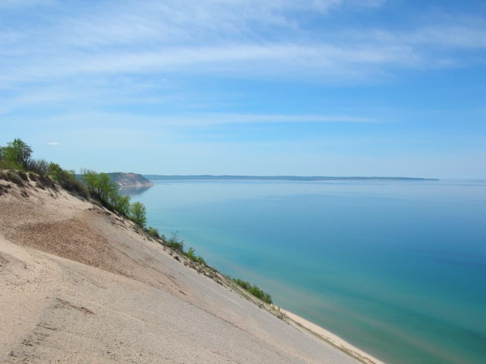
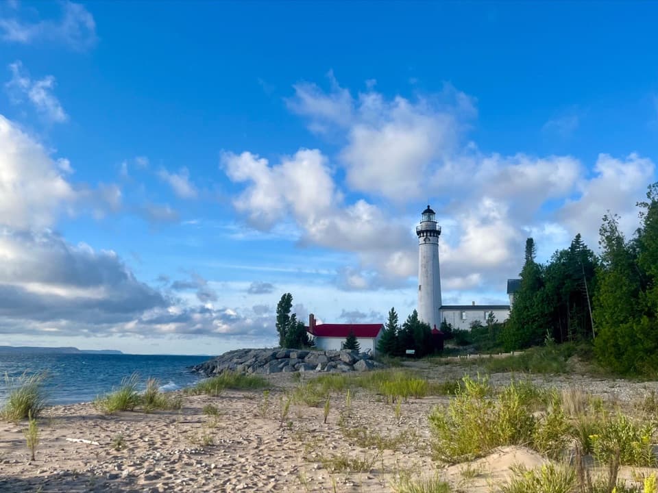
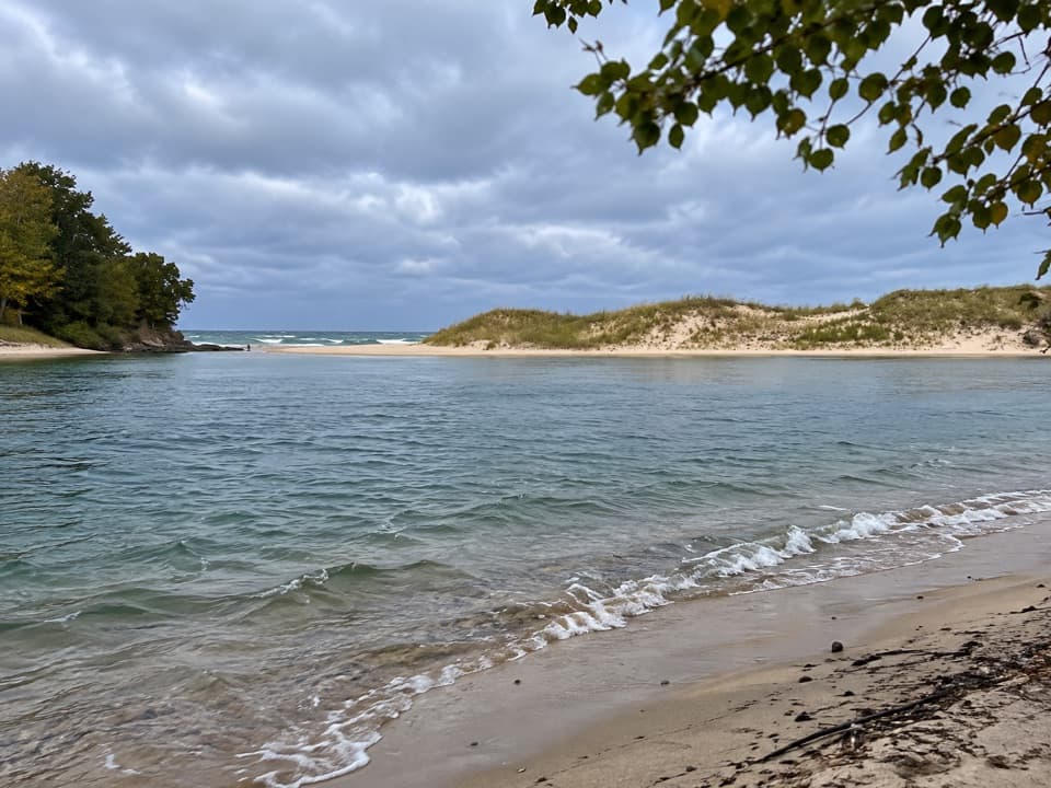
  • The crossing itself is scenic, with open-water views toward the islands and dune coast.
  • The Leland landing sits in the historic Fishtown harbor.

Heads up

  • At about 90 minutes each way, reaching the islands takes real planning.

Map

Where it is

Loading the Sleeping Bear Dunes map
Full map
SightManitou Island Transit Ferry45.02381, -85.76204
Keep this map with you offline in the Parkwolf app

Plan your stop

Before you go

1 active Sleeping Bear Dunes alert

  • ClosureManitou Islands access closures during 2026 constructionMentions this placeNorth and South Manitou Islands have limited visitor access throughout the 2026 season: all facilities, docks, and utilities on both islands remain closed during major construction.Official details

Sleeping Bear Dunes alerts
A park ranger sits on a dash-mounted phone, talking, as Parkwolf’s Tour Guide plays “Army Cutworm Moths: A Grizzly Bear Buffet” on Grand Loop Road below Dunraven Pass in Yellowstone
Parkwolf Tour GuideThe highest, rockiest slopes around here are a summer buffet for grizzly bears.

Sleeping Bear Dunes Tour Guide

Your drive to Manitou Island Transit Ferry, narrated.

Parkwolf is a GPS audio tour guide for Sleeping Bear Dunes National Lakeshore. As you drive, it chimes in with what’s ahead: hidden gems, upcoming stops, history, geology, and wildlife, right through your car’s speakers.

More stories near here in the app

  • The Drumroll in the Woods
  • Good Harbor Beach at CR 651: Sunset over the Bay
  • 73 audio storiesacross Sleeping Bear Dunes’s roads, triggered by GPS as you drive
  • Wildlife heatmapsfor Piping Plover, Bald Eagle, White-tailed Deer, and 13 more
  • Works offlinemaps, 34 trails, 89 places, and audio download before you lose signal
  • CarPlay readysimple controls built for the drive
★★★★★
“Fantastic app with many points of information… It’s great to just turn on while you’re driving and it gives you an audio tour of the national Park. We love it!!!!”
JMJamesApp Store review
Download Parkwolf on the App StoreGet Parkwolf on Google Play

4.7 from 8,600+ ratings

Guide

More about Manitou Island Transit Ferry

Plan for the crossingManitou Island Transit is the passenger ferry from Leland's historic Fishtown to North and…

Manitou Island Transit is the passenger ferry from Leland's historic Fishtown to North and South Manitou Islands. It's the way to reach the islands, and the crossing is a big part of the outing: allow about 90 minutes each way. This is a planned day trip or overnight, not a quick hop from shore. Service normally runs seasonally from May through October, and reservations are required when boats are operating.

Take in the waterThis is a slow crossing of Lake Michigan through Manitou Passage, not a short ride across a bay.

This is a slow crossing of Lake Michigan through Manitou Passage, not a short ride across a bay. The upper deck gives you the broadest views back toward Sleeping Bear's dune coast and North Manitou Island. It can be breezy and spray-prone up there, so bring a layer and keep your things tucked away.

A family route since 1917The Grosvenor-Munoz family has connected Leland with the islands since 1917, and the operation…

The Grosvenor-Munoz family has connected Leland with the islands since 1917, and the operation is now in its fourth generation. The boat has carried mail and supplies as well as passengers, so this route has long been part of island life, not just a scenic ride.

Start in FishtownThe Leland terminal is at 207 W River Street, among Fishtown's old wooden shanties and working…

The Leland terminal is at 207 W River Street, among Fishtown's old wooden shanties and working harbor. Leave a little time to look around before boarding. The landing is listed with car parking, a picnic table and a restroom; check which facilities are available for your trip.

Wildlife

Wildlife in Sleeping Bear Dunes

All Sleeping Bear Dunes wildlife maps

Sighting maps show where each species has been reported across Sleeping Bear Dunes. Wildlife moves, so no sighting is guaranteed.

Parkwolf’s Sleeping Bear Dunes ranking

Top sights in Sleeping Bear Dunes

All 89 places
  1. 1Dune ClimbSight
  2. 2Lake Michigan OverlookSight
  3. 3Pyramid Point OverlookSight
  4. 4Empire Bluff OverlookSight
  5. 5South Manitou Lighthouse ComplexSight
  6. 6North Bar BeachBeach

Take Parkwolf to Sleeping Bear Dunes.

The audio tour guide for the drive, plus offline maps, trails, and wildlife heatmaps for when the signal drops.

4.7 from 8,600+ ratings

Download Parkwolf on the App StoreGet Parkwolf on Google Play