Pyramid Point Overlook in Sleeping Bear Dunes National Lakeshore

#3 of 72 sights in Sleeping Bear Dunes

Sight · Sleeping Bear Dunes National Lakeshore

Pyramid Point Overlook

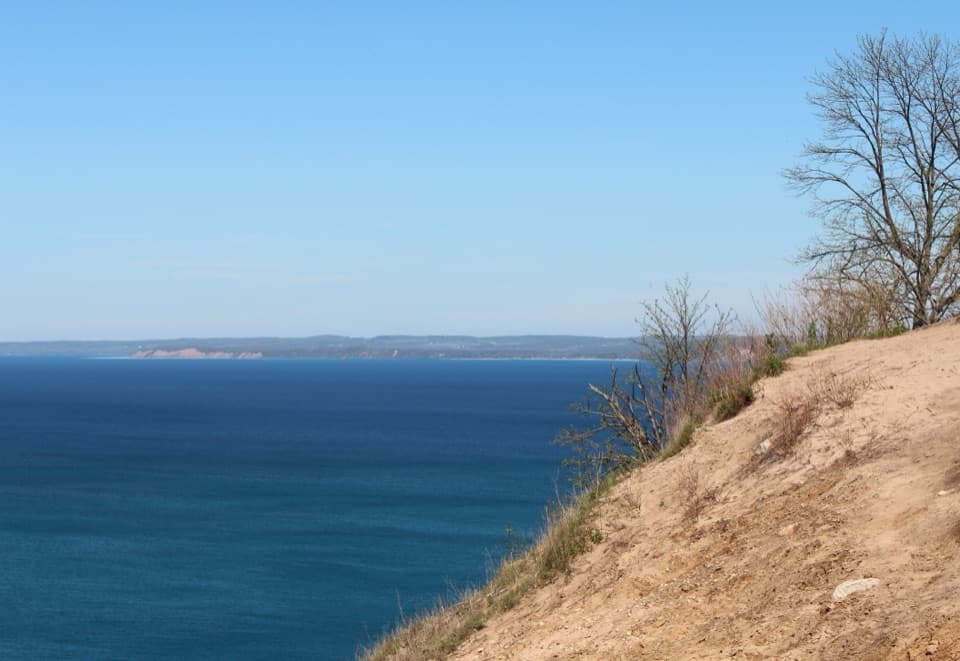
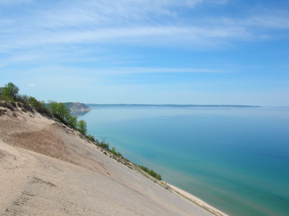
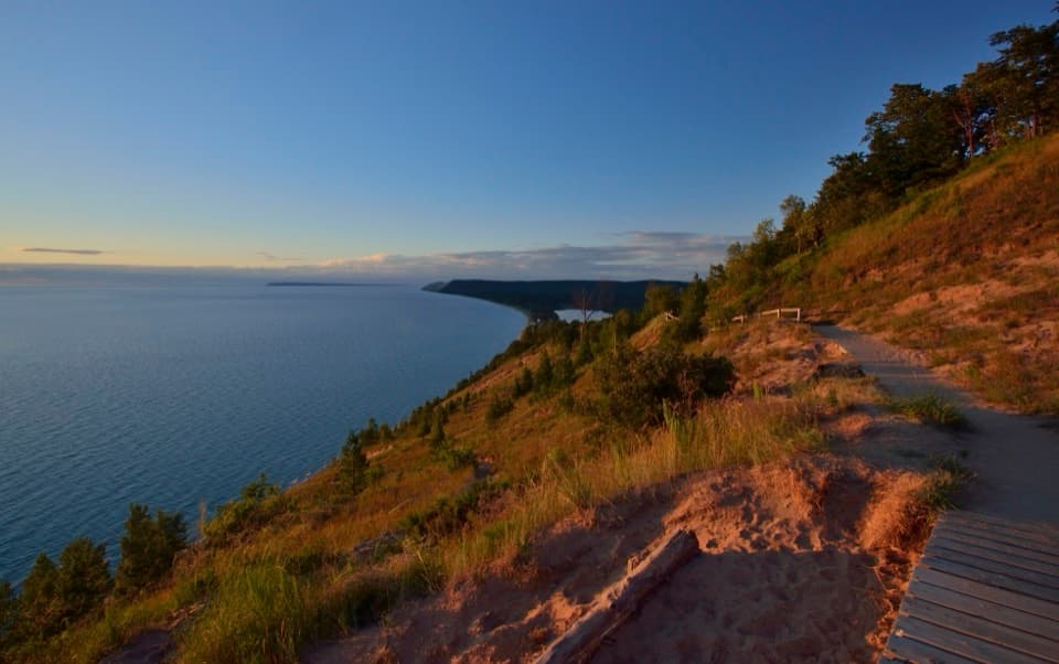
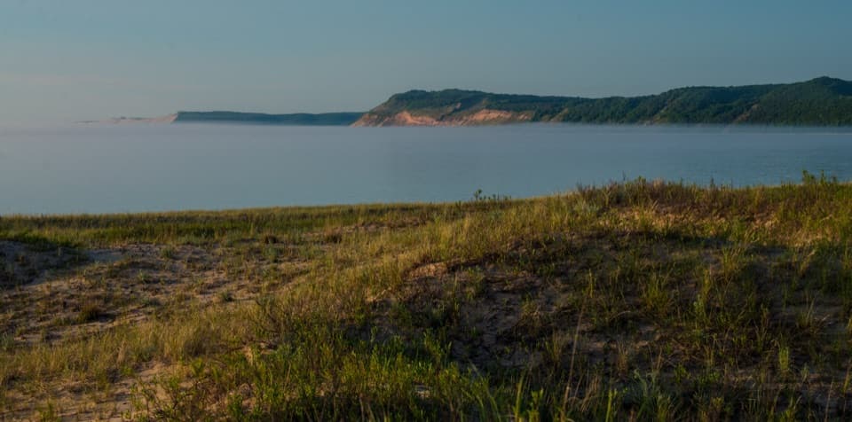
A sandy climb opens to Lake Michigan and the Manitou Islands.

Photo: Wikimedia Commons
Type
Sight
Nearest trail
0.5 mi
Audio stories
8 nearby
  • Scenic viewpoint
  • Parking
  • Restrooms

Hear the audio tour

Pyramid Point: The Short Walk to the Islands View

Overview

About Pyramid Point Overlook

Why stop

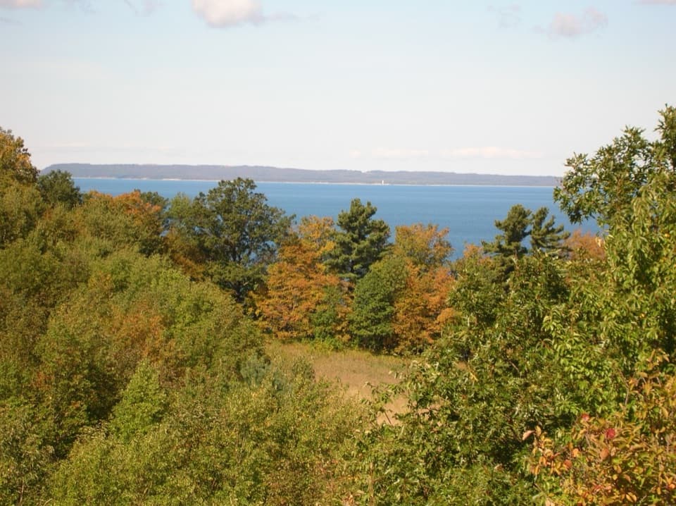
  • The view takes in Lake Michigan, the Manitou Islands and the Crib.

Heads up

  • The short approach ends with a steep sandy climb.

Map

Where it is

Loading the Sleeping Bear Dunes map
Full map
SightPyramid Point Overlook44.96754, -85.92379
Keep this map with you offline in the Parkwolf app

Plan your stop

Before you go

1 active Sleeping Bear Dunes alert

  • ClosureManitou Islands access closures during 2026 constructionMentions Manitou Islands, referenced in this guideNorth and South Manitou Islands have limited visitor access throughout the 2026 season: all facilities, docks, and utilities on both islands remain closed during major construction.Official details

Sleeping Bear Dunes alerts
A park ranger sits on a dash-mounted phone, talking, as Parkwolf’s Tour Guide plays “Army Cutworm Moths: A Grizzly Bear Buffet” on Grand Loop Road below Dunraven Pass in Yellowstone
Parkwolf Tour GuideThe highest, rockiest slopes around here are a summer buffet for grizzly bears.

Sleeping Bear Dunes Tour Guide

Your drive to Pyramid Point Overlook, narrated.

Parkwolf is a GPS audio tour guide for Sleeping Bear Dunes National Lakeshore. As you drive, it chimes in with what’s ahead: hidden gems, upcoming stops, history, geology, and wildlife, right through your car’s speakers.

Recorded for this place

Pyramid Point: The Short Walk to the Islands View
0:00 / 0:27
“You're nearing the Pyramid Point trailhead, where a short uphill walk opens onto Lake Michigan and the Manitou Islands.”

Plays as you drive up to Pyramid Point Overlook in the Parkwolf Sleeping Bear Dunes Tour Guide.

More stories near here in the app

  • No Name Road Beach: Sand Below the Stairs
  • Harvesting Winter for Summer
  • A Plover with Extra Legs
  • Martin and Allay Basch Farm: Look at the Woodwork
  • 73 audio storiesacross Sleeping Bear Dunes’s roads, triggered by GPS as you drive
  • Wildlife heatmapsfor Piping Plover, Bald Eagle, White-tailed Deer, and 13 more
  • Works offlinemaps, 34 trails, 89 places, and audio download before you lose signal
  • CarPlay readysimple controls built for the drive
★★★★★
“Fantastic app with many points of information… It’s great to just turn on while you’re driving and it gives you an audio tour of the national Park. We love it!!!!”
JMJamesApp Store review
Download Parkwolf on the App StoreGet Parkwolf on Google Play

4.7 from 8,600+ ratings

Guide

More about Pyramid Point Overlook

A short hike to an open bluffPyramid Point Overlook is a sandy bluff-top viewpoint over Lake Michigan, reached from the…

Pyramid Point Overlook is a sandy bluff-top viewpoint over Lake Michigan, reached from the Basch Road trailhead by Pyramid Point Trail. Most people take the 0.6-mile climb to the bluff and return the same way, about 1.2 miles round trip. The route is short, but the final sandy stretch feels steep to many visitors, so expect a real uphill walk rather than a roadside stop.

Don’t descend the bluff to the water. The slope drops farther than it looks from above, and you can’t see the bottom.

Find the islands and the CribFrom the exposed top, look across Lake Michigan toward the Manitou Islands.

From the exposed top, look across Lake Michigan toward the Manitou Islands. On a clear day you may also spot a Great Lakes freighter and North Manitou Shoal Light, known locally as the Crib. The light marks a dangerous shoal in the island passage and can look like a large white sail on the horizon.

For a photo, stay back from the edge and use the sandy rim or a nearby tree as foreground, with the islands beyond. If a freighter passes, the boat and the Crib give the wide lake view a little scale.

Keep going if you want the longer loopThe overlook is a spur off the longer Pyramid Point Trail loop.

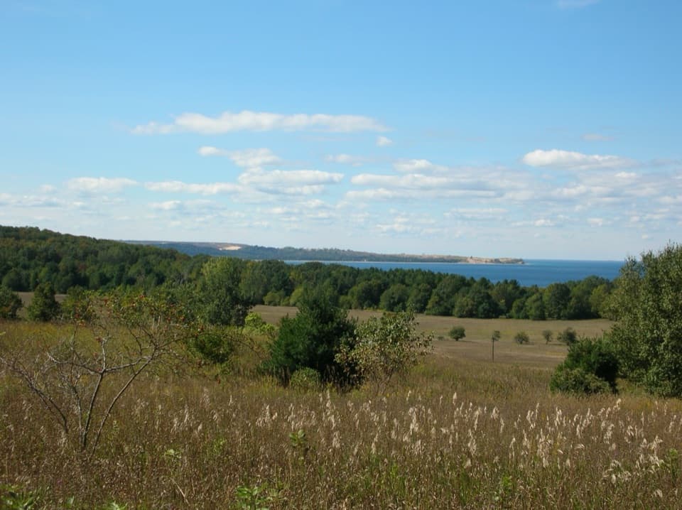
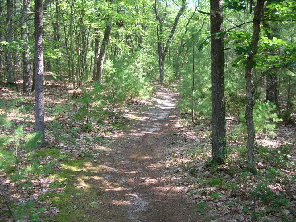
The overlook is a spur off the longer Pyramid Point Trail loop. Continue for old farm fields and meadows, shaded beech-maple woods and broad sand bowls; the final 0.4 mile follows Basch Road. If the panorama is your main reason for coming, turning back from the bluff keeps the visit to the shorter out-and-back.

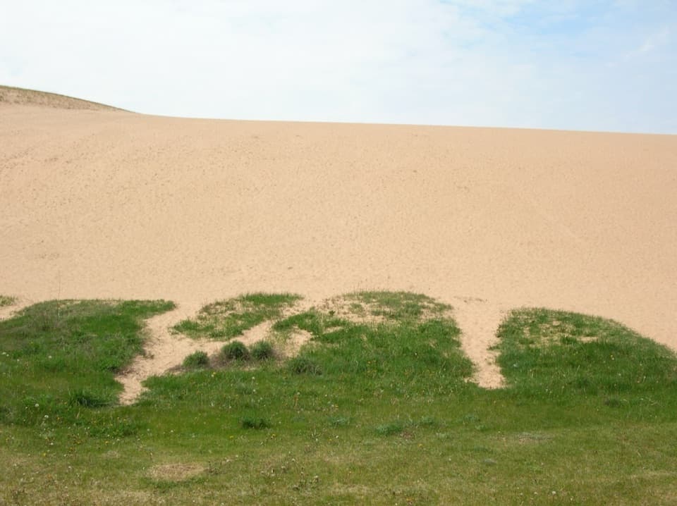
A dune sorted by windThat high sandy spot is a dune.

That high sandy spot is a dune. Wind sorted its pure sand out of the area’s layered sand-and-gravel deposits, leaving a soft, exposed summit above the steep lakeshore.

At the trailheadThe Basch Road trailhead has gravel parking and a vault toilet.

The Basch Road trailhead has gravel parking and a vault toilet. No potable-water source is listed there, so bring what you’ll need for the walk. A lakeshore entrance pass is required, and dogs are allowed on the trail year-round on a leash no longer than six feet.

Wildlife

Wildlife in Sleeping Bear Dunes

All Sleeping Bear Dunes wildlife maps

Sighting maps show where each species has been reported across Sleeping Bear Dunes. Wildlife moves, so no sighting is guaranteed.

Parkwolf’s Sleeping Bear Dunes ranking

Top sights in Sleeping Bear Dunes

All 89 places
  1. 1Dune ClimbSight
  2. 2Lake Michigan OverlookSight
  3. 4Empire Bluff OverlookSight
  4. 5South Manitou Lighthouse ComplexSight
  5. 6North Bar BeachBeach
  6. 7Platte River Point BeachBeach

Take Parkwolf to Sleeping Bear Dunes.

The audio tour guide for the drive, plus offline maps, trails, and wildlife heatmaps for when the signal drops.

4.7 from 8,600+ ratings

Download Parkwolf on the App StoreGet Parkwolf on Google Play