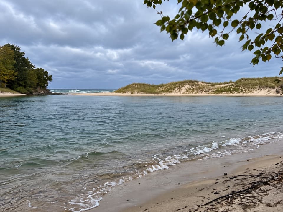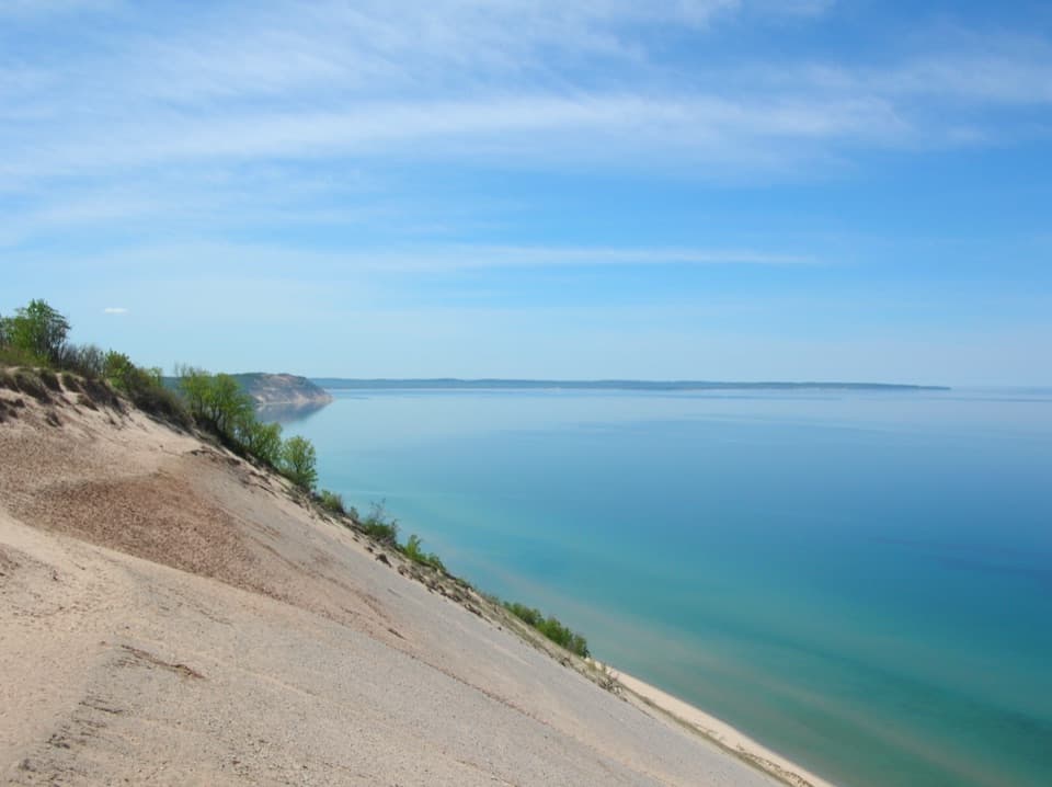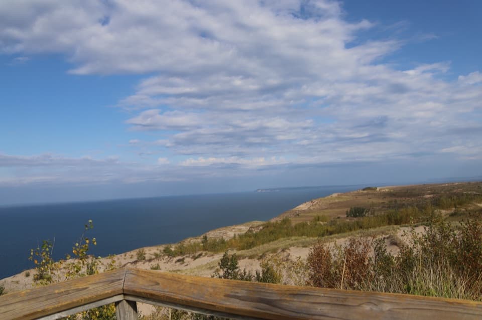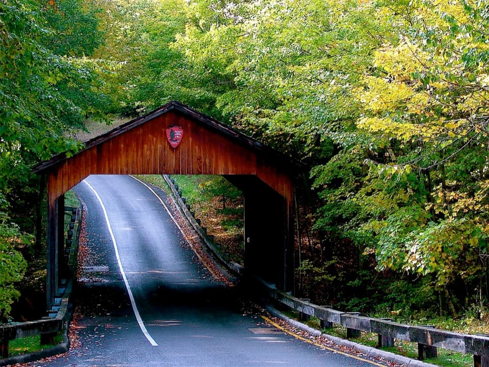
Empire Bluff Overlook in Sleeping Bear Dunes National Lakeshore

#4 of 72 sights in Sleeping Bear Dunes

Sight · Sleeping Bear Dunes National Lakeshore

Empire Bluff Overlook

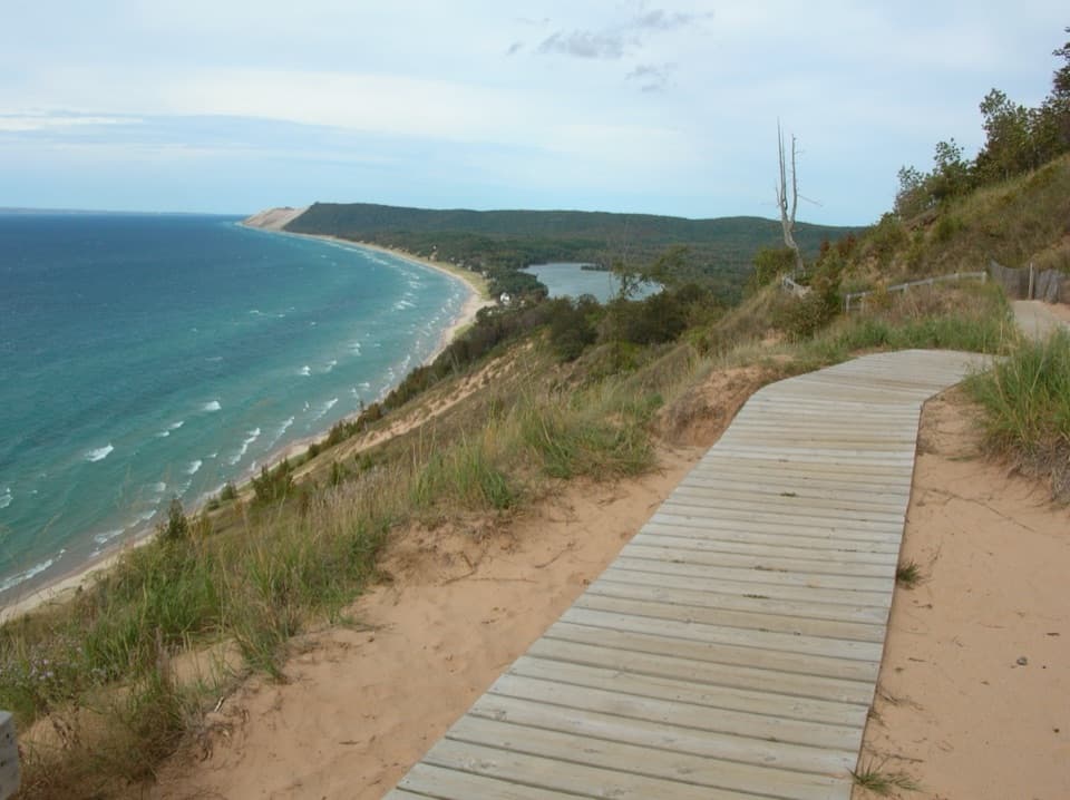
A boardwalk panorama worth the hilly 1.5-mile walk.

Photo: National Park Service
Type
Sight
Nearest trail
0.7 mi
Audio stories
3 nearby
  • Scenic viewpoint
  • Parking
  • Picnic tables
  • Restrooms

Hear the audio tour

Empire Bluff: A Wooded Walk to the Lake

Overview

About Empire Bluff Overlook

Why stop

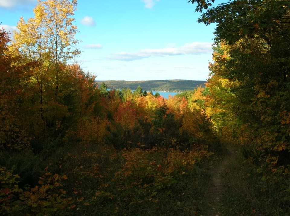
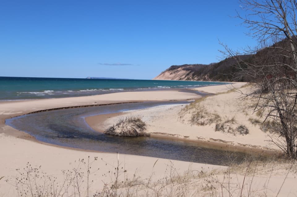
  • A big Lake Michigan panorama with dunes, shoreline and inland lake.

Heads up

  • The viewpoint takes a moderate, hilly 1.5-mile round trip to reach.

Map

Where it is

Loading the Sleeping Bear Dunes map
Full map
SightEmpire Bluff Overlook44.80135, -86.07152
Keep this map with you offline in the Parkwolf app

Plan your stop

Before you go

2 active Sleeping Bear Dunes alerts

  • ClosureManitou Islands closed during dock constructionNorth and South Manitou Islands have major access and facility closures during dock construction; the passenger ferry will not operate in 2026.Official details
  • CautionHunters may be present during fall seasonsHunters may be present in Sleeping Bear Dunes while fall hunting seasons overlap with visitor use. - Several Michigan hunting seasons overlap and begin in mid-September.Official details

Sleeping Bear Dunes alerts
A park ranger sits on a dash-mounted phone, talking, as Parkwolf’s Tour Guide plays “Army Cutworm Moths: A Grizzly Bear Buffet” on Grand Loop Road below Dunraven Pass in Yellowstone
Parkwolf Tour GuideThe highest, rockiest slopes around here are a summer buffet for grizzly bears.

Sleeping Bear Dunes Tour Guide

Your drive to Empire Bluff Overlook, narrated.

Parkwolf is a GPS audio tour guide for Sleeping Bear Dunes National Lakeshore. As you drive, it chimes in with what’s ahead: hidden gems, upcoming stops, history, geology, and wildlife, right through your car’s speakers.

See the Sleeping Bear Dunes audio tour

Recorded for this place

Empire Bluff: A Wooded Walk to the Lake
0:00 / 0:26
“The Empire Bluff trailhead is coming up, with a wooded hike to a boardwalk overlooking Lake Michigan and the curving shoreline.”

Plays as you drive up to Empire Bluff Overlook in the Parkwolf Sleeping Bear Dunes Tour Guide.

More stories near here in the app

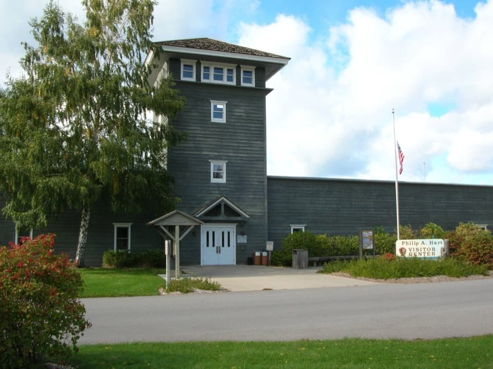
  • Philip A. Hart Visitor Center: Get Your Bearings
  • Treat Farm: A Barn Moved Piece by Piece
  • Sleeping Bear Heritage Trail: Choose a Section
  • Flowers Before the Leaves
  • 73 audio storiesacross Sleeping Bear Dunes’s roads, triggered by GPS as you drive
  • Wildlife heatmapsfor Piping Plover, Bald Eagle, White-tailed Deer, and 13 more
  • Works offlinemaps, 34 trails, 89 places, and audio download before you lose signal
  • CarPlay readysimple controls built for the drive
★★★★★
“Fantastic app with many points of information… It’s great to just turn on while you’re driving and it gives you an audio tour of the national Park. We love it!!!!”
JMJamesApp Store review
Download Parkwolf on the App StoreGet Parkwolf on Google Play

4.7 from 8,600+ ratings

Guide

More about Empire Bluff Overlook

Keep this climb for the viewEmpire Bluff Overlook is the boardwalk at the end of the Empire Bluff Trail, perched about 400…

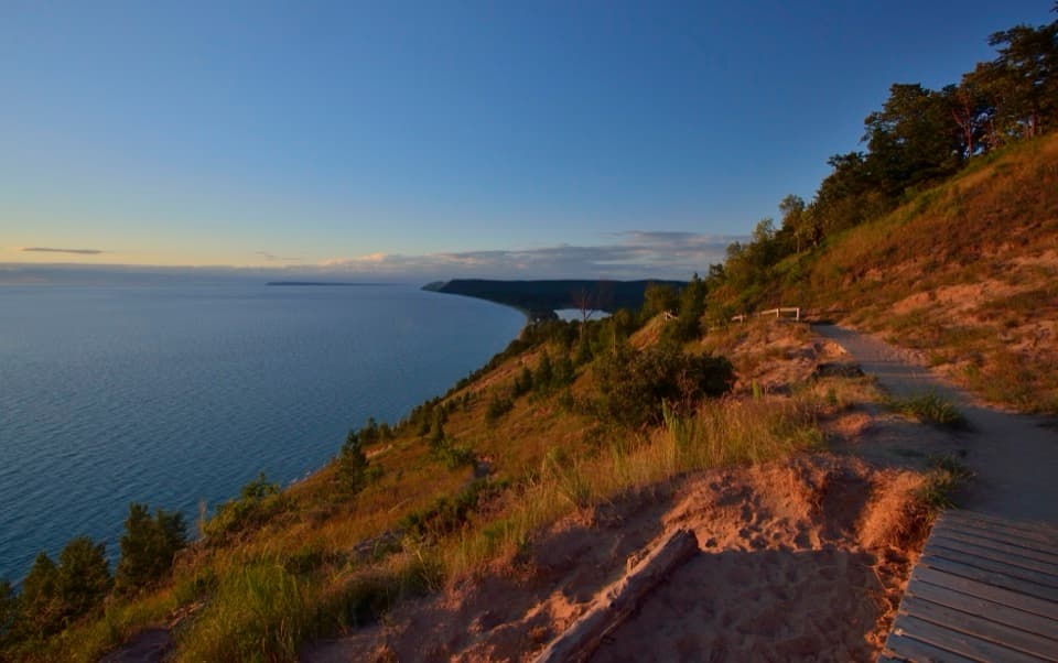
Empire Bluff Overlook is the boardwalk at the end of the Empire Bluff Trail, perched about 400 feet above Lake Michigan. Keep it high on your list if you’re up for a short but hilly walk: the payoff is a long sweep of lake, shoreline and dunes from one bluff-top deck. Reaching it takes 1.5 miles round trip on a moderate trail with some stairs, so this is a hike to a viewpoint, not a roadside pullout.

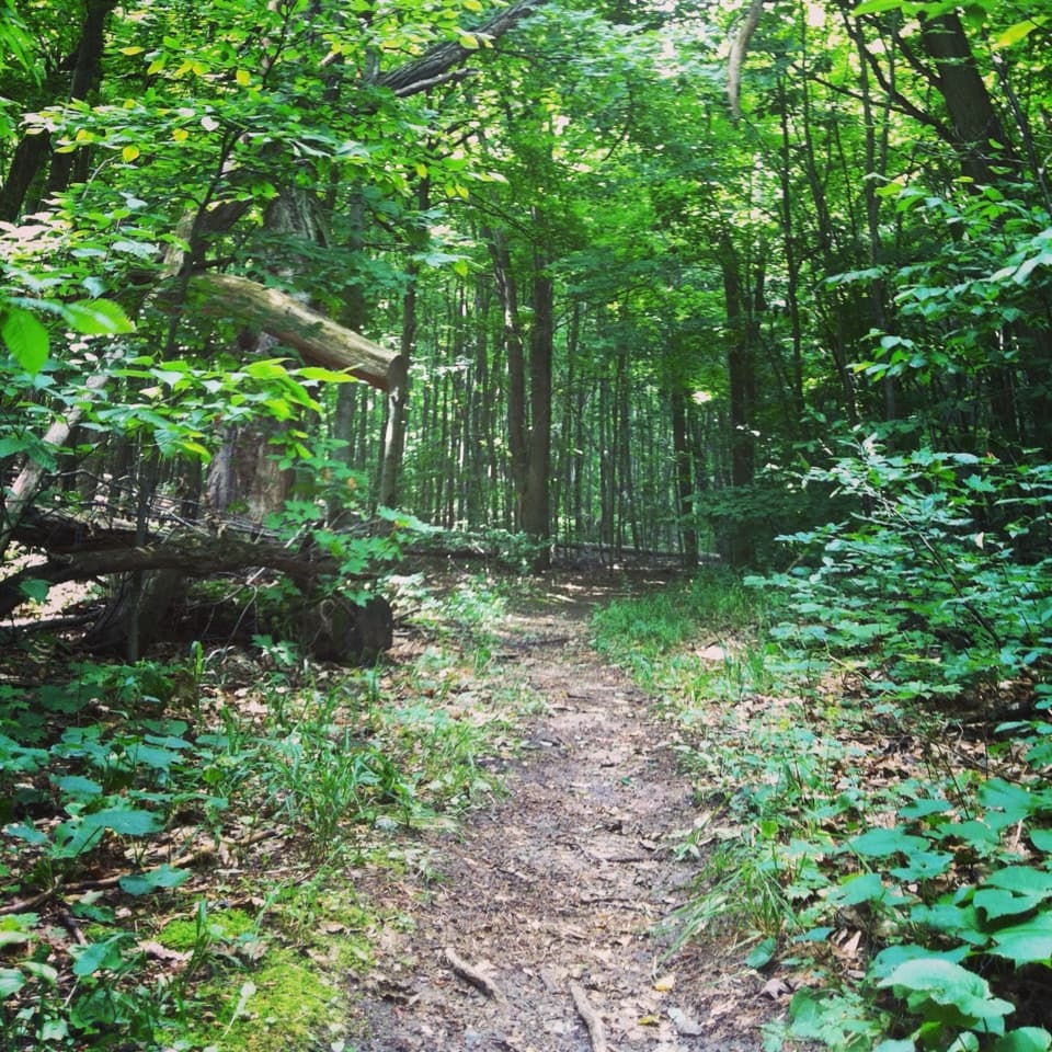
The walk to the boardwalkThe trail climbs through beech-maple woods, crosses open patches with dune plants, then follows…

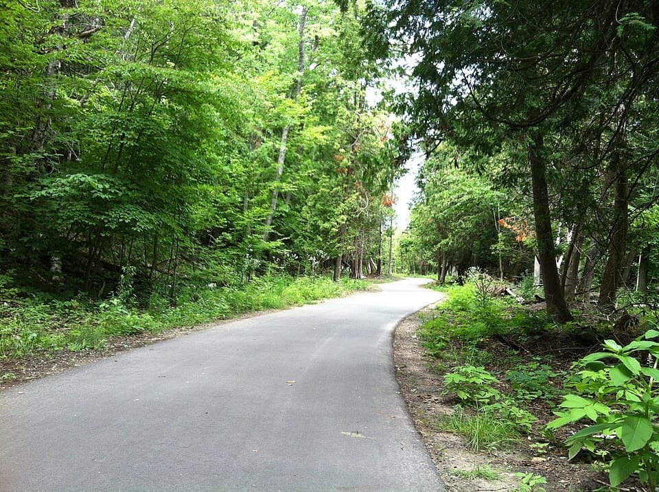
The trail climbs through beech-maple woods, crosses open patches with dune plants, then follows the bluff shoulder along a 500-foot boardwalk with a railing. Benches give you places to pause; one about half a mile in looks over South Bar Lake and Platte Bay. At the trailhead you’ll find parking, a picnic table and a vault toilet. There’s no potable water listed there, so fill up before you start. Leashed dogs are allowed on the trail. Stay on the boardwalk and don’t descend the bluff.

Read the shorelineFrom the overlook, you can pick out Point Betsie, South Manitou Island, Platte Bay and South…

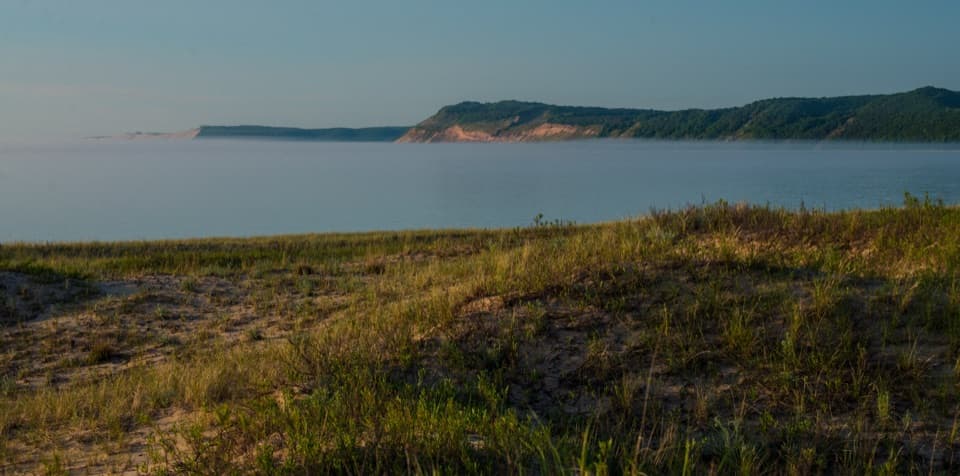
From the overlook, you can pick out Point Betsie, South Manitou Island, Platte Bay and South Bar Lake on a clear day. Distant views depend on visibility, but the sweep of Lake Michigan is the constant. The boardwalk makes a useful foreground: frame along its rail with the shoreline curve and dunes across the water. Near-dusk light can warm the bluff; take a flashlight for the shaded walk back if you stay after sunset.

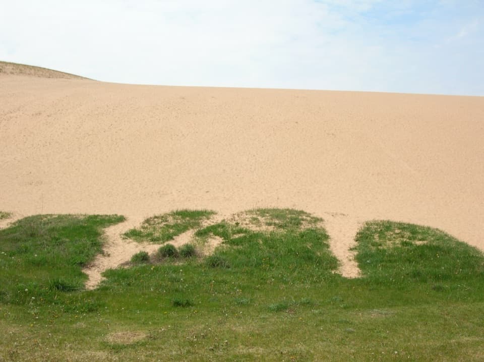
Sand on top of iceThis is a perched dune: a few feet of sand sit above hundreds of feet of glacial moraine.

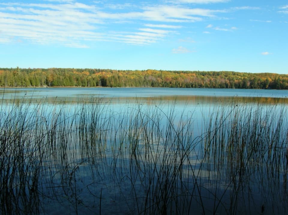
This is a perched dune: a few feet of sand sit above hundreds of feet of glacial moraine. Meltwater left layered sediments here as ice filled the Platte Bay and Empire Embayment. Look south toward South Bar Lake and you’re seeing a landscape that used to be part of Lake Michigan. Longshore currents built the sandbar that separated it from the open lake; lower water helped the split along, and plants and trapped sediment later steadied the barrier.

Old farms along the routeThe trail crosses land that was logged and farmed before it became parkland.

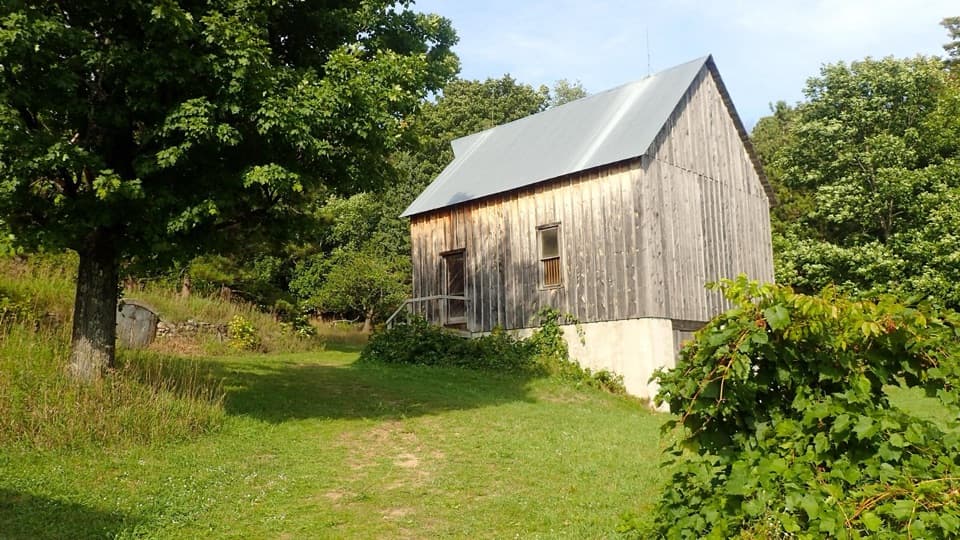
The trail crosses land that was logged and farmed before it became parkland. Near the early trail posts, look for a McCormick Deering No. 7 horse-drawn mowing machine, made between 1929 and 1940 and left behind from the Depression-era farm landscape. Around 1910, Empire Lumber Company planted orchards on logged-over land. The apple and plum trees still seen along the route may have grown from discarded fruit, though that origin isn’t certain.

Flowers before the canopy fills inThe approach runs through northern hardwood forest, mostly sugar maple, red maple and beech…

The approach runs through northern hardwood forest, mostly sugar maple, red maple and beech with some white pine. In sunny openings, paper birch and quaking aspen turn up too. Spring can bring trillium, bloodroot and Dutchman’s breeches before the tree canopy closes overhead, so the forest looks quite different early in the season than it does in summer.

A landmark from the waterThe prominent Sleeping Bear Dune across the embayment once helped sailors navigate along Lake…

The prominent Sleeping Bear Dune across the embayment once helped sailors navigate along Lake Michigan: its dark, vegetated shape stood out from the shoreline. Much of that dune has since eroded, but the high vantage here still helps make sense of the dune country, the curving shore and the bays that separate it.

Wildlife

Wildlife in Sleeping Bear Dunes

All Sleeping Bear Dunes wildlife maps

Sighting maps show where each species has been reported across Sleeping Bear Dunes. Wildlife moves, so no sighting is guaranteed.

Keep exploring

Near Empire Bluff Overlook

See it all on the map

Trails nearby

More stops nearby

Parkwolf’s Sleeping Bear Dunes ranking

Top sights in Sleeping Bear Dunes

All 89 places
  1. 1Dune ClimbSight
  2. 2Lake Michigan OverlookSight
  3. 3Pyramid Point OverlookSight
  4. 5South Manitou Lighthouse ComplexSight
  5. 6North Bar BeachBeach
  6. 7Platte River Point BeachBeach

Take Parkwolf to Sleeping Bear Dunes.

The audio tour guide for the drive, plus offline maps, trails, and wildlife heatmaps for when the signal drops.

4.7 from 8,600+ ratings

Download Parkwolf on the App StoreGet Parkwolf on Google Play