
Place
Moderate

Lomo Hurtado (PNT 22) is a linear connector on compacted pumice that links the north side of the park’s trail network in about 4.8–5.0 km (3.0–3.1 miles) one way, typically taking around 1.5 hours. Access is free and no permit is required. Official sources list the difficulty as low, while a tourism sheet calls it intermediate—expect easy footing but high‑altitude effort.
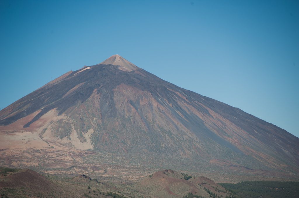
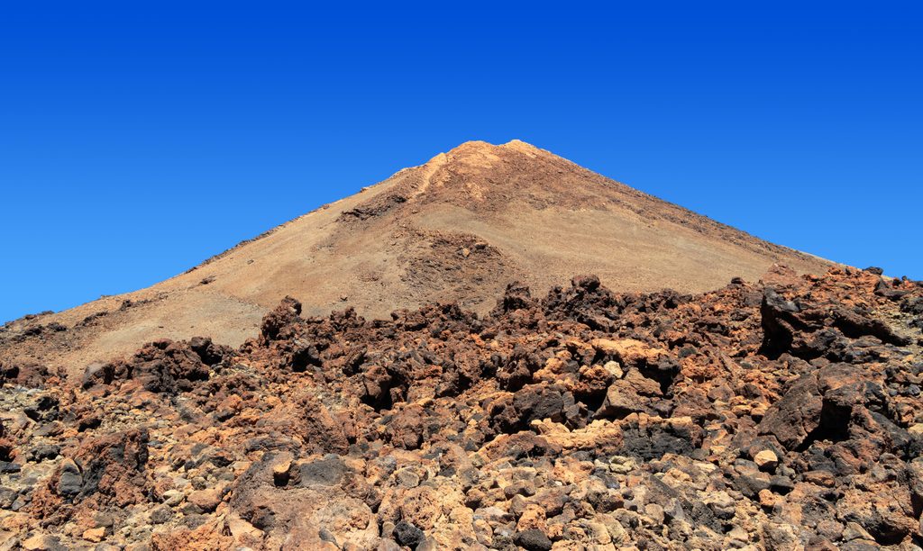
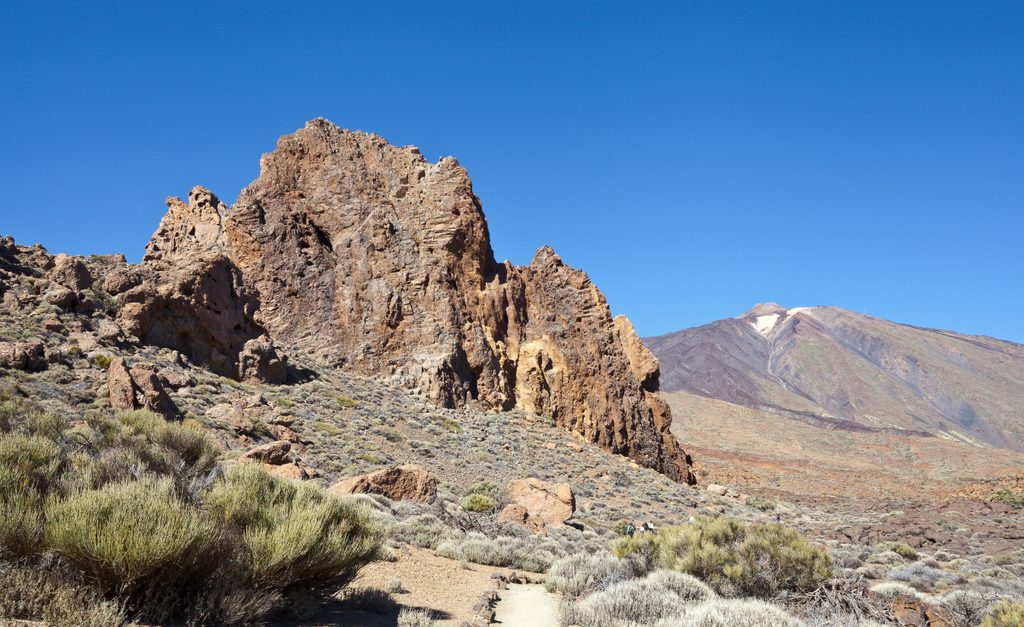
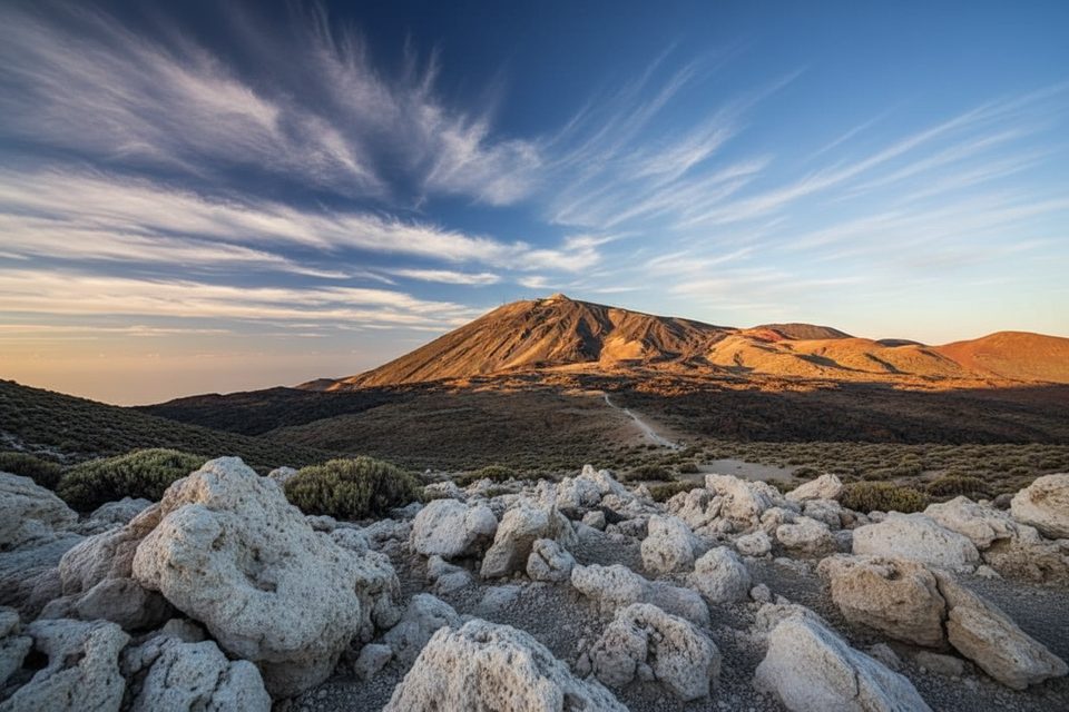
The path runs between the junction with Trail 1 (La Fortaleza) and Trail 25 (Recibo Quemado) near Llano de Los Rastrojos, and the junction with Trail 6 (Montaña de los Tomillos) by Montaña de los Conejos, very close to Trail 7 toward the Montaña Blanca corridor. Elevation ranges roughly from 2,054 m to 2,480 m; grades are generally gentle, tightening near the upper section. As you move away from the escarpments of Cabezón de Tigaiga and La Fortaleza, the landscape opens to pale pumice fields tied to Montaña Blanca’s explosive history. Look for retama (broom) and occasional pajonera grass; hikers linking from the Montaña Blanca side sometimes note large lava bombs (“Teide eggs”).
Pick your flavor: start lower (near Trail 1/25) if you want most of the ~443 m ascent and only ~35 m descent, or begin near Montaña de los Conejos for a mostly downhill stroll (the ascent/descent flips). Because it’s linear, many hikers weave it into a longer day using the surrounding network—Trails 1, 6, 7, 25, and even 33 make smart link‑ups.
There are no season‑specific restrictions noted for this route. It’s walkable year‑round when weather cooperates. Late spring (May–June) can be especially colorful in this sector. Always check conditions; wind and strong sun are common at these elevations.
Think of PNT 22 as a scenic connector rather than a destination in itself—great tread, big context, modest time commitment. Surface is mostly compacted pumice, which is comfortable but can feel softer near the top. Standard high‑mountain advice applies: carry water, sun protection, a hat, and a windproof/warm layer; wear proper footwear; pack out all waste; and let someone know your plan. Emergency number: 112. Official information lists access as free; some tourism listings tag it “not homologated,” but the park authority page is the reference for status.
Popular combos include a loop using Trails 1 → 6 → 22 → back to 1, sampling Montaña de los Tomillos before descending Lomo Hurtado. Being so close to Trail 7 also makes it a handy piece in itineraries that approach the Montaña Blanca corridor without committing to the full ascent.
No dedicated parking details are provided in the sources. Treat it as a connector between the Trail 1/25 junction near Llano de Los Rastrojos and the Trail 6 junction by Montaña de los Conejos; plan a shuttle, key swap, or loop via Trails 1 and 6.
High altitude (about 2,054–2,480 m) with strong sun and wind; weather shifts quickly. Pumice can be soft/loose near the upper section. Check trail status and conditions, carry water and sun protection, bring warm/windproof layers, and note emergency number 112.
Place
Place
Place
Place
Challenging
Moderate
Challenging
Challenging

Parkwolf Tour Guide
