
Place
Challenging
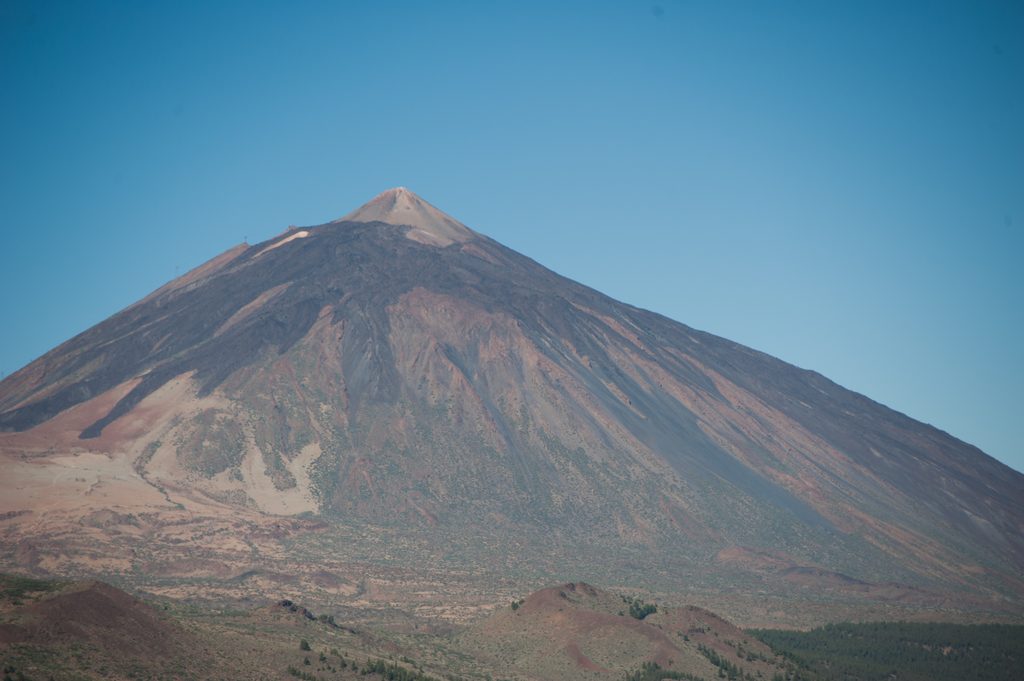
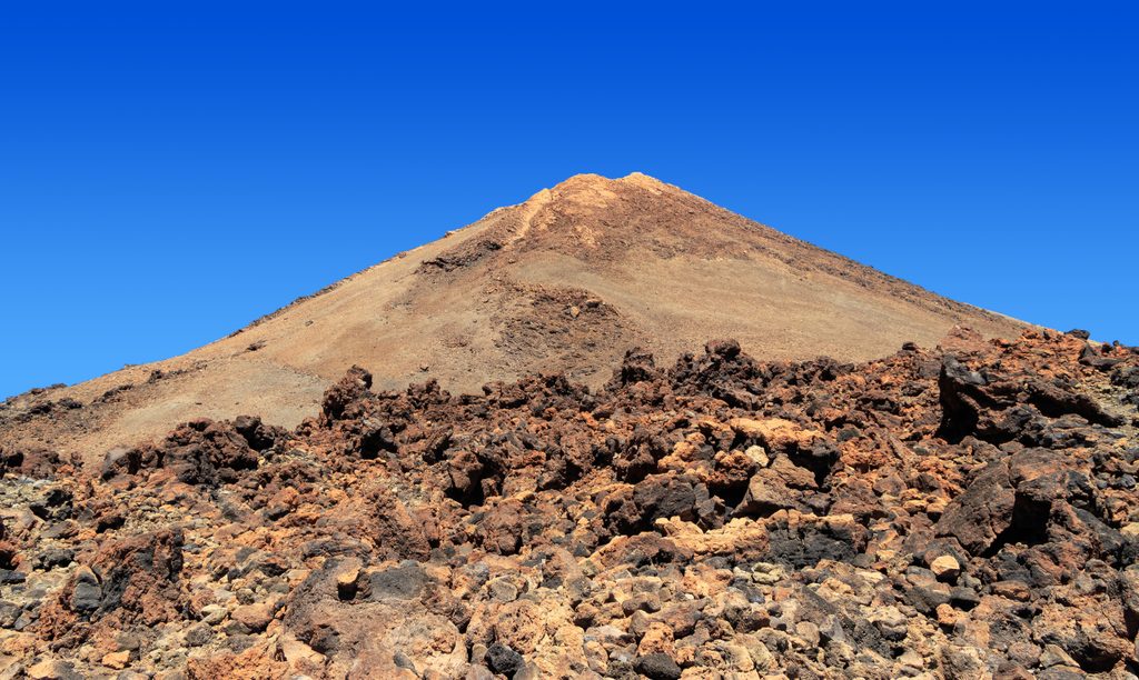
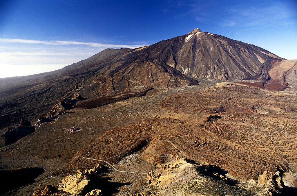
This is the restricted summit path from La Rambleta to the true top of Teide. It’s short but serious: about 0.66 km one way (roughly 0.82 miles round trip) with around 170–173 m of gain, starting high at 3,555 m and topping out near 3,715 m. Expect thin air, steep grades (pitches up to ~60%), and unforgettable views when the sky clears.
You begin inside a natural lava canal—smooth walls, layered flows—then cross a small landing known as the Mirador del Canal. Higher up, the path skirts the interior edge of the canal toward the crater. Near the rim, active fumaroles release warm gases; you’ll likely catch the sulfur smell and see white dust and yellow staining around vents. On clear days, the panorama can float above a sea of clouds, with Pico Viejo prominent.
Although well‑conditioned, this climb feels punchy thanks to altitude and gradient. Plan on about 40–45 minutes for the ascent (times vary with fitness and conditions). Move deliberately, take breathers, and don’t force the pace. This route is rated high difficulty and is not recommended for people with cardiovascular issues, pregnant individuals, or children under 3.
Access is strictly controlled. A free permit is mandatory and checked at La Rambleta. Slots are limited and released in small batches on a rolling window, so plan ahead—permits often go fast. The summit path connects at La Rambleta with the upper‑station trails to Mirador de la Fortaleza (PNT‑11) and Mirador de Pico Viejo (PNT‑12).
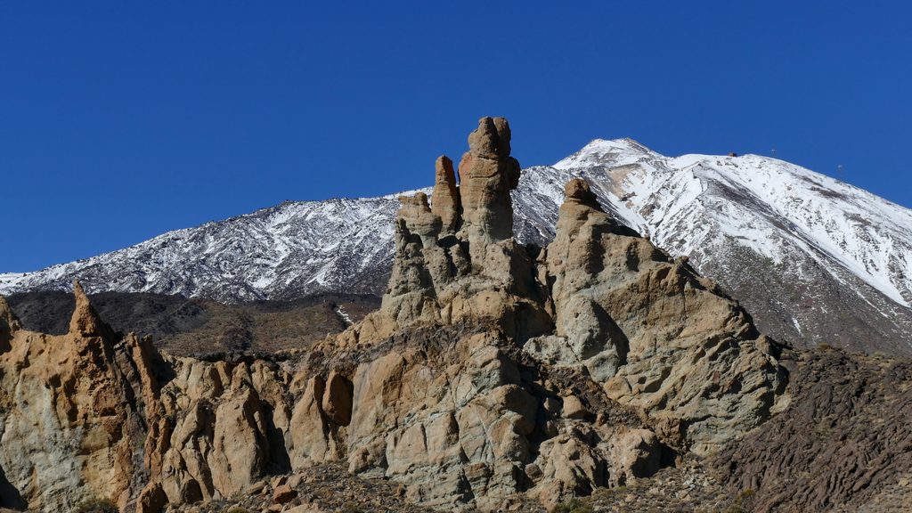
Open year‑round in principle, but winter snow or ice can shut the route temporarily. Mornings often bring steadier weather and calmer winds; afternoons can see more cloud build‑up. There’s no shade—bring sun protection even on cool days. Always check current conditions before heading up.
This is a front‑row walk through Teide’s volcanic story: the lava canal’s stacked layers, the crater’s fumaroles, and sulfur deposits that tint the rocks. The area hosts specialized high‑altitude life adapted to the warm, moist microclimate near vents—keep an eye out for hardy plants clinging to the cinders.
Wear sturdy footwear and warm layers; pack sunglasses, sunscreen, and plenty of water. Hike with a partner, stick to the signed path, and respect the fragile summit environment—no off‑trail shortcuts, picking plants, or leaving litter. In an emergency, call 112.
You can still ride to La Rambleta and walk the adjoining viewpoints (PNT‑11 and PNT‑12) for huge vistas and a close look at the crater area—without stepping onto the restricted summit path.
Note: The length above is total (out and back from La Rambleta); typical total time including descent and stops is around 2 hours when crowds and altitude are factored in.
No vehicle access at the trailhead. The route starts at La Rambleta (upper cable car station); reach it by cable car or long permitted approach hikes—there is no parking at La Rambleta.
Permit required and checked at La Rambleta; very steep grades up to ~60% at high altitude (3,555–3,715 m); sulfur fumes near fumaroles; fully exposed with no shade; weather can close the trail without notice; not recommended for people with cardiovascular conditions, pregnant individuals, or children under 3.
Place
Place
Place
Place
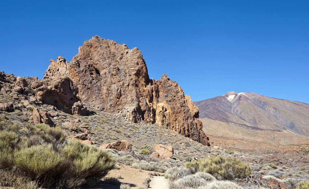
Moderate
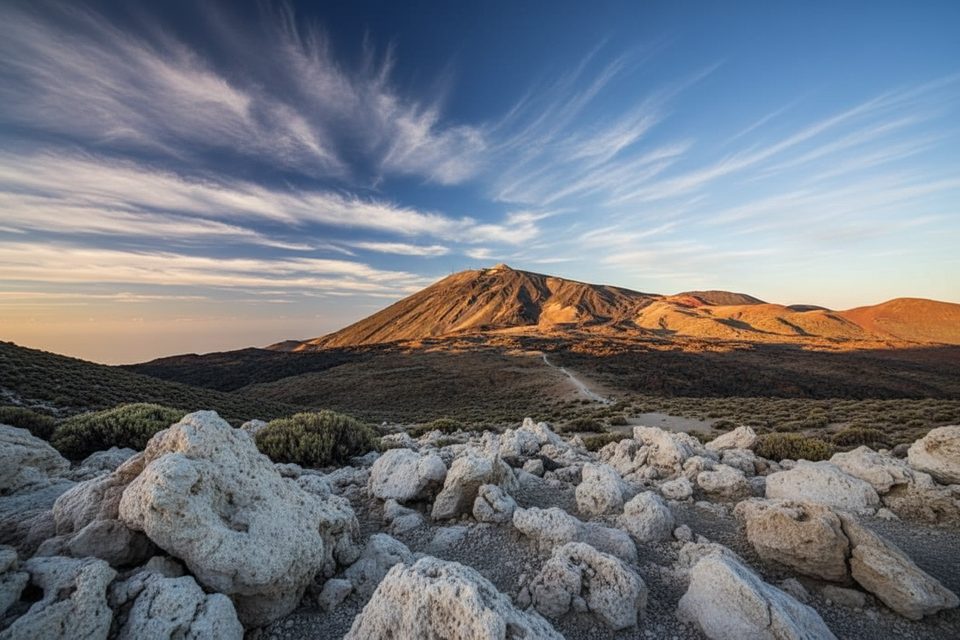
Challenging
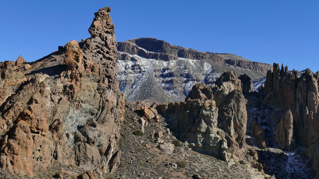
Challenging
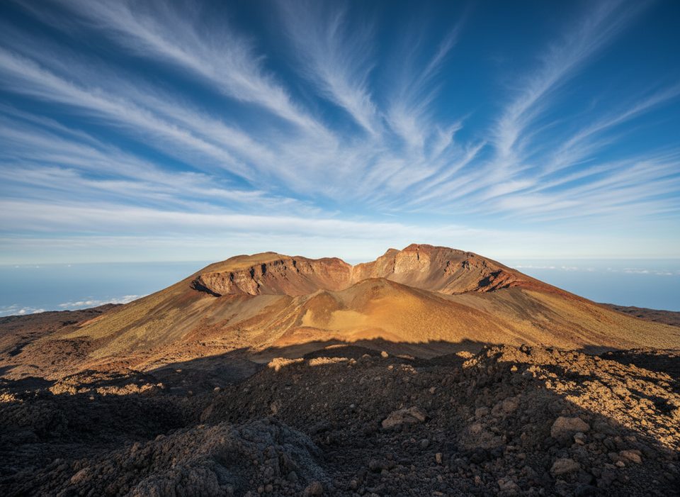
Easy

Parkwolf Tour Guide
