
Place
Challenging
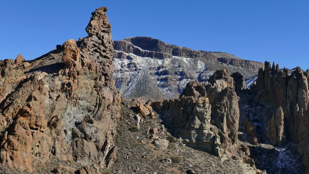
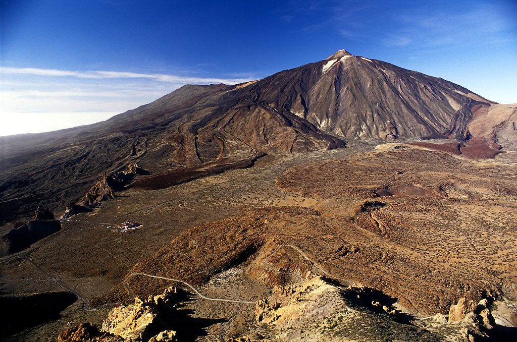
A demanding but non‑technical loop to the flat‑topped summit of Montaña de Guajara delivers the park’s classic panorama of Teide, Pico Viejo, and the Ucanca plain. The standard loop is about 6.9 miles total with roughly 2,100–2,400 feet of gain, taking most hikers 4–5 hours. Expect full exposure, big views, and a whole lot of reddish‑brown lava and pale pumice underfoot.
Start at the Cañada Blanca Visitor Center/Parador area on TF‑21. The loop links signed park paths—most commonly PNT‑5 (Degollada de Guajara) and PNT‑15 (Alto de Guajara)—with a stretch of the GR‑131. Many hikers favor going counter‑clockwise: cruise the gentler opening, then climb the zigzags to the Degollada and the summit, and descend the longer, more gradual Cumbres de Ucanca side. It puts the steep, looser footing on the ascent and saves your knees on the way down.
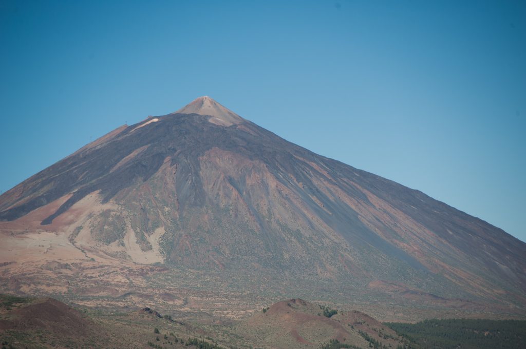
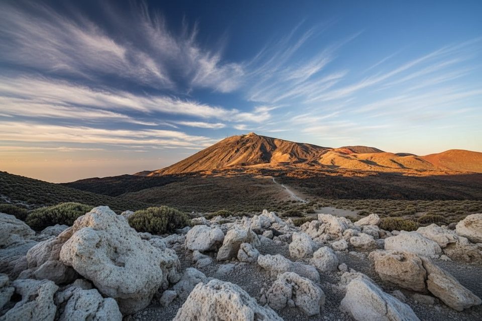
This is textbook Las Cañadas: open, Mars‑like slopes of pumice and blocky flows with virtually no shade. From the broad summit (about 2,715 m), the vista takes in Teide, Pico Viejo, Montaña Blanca, and the amphitheater of the caldera wall. On clear days you can also spot La Gomera and Gran Canaria. Low stone walls and ruins on top are remnants of historic observing camps used during 19th–20th‑century astronomy campaigns.
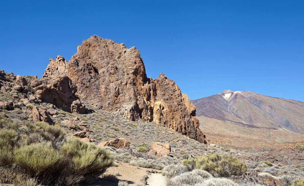
Guajara crowns the southern caldera rim, built of thick phonolitic lava flows interbedded with white pyroclasts—some of the most substantial units along the wall. These outcrops formed roughly 900,000 years ago, with evidence of multiple emission centers before the caldera took shape. The summit ruins are tied to early high‑altitude observing efforts, including work during Halley’s Comet in 1910.
Rated moderate‑to‑hard thanks to altitude, sustained climbing, and loose pumice/gravel. It’s fully exposed and often windy on the summit plateau. Winter can bring snow or ice on shaded ledges. There’s no water and almost no shade—carry plenty, wear sun protection, and use sturdy footwear. Pets are not allowed, and the route isn’t suitable for reduced mobility.
Park at the Cañada Blanca Visitor Center/Parador area; roadside spaces are common and parking is free. Public buses serve the Parador from both north and south of the island. Start early to beat heat and wind, and pick a clear, stable‑weather day. In summer, morning starts are kinder; in winter, check for snow/ice and be ready to turn around if conditions deteriorate.
Park at the Cañada Blanca Visitor Center/Parador area on TF‑21; roadside parking is available and free. Buses also stop at the Visitor Center.
Fully exposed to sun and wind with loose pumice underfoot; no water on route. Winter may bring snow/ice. Pets not allowed. Start early, check the forecast, and consider hiking counter‑clockwise for a safer descent.
Place
Place
Place
Place
Challenging
Moderate
Challenging
Easy

Parkwolf Tour Guide
