
Place
Challenging
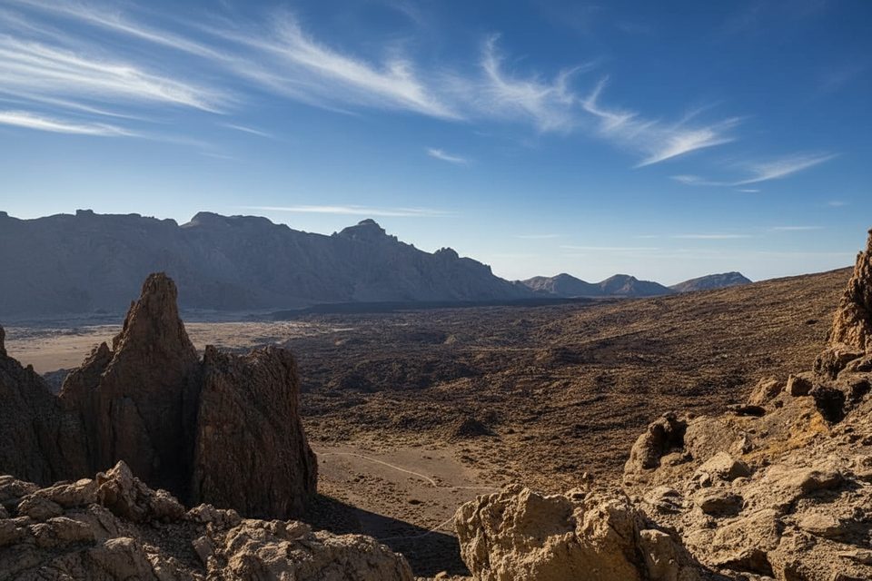
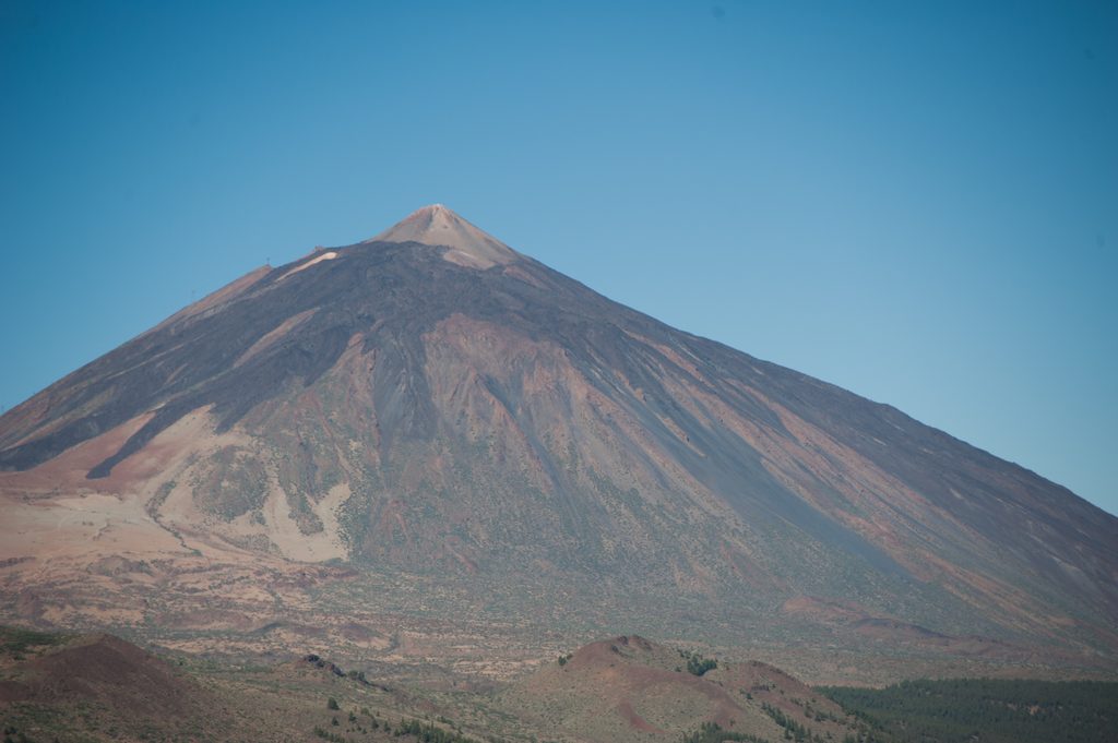
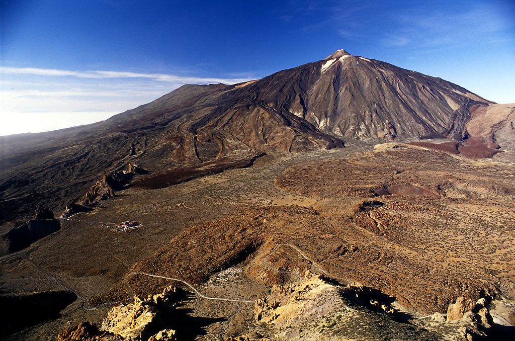
Los Regatones Negros (Trail 23) is a rugged, high‑altitude link that climbs through raw volcanic terrain to the Degollada de Pico Viejo (also called Degollada de Chahorra). It’s a serious workout with thin air and unstable footing, but the scenery is wild and rewarding.
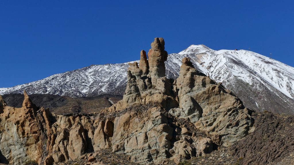
This is a linear, one‑way trail: roughly 3.1 miles (5.0 km) with sustained ascent and a short descent. Expect about 4 hours one way. It connects the upper section of Trail 3 (Roques de García) with Trail 9 (Teide – Pico Viejo – TF‑38). Many hikers either arrange a shuttle, turn it into an out‑and‑back (significantly longer), or fold it into a bigger day that links Trails 12 → 9 → 23 for a long scenic descent.
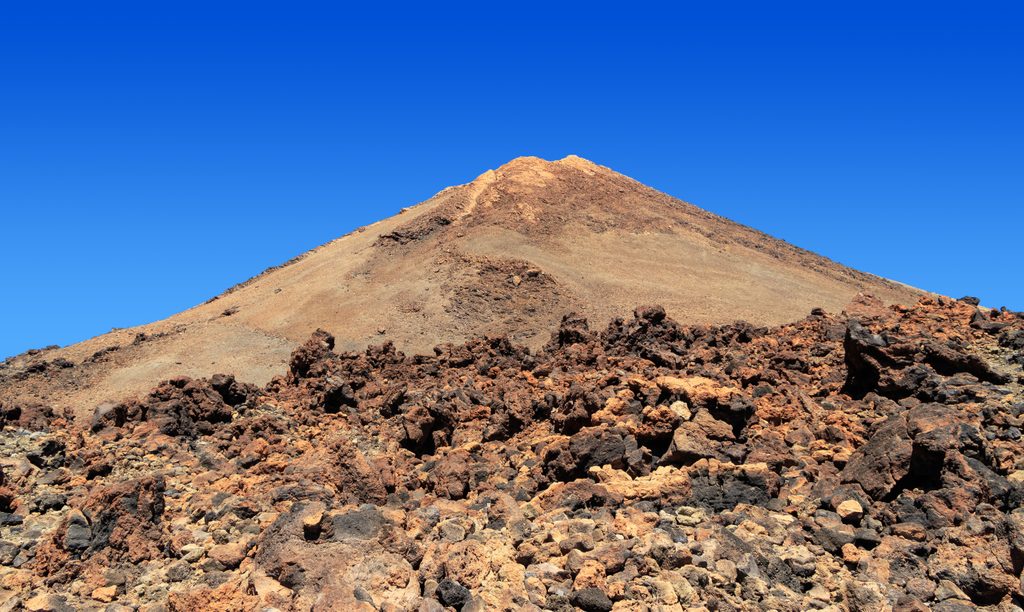
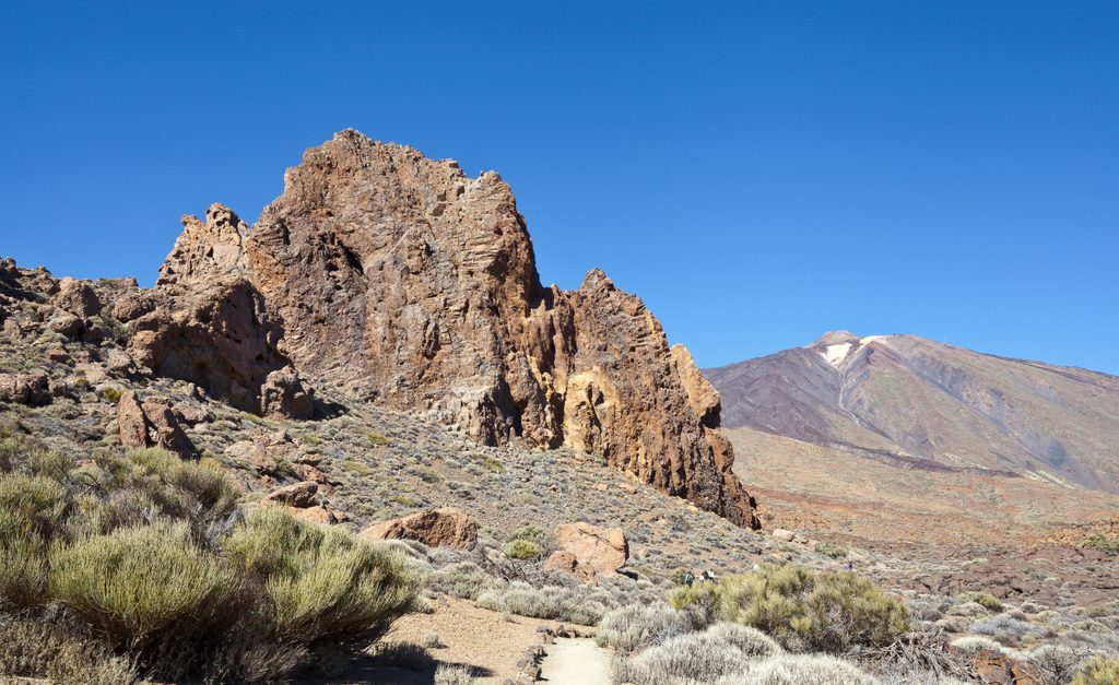
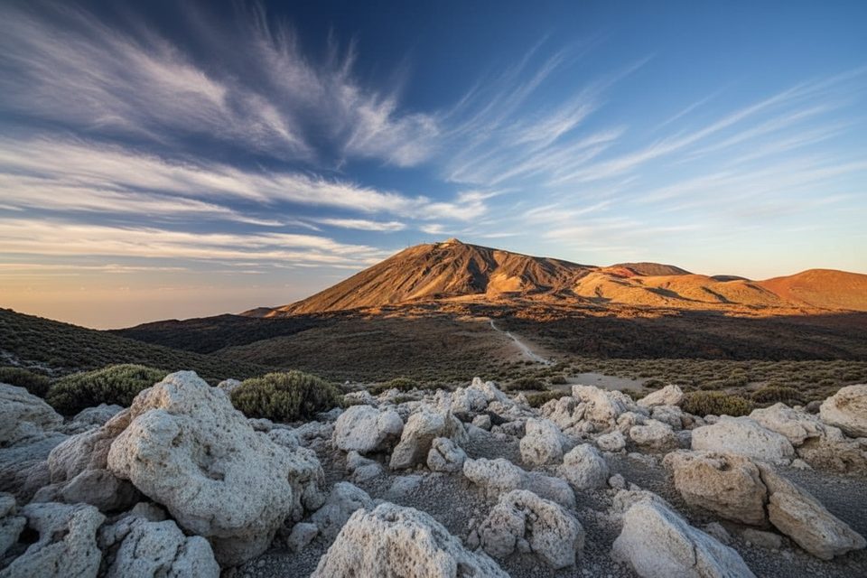
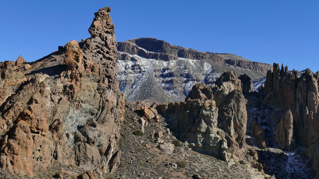
Underfoot, you’ll cross multiple lava types, including sections of loose, sharp, clinker‑like rock that demand careful steps. Vegetation thins dramatically with elevation until only extremely stunted broom survives near the upper reaches. Reaching the Pico Viejo pass delivers wide‑angle views and a front‑row seat to Teide’s volcanic story.
This route is rated High difficulty for good reason: steep grades, high altitude, and tricky footing. If you’re confident on rough volcanic surfaces and like big, quiet landscapes, it’s a gem. If you prefer well‑groomed paths or don’t love prolonged climbing on loose lava, pick another objective.
Because it’s point‑to‑point, logistics can be the crux. Public transport within the park is limited, so plan two vehicles or be ready to backtrack. The extended variant via Trails 12 and 9 is a popular, more scenic but longer undertaking.
No single “best season” is specified. Conditions swing quickly at this altitude, so check forecasts and trail status the day before and the morning of your hike. Start early for cooler temps and steadier weather; this route is typically quieter than the park’s headline hikes, which helps with solitude and photography.
Footing is the main hazard: expect sharp, loose lava that punishes flimsy shoes—wear sturdy boots. Sun, wind, and temperature swings are real; pack layers, sun protection, ample food, and plenty of water. Hike with a partner, stick to marked paths, tell someone your plan, and in an emergency call 112 (the FRESS 112 app is recommended). The trail is listed as not officially approved. Notes about authorizations vary by official source; requirements and occasional closures (including for mouflon control) can change—verify current access on the official park channels before you go. Summit access to Teide is a separate, regulated permit and is not included with any authorization for this trail.
Point‑to‑point link between the upper Roques de García area (Trail 3) and Degollada de Pico Viejo on Trail 9. No specific parking is detailed—plan two vehicles or a shuttle, or hike it out‑and‑back.
High altitude, steep grades, and very sharp, loose lava underfoot; limited shade. Trail status and authorization notes vary—check official channels and weather before you go. In emergencies call 112; consider the FRESS 112 app.
Place
Place
Place
Place
Challenging
Moderate
Challenging
Challenging

Parkwolf Tour Guide
