
Place · 0 mi away
Easy
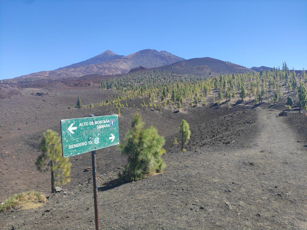
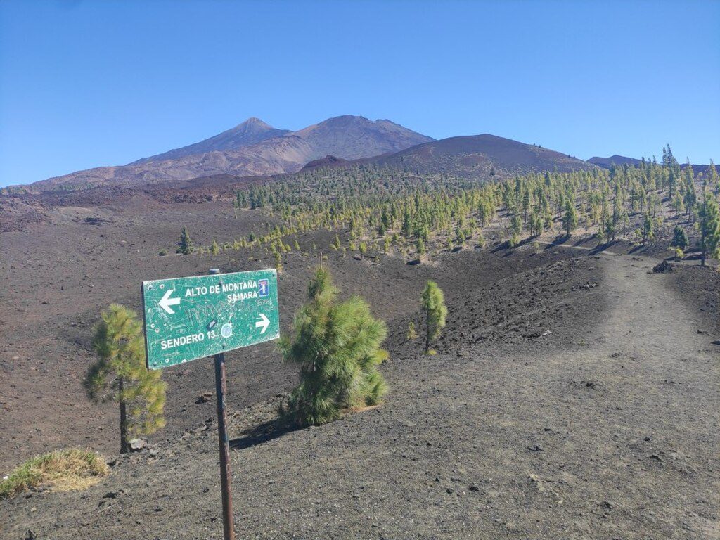
This is a relaxed 5 km TOTAL loop over young volcanic terrain with roughly 230 m of ascent and a typical outing time of about 2 hours. It’s signed as Trail 13 and starts from the Mirador de Samara pull-out. Expect easy to easy‑moderate effort overall: the numbers are gentle, but short cindery climbs and loose gravel keep you attentive.
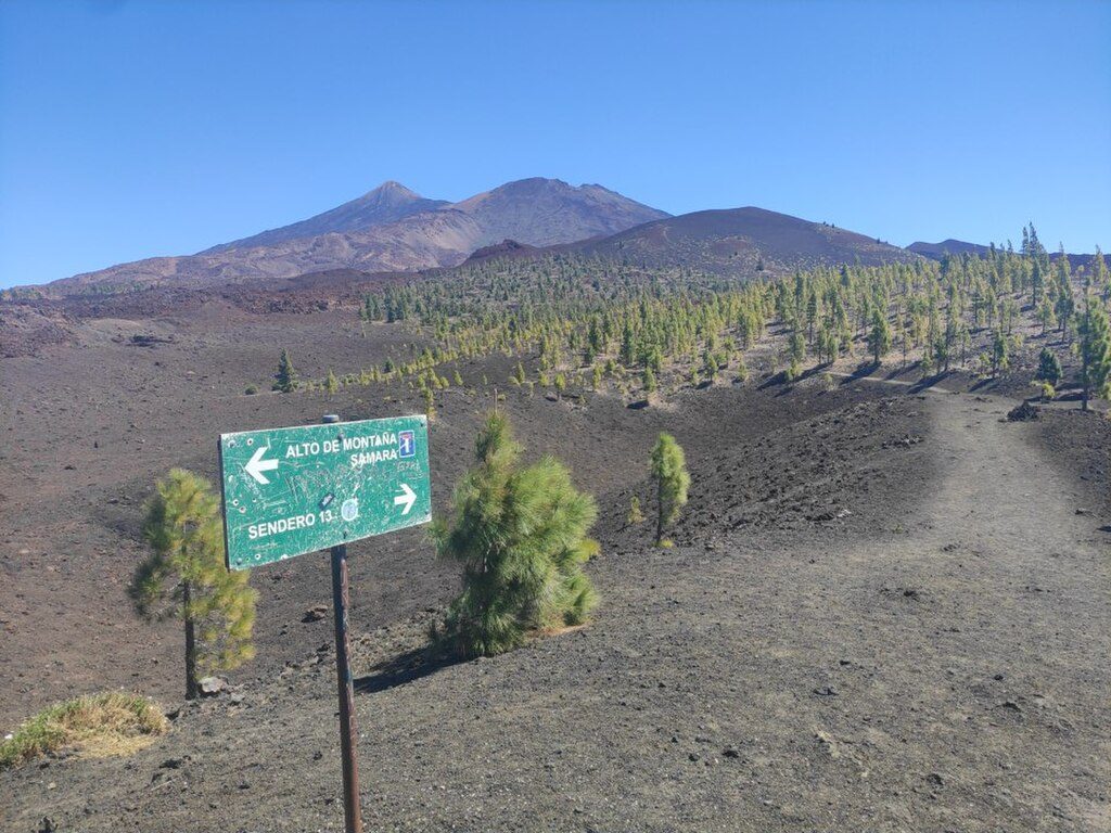
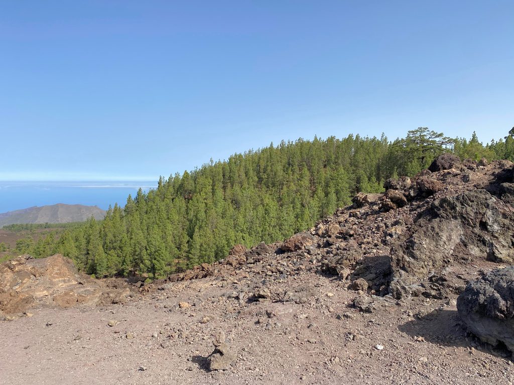
From the Mirador, follow signs for Trail 13. Most hikers prefer the clockwise direction. Early on, a short signed spur lets you pop up to the Samara cone for wide‑open panoramas before rejoining the loop. Waymarking is clear, with occasional junctions where longer routes branch (S‑38 / S‑9); stick to 13 to keep it a tidy circuit. Underfoot is mainly black lapilli and cinder with patches of lava fields and scattered Canary pines—footing can feel like walking on ball bearings in spots.
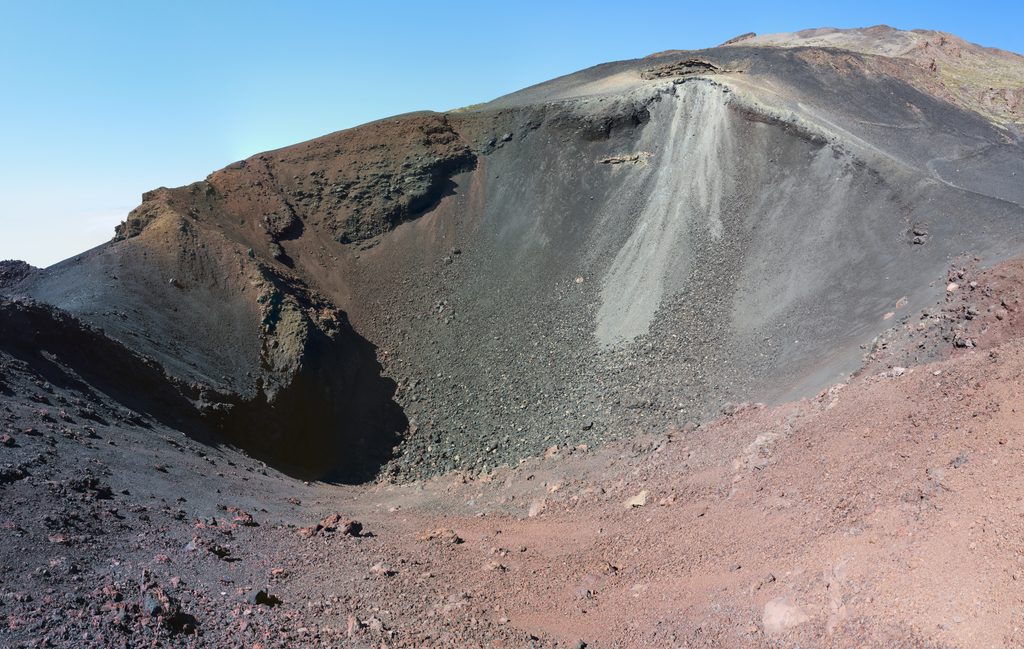
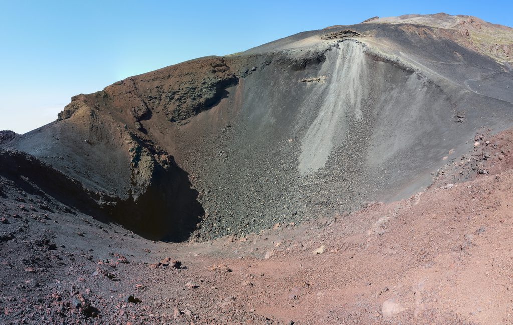
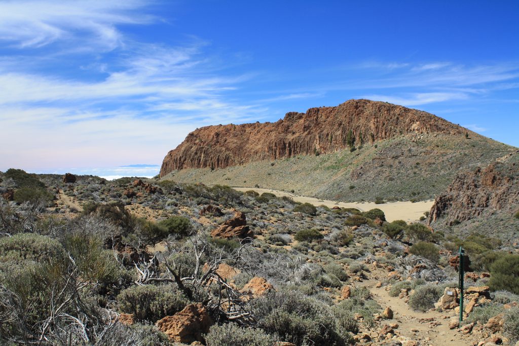
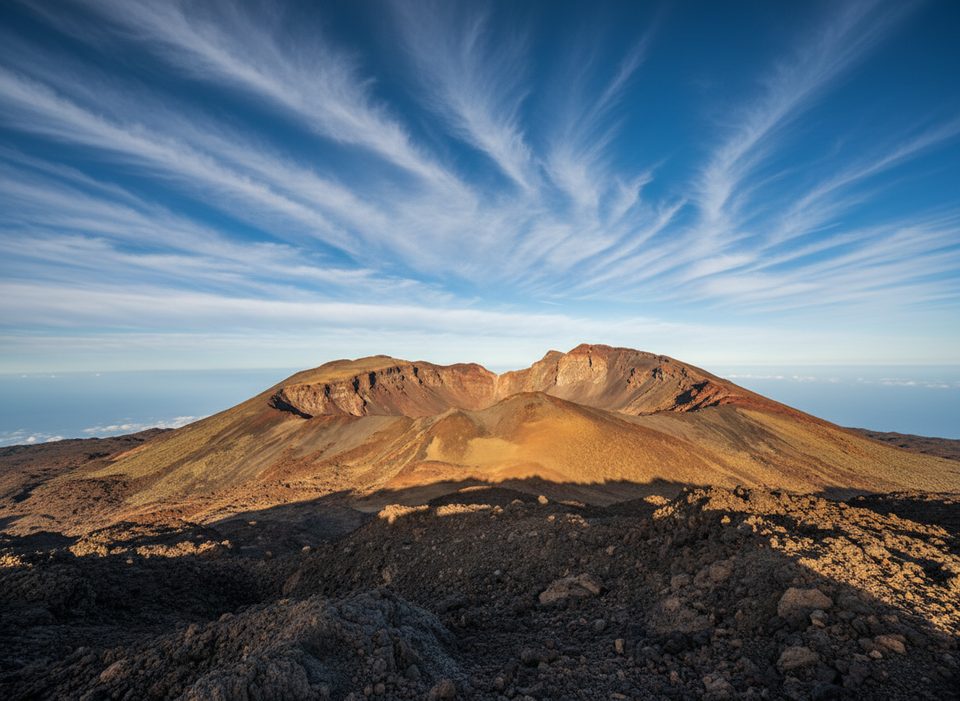
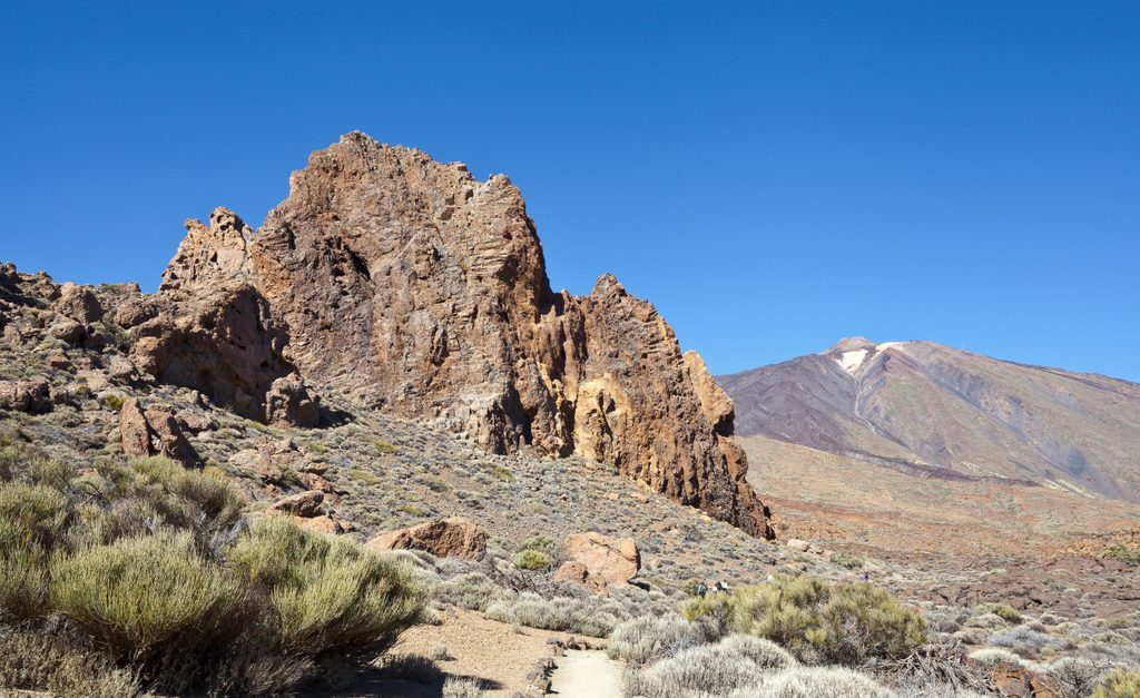
Views are the headline: Teide and the older Pico Viejo dominate the skyline, and you may also spot features like Narices del Teide and Montaña Reventada. The landscape is a textbook of Canary volcanism—volcanic cones such as nearby Montaña Mostaza and Arenas Negras punctuate the horizon, and both rough ‘aa’ flows (malpaís) and smooth, ropy pahoehoe (lajiales) appear alongside blocky flows. Rocks range from dark basalts to greenish‑bluish phonolites, with intermediate trachybasalts. Pyroclasts (ash, lapilli, scoria, volcanic bombs) blanket slopes. Teide’s summit fumaroles tint and alter the rock, while wind and rare water events sculpt ravines and smooth surfaces; even Sahara‑borne sands can influence the scene. Wildlife is sparse but keep an eye out for kestrels overhead and quick lizards on warm stones.
Though rated easy, altitude around 2,000 m, constant sun, wind exposure, and loose cinders can add bite. Wear grippy shoes; gaiters help keep lapilli out. Bring water, sunscreen, a hat, and a wind layer—temperatures swing, and winter can bring frost or occasional snow. Cell coverage can be patchy, so download an offline map before you drive up.
No permit is required to hike Trail 13 as described. The route is clearly marked; please stay on trail to protect fragile volcanic soils and slopes.
Arrive early or late to beat the small parking crunch and to score softer light. Many days sit above the cloud layer; mornings can be dramatic, while afternoon light flatters views toward Teide. With minimal shade year‑round, plan for strong sun even in cooler months.
Small pull‑out lot at Mirador de Samara on the TF‑38; fills quickly—arrive early or late.
High sun and wind exposure at ~2,000 m; very little shade. Loose volcanic cinders can be slippery. Cell coverage is patchy—download maps and stay on marked Trail 13.
Place · 0 mi away
Place · 0 mi away
Place · 2.6 mi away
Place · 2.7 mi away
Challenging · 2.6 mi away
Easy · 5.3 mi away
Easy · 5.3 mi away
Moderate · 6.5 mi away

Parkwolf Tour Guide
