Pros & cons
PROS
- Signed 4–5.5 km loop with sweeping Teide and Pico Viejo views
- Generally quieter than the park’s hotspots and superb at sunset
- Handy small parking at Mirador de Sámara on TF‑38
CONS
- No services at the trailhead—no restrooms or water
- Exposed terrain with loose volcanic gravel and little shade
Overview
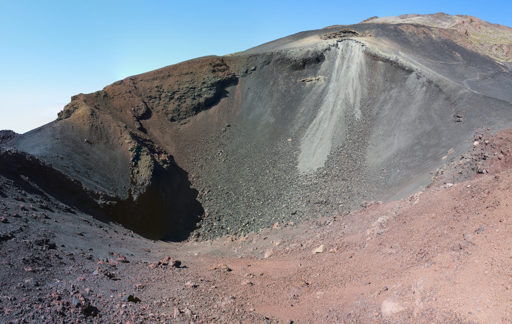
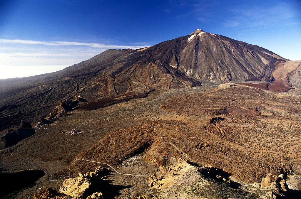
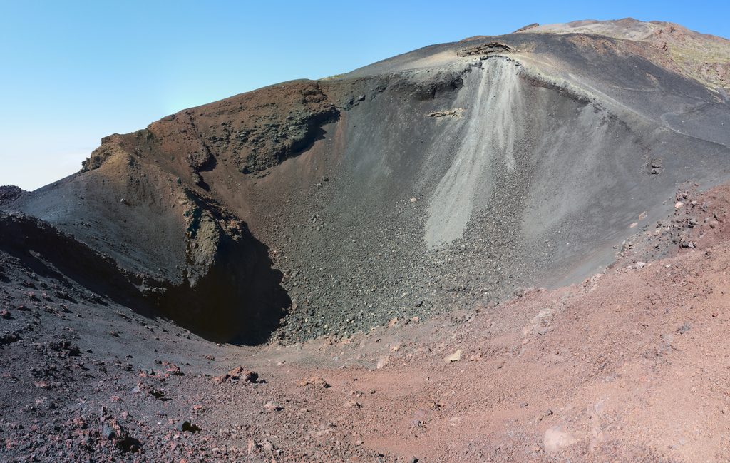
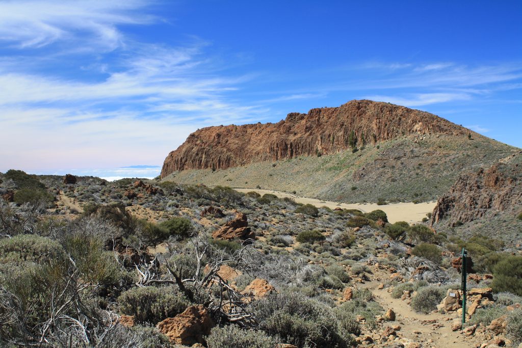
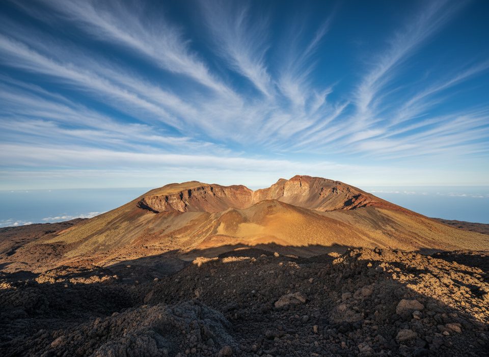
Montaña de Sámara is the mellow, scenic loop you do when you want Teide‑scale views without the crowds or grind. The signed S‑13 circuit (about 4–5.5 km, 1–2 hours, easy) strings together ash plains, black lava boulders, and bands of red rock, with constant sightlines to Pico Viejo and Mount Teide. It’s an underrated corner that shines at golden hour.
The Route (S‑13)
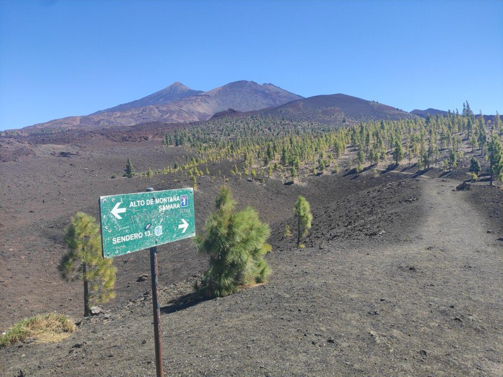
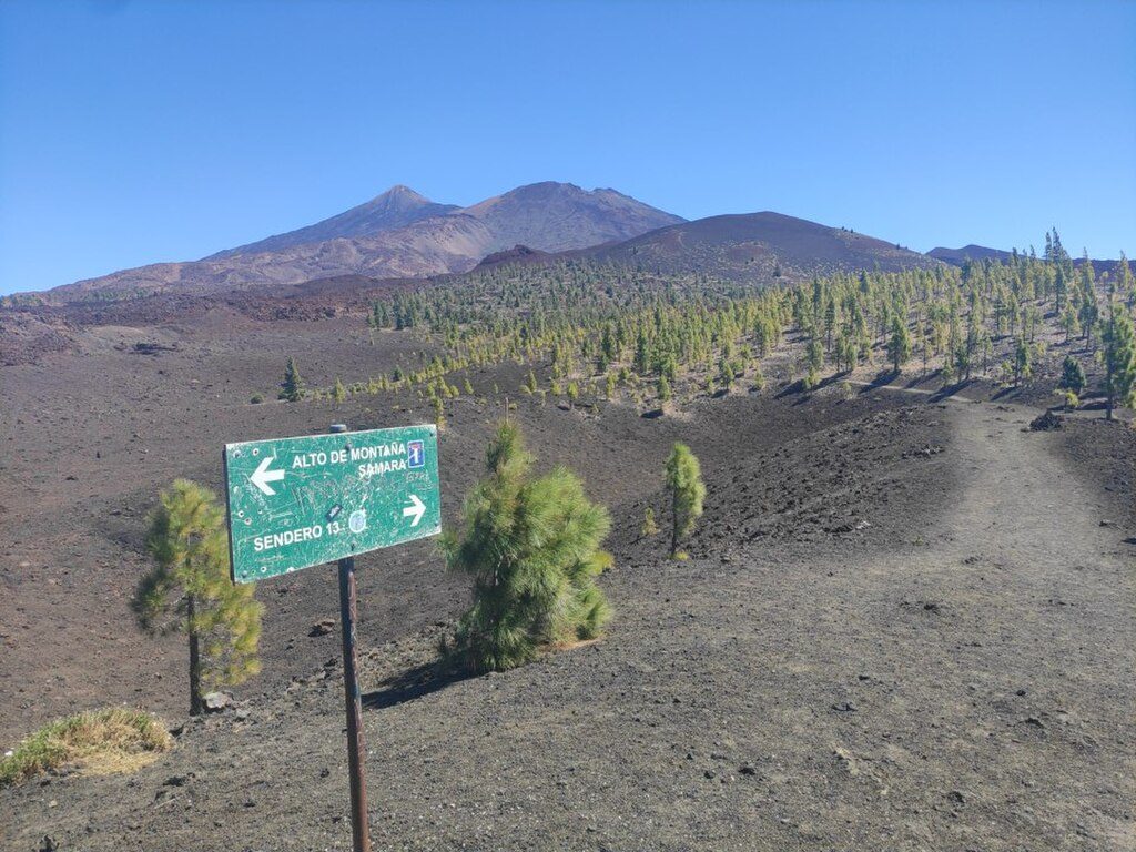
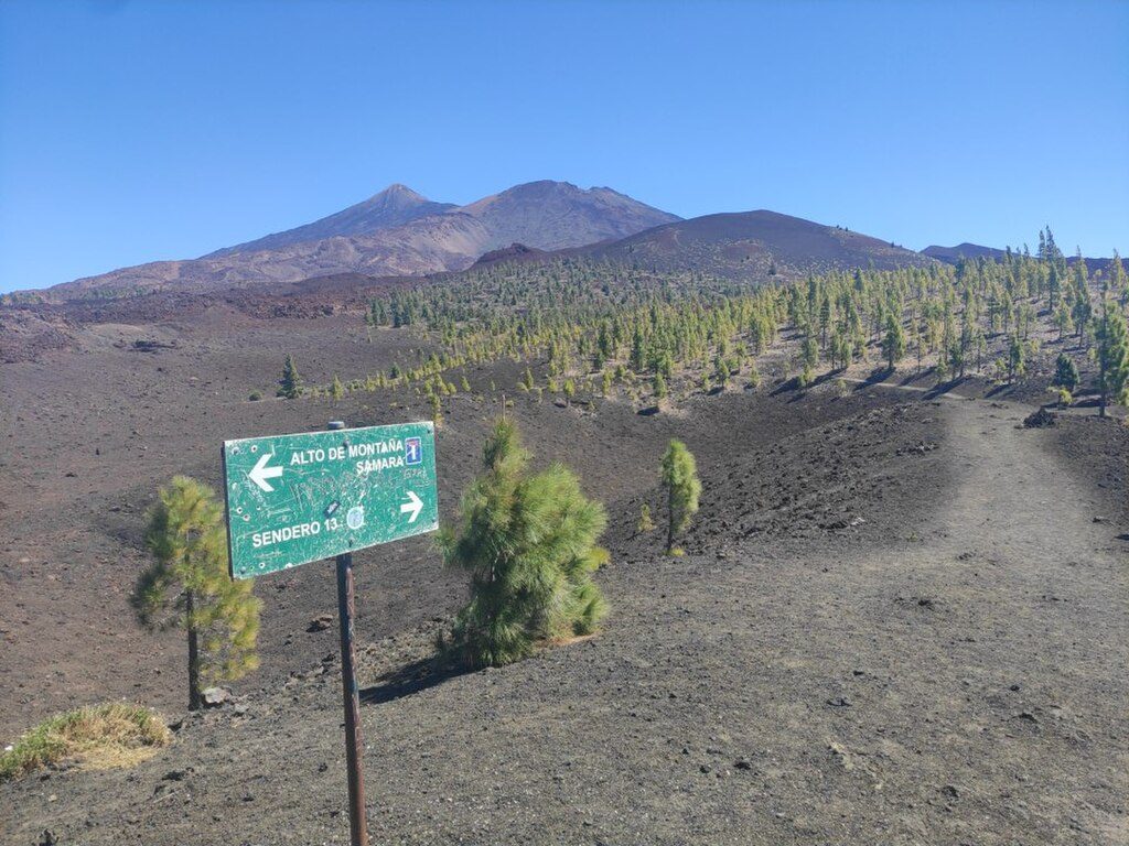
- Start at Mirador de Sámara’s small parking on the TF‑38. A flat path leads to a signed spur for the “Alto de Montaña Sámara.”
- Take the short, steeper push to the summit for the big panorama, then rejoin the main loop.
- Continue clockwise around Montaña de la Botija over gently undulating volcanic ground and close the loop back at the mirador.
- Waymarks may point toward Pico Viejo/Abeque—stick with the Abeque/Sámara signs for the standard loop.
Landscape & Wildlife
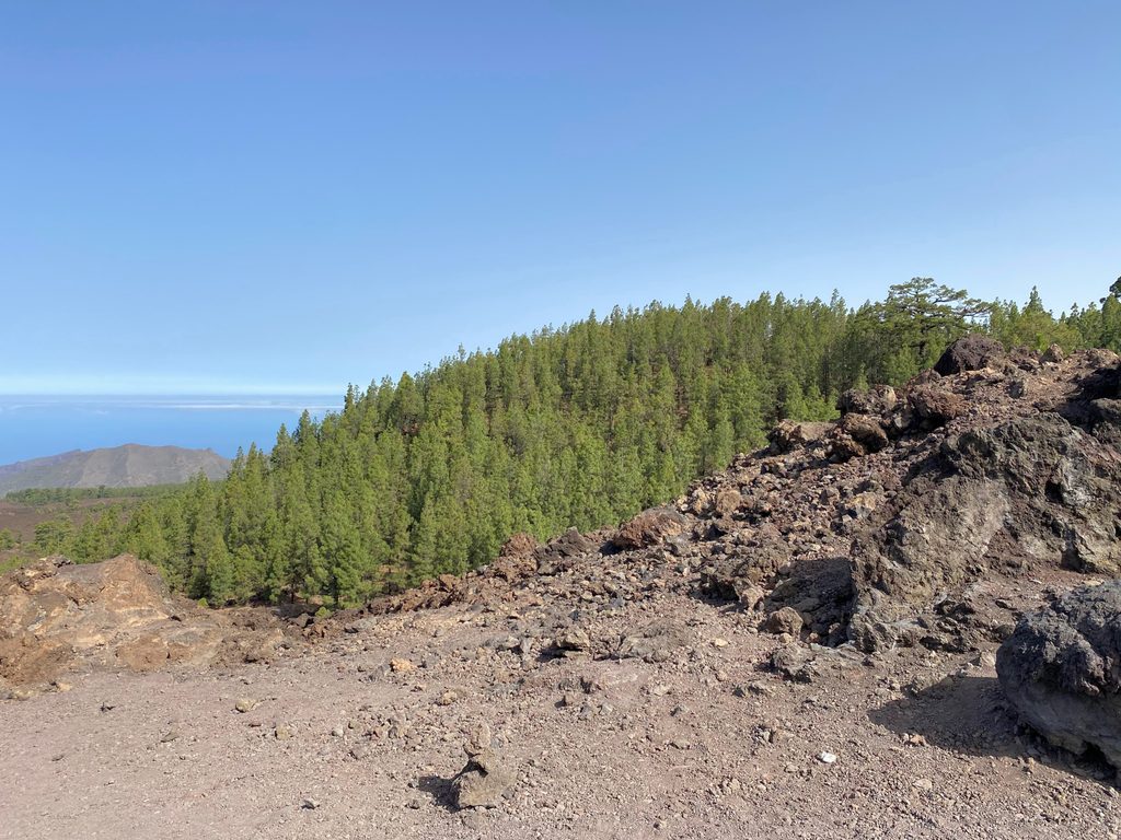
You begin near the treeline with scattered Canary pines before emerging onto high, open volcanic terrain: ash‑laden fields, cinder, and jagged lava. Wildlife is subtle here—expect hardy shrubs, small birds, and invertebrates adapted to the dry, windy altitude. The reward is the sense of space and those unobstructed Teide and Pico Viejo views.
Difficulty & Variants
The loop is easy overall with ~230–285 m of total gain, but the summit spur is loose underfoot. Options are simple: do the out‑and‑back to the summit and return, or complete the full loop around Montaña de la Botija (most people’s pick).
Logistics
- Trailhead/parking: Mirador de Sámara on TF‑38; the lot is small and basic.
- Services: None at the trailhead—plan bathroom and water stops elsewhere in the park.
- Transport: The usual park bus doesn’t reach this spot; self‑drive is the practical choice.
- Season: Good year‑round; many prefer outside summer for milder temps and fewer visitors.
Safety & Gear
This is high, exposed country. Bring 1–1.5 L of water per person, sun protection, and a wind layer. Wear grippy shoes for the gravelly spur. Stay on signed paths to protect fragile volcanic soils. If you’re timing it for sunset, carry a headlamp for the walk back.
Best Time to Visit
Sunrise and especially sunset paint Teide and Pico Viejo in warm tones and the crowds are lighter than at the park’s marquee viewpoints. Aim for late afternoon into golden hour; arrive a bit early as the small lot can fill. Clear evenings invite lingering for stargazing—just be ready for quick temperature drops.
Where it is
28.2667, -16.7260Tips for Montaña de Samara
- 01Start at Mirador de Sámara on TF‑38 and follow S‑13 Abeque/Sámara signs clockwise.
- 02Do the short summit spur first for the best vistas, then finish the loop.
- 03Bring 1–1.5 L of water, sun protection, and a wind layer—there’s no shade or services.
- 04Wear grippy shoes; the summit spur has loose volcanic gravel.
- 05For sunset, arrive early for parking and pack a headlamp for the walk out.
Amenities
Near Montaña de Samara
All places →All trails →
0 mi awayMirador de SámaraSunset-and-stars loop with lava fields and big Teide viewsTrailhead · Parking
0 mi awayMontaña de Samara LoopShort, cindery loop with big Teide and Pico Viejo viewsEasy · 3.1 mi · 2 hr
2.6 mi awayNarices del TeideRoadside perch over Pico Viejo and the 1798 lava ventsPullout · Parking
2.6 mi awayNarices del Teide (Chahorra)Steady climb on loose lava to 1798 vents and island panoramasChallenging · 7.9 mi · 5.5 hr
2.7 mi awayMirador de Los PoleosQuick pull‑off for sunset over clouds and TeidePullout · Parking
3.3 mi awayCráter del Pico ViejoA vast, multicolored crater with island-to-island viewsScenic Viewpoint
5.3 mi awayLa Fortaleza TrailTiny high‑altitude stroll to sweeping north Tenerife viewsEasy · 0.3 mi · 25 min
5.3 mi awaySendero 12 Mirador de Pico ViejoBig views of Pico Viejo and distant islands for minimal effort.Easy · 0.9 mi · 45 min