
Place
Challenging
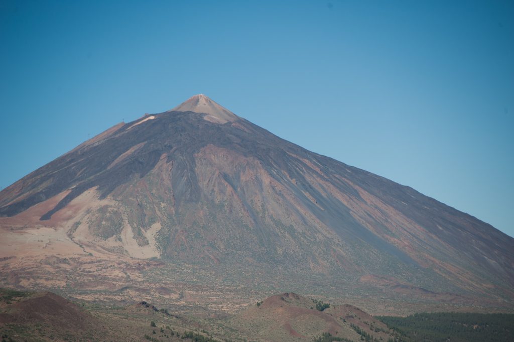
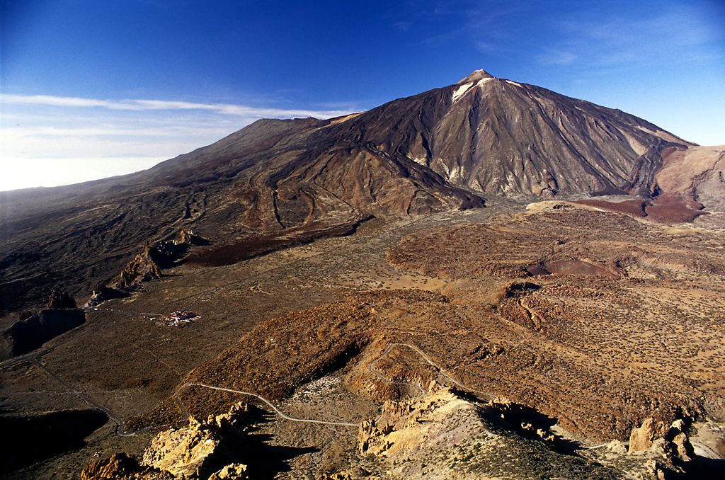
This is Teide’s big descent: a demanding, point‑to‑point 9.3 km (5.8 mi) route from La Rambleta down to the Las Narices del Teide viewpoint on the TF‑38 side. Plan roughly 5 hours, one way. You’ll start by walking the short connector to the Pico Viejo Viewpoint (Trail 12), then commit to the long drop that skirts the crater and ends near Lomo de Chío. It’s rugged, remote‑feeling, and all about volcanic drama and horizon‑wide views.
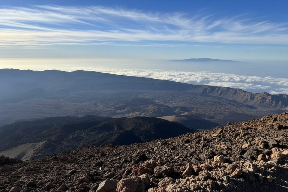
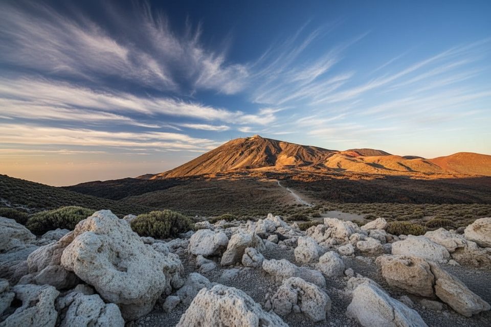
The trail fringes the vast, multicolored rim of Pico Viejo and crosses young black lava and loose pumice shaped by historic eruptions. You’ll look straight into the landscape created by the 1798 event known as Las Narices del Teide, a tidy line of craters that marks the route’s lower end. From the upper viewpoint, expect big‑sky panoramas; on clear days the silhouettes of El Hierro, La Gomera, and La Palma can appear, with Teide’s cone towering behind you. Along the short viewpoint approach it’s common to notice sulfur smells and small fumaroles. Keep an eye out for the darker “Lavas Negras” and older tongues of lava that the path threads between.
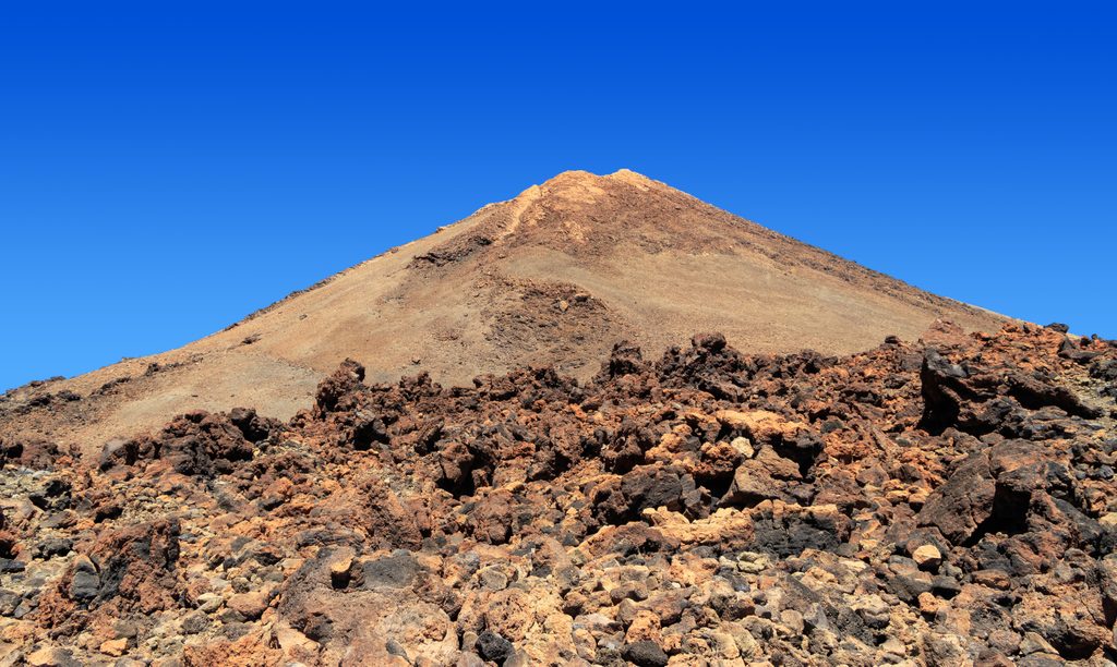
Right after La Rambleta, the tread crosses broken, dark lava where the path can feel barely defined—this early section is the trickiest underfoot. The route then swings below Pico Viejo’s southern flank, passes La Degollada de Chahorra, and drops steeply toward the Narices craters. Underfoot it’s uneven and often loose. Altitude is real here (you begin near 3,500 m), and the net descent is massive—expect tired quads and careful footwork. This is not a loop; unless you’ve arranged a pickup on TF‑38, turning it into an out‑and‑back would be an extremely strenuous re‑ascent.
There’s no single “best season” given for this route. Aim for clear, calm weather to cash in the views, and always check current conditions and potential closures before you go. Temperatures and wind can change fast at this elevation. Start early and budget daylight carefully—this is a long one‑way descent.
No permit is required for this trail. Hike with a companion, stay on marked paths, and pack like you mean it: plenty of water, food, sun protection, warm/waterproof layers, sturdy footwear, and a charged phone. Inform someone of your plan and timing, and carry out all your rubbish. Pets aren’t allowed on these trails. For incidents, report to the Environmental Department of the Island Council of Tenerife at 922239090.
Linear route from La Rambleta to TF‑38 near Lomo de Chío; plan transport or pickup at the TF‑38 end.
High‑altitude, committing descent starting near 3,500 m over rough lava and loose pumice; thin air and sulfur smells/fumaroles near the viewpoint; weather and access can change quickly; no pets; arrange pickup at TF‑38; report incidents to 922239090.
Place
Place
Place
Place
Challenging
Moderate
Challenging
Challenging

Parkwolf Tour Guide
