
Place
Easy
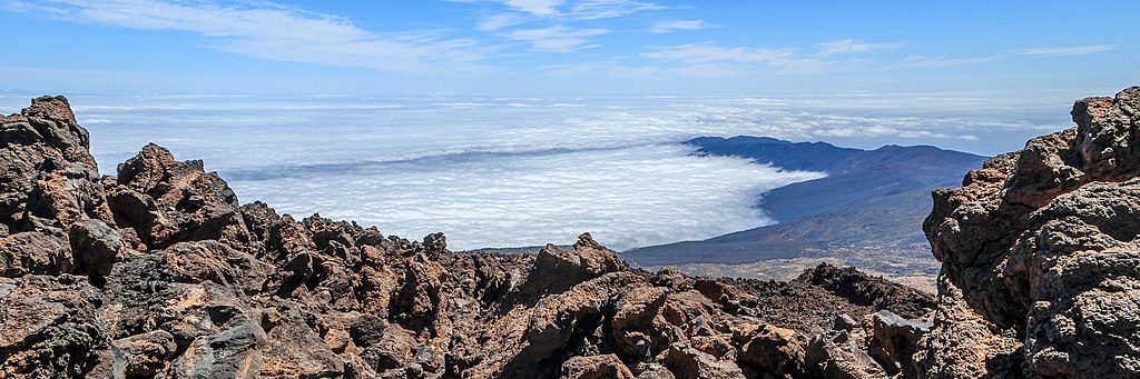
This is the park’s high‑altitude “easy win”: a short, prepared path from La Rambleta (the upper cable‑car area) to the Mirador de La Fortaleza. Official figures put the walk at roughly 0.25 miles one way (about 0.5 miles total) with about 25 minutes of moving time. Some listings show a slightly longer distance because they measure one‑way vs. out‑and‑back differently, but the experience is the same: brief walk, big payoff.
From La Rambleta, follow the signed path toward Mirador de La Fortaleza. The surface is a stone‑paved, volcanic footway with gentle ups and downs over uneven lava. You’ll be between roughly 11,600 and 11,680 feet the whole time, so even this tiny stroll can feel punchy. Good footwear helps on the knobbly rock.
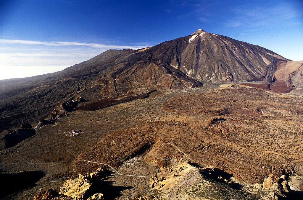
The viewpoint frames the red, rugged cliffs of La Fortaleza—a striking phonolitic formation created by very viscous lava piling up near its vent. On clear days you’ll look across the park’s north side and toward the island’s east. When the trade winds set up, this is a classic perch for the “sea of clouds,” a dramatic cloud deck pooling along the north slope.
Walking Sendero 11 itself does not require authorization. Most visitors ride the cable car to La Rambleta; you can also hike up via the Montaña Blanca route (Trail 07) and connect here. Note: since January 2025, the island authority introduced reservations for certain high‑mountain routes, including the section of Trail 07 that reaches La Rambleta. The separate summit path (Trail 10) still requires its own permit.
There’s no set season—go when weather and cable‑car operations allow. Views are best on clear days; the cloud sea can be a show or a spoiler depending on its height. Winter at 3,500+ meters feels brutally cold and windy despite sunshine, so layer up.
Yes—minimal effort for maximum scenery and a front‑row look at Teide’s phonolitic geology. It’s not a “hike” in the classic sense, but as a high‑alpine viewpoint walk, it over‑delivers for the time invested.
Trailhead is at La Rambleta (upper cable‑car station); there is no vehicle access to the start. Ride the cable car up or hike Trail 07 from Montaña Blanca to reach it.
Very high altitude, cold wind, and uneven lava paving. No authorization for this spur, but reservations apply if you hike up via Trail 07; summit Trail 10 requires a separate permit.
Place
Place
Place
Place
Challenging
Moderate
Challenging
Challenging

Parkwolf Tour Guide
