
Place
Moderate
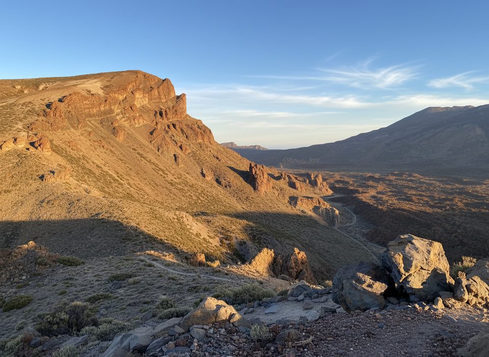
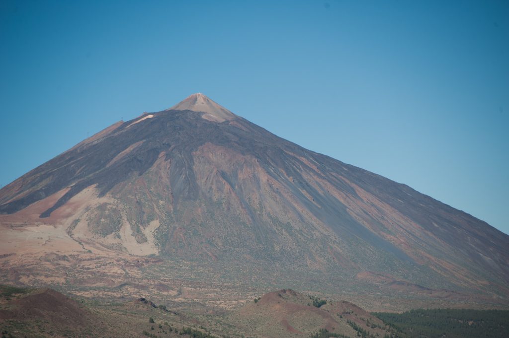
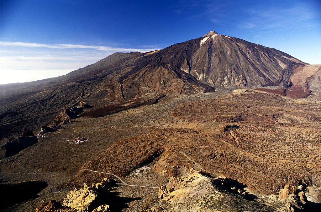
Siete Cañadas is Teide’s classic long traverse: a 10.3‑mile (16.6 km) one‑way path that runs along the eastern floor of Las Cañadas under the towering caldera wall. It’s a straightforward walk with huge views of Teide and wide‑open volcanic scenery. Official materials rate it low difficulty; some call it intermediate—think easy footing, long distance, full exposure.
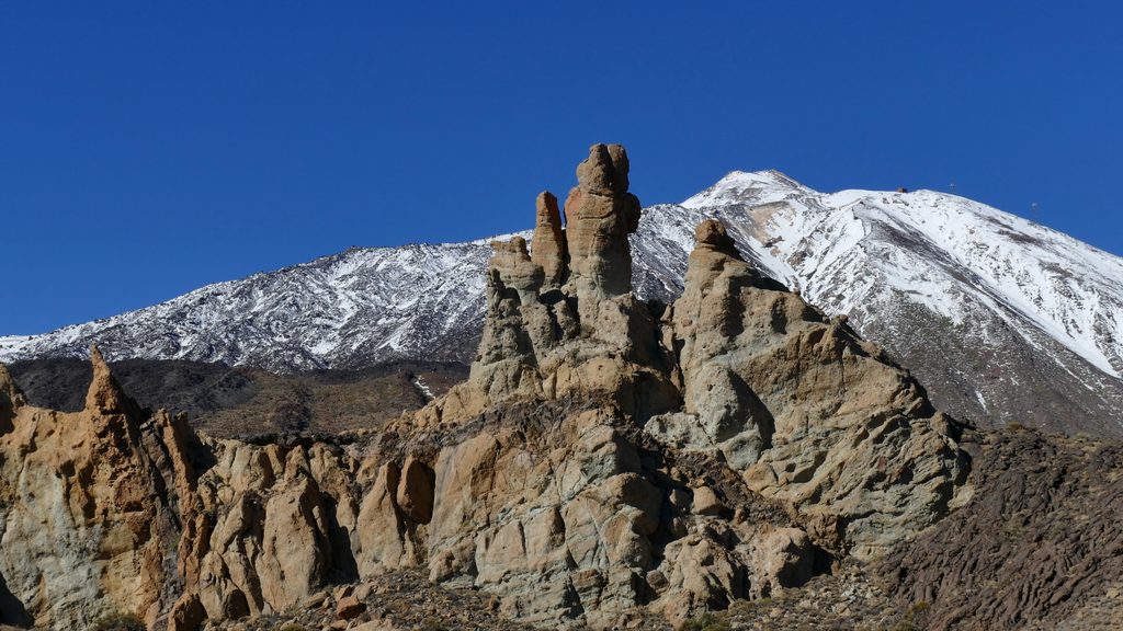
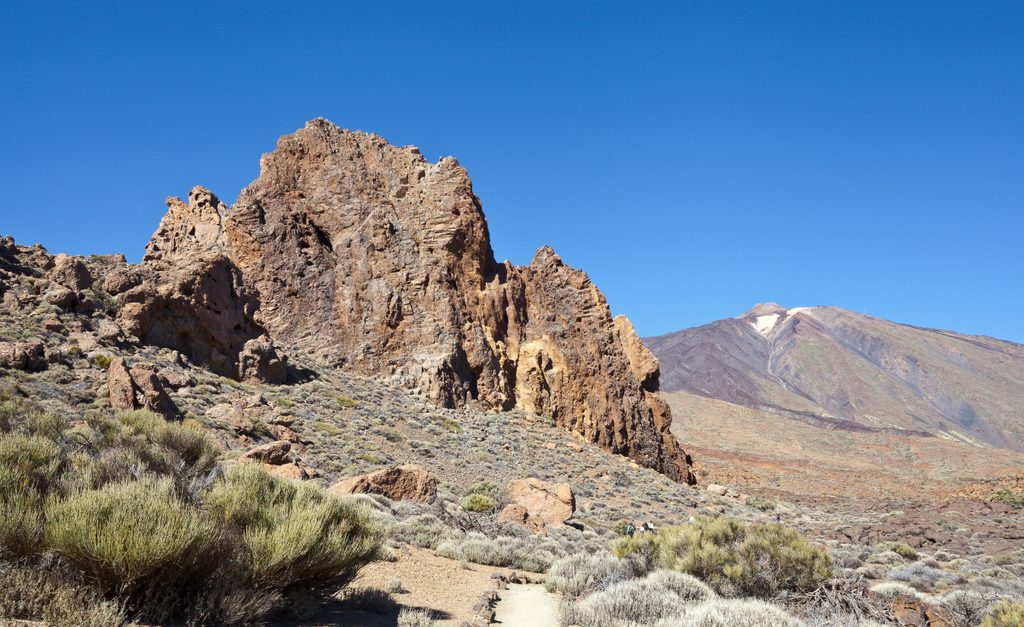
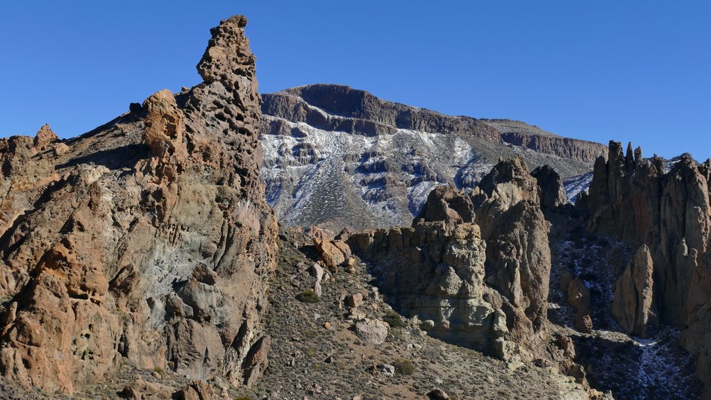
Most hikers start at the El Portillo Visitor Centre and finish at the Cañada Blanca Visitor Centre by the Parador. The track threads seven named “cañadas” (Diego Hernández, las Pilas, la Angostura, la Grieta, Montón de Trigo, la Mareta, and el Capricho). Expect constant Teide panoramas, whimsical rock forms near El Capricho, and color‑banded cliffs that tell the park’s volcanic story.
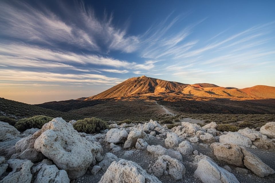
It’s a broad dirt/ash track with gentle ups and downs at roughly 2,045–2,212 m (you’ll accumulate a few hundred meters of ascent over the day). There’s no shade and no water taps on the route, so bring plenty and protect yourself from the high‑altitude sun. Underfoot is generally non‑technical pumice and dirt—comfortable for steady cruisers.
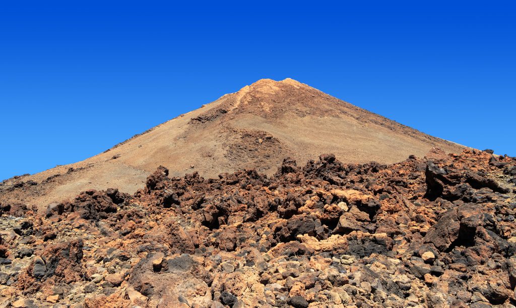
You’ll pass black basaltic flows (notably near Cañada de Diego Hernández) and striking yellowish layers formed by explosive, silica‑rich eruptions. In late spring/early summer, look for the island’s showy bugloss blooms (including red and blue tajinastes) lighting up the otherwise stark desert palette.
This corridor intersects several signed routes (1, 2, 5, 16, 31) and the GR‑131, plus a short spur 4.1 near El Portillo Alto that feeds into Trail 4. If you only want a sampler, short circuits near El Portillo let you taste the scenery without committing to the full traverse.
Cooler months are the sweet spot. November through June sees the most pleasant temperatures and, in spring, flowers. Summer (especially May–August) is very sunny and dry, and winter can bring cold snaps or occasional snow. Start early for softer light and milder temps; avoid the midday furnace effect.
One‑way is the move: use public buses that stop at both visitor centres or set up a two‑car shuttle. No permit is required. Pack generous water, sunscreen, hat, and layers for big temperature swings. If you want shade, this isn’t your trail; if you want a relaxed, geologically rich desert crossing with giant views, it’s spot on.
Park at El Portillo Visitor Centre (north end) or at Cañada Blanca Visitor Centre by the Parador (south end); both have parking and bus stops for one‑way logistics.
High UV and full exposure at ~2,050–2,210 m; no shade or water; large day with temperature swings—carry ample water, sun protection, and layers; verify bus schedules if not shuttling; pets are not allowed.
Place
Place
Place
Place
Challenging
Moderate
Challenging
Challenging

Parkwolf Tour Guide
