
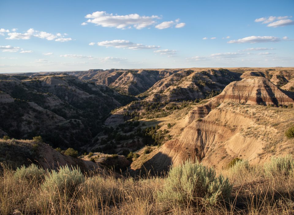
Place · 0.7 mi away
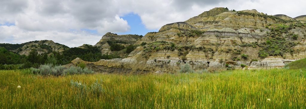
Caprock Coulee Nature Trail is the first, easy-to-love slice of the park’s signature loop in the North Unit. It runs 0.8 miles one way through a coulee and pockets of rare shade before a sign marks the end of the nature trail—turn around here for a 1.6‑mile out-and-back, or continue onto the full 4.1‑mile loop if conditions are dry and you want bigger views.
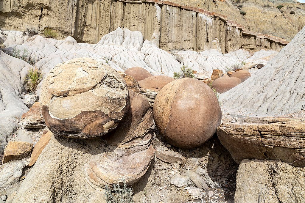
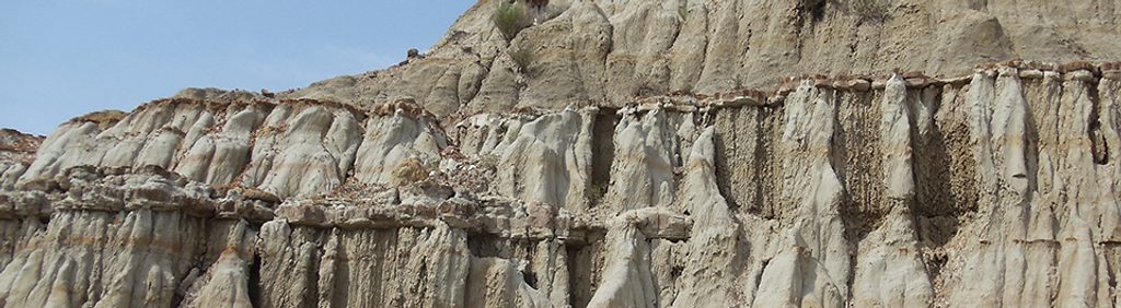
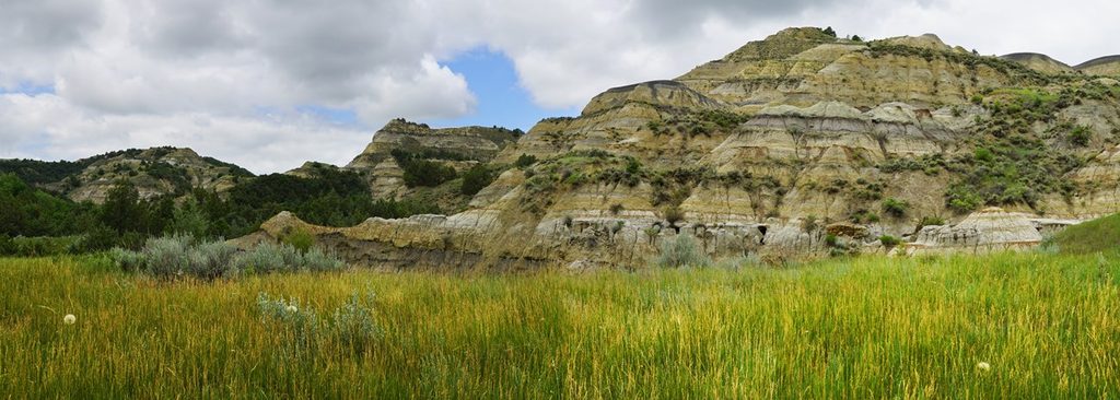
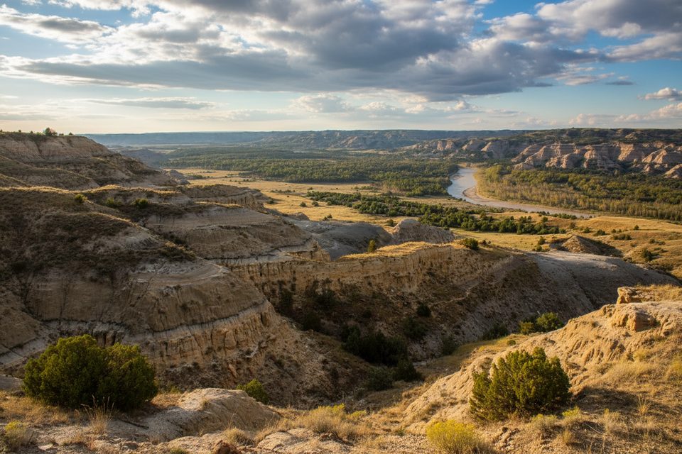
This is a field lesson in badlands science without feeling like homework. Numbered posts match an interpretive guide that calls out features as you pass them: coulees carved by flash floods, rivulet erosion striping the buttes, iron-hardened caprock that slows erosion, thin black seams of lignite, blue‑grey bentonite clay (treacherous when wet), light-colored petrified wood, and textbook slump and piping formations. North-facing slopes shelter juniper and a surprisingly lush, wooded feel; south-facing slopes flip to sun-baked, desert-like plants. Expect sagebrush, prickly pear, rabbitbrush, green ash, and colorful lichens.
Tracks and scat tell the story here—bison, deer, and coyotes commonly leave signatures near water. Actual sightings of bison are frequent in this area, bighorn sheep show now and then, and rattlesnakes are possible on warm days. Give wildlife space and keep your eyes where you’re stepping.
Terrain is varied but friendly on the nature trail segment: coulee bottoms, short ups and downs, and occasional narrow tread. After rain or snowmelt, bentonite turns into ice-rink mud—great day to keep this as an out-and-back and skip the higher, steeper loop. Shade is limited once you leave the north-facing slopes, so bring water and sun protection.
The trailhead sits along the North Unit Scenic Drive, about six miles west of the visitor center, with a small parking area. Wayfinding is straightforward: at the initial fork, go left for the Nature Trail (right heads to Buckhorn Trail). Restrooms are not specifically provided at this trailhead; plan ahead. There’s no potable water on the trail.
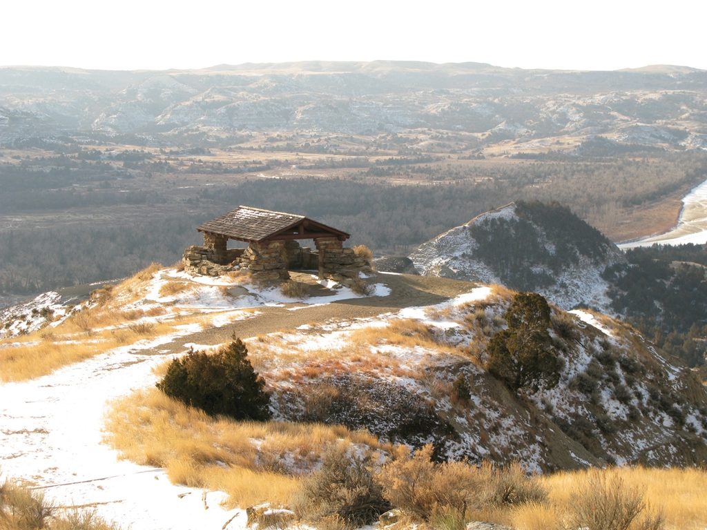
Most hikers who do the full loop prefer counter‑clockwise: you’ll tackle the climb earlier and save ridge‑top drama and Little Missouri River views (near River Bend Overlook) for last. Only commit if conditions are dry—steep clay becomes treacherous when wet.
Open year‑round and good anytime in dry weather. Aim for early morning or late afternoon for cooler temps, softer light, and calmer wildlife encounters. Midday, especially on weekends, sees more people near the overlooks; weekdays are generally quieter. Spring can bring wildflowers; after storms, expect mud.
Place · 0.7 mi away
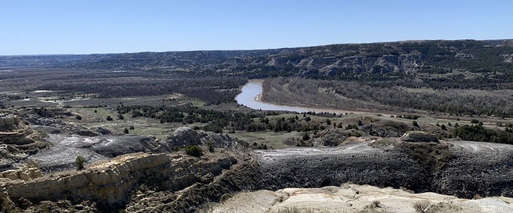
Place · 1 mi away
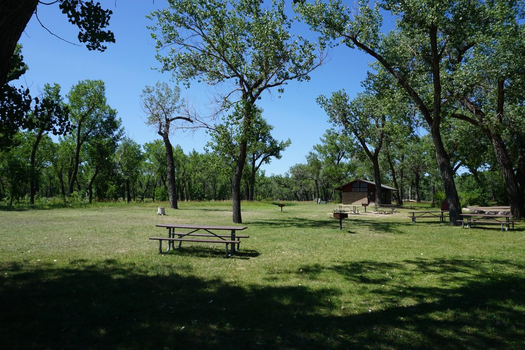
Place · 1.4 mi away
Place · 1.4 mi away
Moderate · 0 mi away
Moderate · 0 mi away
Easy · 1 mi away
Moderate · 3.6 mi away

Parkwolf Tour Guide
