
Place · 0 mi away
Moderate
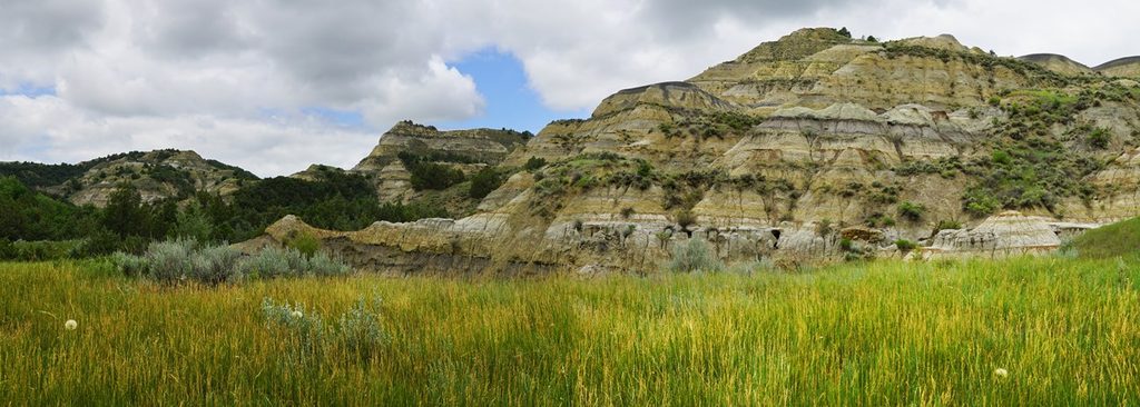
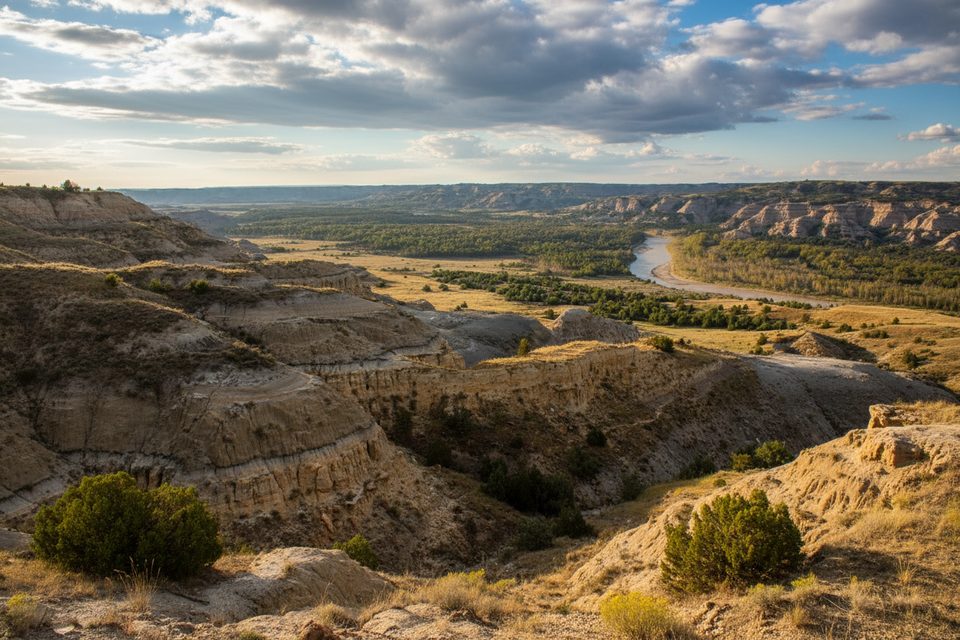
This is the North Unit’s signature hike: a roughly 4.1–4.4 mile loop (total) that strings together shaded coulees, cedar-juniper pockets, grassy ridges, and a cliffy caprock traverse with sweeping views over the Little Missouri River. Expect about 560–730 feet of climbing and 1.75–3 hours on trail, depending on pace and photo stops. It’s a compact sampler of the park’s badlands geology—bentonite bands, hoodoos, petrified wood—and a reliable place to see wildlife.
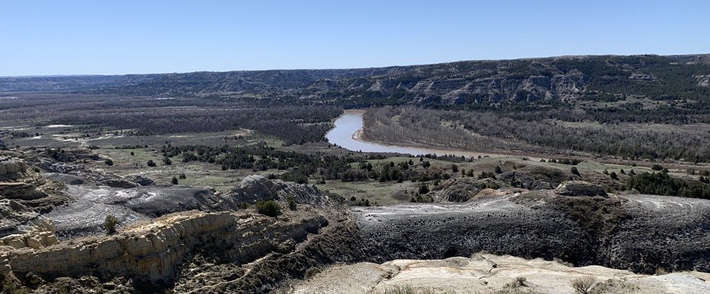
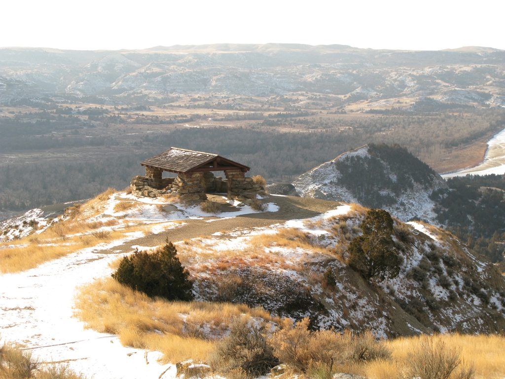
Most hikers start at the lower Caprock Coulee Nature Trail lot and hike counter-clockwise. That puts the less exciting uphill early and saves the best ridge views for last. The first signed 0.8 miles of the Nature Trail winds through a cool, interpretive coulee; you can turn around here for a shorter 1.6‑mile outing. Continue to commit to the full loop and you’ll climb out of the coulee to wide-open ridges, cross the Scenic Drive near River Bend Overlook (worth a quick detour for the classic river panorama and its 1937 CCC stone shelter), then traverse a narrow, dramatic ridge sprinkled with caprock pillars before a steep descent back to the start.
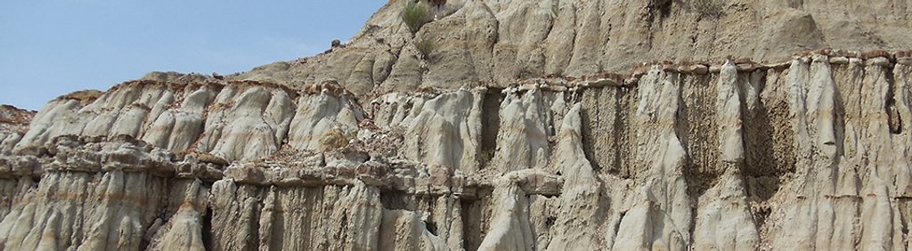
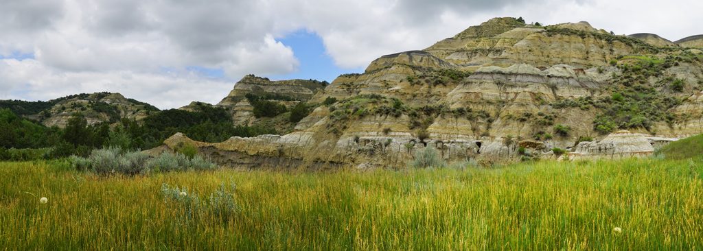
Geology is the headliner: coulees carved by water, bentonite clay (slick when wet), and “caprock” where hard sandstone shields softer clay below—think natural helmets on pedestal columns. Watch for petrified wood and lignite seams. In the bottoms you’ll pass juniper and green ash; on the sun-baked slopes, sagebrush and prickly pear rule. Wildlife is common—bison and sometimes bighorn sheep on the ridges, deer and coyotes in drainages. Rattlesnakes are possible on warm days.
Light is gorgeous early and late, and summer heat and storms favor a dawn or late‑afternoon start. After any rain or snowmelt, bentonite turns to grease—save the loop for dry conditions. The North Unit sees fewer visitors than many parks, so even peak times are often manageable, but arriving earlier keeps temps and crowds down and ups your wildlife odds.
You’ll find the primary trailhead about six miles west of the North Unit visitor center along the Scenic Drive at the Caprock Coulee Nature Trail (lower) lot. A second option is the River Bend Overlook (upper) lot, which front-loads the best views but means a long climb later. Either way, you’ll briefly cross the park road mid‑loop—use care.
Once you pass the Nature Trail “end” sign, you’re committing to finish the loop back to your car. Expect some steep grades and eroded sections; parts of the final descent are on clay that becomes treacherous if wet. Give bison ample space (at least 25 yards), keep kids close on the narrow ridge, and watch where you place hands and feet in snake season. Bring 1–2 liters of water per person, sun protection, and sturdy shoes; trekking poles help on the climbs and the clay descent.
Park at the Caprock Coulee Nature Trail (lower) lot about six miles west of the North Unit visitor center on the Scenic Drive, or at the River Bend Overlook (upper) lot if starting there. Limited spaces; arrive early in summer.
Steep, narrow ridge with drop-offs; bentonite clay is extremely slick when wet. Rattlesnakes in warm months. Bison frequently use the area—stay at least 25 yards away. Once past the Nature Trail end sign, you’re committed to completing the loop. Brief road crossing near River Bend Overlook.
Place · 0 mi away
Place · 0.7 mi away
Place · 1 mi away
Place · 1.4 mi away
Moderate · 0 mi away
Easy · 0 mi away
Easy · 1 mi away
Moderate · 3.6 mi away

Parkwolf Tour Guide
