
Place · 0 mi away
Moderate
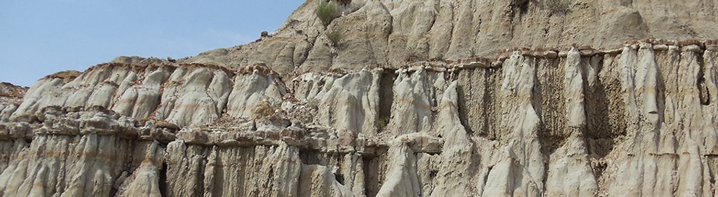
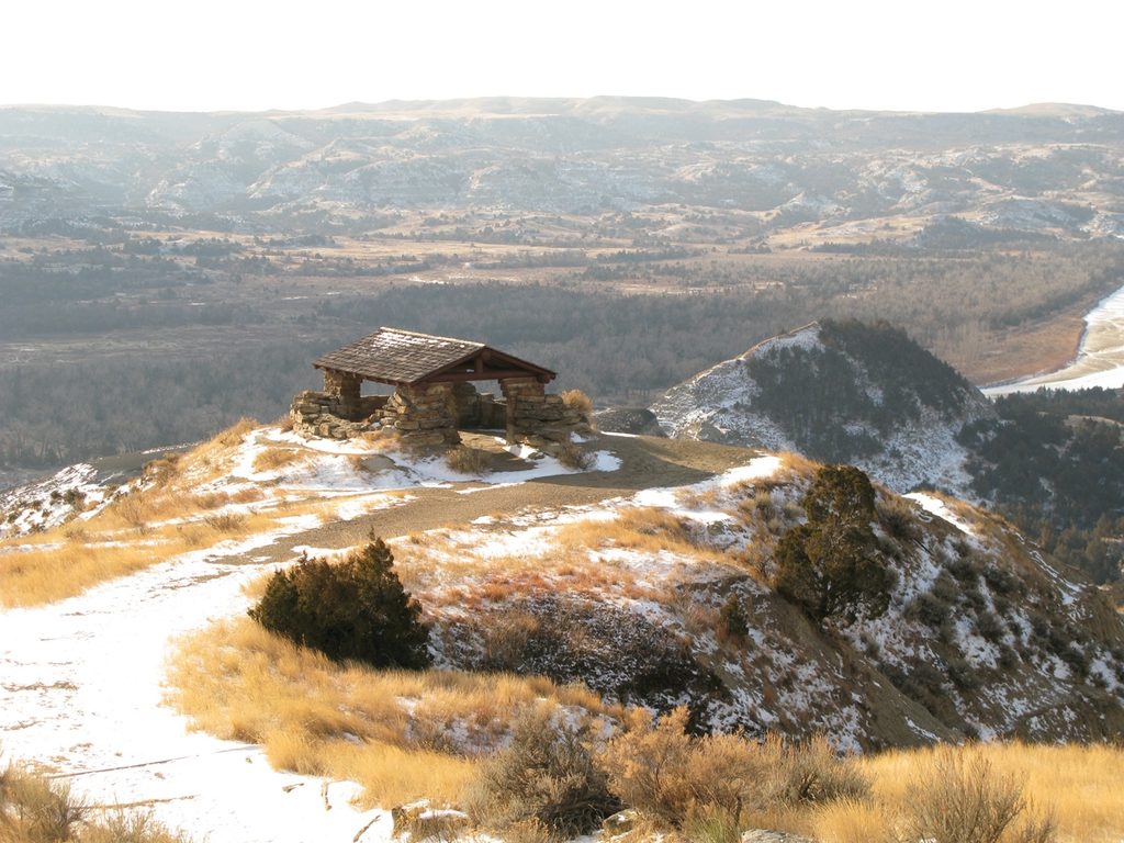
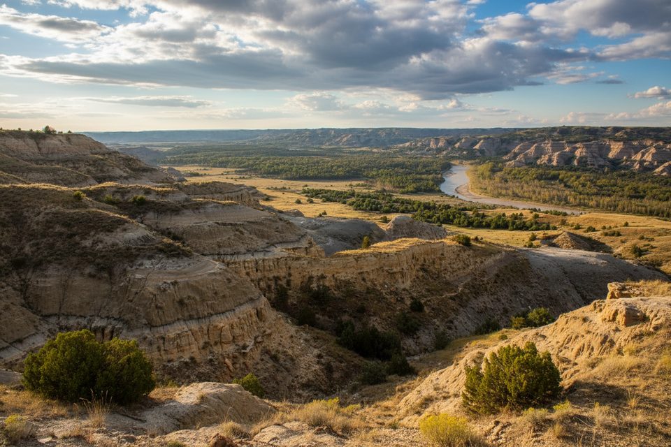
When folks say “Upper Caprock Coulee,” they mean the panoramic ridge segment of the Caprock Coulee Loop near River Bend Overlook in the park’s quieter North Unit. It’s the money views without committing to the whole loop—caprock hoodoos, rolling singletrack along the rim, and sweeping looks over the Little Missouri River.
Park at River Bend Overlook and follow the ridge section out-and-back as far as you like, then turn around. Expect roughly 1–2+ miles total depending on your turnaround point. If you want the full experience, the official Caprock Coulee Loop is about 4.1–4.4 miles total with roughly 560–730 feet of elevation gain and typically takes 2–3 hours.
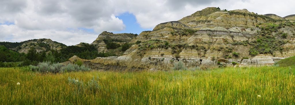
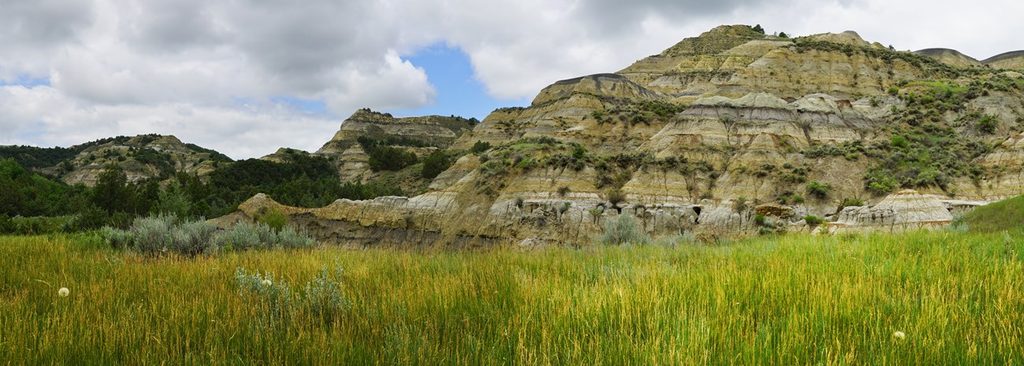
This ridge is classic badlands: layered, multi-colored bluffs, clay pillars topped by hard sandstone “caprocks,” and wide-open prairie meeting rugged canyons. From the high ground you’ll peer into cedar-choked coulees and out across bends of the Little Missouri. Keep an eye out for pockets of petrified wood and eroded hoodoo gardens along the way.
Moderate overall, but it’s exposed and includes narrow tread, short steep bits, and long stair sections. Clay can be slick and treacherous when wet, and sections can feel brushy or faint. Watch your footing along drop-offs and take it easy on descents.
Start early or late, especially June–September, to beat the heat and dodge afternoon thunderstorms. Golden hours light up the badlands—sunrise or sunset on the ridge is hard to beat and easier to enjoy when you’re only doing the highlight.
Bison roam here—give them space (at least 25 yards). You might spot bighorn sheep or even wild horses from the ridge. Rattlesnakes are possible on warm days; look before you step or sit. This is a great place to quietly glass distant slopes for wildlife.
If you want more miles in the North Unit, the full Caprock Coulee Loop is the park’s standout hike. For a bigger day, look into other North Unit routes like Buckhorn or Achenbach to keep the badlands vibe going.
Park at River Bend Overlook along the North Unit Scenic Drive (about six miles west of the visitor center). For the full loop, you can also start at the lower Caprock Coulee Nature Trailhead.
Give bison at least 25 yards. Watch for rattlesnakes in warm weather. Narrow ridge tread with drop-offs, long stair sections, and slick clay when wet—avoid after rain and tread carefully.
Place · 0 mi away
Place · 0.7 mi away
Place · 1 mi away
Place · 1.4 mi away
Moderate · 0 mi away
Easy · 0 mi away
Easy · 1 mi away
Moderate · 3.6 mi away

Parkwolf Tour Guide
