
Place · 0.7 mi away
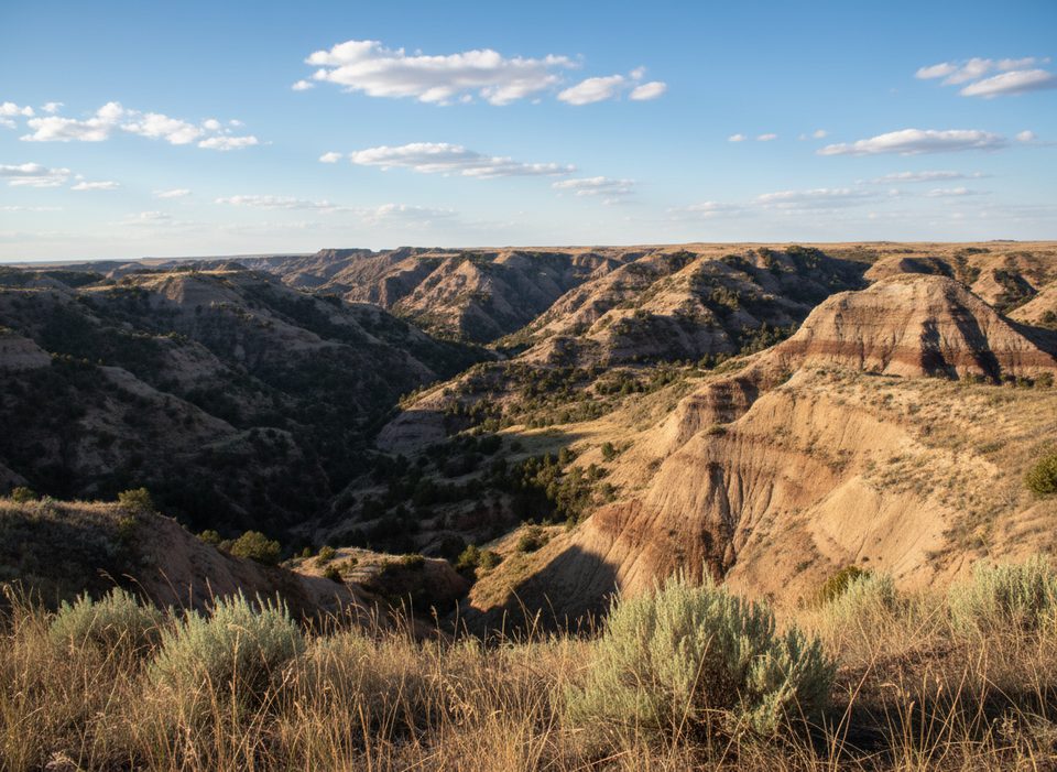
Long X is the quiet, wide‑open badlands experience most people wish they’d found sooner. It’s a moderately challenging loop (about 11–12 miles, ~1,100 feet of gain) that links the Long X segment with the Maah Daah Hey, skirting the rim east of the North Unit. Expect vast prairie‑and‑butte scenery, classic singletrack, and very few other hikers.
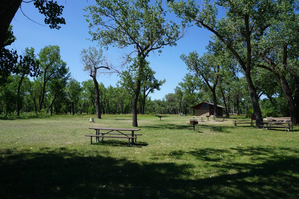
Most people start at the CCC Campground, just west of US‑85 and the Long X Bridge over the Little Missouri. From the campground, pick up the Maah Daah Hey and connect with the Long X segment to form the loop. The route is signed but sparse in places, so carry a reliable map or GPS. Note that CCC Campground is managed by the US Forest Service (not the park). It underwent renovations through May 23, 2025; check current status and amenities before you go.
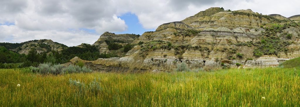
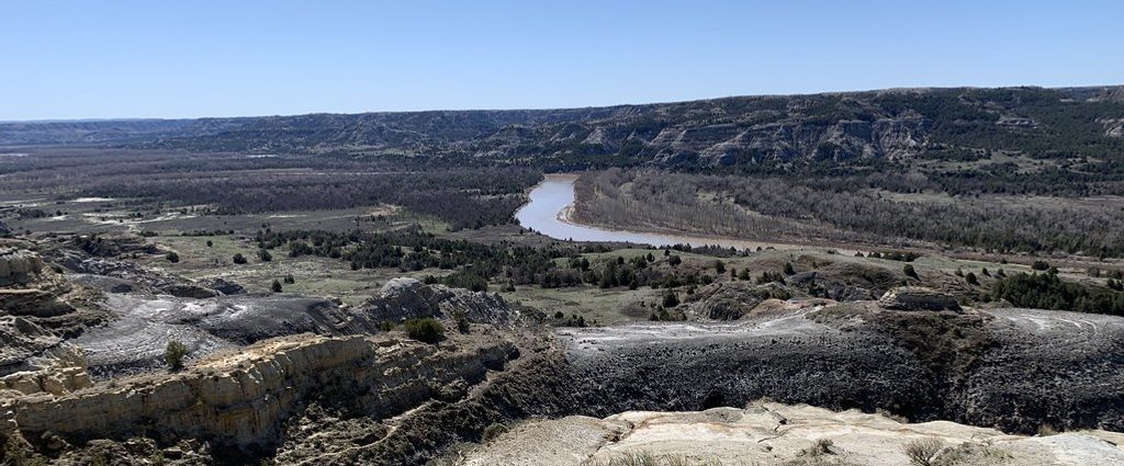
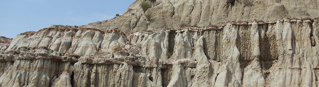
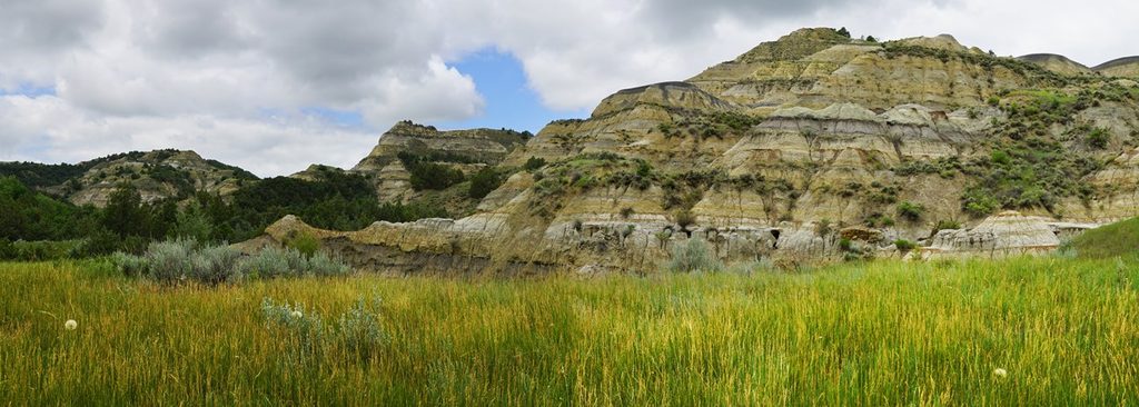
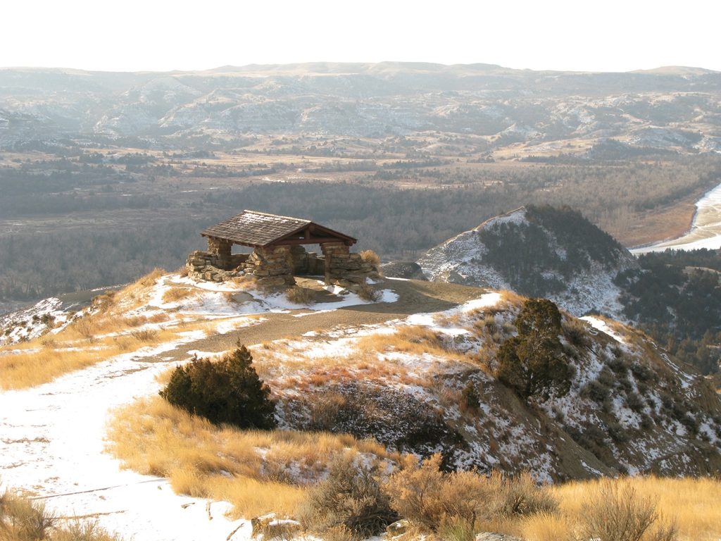
This loop serves up rolling prairie, eroded buttes capped with red clinker ("scoria"), soft bentonite clays, and big‑sky views in every direction. It’s classic badlands geology carved by the Little Missouri River over millions of years. Wildlife is around—prairie dogs, deer, pronghorn, raptors, and bison in the broader area—so give all animals space and keep your distance.
Bikes use the Long X/Maah Daah Hey loop outside the park boundary; park trails inside the North Unit do not allow bikes. Dogs are allowed outside the park—keep them leashed and pack water for them. Obey posted signs where the route nears the park boundary.
The Long X Trail, Long X Divide, CCC Campground, and Maah Daah Hey junctions appear on the official North Unit brochure map, even though Long X sits outside the park boundary. Download the North Unit map in advance for a clear big‑picture view.
If you want solitude and sweeping badlands scenery near the North Unit without the crowds, Long X delivers. Bring maps, extra water, and a flexible plan, and you’ll likely have the place to yourself.
Place · 0.7 mi away
Place · 0.7 mi away
Place · 0.8 mi away
Place · 1.6 mi away
Moderate · 0.7 mi away
Moderate · 0.7 mi away
Easy · 0.7 mi away
Easy · 1.6 mi away

Parkwolf Tour Guide
