Overview
About Kata Tjuṯa Dune Viewing Area
Why stop
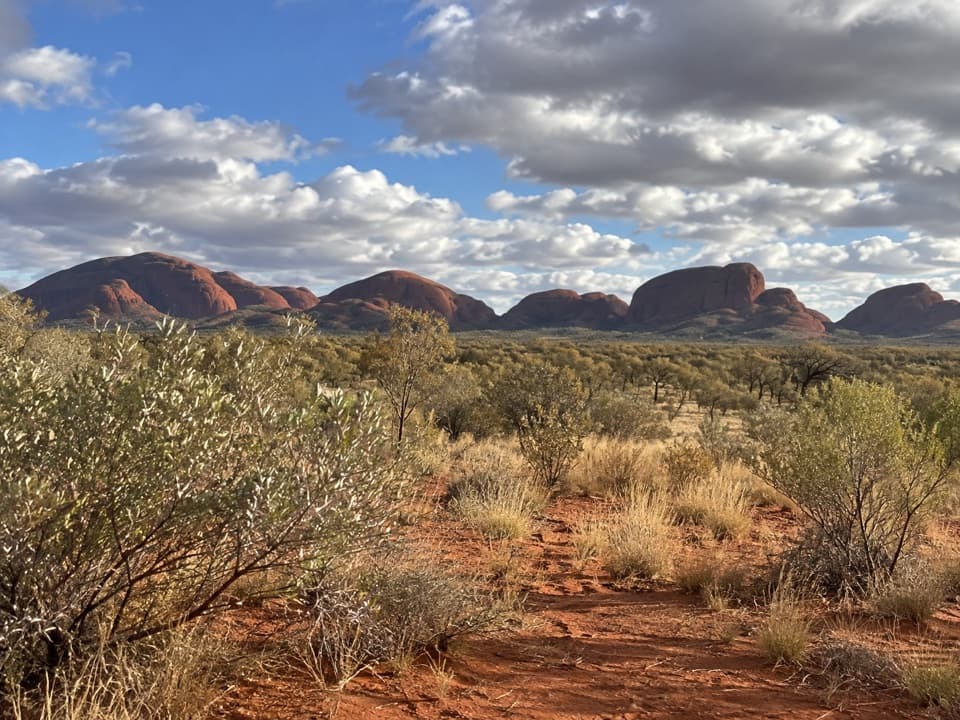
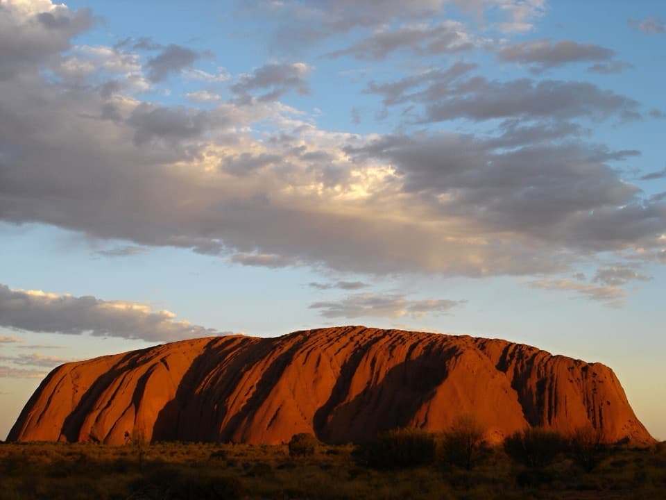
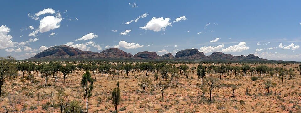
- The wide overview takes in the whole dome range and distant Uluṟu.
Heads up
- The domes remain a distant panorama, and sunrise can be busy.
Map
Where it is

The highest, rockiest slopes around here are a summer buffet for grizzly bears.
Uluru-Kata Tjuta Tour Guide
Your drive to Kata Tjuṯa Dune Viewing Area, narrated.
Parkwolf is a GPS audio tour guide for Uluru-Kata Tjuta National Park. As you drive, it chimes in with what’s ahead: hidden gems, upcoming stops, history, geology, and wildlife, right through your car’s speakers.
See the Uluru-Kata Tjuta audio tourRecorded for this place
Kata Tjuṯa Dune Viewing Area: The Panorama“The Kata Tjuṯa Dune Viewing Area is coming up. Stop here for the whole sweep of the domes, with Uluṟu on the distant horizon.”
Plays as you drive up to Kata Tjuṯa Dune Viewing Area in the Parkwolf Uluru-Kata Tjuta Tour Guide.
More stories near here in the app
- Glue from Grass
- Shrimp Waiting for Rain
- Uluṟu's Layers Turned Upright
- Mulga Makes the Rain Count
- 40 audio storiesacross Uluru-Kata Tjuta’s roads, triggered by GPS as you drive
- Wildlife heatmapsfor Dromedary Camel, Black-breasted Kite, Brown Falcon, and 13 more
- Works offlinemaps, 15 trails, 28 places, and audio download before you lose signal
- CarPlay readysimple controls built for the drive
“Fantastic app with many points of information… It’s great to just turn on while you’re driving and it gives you an audio tour of the national Park. We love it!!!!”


Guide
More about Kata Tjuṯa Dune Viewing Area
The wide viewThe Kata Tjuṯa Dune Viewing Area is a roadside lookout across the full cluster of domes, with…
The Kata Tjuṯa Dune Viewing Area is a roadside lookout across the full cluster of domes, with Uluṟu on the far horizon. It’s a worthwhile stop for the big-picture view, especially if you’re deciding whether to add a longer walk nearby; from here, the rock shapes stay at a distance. The walk to the platform is about 600 m; allow at least half an hour for the walk and a proper look.
Read the rangeKata Tjuṯa means “many heads” in Pitjantjatjara.
Kata Tjuṯa means “many heads” in Pitjantjatjara. Its 36 domes cover more than 20 square kilometres and rise as high as 546 m above the surrounding plain. This is where the scale of the whole formation comes together: take in the sweep first, then use binoculars or a zoom lens to pick out details.
Light, crowds and photosSunrise can draw a crowd; sunset is usually quieter.
Sunrise can draw a crowd; sunset is usually quieter. From this angle, direct sunlight doesn’t hit the domes at either end of the day, so they can look dark while the surrounding sky and desert take on colour. For the classic photo, keep at least five domes in the frame. Uluṟu is distant, and a long lens can frame it beside the rising sun; which side the sun appears on changes with the season.
Aṉangu countryKata Tjuṯa is sacred under Tjukurpa and a place of great importance for Aṉangu men’s work.
Kata Tjuṯa is sacred under Tjukurpa and a place of great importance for Aṉangu men’s work. Some cultural stories and knowledge connected with the domes are not shared with visitors. Stay on marked tracks.
Before you goThe lookout is about a 35-minute drive from Yulara, along the road to Kata Tjuṯa, and you need…
The lookout is about a 35-minute drive from Yulara, along the road to Kata Tjuṯa, and you need a park pass to enter. There’s parking and picnic shelters, but no water or toilets at the lookout, so plan for both before you leave. Wheelchair access is listed, though the published details don’t specify the path surface or gradient; check locally if those details matter to you. A warm layer helps before sunrise, and a fly net can be useful in warmer weather.
Wildlife
Wildlife in Uluru-Kata Tjuta
 32 sightingsDromedary CamelMost seen around 6 PMSighting map
 14 sightingsBlack-breasted KiteMost seen around 10 AMSighting map
 27 sightingsBrown FalconMost seen around 7 AMSighting map
 11 sightingsWestern Brown SnakeMost seen around 9 AMSighting map
 32 sightingsMain's FrogMost seen around 7 PMSighting map
 17 sightingsRed-backed KingfisherMost seen around 7 AMSighting map
Sighting maps show where each species has been reported across Uluru-Kata Tjuta. Wildlife moves, so no sighting is guaranteed.