Parking
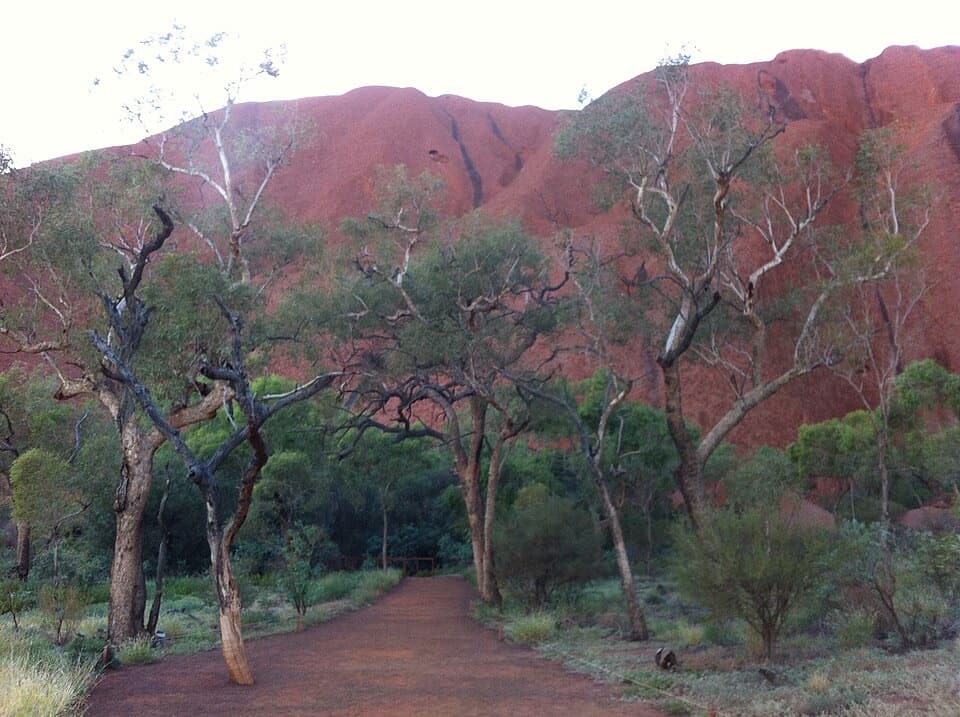
Use the Kata Tjuṯa dune viewing area car park, the start of this 600 m return walk. A compacted path leads from the parking area to the boardwalk.
Uluru-Kata Tjuta National Park, NT
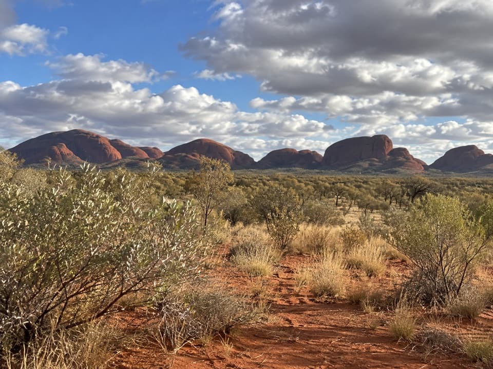
A short, inclined boardwalk opens onto Kata Tjuṯa’s wide panorama.
Overview
Map & elevation
Plan your hike

The highest, rockiest slopes around here are a summer buffet for grizzly bears.
Uluru-Kata Tjuta Tour Guide
Parkwolf is a GPS audio tour guide for Uluru-Kata Tjuta National Park. As you drive, it chimes in with what’s ahead: hidden gems, upcoming stops, history, geology, and wildlife, right through your car’s speakers.
See the Uluru-Kata Tjuta audio tourRecorded for this trailhead
Kata Tjuṯa Dune Viewing Area: The Panorama“The Kata Tjuṯa Dune Viewing Area is coming up. Stop here for the whole sweep of the domes, with Uluṟu on the distant horizon.”
Plays as you drive up to this trailhead in the Parkwolf Uluru-Kata Tjuta Tour Guide.
More stories near here in the app
“Fantastic app with many points of information… It’s great to just turn on while you’re driving and it gives you an audio tour of the national Park. We love it!!!!”


Trail guide
Kata Tjuṯa Dune Viewing Walk is a short out-and-back from the dune-viewing car park to a raised lookout. The full walk is 600 m return, and about 30 minutes. From the platform, the domes fill the panorama, with Uluṟu on the horizon. It is an easy way to get a broad view of Kata Tjuṯa without taking on one of the longer walks.
A compacted approach leads from the car park to an inclined metal boardwalk and the lookout. From there, look across the rows of domes and the grassy country around them. For a photo, frame at least five domes; Uluṟu can sit on the horizon on a clear day.
Wildlife
 32 sightingsDromedary CamelMost seen around 6 PMSighting map
 14 sightingsBlack-breasted KiteMost seen around 10 AMSighting map
 27 sightingsBrown FalconMost seen around 7 AMSighting map
 11 sightingsWestern Brown SnakeMost seen around 9 AMSighting map
 32 sightingsMain's FrogMost seen around 7 PMSighting map
 17 sightingsRed-backed KingfisherMost seen around 7 AMSighting map
Sighting maps show where each species has been reported across Uluru-Kata Tjuta. Wildlife moves, so no sighting is guaranteed.
Keep exploring
 ModerateWaḻpa Gorge Walk2.6 km · 1 hr · 8.7 km awayA short, rocky walk into the narrow gorge at Kata Tjuṯa.
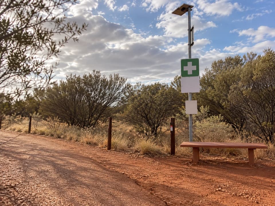 ChallengingValley of the Winds Full Circuit7.4 km · 4 hr · 9.7 km awayA rocky loop through Kata Tjuṯa’s valleys to two lookouts.
 ChallengingKaringaṉa Lookout Walk5.4 km · 2.5 hr · 9.8 km awayA steep return to the second lookout, harder than the full circuit.
 ModerateKaru Lookout Walk2.2 km · 1 hr · 9.8 km awayA short, rocky walk to the first Valley of the Winds lookout.
 EasyUluṟu Dune Walk0.8 km · 45 min · 21.4 km awayA sandy climb to Uluṟu and Kata Tjuṯa in one sweep.
 EasyLiṟu Walk4 km · 1.5 hr · 23.1 km awayA sandy clearing opens to a sheltered view of Uluṟu.
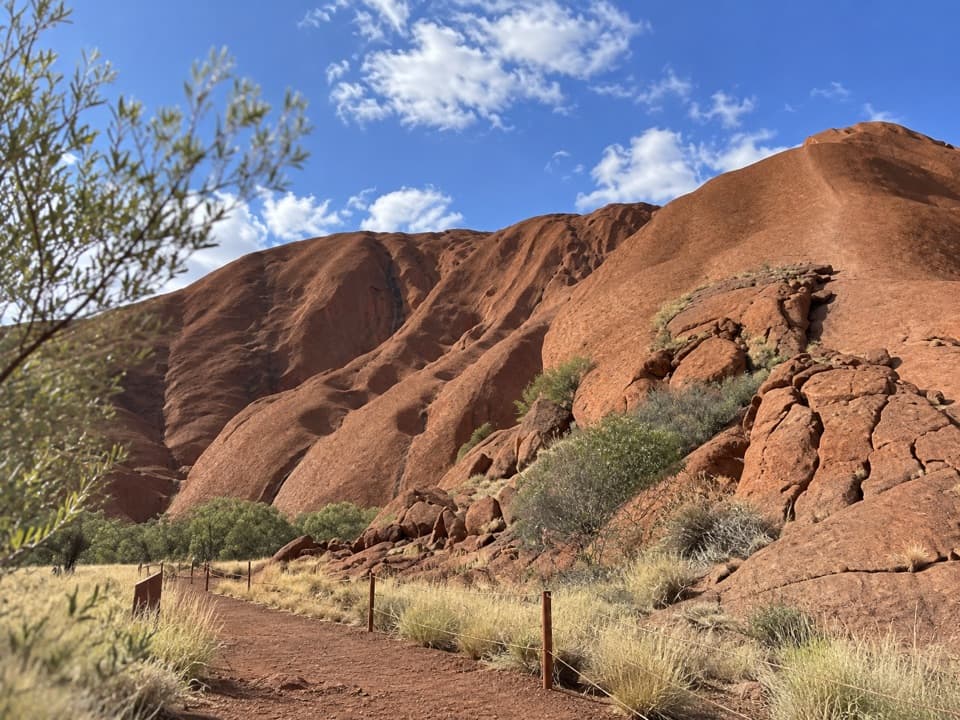 EasyPunu Walk0.6 km · 30 min · 23.5 km awayA quick plant walk with Uluṟu in view.
 ModerateLungkaṯa Walk4 km · 1.5 hr · 23.5 km awayA close 4 km return walk beneath Uluṟu’s weathered caves
 Sight · 0.2 km awayKata TjuṯaThirty-six domes rise from the plain, with walks through their folds.
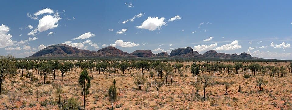 Sight · 0.2 km awayKata Tjuṯa Dune Viewing AreaSunset's usually quieter here, with 36 domes on the horizon.Sight · 7.6 km awayWaḻpa GorgeA short rocky walk ends at a seasonal stream between the domes.
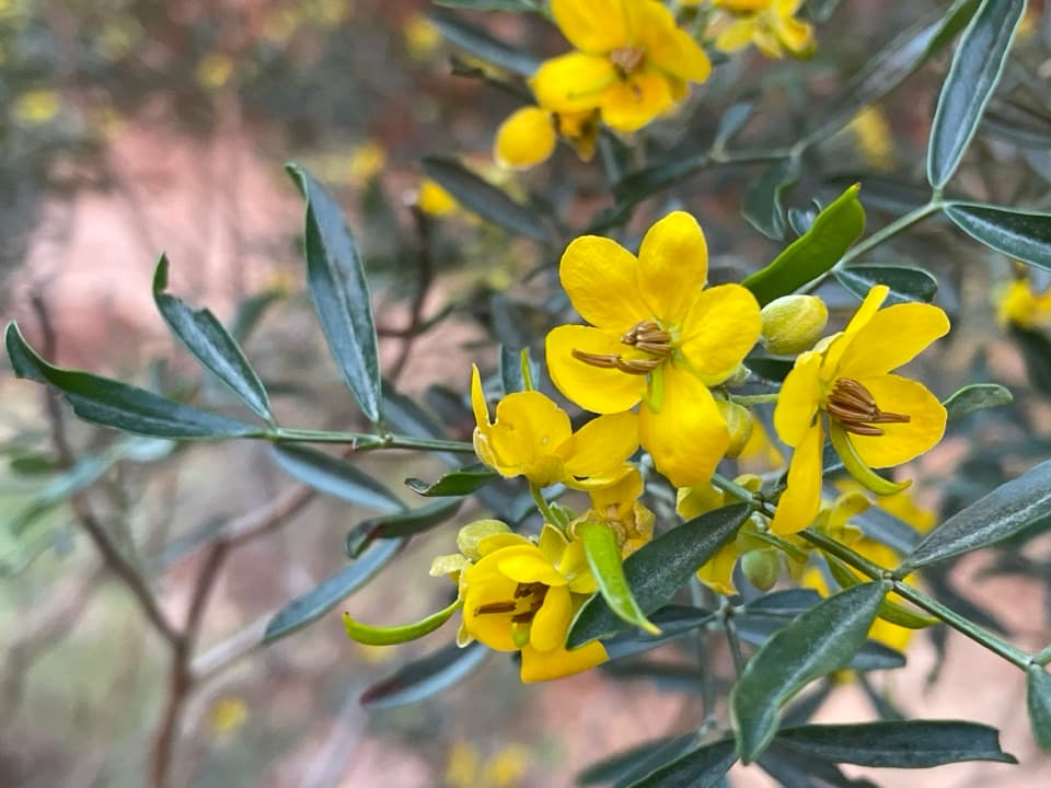 Sight · 8.2 km awayKaringaṉa LookoutA tough climb to a broad view across Kata Tjuṯa.
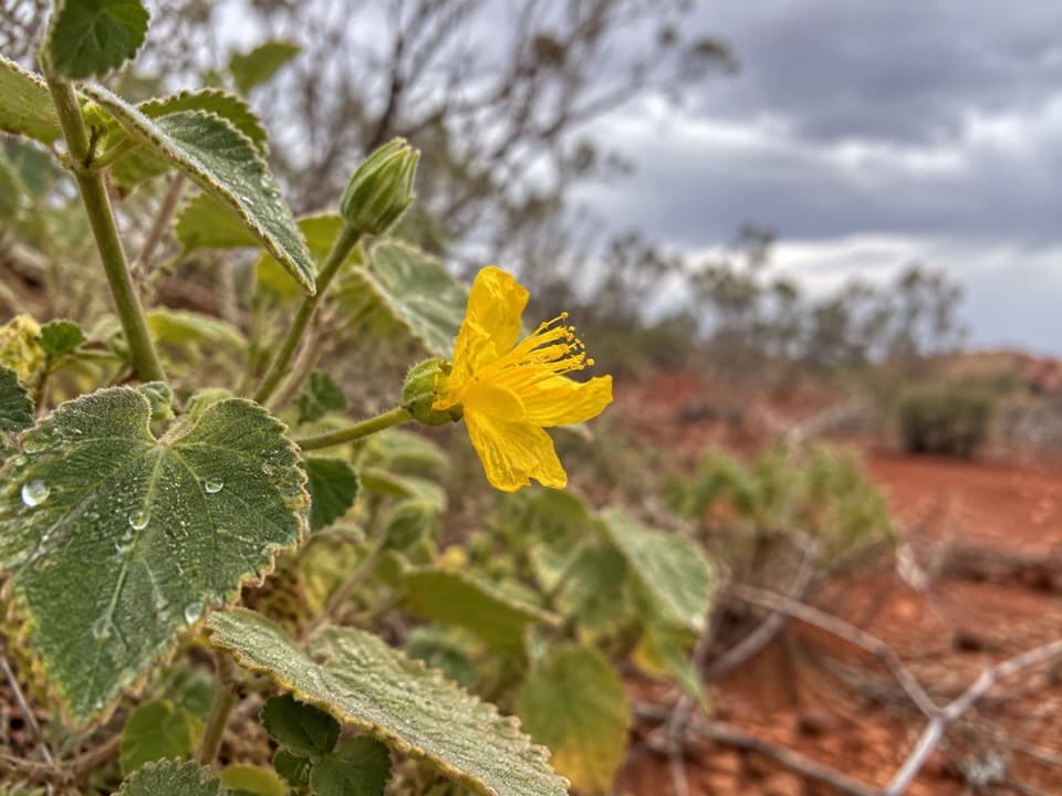 Sight · 9 km awayKaru LookoutFirst Valley of the Winds lookout; leave Kata Tjuṯa out of photos.
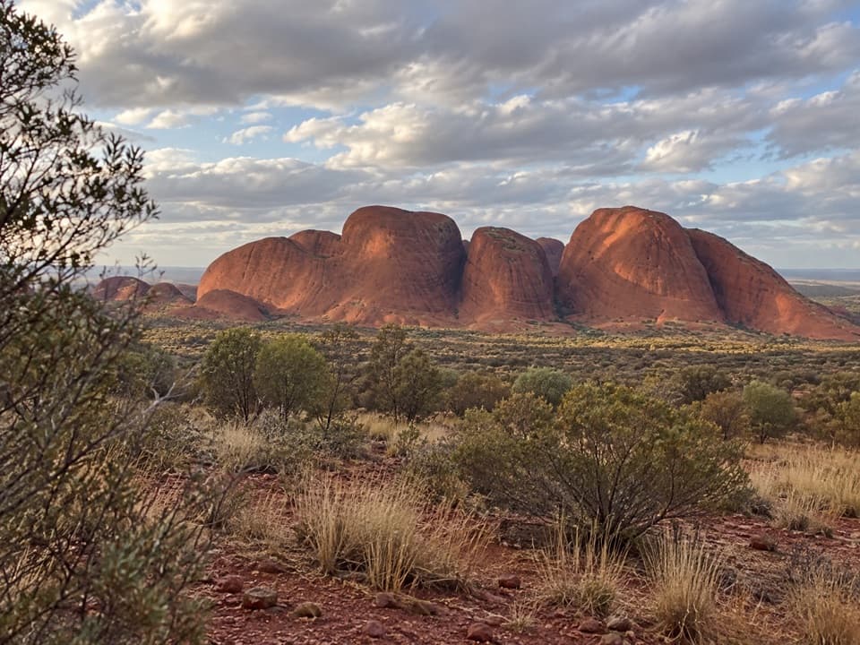 Sight · 10.2 km awayKata Tjuṯa Sunset Viewing AreaBring dinner; watch the domes change from pink to deep red.
Parkwolf’s Uluru-Kata Tjuta ranking

The audio tour guide for the drive, plus offline maps, trails, and wildlife heatmaps for when the signal drops.