Overview
About Ásbyrgi Campground
Why stop
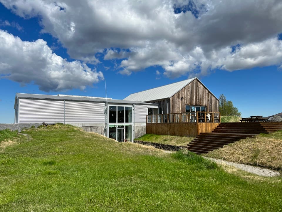
- Showers, laundry and drinking water, plus 48 electrical hookups.
Heads up
- Cooking facilities are not clearly described; don’t expect an indoor shared kitchen.
Map
Where it is

The highest, rockiest slopes around here are a summer buffet for grizzly bears.
Vatnajökull Tour Guide
Your drive to Ásbyrgi Campground, narrated.
Parkwolf is a GPS audio tour guide for Vatnajökull National Park. As you drive, it chimes in with what’s ahead: hidden gems, upcoming stops, history, geology, and wildlife, right through your car’s speakers.
Recorded for this place
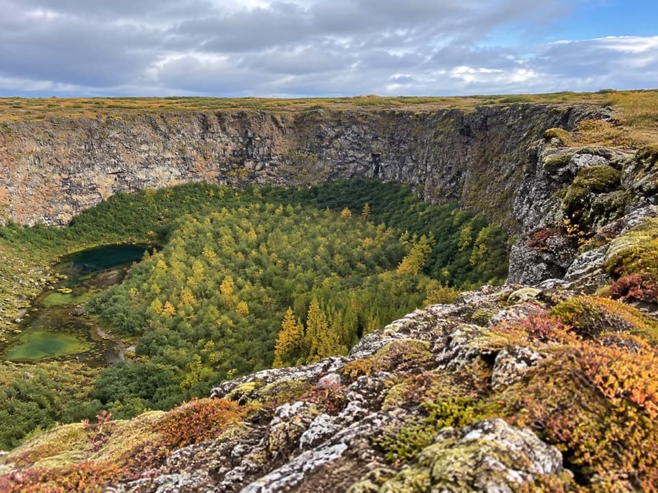
Eyjan: Above Ásbyrgi’s Woods“You're nearing Ásbyrgi Campground, the starting area for the walk onto Eyjan. Choose this if you want to look down over the wooded canyon from its central rock ridge.”
Plays as you drive up to Ásbyrgi Campground in the Parkwolf Vatnajökull Tour Guide.
More stories near here in the app
- Gljúfrastofa: Choosing an Ásbyrgi Walk
- Snow Pellets That Crumble
- Ásbyrgi and Botnstjörn
- A Willow Close to the Ground
- 298 audio storiesacross Vatnajökull’s roads, triggered by GPS as you drive
- Wildlife heatmapsfor Grey Seal, Harbor Seal, Caribou, and 13 more
- Works offlinemaps, 92 trails, 75 places, and audio download before you lose signal
- CarPlay readysimple controls built for the drive
“Fantastic app with many points of information… It’s great to just turn on while you’re driving and it gives you an audio tour of the national Park. We love it!!!!”


Guide
More about Ásbyrgi Campground
Camp in the wooded hollowÁsbyrgi Campground is a large, seasonal campsite on the wooded floor of Ásbyrgi, the…
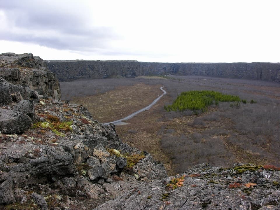
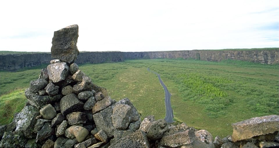
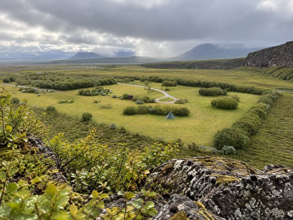
Ásbyrgi Campground is a large, seasonal campsite on the wooded floor of Ásbyrgi, the horseshoe-shaped hollow in Jökulsárgljúfur. It’s a practical base for sleeping among birch and willow and setting out on signed walks in the canyon.
Get your setup sortedThe campground has 48 electrical hookups, washrooms, showers, laundry, drinking water and…
The campground has 48 electrical hookups, washrooms, showers, laundry, drinking water and cooking facilities. Book ahead if you need an electrical hookup; it improves your chance of reserving one. The cooking setup isn’t described, so don’t count on an indoor shared kitchen or sheltered dining room. A restaurant and supermarket serve the wider Ásbyrgi area, separate from the campground.
The usual season is mid-May through late October, but snow can shift the opening and closing dates. Access to Jökulsárgljúfur by Route 85 or Route 1 depends on weather and road conditions.
Walk from campThe Eyjan route starts north of the campground and covers 4.5 km in about 1.5–2 hours.
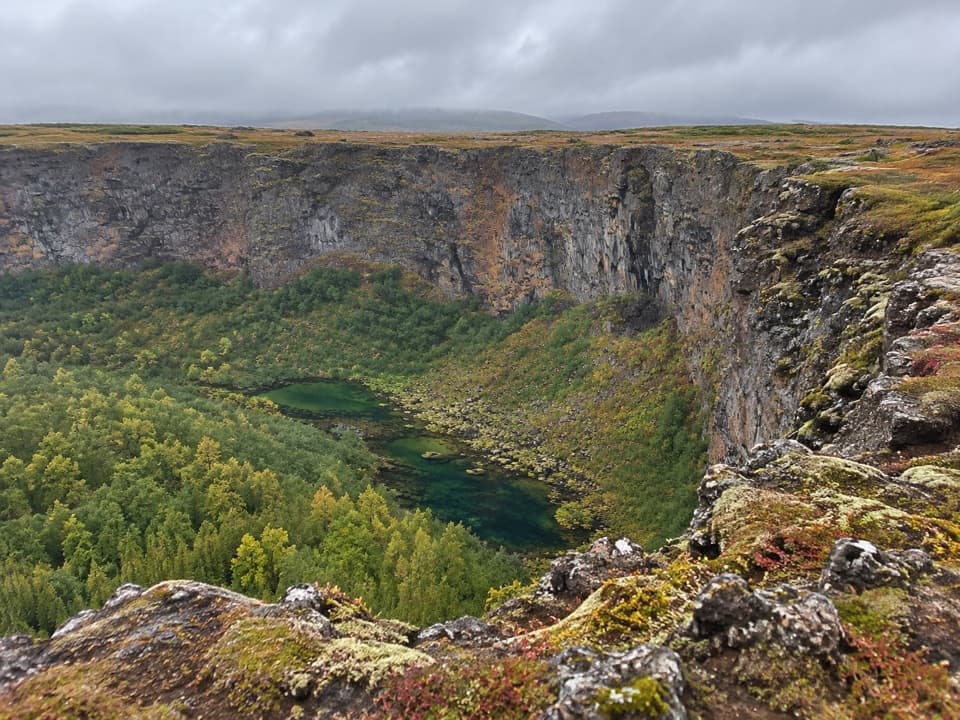
The Eyjan route starts north of the campground and covers 4.5 km in about 1.5–2 hours. It’s graded easy and reaches a viewpoint over the hollow, with high cliffs nearby. For a shorter outing, Botnstjörn is a 1 km, roughly 30-minute walk marked suitable for people with limited mobility. It reaches a pond in birch woods below the cliffs; a small waterfall appears in spring or after heavy rain.
How the hollow took shapeÁsbyrgi is about 3.5 km long and 1.1 km wide, with the long ridge of Eyjan through its middle.
Ásbyrgi is about 3.5 km long and 1.1 km wide, with the long ridge of Eyjan through its middle. It’s thought to have been carved by at least two catastrophic glacial outburst floods from Vatnajökull, one 8,000–10,000 years ago and another about 3,000 years ago. The river Jökulsá later shifted east. Local legend gives the horseshoe another origin: Sleipnir, Odin’s eight-legged horse, left a hoofprint here.
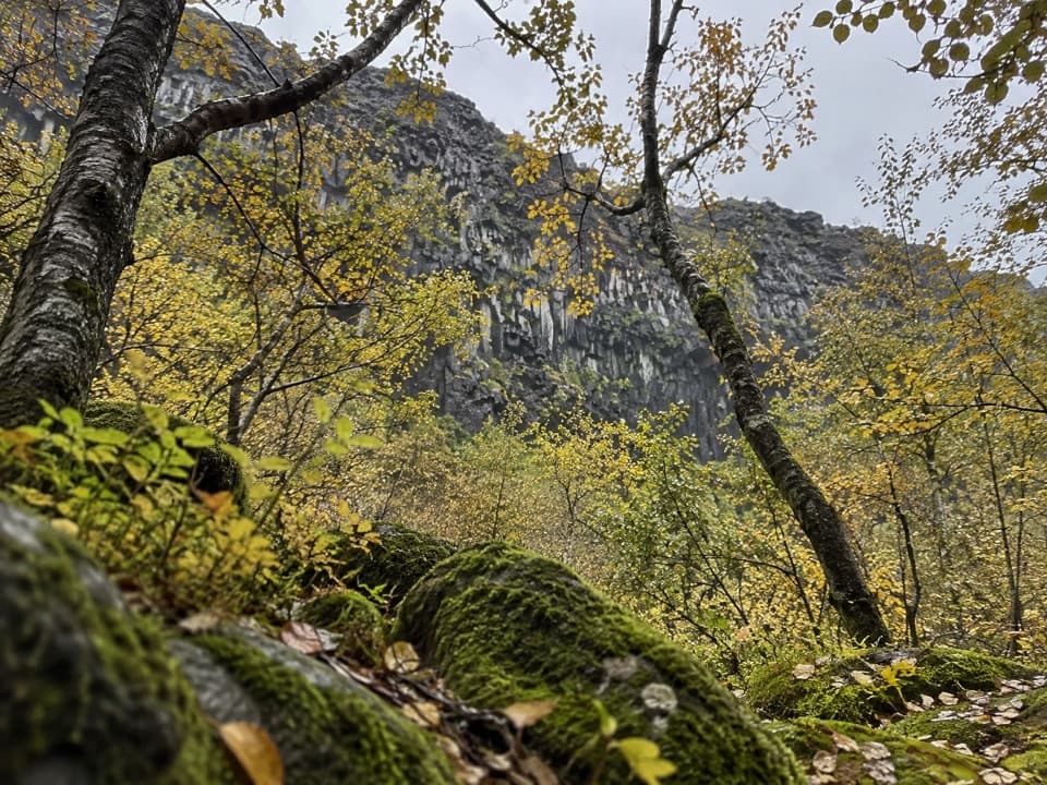
Look into the trees and cliffsBirch and willow dominate the woodland, with mountain ash and thousands of planted pines.
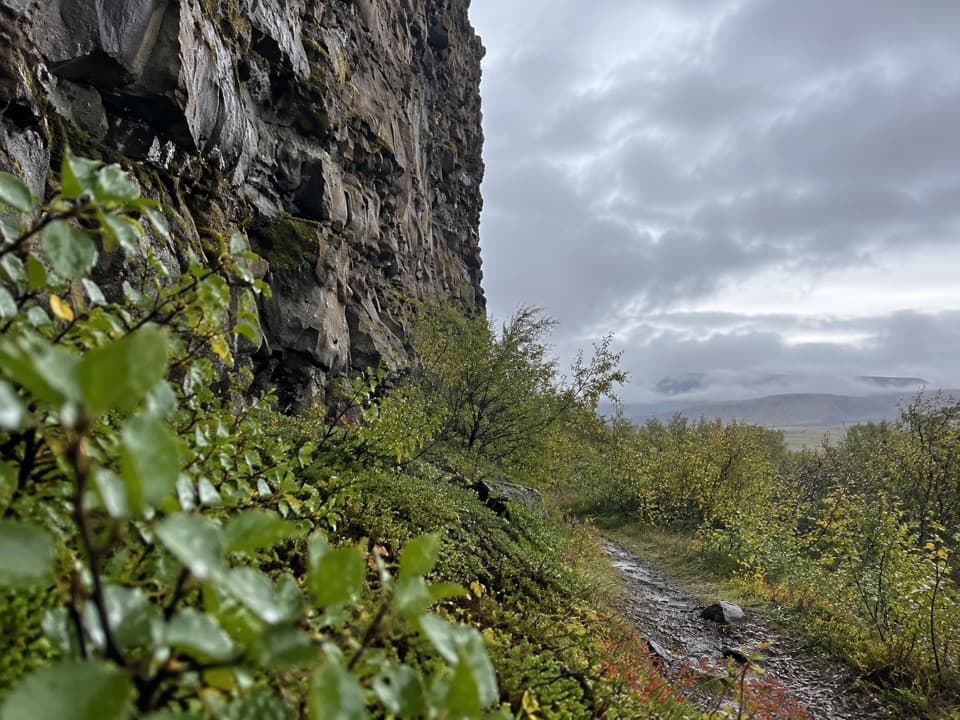
Birch and willow dominate the woodland, with mountain ash and thousands of planted pines. Fulmars nest on the steep cliffs, while other birds use the woodland and heath. The cliffs at the head of the hollow rise to about 100 m.
Wildlife
Wildlife in Vatnajökull
 23 sightingsGrey SealMost seen around 5 AMSighting map
 260 sightingsHarbor SealMost seen around 11 AMSighting map
 184 sightingsCaribouMost seen around 7 PMSighting map
 62 sightingsArctic FoxMost seen around 8 PMSighting map
 169 sightingsWhooper SwanMost seen around 5 PMSighting map
 68 sightingsAtlantic PuffinMost seen around 7 PMSighting map
Sighting maps show where each species has been reported across Vatnajökull. Wildlife moves, so no sighting is guaranteed.