Overview
About Klappir Viewpoint
Why stop
- A distinctive canyon-rim view and unusual potholes.
Heads up
- The challenging Á7 route takes 2.5–3 hours.
Map
Where it is

The highest, rockiest slopes around here are a summer buffet for grizzly bears.
Vatnajökull Tour Guide
Your drive to Klappir Viewpoint, narrated.
Parkwolf is a GPS audio tour guide for Vatnajökull National Park. As you drive, it chimes in with what’s ahead: hidden gems, upcoming stops, history, geology, and wildlife, right through your car’s speakers.
Recorded for this place
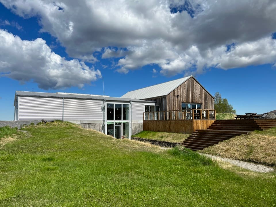
Gljúfrastofa: Choosing an Ásbyrgi Walk“You're coming up on Gljúfrastofa Visitor Centre, at the mouth of Ásbyrgi canyon. Stop here if you haven't settled on a walk; the staff can help you choose, and the exhibit introduces the surrounding canyon country.”
Plays as you drive up to Klappir Viewpoint in the Parkwolf Vatnajökull Tour Guide.
More stories near here in the app
- Ásbyrgi and Botnstjörn
- Flowers Before Summer
- Charcoal Pits in the Woods
- A Bumblebee's Warm-Up
- 298 audio storiesacross Vatnajökull’s roads, triggered by GPS as you drive
- Wildlife heatmapsfor Grey Seal, Harbor Seal, Caribou, and 13 more
- Works offlinemaps, 92 trails, 75 places, and audio download before you lose signal
- CarPlay readysimple controls built for the drive
“Fantastic app with many points of information… It’s great to just turn on while you’re driving and it gives you an audio tour of the national Park. We love it!!!!”


Guide
More about Klappir Viewpoint
A hike for the view and the rockKlappir is a viewpoint on the rim above Ásbyrgi, with a broad look across the canyon and…
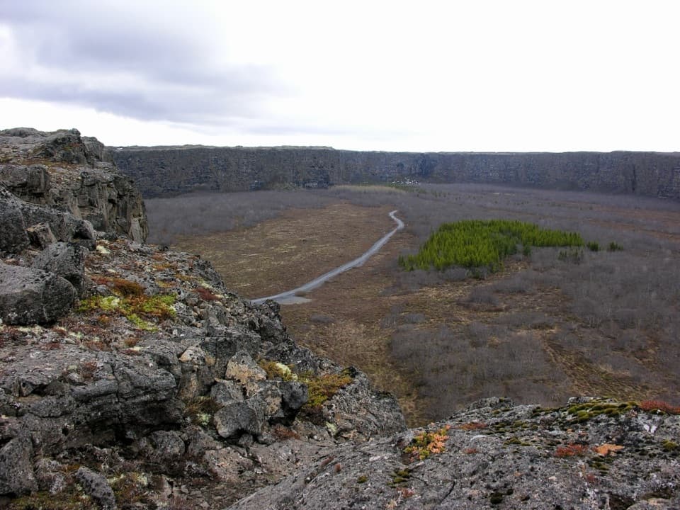
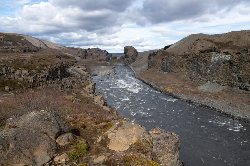
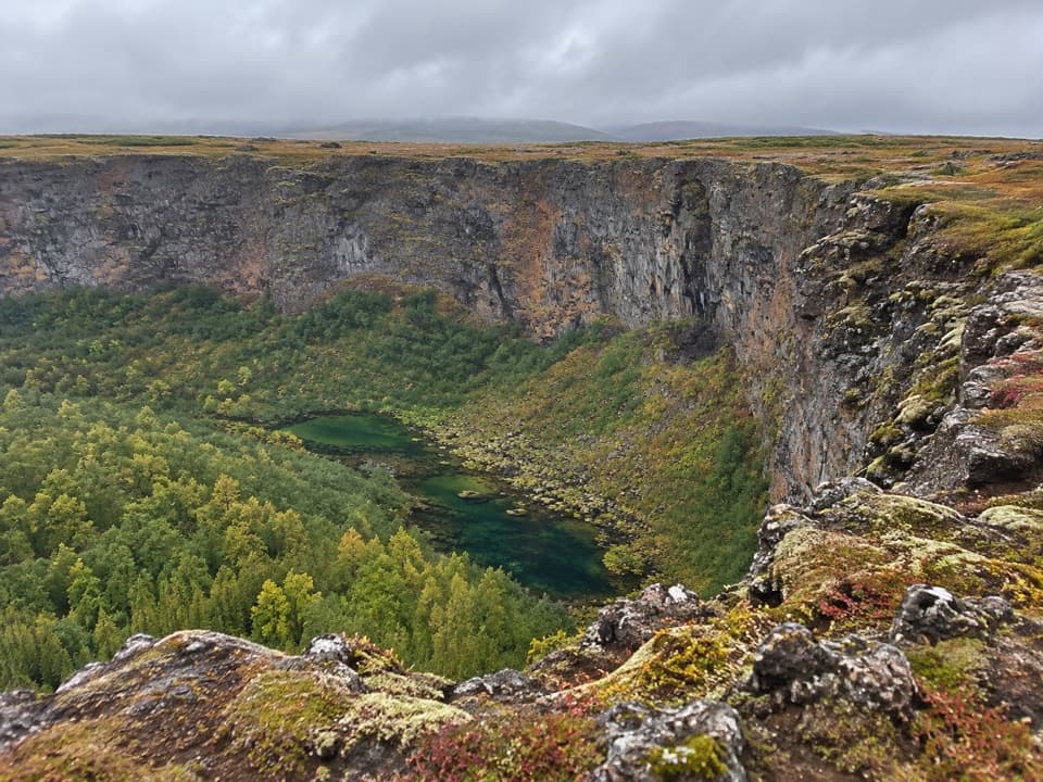
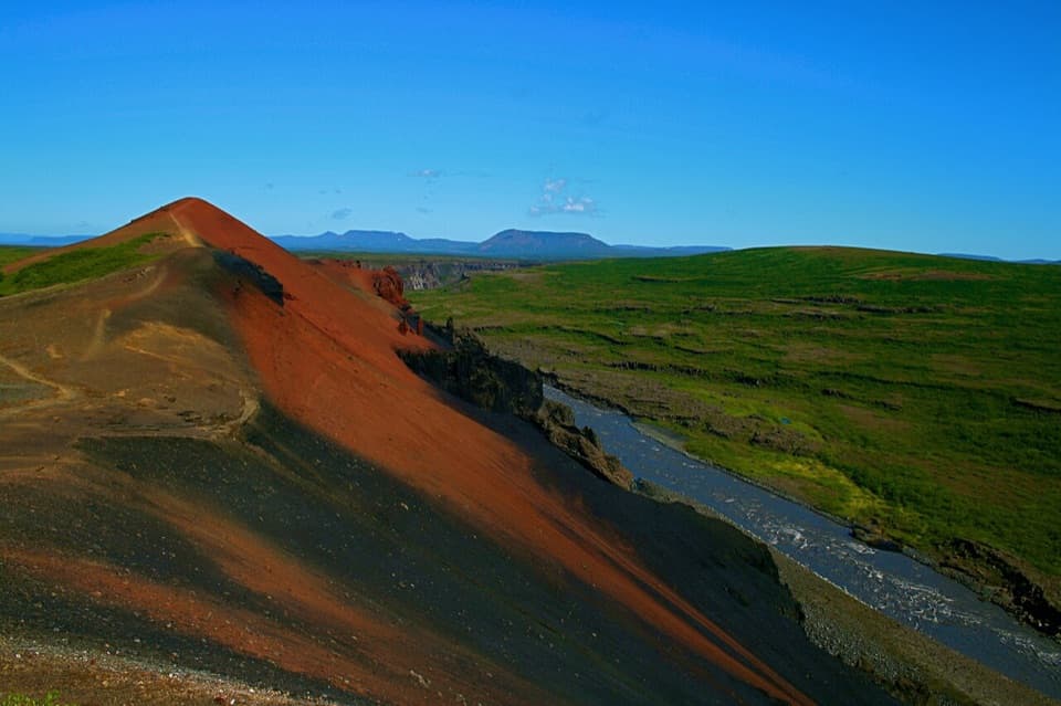
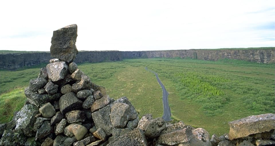
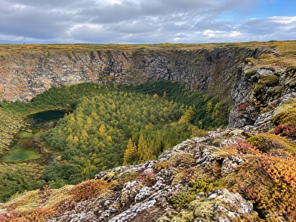
Klappir is a viewpoint on the rim above Ásbyrgi, with a broad look across the canyon and unusual potholes at the stop. It’s a good choice if you want to get above the basin and don’t mind earning the view on foot. The park’s Á7 route starts at Gljúfrastofa Visitor Centre; it is listed as 9 km, 2.5–3 hours, and challenging. This is a planned hike, not a quick pullout.
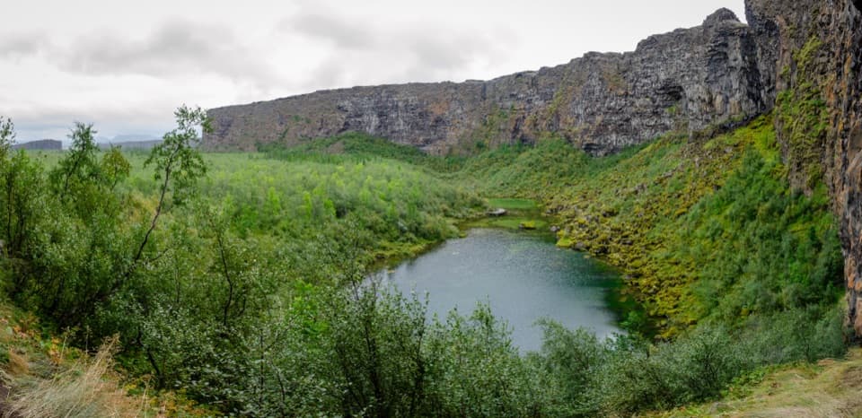
Look from the rimThe viewpoint opens across steep rock walls into the green, wooded canyon.
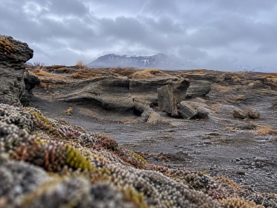
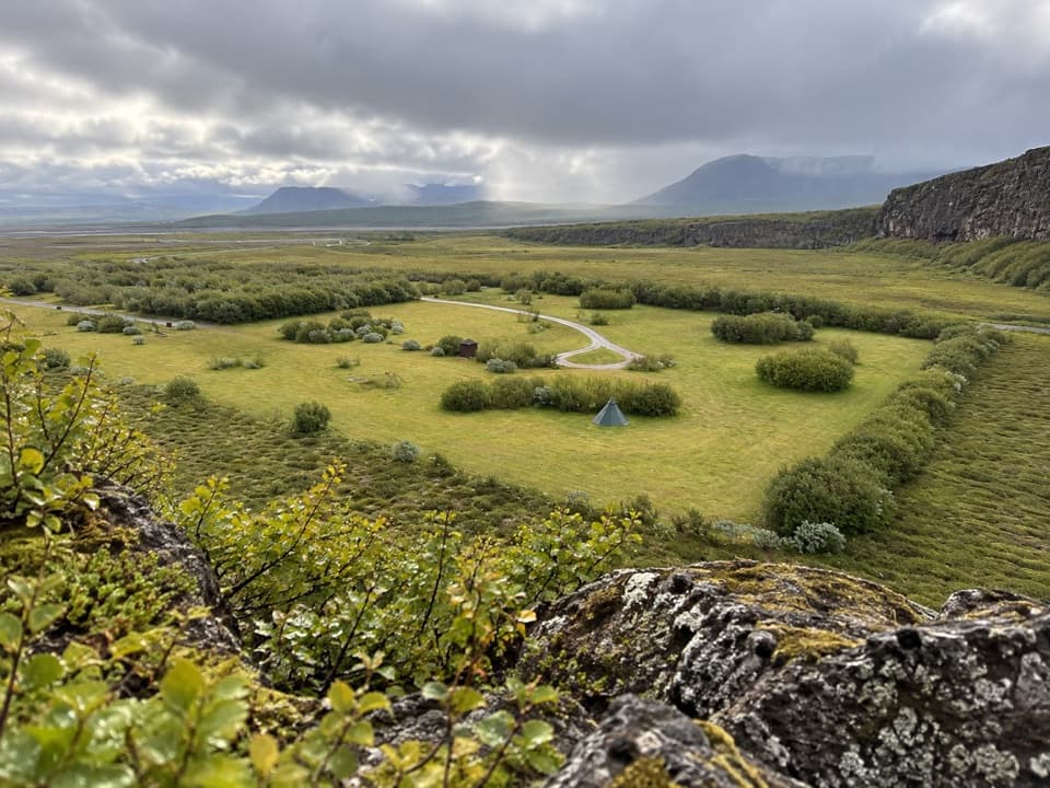
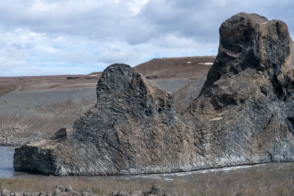
The viewpoint opens across steep rock walls into the green, wooded canyon. The park also singles out the unusual potholes at Klappir, so look for the smaller rock details after taking in the whole basin. For a photo, keep the rim rocks in the foreground; they make the drop and the scale easier to read than a tight shot of the opposite wall.
A landscape shaped by floodsÁsbyrgi is a broad, forested basin below tall cliffs.
Ásbyrgi is a broad, forested basin below tall cliffs. It was likely carved by at least two outburst floods from Vatnajökull: one 8,000–10,000 years ago and a later one about 3,000 years ago. The Jökulsá river then shifted east, leaving the basin separated from its present course. There’s also a traditional origin story: Odin’s eight-legged horse Sleipnir set one hoof down here.
Wildlife
Wildlife in Vatnajökull
 23 sightingsGrey SealMost seen around 5 AMSighting map
 260 sightingsHarbor SealMost seen around 11 AMSighting map
 184 sightingsCaribouMost seen around 7 PMSighting map
 62 sightingsArctic FoxMost seen around 8 PMSighting map
 169 sightingsWhooper SwanMost seen around 5 PMSighting map
 68 sightingsAtlantic PuffinMost seen around 7 PMSighting map
Sighting maps show where each species has been reported across Vatnajökull. Wildlife moves, so no sighting is guaranteed.