Parking
Start at Gljúfrastofa Visitor Centre in Ásbyrgi and finish at the west-side Dettifoss car park. Arrange transport between trailheads before starting.
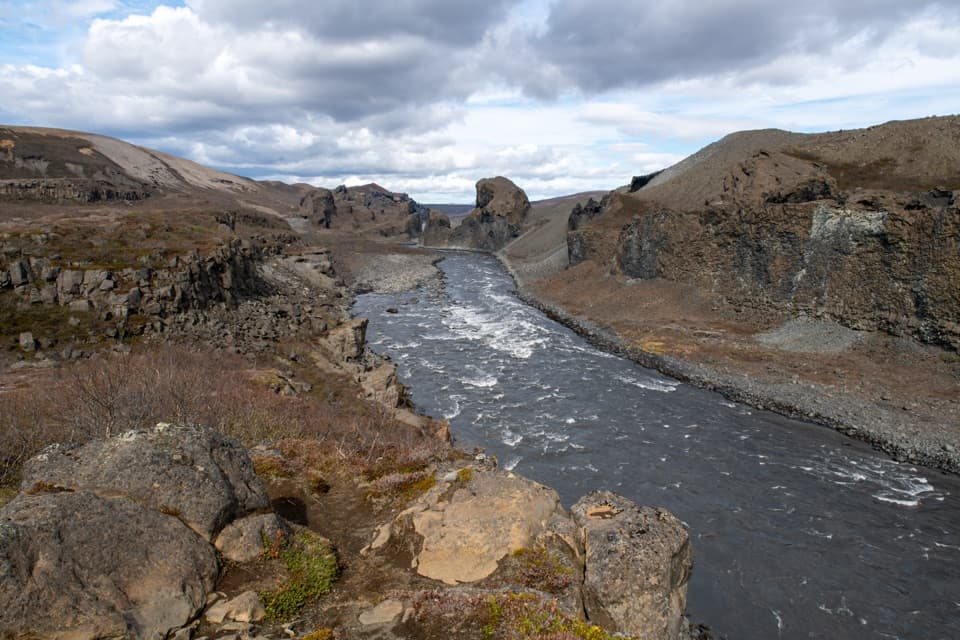
Vatnajökull National Park
Two-day canyon traverse from Ásbyrgi to Dettifoss over a cold ford.
Photo: Hansueli Krapf, CC BY-SA 4.0, via Wikimedia Commons
Overview
This is the full one-way, two-day canyon traverse from Gljúfrastofa Visitor Centre in Ásbyrgi to the west-side Dettifoss car park. The park’s whole-route distance is 32 km (19.9 mi), with roughly 11–13 hours of walking over two days. Arrange pickup or return transport between the endpoints before setting out. Published distances differ on the final leg, and stage time estimates also vary. This entry follows the main marked ravine route, not the steep lowland alternative.
Map & elevation
Plan your hike

The highest, rockiest slopes around here are a summer buffet for grizzly bears.
Vatnajökull Tour Guide
Parkwolf is a GPS audio tour guide for Vatnajökull National Park. As you drive, it chimes in with what’s ahead: hidden gems, upcoming stops, history, geology, and wildlife, right through your car’s speakers.
Recorded for this trailhead
Gljúfrastofa: Choosing an Ásbyrgi Walk“You're coming up on Gljúfrastofa Visitor Centre, at the mouth of Ásbyrgi canyon. Stop here if you haven't settled on a walk; the staff can help you choose, and the exhibit introduces the surrounding canyon country.”
Plays as you drive up to this trailhead in the Parkwolf Vatnajökull Tour Guide.
More stories near here in the app
“Fantastic app with many points of information… It’s great to just turn on while you’re driving and it gives you an audio tour of the national Park. We love it!!!!”


Trail guide
The first stage climbs to the Ásbyrgi rim and continues to Vesturdalur. The second follows the main route south through Hólmatungur to Dettifoss. There are no cabins; overnight camping is allowed only at the park campsites in Ásbyrgi, Vesturdalur or Dettifoss. The Dettifoss campground is small and has few facilities.
The selected line takes the rim path by Klappir, Kvíar, Rauðhólar and Hljóðaklettar. The stage is about 12 km. Published estimates vary, so plan for the longer time estimate. For the rim, the easier access crosses the golf course and climbs the lowest cliff section. The direct Tófugjá climb uses a support rope and is discouraged with a heavy pack. Carry all water for this stage: there are no streams or springs along it.
Hljóðaklettar’s dark basalt columns, caves and weathered hollows stand along a crater row exposed when floods scoured away loose ground. South of Vesturdalur, Karl og Kerling’s pillars rise beside the river. Hólmatungur brings a greener contrast: clear springs and streams feed the canyon, with cascades at Hólmárfossar and swirling pools at Katlar. These are rewarding pauses, but allow time for the full second stage.
From Hólmatungur the stored route follows the main marked line north of Hafragil to the west-side Dettifoss car park. A separate lowland option descends among large boulders and has rockfall exposure; it is not included here and is a poor choice with a heavy pack. From the car park, the waterfall viewpoint is an additional 1 km each way, outside this route.
This is a challenging, remote two-day hike with a cold, shallow ford at Stallá. Do not cross if conditions are unsafe. Dogs must remain on leash in the park. Check current route and ford conditions before departure; this description does not establish current access.
Wildlife
 23 sightingsGrey SealMost seen around 5 AMSighting map
 260 sightingsHarbor SealMost seen around 11 AMSighting map
 184 sightingsCaribouMost seen around 7 PMSighting map
 62 sightingsArctic FoxMost seen around 8 PMSighting map
 169 sightingsWhooper SwanMost seen around 5 PMSighting map
 68 sightingsAtlantic PuffinMost seen around 7 PMSighting map
Sighting maps show where each species has been reported across Vatnajökull. Wildlife moves, so no sighting is guaranteed.
Keep exploring
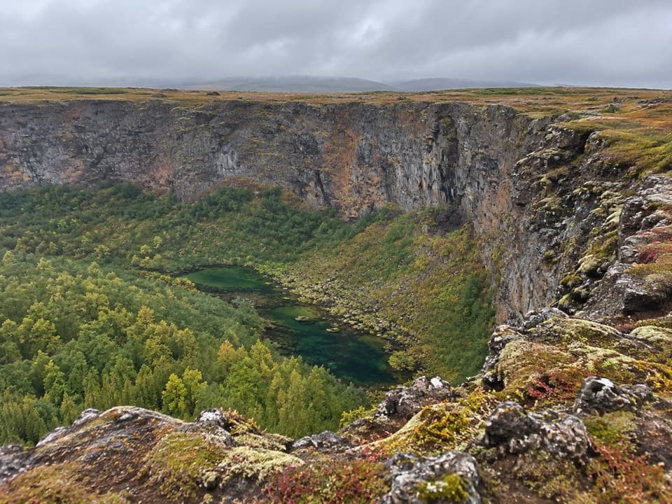 ChallengingKlappir Trail (Á7)9 km · 2.8 hr · At the trailheadA 9 km walk for canyon views and Klappir’s potholes
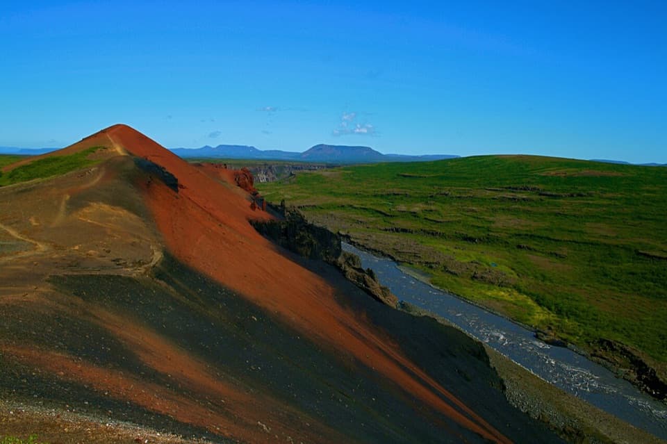 ChallengingÁsbyrgi–Vesturdalur Rim Trail12.7 km · 4.5 hr · At the trailheadCanyon views, Rauðhólar ridges, and Hljóðaklettar basalt.
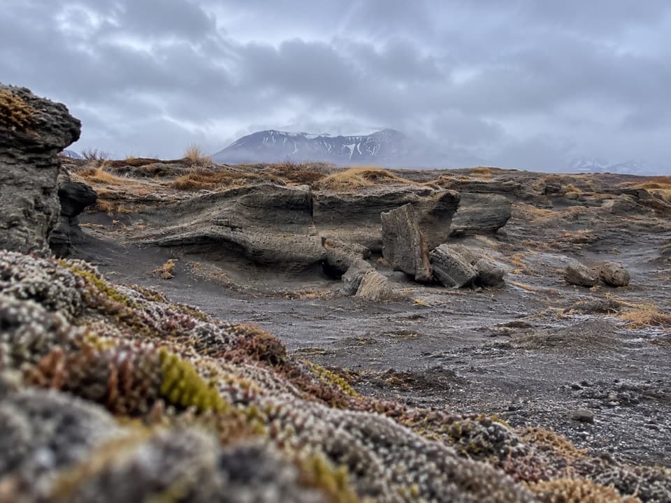 ChallengingKúahvammur Circle (Á8)12.7 km · 4.5 hr · At the trailheadA 12.7 km circuit linking Klappir and Kúahvammur.
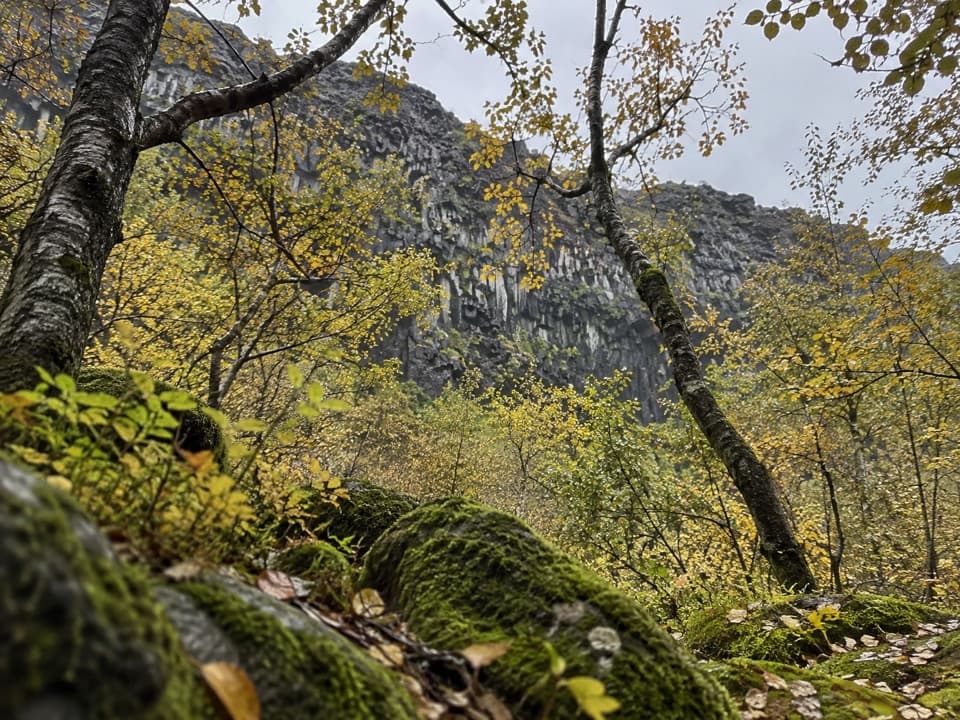 EasySkógarstígur (Á3) Trail4 km · 1.5 hr · At the trailheadBirch woods and old charcoal pits lead to a quiet canyon pool.
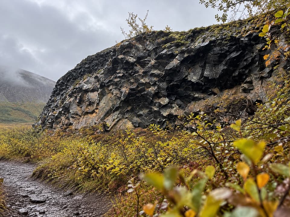 ChallengingKvíar Trail17 km · 6.5 hr · At the trailheadA long loop for canyon views and flood-shaped ground.
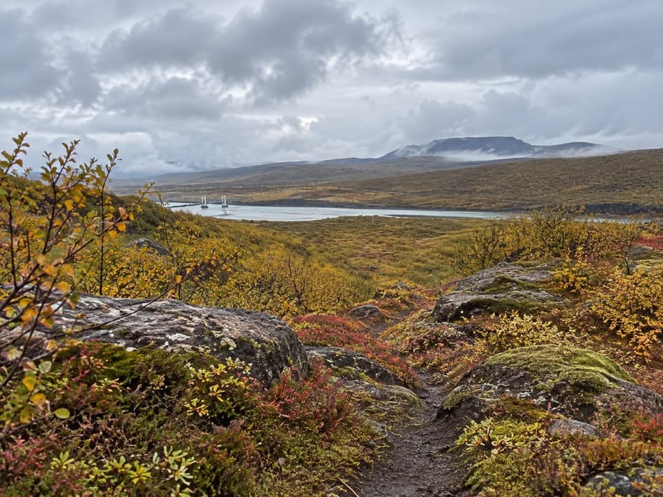 ModerateÁshöfði – Around the Hill7.5 km · 2.5 hr · At the trailheadÁshöfði’s loop links birch woodland, moorland, and a canyon view.
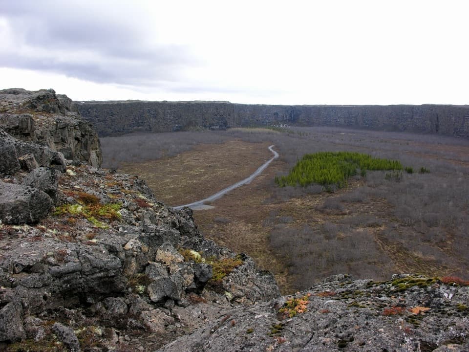 EasyEyjan in Ásbyrgi4.5 km · 1.8 hr · 0.5 km awayViews from Eyjan over the canyon at the heart of Ásbyrgi.
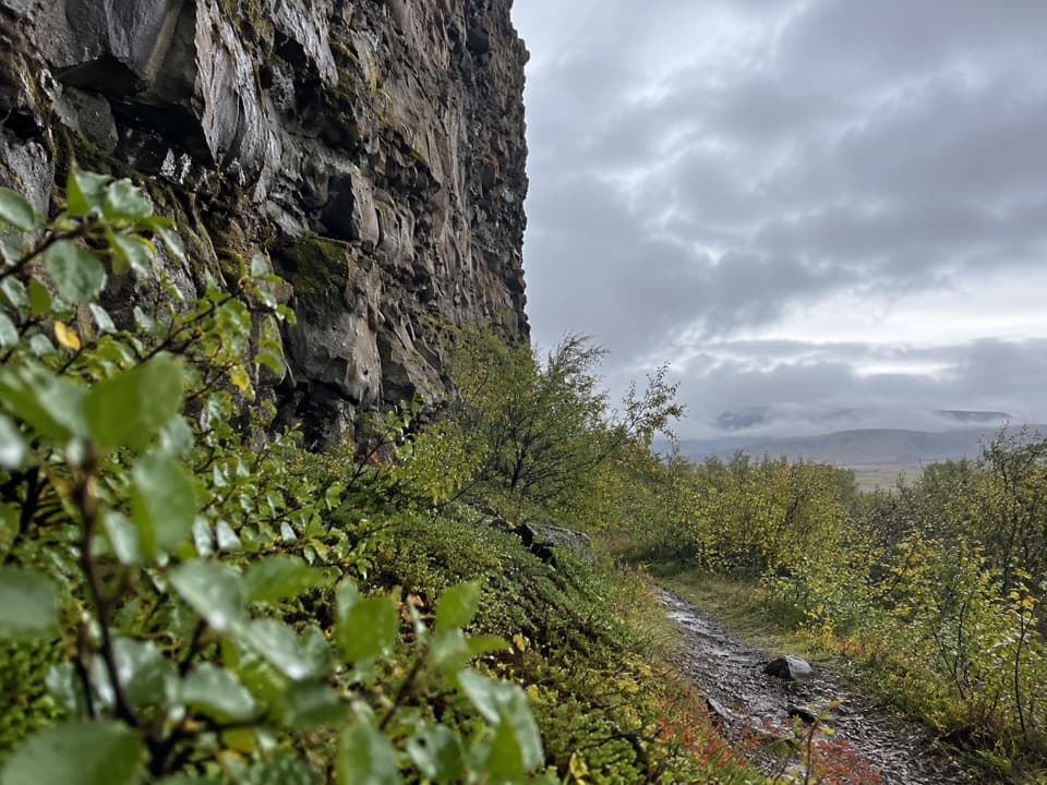 EasyUnderneath Eyjan3.5 km · 1.3 hr · 0.7 km awayA short, easy walk beneath Eyjan’s high cliff.
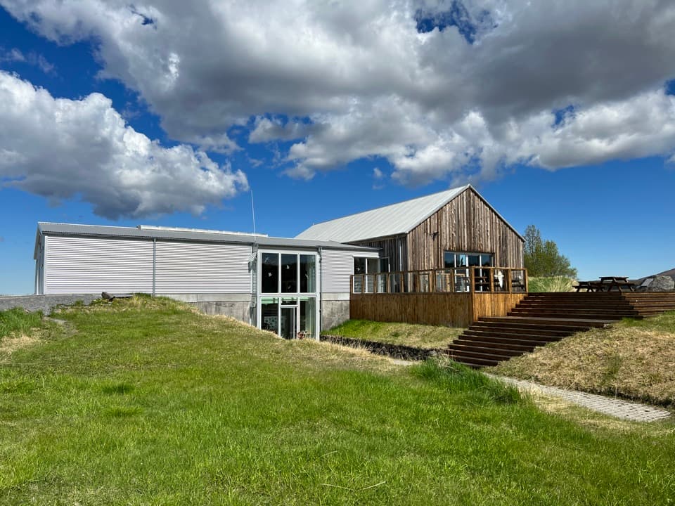 Visitor center · At the trailheadGljúfrastofa Visitor CentreSort out your Ásbyrgi walks before heading into the canyon.
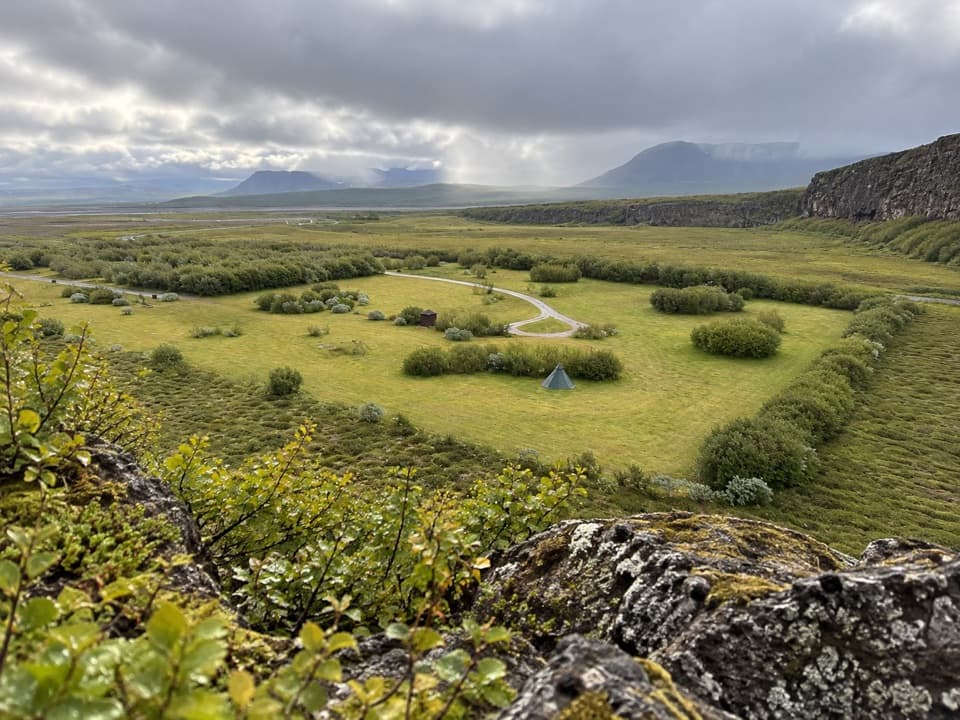 Campground · 0.4 km awayÁsbyrgi CampgroundBirch-shaded pitches with a ridge walk starting just beyond camp.
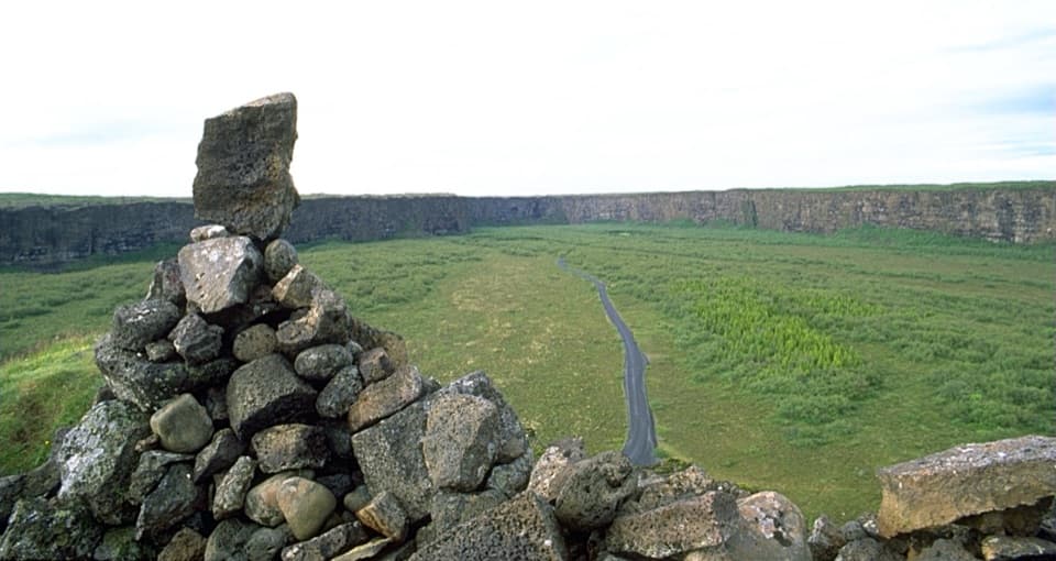 Sight · 2 km awayEyjan Viewpoint (Ásbyrgi)A 4.5 km walk opens up the horseshoe shape below.
 Sight · 3.6 km awayÁsbyrgi Canyon and BotnstjörnA quiet pond beneath high cliffs, reached on a short woodland loop.
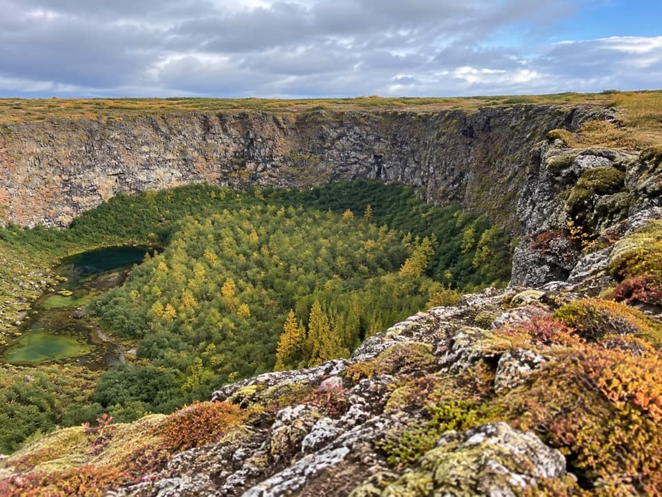 Sight · 3.6 km awayKlappir ViewpointA hard rim hike to Ásbyrgi’s cliffs and unusual potholes.Sight · 9 km awayRauðhólar (Red Hills)A red volcanic ridge and canyon view worth a proper hike.
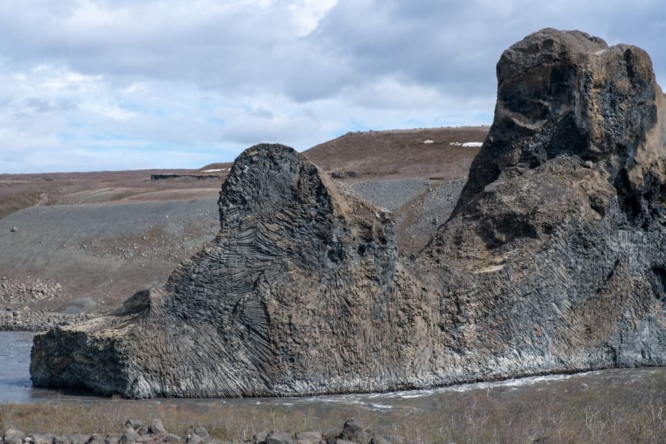 Sight · 9.6 km awayHljóðaklettar (Echo Rocks)A maze of basalt towers left behind by an ancient crater row.
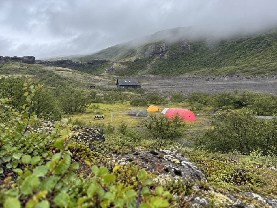 Campground · 11 km awayVesturdalur CampgroundA tent base for walking the volcanic Echo Rocks.
Parkwolf’s Vatnajökull ranking

The audio tour guide for the drive, plus offline maps, trails, and wildlife heatmaps for when the signal drops.




