Overview
About Bræðrafell Hut
Why stop
- A useful roof on the Herðubreiðarlindir–Drekagil crossing.
Heads up
- No dependable water supply.
Map
Where it is

The highest, rockiest slopes around here are a summer buffet for grizzly bears.
Vatnajökull Tour Guide
Your drive to Bræðrafell Hut, narrated.
Parkwolf is a GPS audio tour guide for Vatnajökull National Park. As you drive, it chimes in with what’s ahead: hidden gems, upcoming stops, history, geology, and wildlife, right through your car’s speakers.
- 298 audio storiesacross Vatnajökull’s roads, triggered by GPS as you drive
- Wildlife heatmapsfor Grey Seal, Harbor Seal, Caribou, and 13 more
- Works offlinemaps, 92 trails, 75 places, and audio download before you lose signal
- CarPlay readysimple controls built for the drive
“Fantastic app with many points of information… It’s great to just turn on while you’re driving and it gives you an audio tour of the national Park. We love it!!!!”


Guide
More about Bræðrafell Hut
A booked night in the highlandsBræðrafell Hut is a remote, locked mountain hut with 16 bunks at about 720 m in Vatnajökull’s…
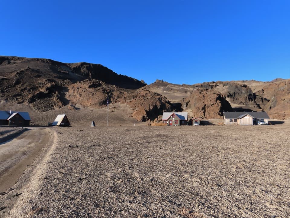
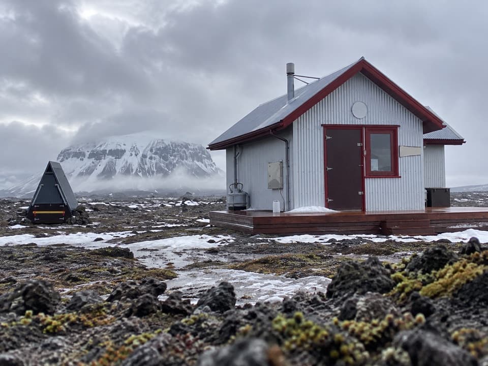
Bræðrafell Hut is a remote, locked mountain hut with 16 bunks at about 720 m in Vatnajökull’s highlands. It makes sense as an overnight on a long trek through southern Ódáðahraun, or as a base for a planned Herðubreið climb; it isn’t a drive-up stop. Book ahead and get the key-box code before setting out.
Long approaches, on footFrom Herðubreiðarlindir, the marked trail is 18.
From Herðubreiðarlindir, the marked trail is 18.3 km and typically takes 7–9 hours; the park rates it challenging. A challenging marked route continues south to Drekagil for 20.4 km. The westward approach begins at the end of a jeep track, not at the hut itself.
Bring your own waterBring a sleeping bag and all your provisions.
Bring a sleeping bag and all your provisions. The hut has a stove, gas hob, cooking utensils, 220 V inverter power and an outhouse. There’s no natural water source. Roof rainwater may be collected in summer, but don’t count on it as drinking water; carry your own. There are no shops or restaurants in the Askja highlands.
A newer hut in old volcanic countryThe Touring Club of Akureyri first built a hut here in 1977; the current 16-bunk building…
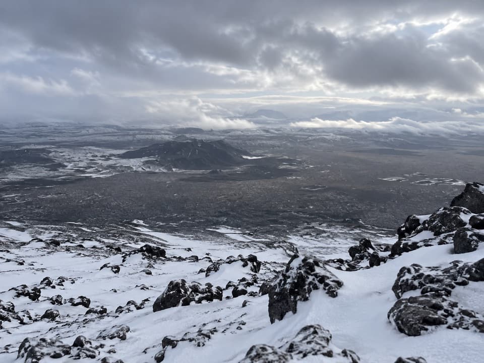
The Touring Club of Akureyri first built a hut here in 1977; the current 16-bunk building replaced it in 2016. Around the route, lava formations rise near Bræðrafell and Kollóttudyngja, while Flötudyngja has craters, rope lava and collapse features.
Wildlife
Wildlife in Vatnajökull
 23 sightingsGrey SealMost seen around 5 AMSighting map
 260 sightingsHarbor SealMost seen around 11 AMSighting map
 184 sightingsCaribouMost seen around 7 PMSighting map
 62 sightingsArctic FoxMost seen around 8 PMSighting map
 169 sightingsWhooper SwanMost seen around 5 PMSighting map
 68 sightingsAtlantic PuffinMost seen around 7 PMSighting map
Sighting maps show where each species has been reported across Vatnajökull. Wildlife moves, so no sighting is guaranteed.