Parking
Start at the end of the road west of Herðubreið, about a two-hour drive from Herðubreiðarlindir.
Vatnajökull National Park
A steep 1,000-meter climb to a broad summit panorama.
Overview
Herðubreið’s Hb5 is a 3.7-mile (5.9-km) out-and-back from the road end west of the mountain. It gains about 1,000 meters (3,280 feet) on a steep, exposed line through scree and the only passable break in the upper cliffs. The last stretch crosses rough summit ground to the rocky cone. Allow around six hours on the mountain. This is an expert-level ascent for fit hikers who are steady on loose ground and comfortable with a scramble.
 Parkwolf’s verdictIs this the climb for you?
Map & elevation
Plan your hike

The highest, rockiest slopes around here are a summer buffet for grizzly bears.
Vatnajökull Tour Guide
Parkwolf is a GPS audio tour guide for Vatnajökull National Park. As you drive, it chimes in with what’s ahead: hidden gems, upcoming stops, history, geology, and wildlife, right through your car’s speakers.
More stories near here in the app
“Fantastic app with many points of information… It’s great to just turn on while you’re driving and it gives you an audio tour of the national Park. We love it!!!!”


Trail guide
The trailhead is not at Herðubreiðarlindir: it is at the end of the road west of the mountain. The drive from Lindir takes around two hours, so plan a full day if you are returning there. The park estimates about 12 hours from Lindir and back. Check with rangers and tell them your travel plan before setting off; save energy for the steep return on the same route.
The route climbs loose scree before the ground firms near the cliffs. Use the single passable break through the upper band; the park warns against trying other lines. Above it, cross rough summit ground toward the cone. Rockfall is an ongoing hazard, so leave space between hikers. Snow and ice can make the ascent especially difficult early in summer.
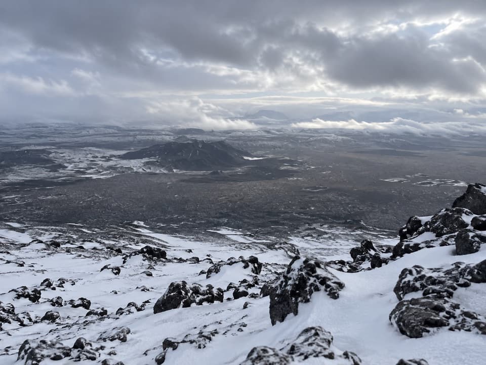
The payoff is a wide panorama over the highlands. A little summit rock in the foreground helps show the scale of the open lava plain. Herðubreið is a móberg table mountain and is often called Iceland’s national mountain; the park says its sole passable ascent was first climbed in 1908.
Herðubreið’s shape inspired many paintings by Jón A. Stefánsson and Stórval (Stefán Jónsson of Möðrudalur), who painted the mountain in a naïve style. Its distinct table shape is easy to recognize on the long drive through the highlands.
Wildlife
 23 sightingsGrey SealMost seen around 5 AMSighting map
 260 sightingsHarbor SealMost seen around 11 AMSighting map
 184 sightingsCaribouMost seen around 7 PMSighting map
 62 sightingsArctic FoxMost seen around 8 PMSighting map
 169 sightingsWhooper SwanMost seen around 5 PMSighting map
 68 sightingsAtlantic PuffinMost seen around 7 PMSighting map
Sighting maps show where each species has been reported across Vatnajökull. Wildlife moves, so no sighting is guaranteed.
Keep exploring
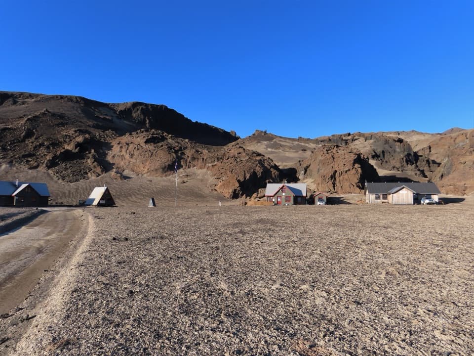 ChallengingBræðrafell – Drekagil Trail20.4 km · 8 hr · 6.7 km awayA full-day highland crossing to Drekagil’s lava-walled gorge.
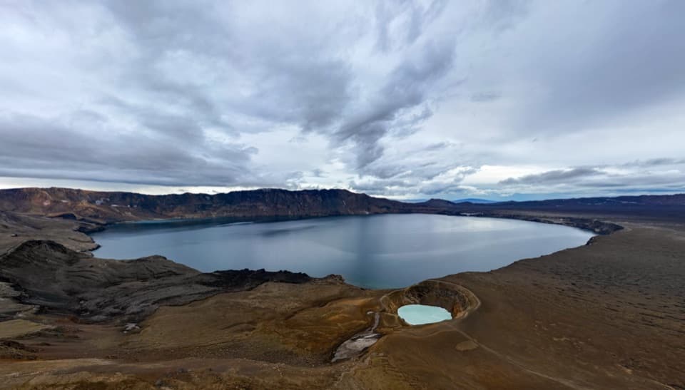 ChallengingÖskjuvegur (Askja Trail)97 km · 1.4 days · 8.2 km awayFive days across lava to Askja's caldera and the highlands
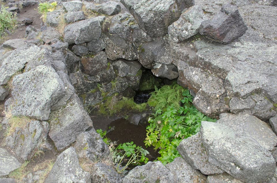 ModerateLindahraun Lava Loop1.7 km · 1 hr · 8.2 km awayA short lava loop tied to Fjalla-Eyvindur’s legend
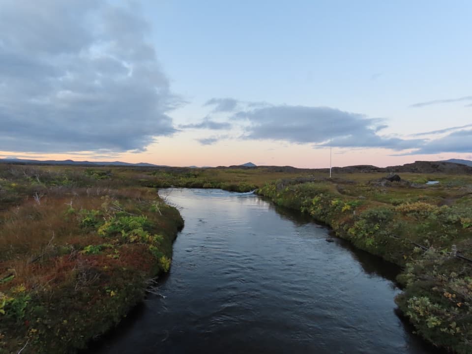 ModerateLava along Lindaá (Hb3)2.5 km · 2 hr · 8.2 km awayA short, challenging loop along Lindaá at the lava-field edge.
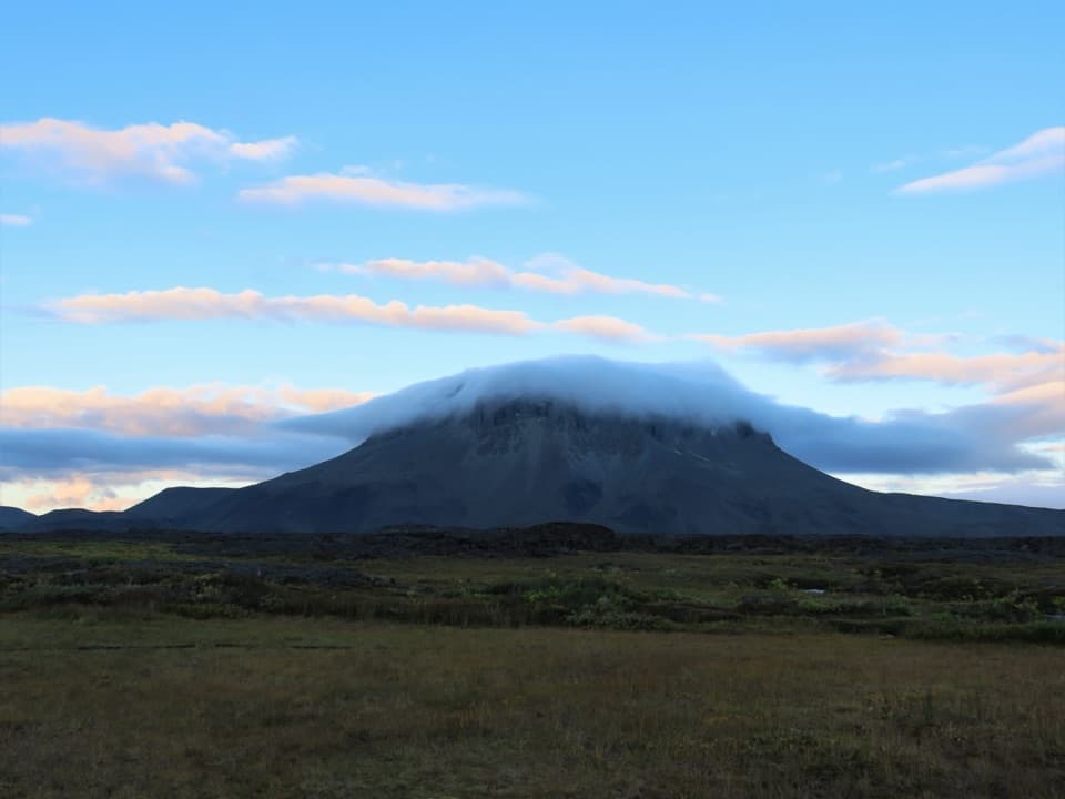 ChallengingHerðubreiðarlindir–Bræðrafell (Ö1)18.3 km · 8 hr · 8.2 km awayA marked highland crossing from Herðubreiðarlindir to Bræðrafell hut.
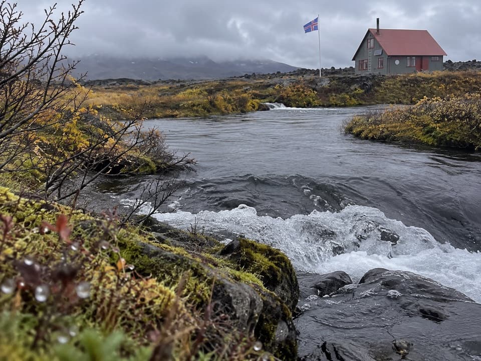 ChallengingJunction of Jökulsá and Kreppa (Hb4)3.4 km · 1 hr · 8.3 km awayA short loop across lava to the Jökulsá–Kreppa meeting point.
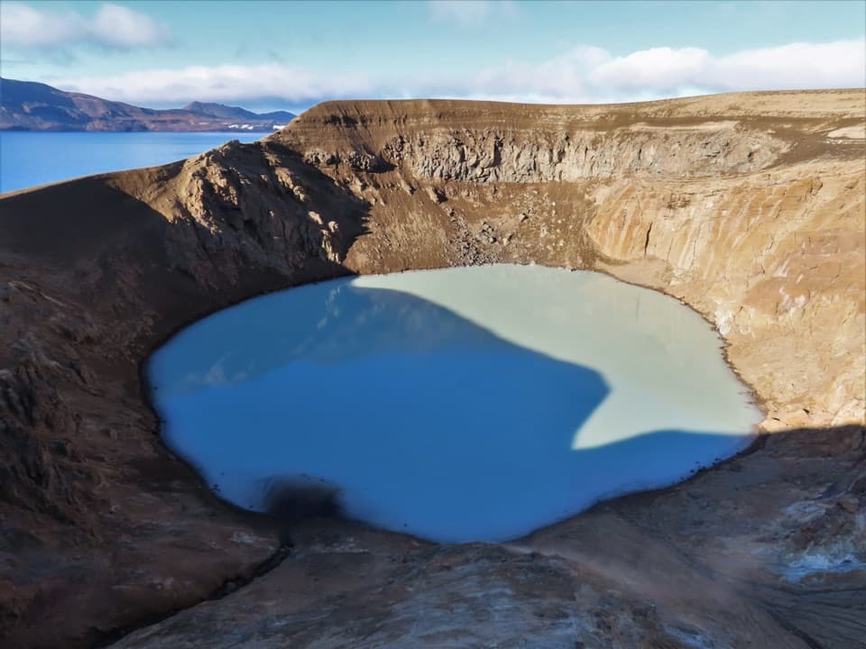 ChallengingDreki–Dyngjufjöll–Víti Trail8 km · 4.5 hr · 18.1 km awayA rugged mountain crossing to Víti and open views into Askja.
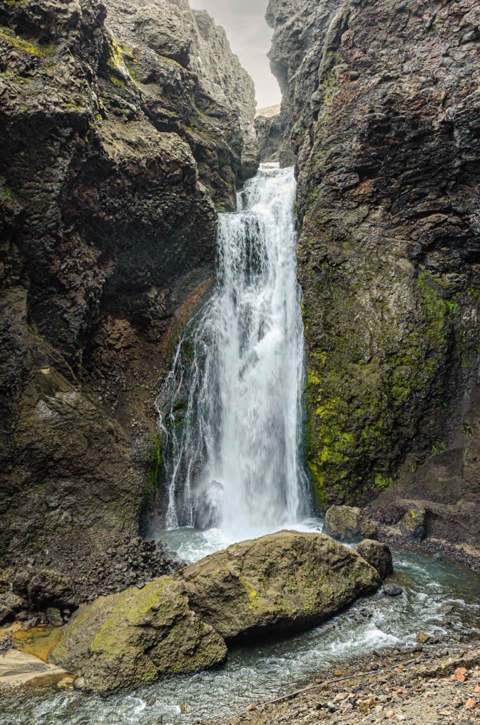 ChallengingUp into Drekagil0.7 km · 1 hr · 18.1 km awayShort, rocky walking into a volcanic gorge to a waterfall.
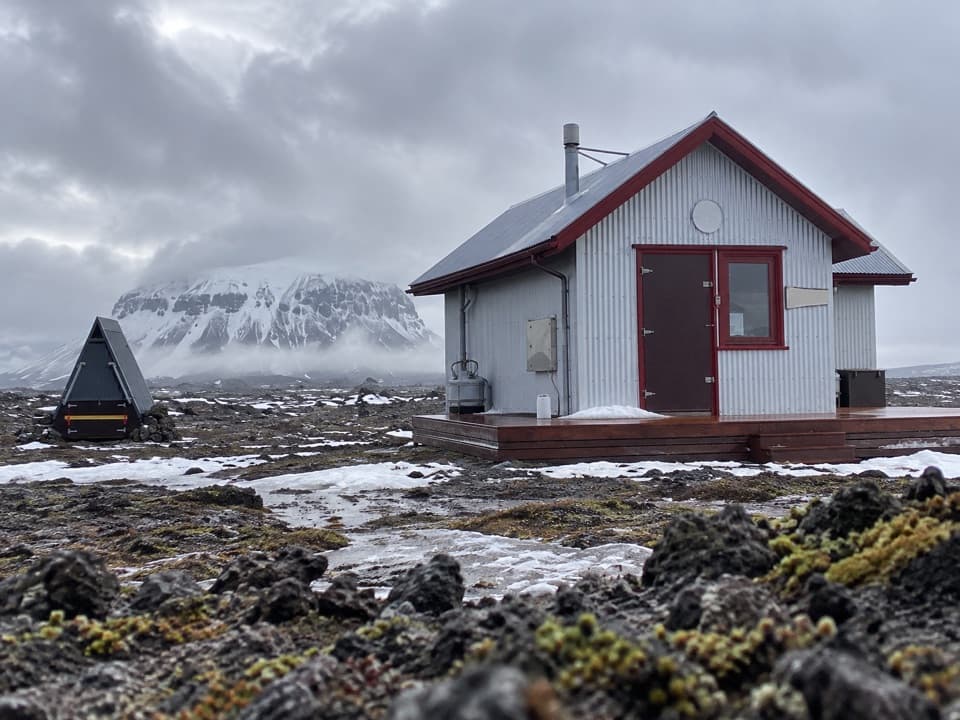 Lodging · 6.7 km awayBræðrafell HutBook ahead for a 16-bunk break in remote lava country.
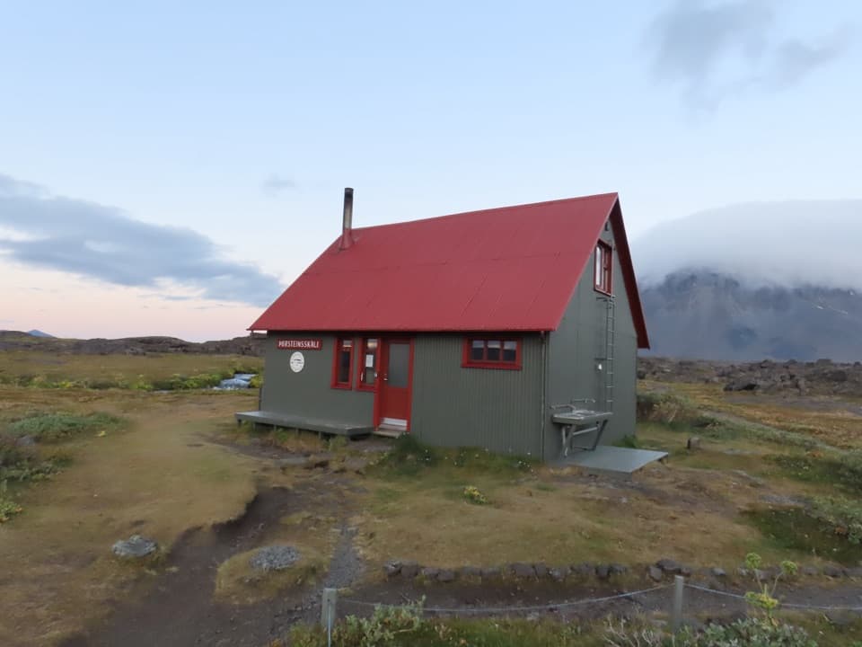 Campground · 8.2 km awayÞorsteinsskáli Hut and CampgroundA remote overnight base in a spring-fed highland oasis.Sight · 8.2 km awayHerðubreiðarlindir SpringsA spring-fed green patch below Herðubreið’s flat crown.
Parkwolf’s Vatnajökull ranking
The audio tour guide for the drive, plus offline maps, trails, and wildlife heatmaps for when the signal drops.




