Bræðrafell – Drekagil Trail in Vatnajökull National Park

Vatnajökull National Park

Bræðrafell – Drekagil Trail

A full-day highland crossing to Drekagil’s lava-walled gorge.

Photo: Rémih / Wikimedia Commons / CC BY-SA 4.0

Length
20.4km
Time
8hr
Elev. change
110m
Difficulty
Challenging
  • High point 784 m
Parkwolf audio tour298 stories across Vatnajökull’s roads

Overview

About Bræðrafell – Drekagil Trail

Why go

  • A full highland crossing through Askja’s volcanic desert
  • Finishes beside Drekagil and a separate waterfall walk

Heads up

  • A long day over rough highland footing
  • Little to no water is available along the stage

Map & elevation

The route

Loading the Vatnajökull map
Full map
Elevation674–784 m
TrailheadBræðrafell hut65.18808, -16.53807
Keep this map with you offline in the Parkwolf app

Plan your hike

Before you go

Parking

This is a point-to-point hut stage, not a loop from one car park. It starts at Bræðrafell hut and finishes at the Drekagil access near Dreki; no dedicated trailhead parking arrangement was found. Plan access and onward transport as part of a longer Askja itinerary.

Safety

There is little to no water along the route; carry the full drinking supply before leaving Bræðrafell. The separate Drekagil gorge walk can involve repeated stream crossings and unclear wayfinding.

A park ranger sits on a dash-mounted phone, talking, as Parkwolf’s Tour Guide plays “Army Cutworm Moths: A Grizzly Bear Buffet” on Grand Loop Road below Dunraven Pass in Yellowstone
Parkwolf Tour GuideThe highest, rockiest slopes around here are a summer buffet for grizzly bears.

Vatnajökull Tour Guide

Your drive to Bræðrafell – Drekagil Trail, narrated.

Parkwolf is a GPS audio tour guide for Vatnajökull National Park. As you drive, it chimes in with what’s ahead: hidden gems, upcoming stops, history, geology, and wildlife, right through your car’s speakers.

  • 298 audio storiesacross Vatnajökull’s roads, triggered by GPS as you drive
  • Wildlife heatmapsfor Grey Seal, Harbor Seal, Caribou, and 13 more
  • Works offlinemaps, 92 trails, 75 places, and audio download before you lose signal
  • CarPlay readysimple controls built for the drive
★★★★★
“Fantastic app with many points of information… It’s great to just turn on while you’re driving and it gives you an audio tour of the national Park. We love it!!!!”
JMJamesApp Store review
Download Parkwolf on the App StoreGet Parkwolf on Google Play

4.7 from 8,600+ ratings

Trail guide

Hiking Bræðrafell – Drekagil Trail

A full-day crossingBræðrafell–Drekagil is a 20.4 km (12.

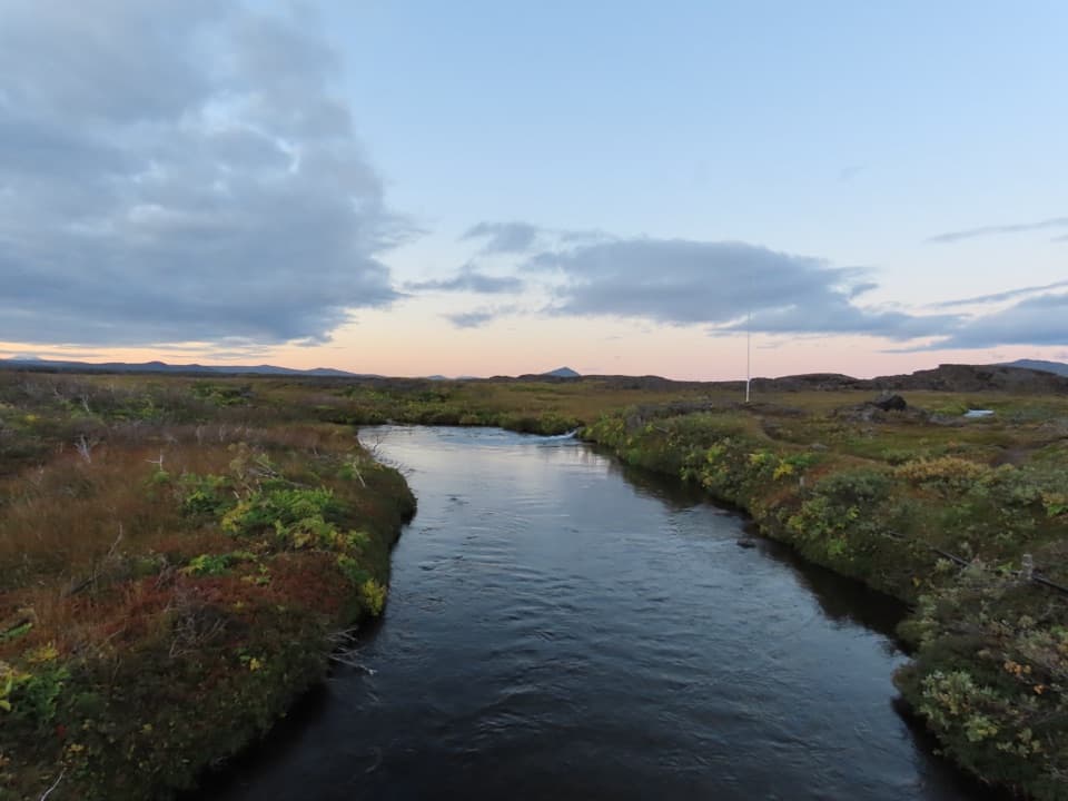
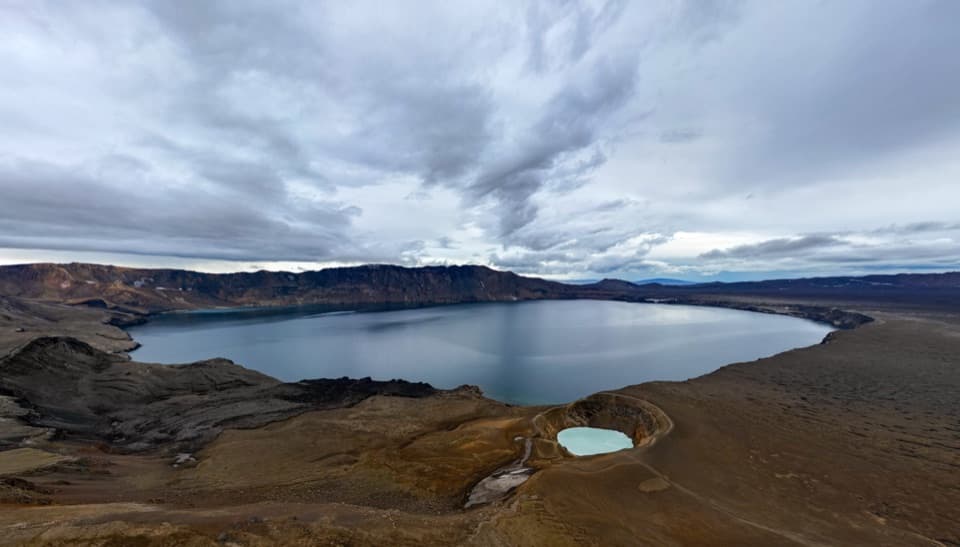
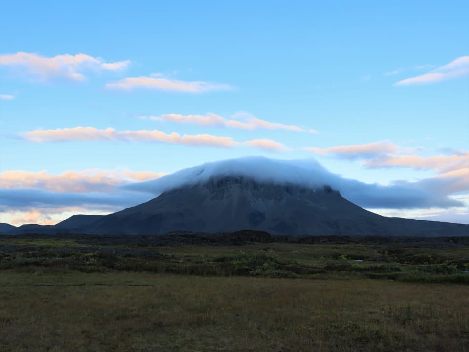
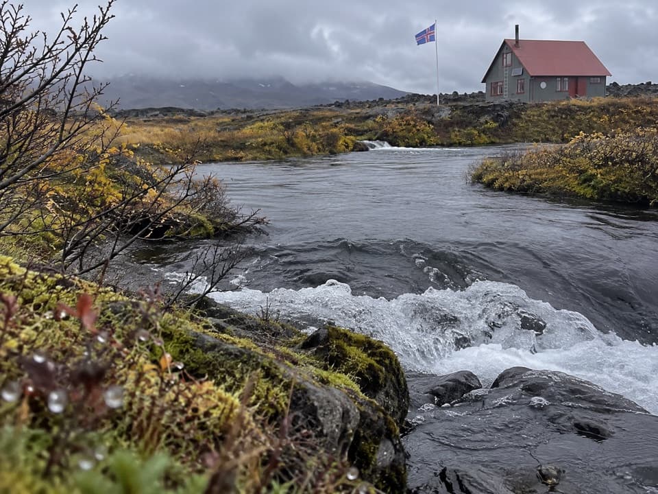
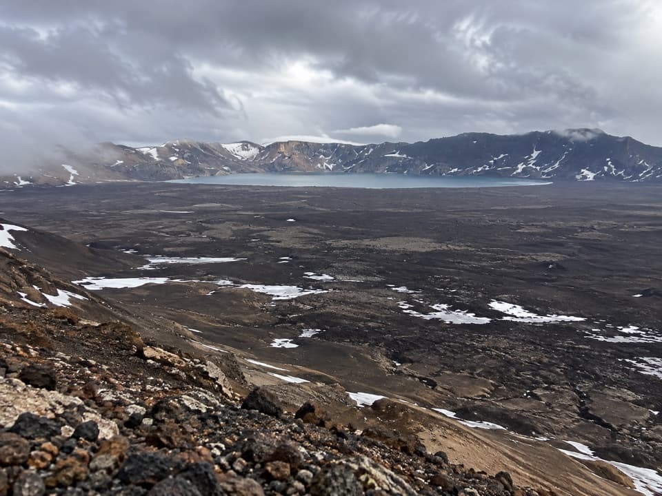
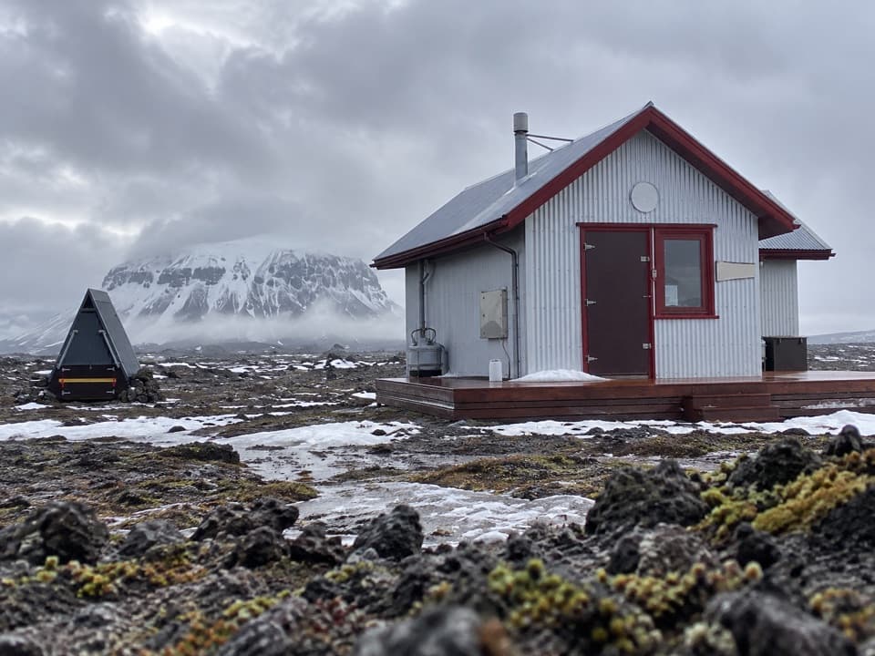
Bræðrafell–Drekagil is a 20.4 km (12.7 mi) one-way highland stage from Bræðrafell hut to the Dreki/Drekagil access. It crosses open volcanic desert and finishes beside a gorge, making this a link for a longer Askja traverse rather than a standalone loop. Allow roughly eight hours for the walk; the terrain and distance make it a full-day commitment.

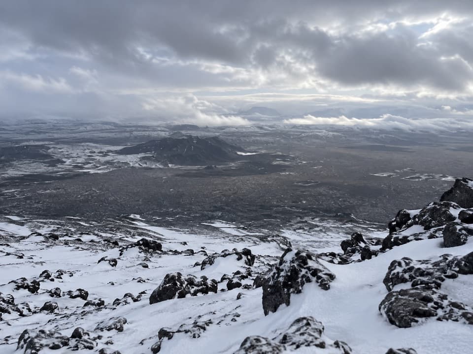
Rough ground and little waterThe first part is described as crossing several block-lava flows, rough footing that can slow…

The first part is described as crossing several block-lava flows, rough footing that can slow you down, especially after rain. Water is scarce to absent along Ö2. Carry all the drinking water you need before leaving Bræðrafell; there is no reliable refill point along the stage.

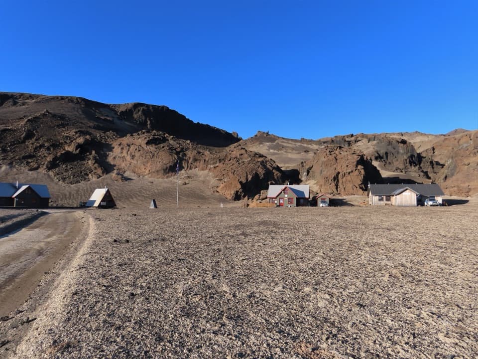
The final approachNear Dreki, the mapped route joins a rough highland road for the last approach to Drekagil.

Near Dreki, the mapped route joins a rough highland road for the last approach to Drekagil. The stage ends at the Drekagil access, a short distance from the huts; it is a point-to-point route, so you need a plan for the two ends before setting out.

Drekagil as an add-onA separate marked 0.

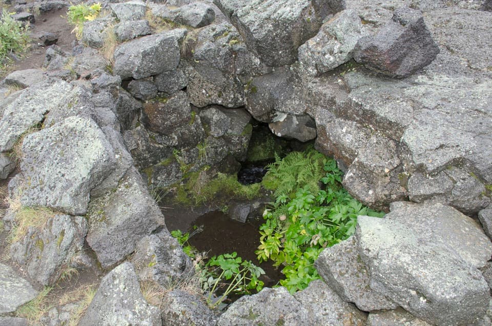
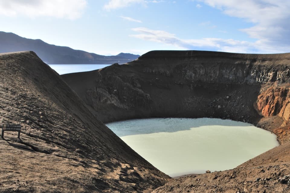
A separate marked 0.6 km walk goes up the gorge past lava and hyaloclastite formations to a waterfall. Treat it as an extra outing, not part of the 20.4 km stage. The gorge walk can involve repeated stream crossings, and the line through the canyon is not obvious everywhere, so turn back if you lose the route.

Wildlife

Wildlife in Vatnajökull

All Vatnajökull wildlife maps

Sighting maps show where each species has been reported across Vatnajökull. Wildlife moves, so no sighting is guaranteed.

Parkwolf’s Vatnajökull ranking

Top-rated trails in Vatnajökull

All 92 trails
  1. 1Svartifoss–Sjónarsker–Sel Loop (S2)Moderate · 5.8 km
  2. 2Dettifoss and Selfoss – West BankEasy · 2.5 km
  3. 3Svartifoss TrailModerate · 3 km
  4. 4Skaftafellsjökull Glacier TrailEasy · 4.1 km
  5. 5Múlagljúfur Canyon TrailModerate · 3.9 km
  6. 6Kristínartindar S4 Summit CircuitChallenging · 17.9 km

Take Parkwolf to Vatnajökull.

The audio tour guide for the drive, plus offline maps, trails, and wildlife heatmaps for when the signal drops.

4.7 from 8,600+ ratings

Download Parkwolf on the App StoreGet Parkwolf on Google Play