Overview
About Herðubreiðarlindir Springs
Why stop
- A rare green oasis with walks beside spring-fed Lindaá
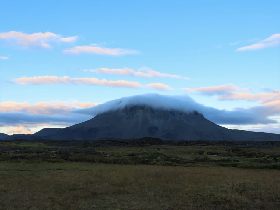
- Herðubreið’s flat-topped profile frames the springs
Heads up
- The summer highland approach requires a 4x4 and river fords
Map
Where it is

The highest, rockiest slopes around here are a summer buffet for grizzly bears.
Vatnajökull Tour Guide
Your drive to Herðubreiðarlindir Springs, narrated.
Parkwolf is a GPS audio tour guide for Vatnajökull National Park. As you drive, it chimes in with what’s ahead: hidden gems, upcoming stops, history, geology, and wildlife, right through your car’s speakers.
Recorded for this place
Herðubreiðarlindir: Springs and a Relocated Hut“You're nearing Herðubreiðarlindir, where cold springs feed Lindaá at the edge of the lava. Stop for a walk beside the water and a view of Herðubreið's flat-topped profile, keeping to the marked paths.”
Plays as you drive up to Herðubreiðarlindir Springs in the Parkwolf Vatnajökull Tour Guide.
More stories near here in the app
- A Year Written Across the Ice
- A Duck Built for Rapids
- An Outlaw's Winter Shelter
- A Search Without an Answer
- 298 audio storiesacross Vatnajökull’s roads, triggered by GPS as you drive
- Wildlife heatmapsfor Grey Seal, Harbor Seal, Caribou, and 13 more
- Works offlinemaps, 92 trails, 75 places, and audio download before you lose signal
- CarPlay readysimple controls built for the drive
“Fantastic app with many points of information… It’s great to just turn on while you’re driving and it gives you an audio tour of the national Park. We love it!!!!”


Guide
More about Herðubreiðarlindir Springs
A spring oasis below HerðubreiðHerðubreiðarlindir is a small, spring-fed oasis in the highlands northwest of Herðubreið, where…
Herðubreiðarlindir is a small, spring-fed oasis in the highlands northwest of Herðubreið, where running water and thick green plants break through the surrounding lava. It’s a worthwhile stop for a short walk and a striking change of landscape; you don’t need to climb the mountain to enjoy it.
Make the highland drive workThis is a summer highland trip.
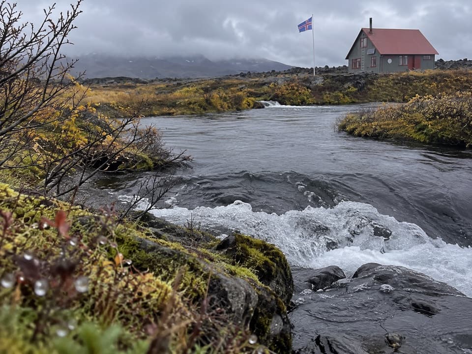
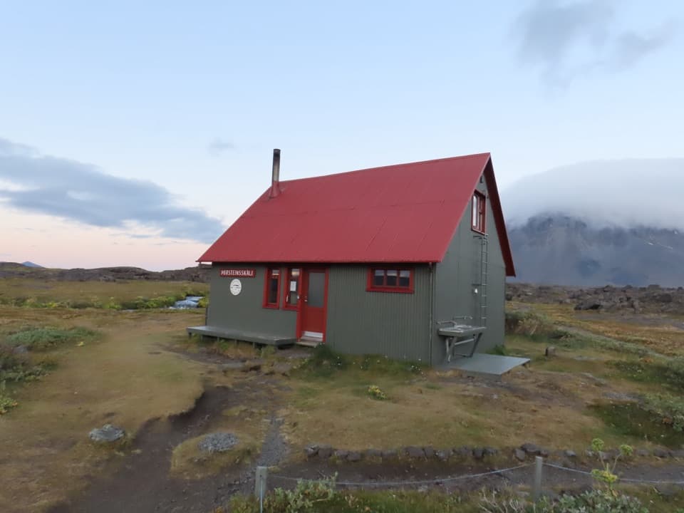
This is a summer highland trip. The F88 approach is seasonal; from Mývatn, the route involves a 4x4 and two river fords, the larger crossing Lindaá. Check road and ford conditions with park rangers before setting out—the current status wasn’t verified. Bring your own drinking water and food: the Askja region has no shops, restaurants, or fuel stations. Nearby Þorsteinsskáli is a separate hut-and-campground stop, not a café; its shared eating tent is for campers’ packed food.
Follow the marked walksMarked routes go around Herðubreiðarvötn and along Lindaá.
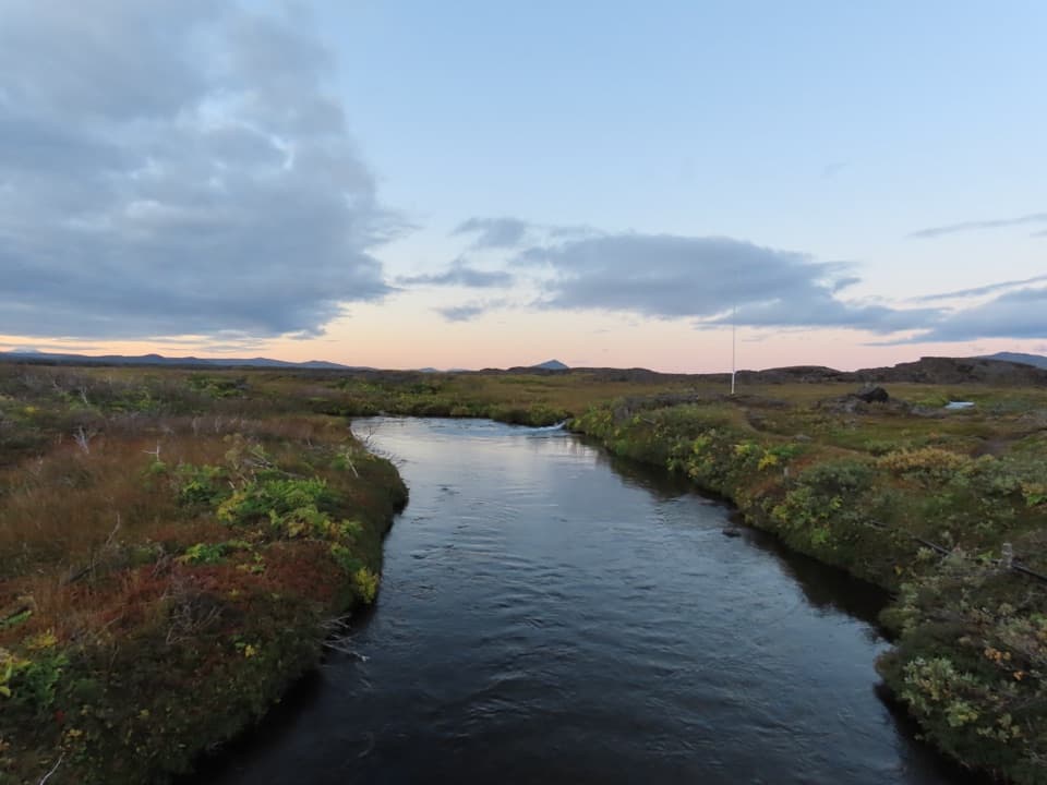
Marked routes go around Herðubreiðarvötn and along Lindaá. A marked out-and-back to Herðubreið’s base takes about two hours total. The terrain looks flat, but distances are easy to underestimate and it’s possible to get turned around among the lava, so stay with the marker posts. For a photo, frame the oasis greenery and water with Herðubreið’s flat-topped profile behind it.
Water at the lava edgeCold springs well up where the lava meets the highland plain and feed Lindaá, which flows on…
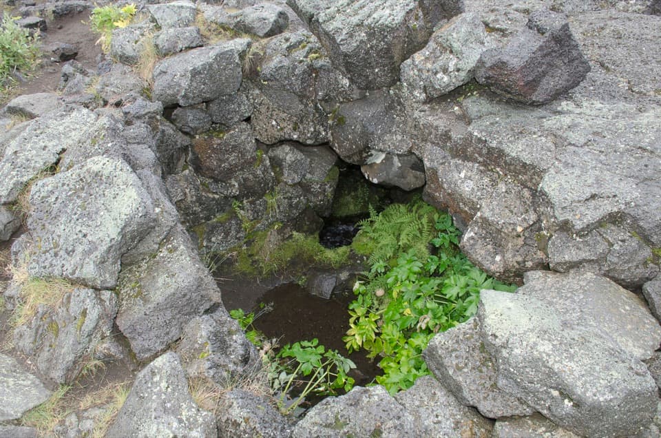
Cold springs well up where the lava meets the highland plain and feed Lindaá, which flows on toward the glacial river Jökulsá. That steady water supports a patch of lush vegetation in an otherwise sparse, rain-shadow landscape; angelica is one plant reported here.
Eyvindarkofi and the outlaw storyThe park says Fjalla-Eyvindur is believed to have spent one winter at Herðubreiðarlindir, while…
The park says Fjalla-Eyvindur is believed to have spent one winter at Herðubreiðarlindir, while also warning that legend and historical accounts are intertwined. Nearby Eyvindarkofi, a small stone-lined shelter associated with him, gives the story a physical landmark within the oasis.
Wildlife
Wildlife in Vatnajökull
 23 sightingsGrey SealMost seen around 5 AMSighting map
 260 sightingsHarbor SealMost seen around 11 AMSighting map
 184 sightingsCaribouMost seen around 7 PMSighting map
 62 sightingsArctic FoxMost seen around 8 PMSighting map
 169 sightingsWhooper SwanMost seen around 5 PMSighting map
 68 sightingsAtlantic PuffinMost seen around 7 PMSighting map
Sighting maps show where each species has been reported across Vatnajökull. Wildlife moves, so no sighting is guaranteed.