Parking
Start at Herðubreiðarlindir in the Þorsteinsskáli area and finish at the Svartárkot farmyard. Arrange a vehicle transfer between the ends before hiking; this is a one-way crossing.
Vatnajökull National Park
Five days across lava to Askja's caldera and the highlands
Overview
Map & elevation
Plan your hike

The highest, rockiest slopes around here are a summer buffet for grizzly bears.
Vatnajökull Tour Guide
Parkwolf is a GPS audio tour guide for Vatnajökull National Park. As you drive, it chimes in with what’s ahead: hidden gems, upcoming stops, history, geology, and wildlife, right through your car’s speakers.
Recorded for this trailhead
Herðubreiðarlindir: Springs and a Relocated Hut“You're nearing Herðubreiðarlindir, where cold springs feed Lindaá at the edge of the lava. Stop for a walk beside the water and a view of Herðubreið's flat-topped profile, keeping to the marked paths.”
Plays as you drive up to this trailhead in the Parkwolf Vatnajökull Tour Guide.
More stories near here in the app
“Fantastic app with many points of information… It’s great to just turn on while you’re driving and it gives you an audio tour of the national Park. We love it!!!!”


Trail guide
Öskjuvegur is a 97 km (60 mi), east-to-west point-to-point trek from Herðubreiðarlindir to Svartárkot. Its five stages are 16–22 km and total about 30–37 hours of walking; many hikers add a day around Askja. It crosses lava deserts, passes Herðubreið and the Dyngjufjöll, then drops north through springs and grazing country. This is a remote highland trek; if you only want the caldera, the separate Vikraborgir–Öskjuvatn walk is 2.5 km. The five published stage distances add to 97 km, while the mapped line measures about 85 km. The difference is unexplained, so use the stage total as the published planning figure and confirm the itinerary before setting out.
The first 19 km take five to six hours, with 240 m of ascent. The route crosses lava pocked with holes partly filled by sand, then runs between Herðubreið's slope and the lava field. It passes the access used for the mountain climb and crosses Flatadyngja, whose summit has a crater, before reaching the hut on Bræðrafell's eastern side.
The next 20 km take six to seven hours. The route crosses two lava mounds and follows the eastern edge of the Dyngjufjöll, between mountain slope and lava. It passes east of Stórukista and Litlakista and the broad lava from Askja's 1961 eruption, then joins F910 to Dreki hut.
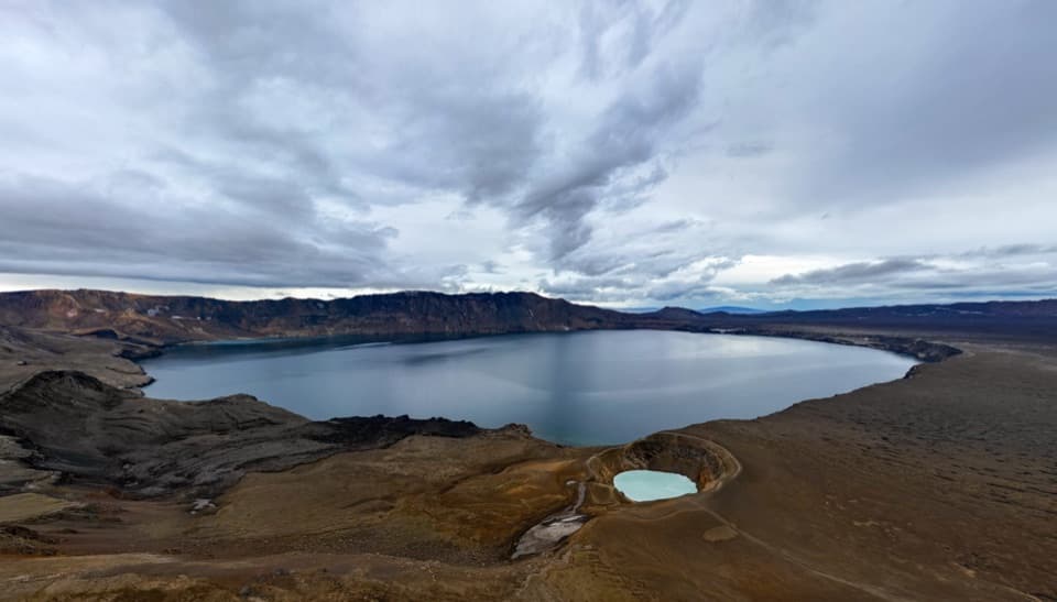
The 20 km stage from Dreki to Dyngjufell is the biggest climb: about 500 m over eight to ten hours. In clear weather, the described high route climbs north of Drekagil to Askja's eastern rim, with a view into the caldera and over Öskjuvatn, then descends toward Víti. A cairn near the crater remembers Rudolf and Knebel, who died nearby in 1907. The route reaches Vikraborgir before heading northwest over rough 1961 lava toward Jónsskarð. In cloud, the published alternative follows the road to Vikraborgir and the marked caldera path; keep that detour distinct when planning the westbound route. From Jónsskarð, stakes and cairns lead down to Dyngjufell. The pass looks south toward Kverkfjöll and Vatnajökull and north across Ódáðahraun. For a photo, include broken lava in the foreground to give the caldera and lakes scale.
From Dyngjufell, allow six to eight hours for 22 km of descent. A staked jeep track crosses sandpit lava and sand, with Bláfjall, Kollóttudyngja, Herðubreið and Trölladyngja on the horizon. After roughly 13 km, leave the track at the marked turn. The line across smoother pahoehoe lava is described as unclear, east of rough, rubbly ʻaʻā; this is the hardest navigation section.
The final 16 km take five to six hours downhill. An old jeep track leads to Efstilækur, a clear spring emerging from lava. The route enters greener ground, passes cold springs, Botnatóft and the ruins of Botnakofi, an old sheep-roundup cabin, then follows Suðurá downstream by Stóruflesja cabin. It turns toward Svartárvatn and finishes at the Svartárkot farmyard. After days among barren lava, the springs and vegetation make the change in landscape unmistakable.
Five huts divide the crossing into overnight stages. Book ahead and bring your own sleeping bag and food; no food service is listed along the route, and most Icelandic huts do not sell hot meals. Drinking water is scarce away from huts, so carry a daily supply and check each stop's facilities rather than assuming they are alike. Arrange transport between Herðubreiðarlindir and Svartárkot before you start.
Rough lava calls for strong-soled boots. The high point is about 1,300 m, where snowstorms and very low visibility can happen even in high summer. Carry a map, compass and GPS; the path after Dyngjufell is unclear, and the descent toward Víti can be slippery, with rock and mud slides possible. Askja is a caldera formed largely at the end of the Ice Age in a major ash eruption; later lava filled parts of the depression, and 1961 lava shapes the crossing.
Wildlife
 23 sightingsGrey SealMost seen around 5 AMSighting map
 260 sightingsHarbor SealMost seen around 11 AMSighting map
 184 sightingsCaribouMost seen around 7 PMSighting map
 62 sightingsArctic FoxMost seen around 8 PMSighting map
 169 sightingsWhooper SwanMost seen around 5 PMSighting map
 68 sightingsAtlantic PuffinMost seen around 7 PMSighting map
Sighting maps show where each species has been reported across Vatnajökull. Wildlife moves, so no sighting is guaranteed.
Keep exploring
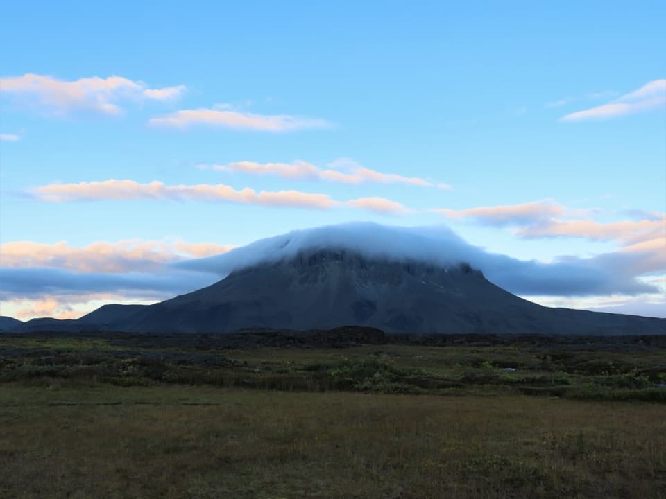 ChallengingHerðubreiðarlindir–Bræðrafell (Ö1)18.3 km · 8 hr · At the trailheadA marked highland crossing from Herðubreiðarlindir to Bræðrafell hut.
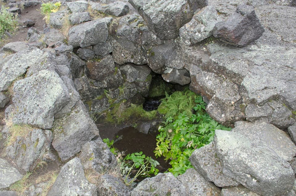 ModerateLindahraun Lava Loop1.7 km · 1 hr · At the trailheadA short lava loop tied to Fjalla-Eyvindur’s legend
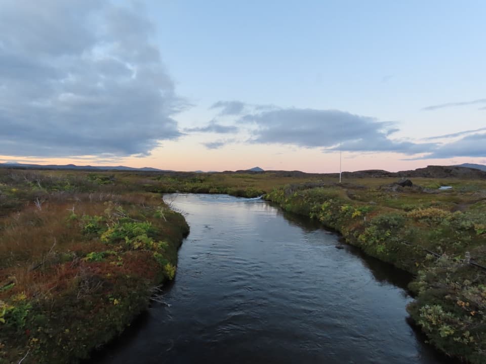 ModerateLava along Lindaá (Hb3)2.5 km · 2 hr · At the trailheadA short, challenging loop along Lindaá at the lava-field edge.
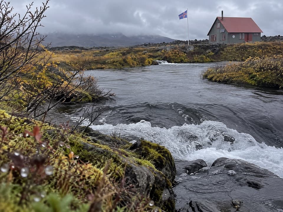 ChallengingJunction of Jökulsá and Kreppa (Hb4)3.4 km · 1 hr · 0.2 km awayA short loop across lava to the Jökulsá–Kreppa meeting point.
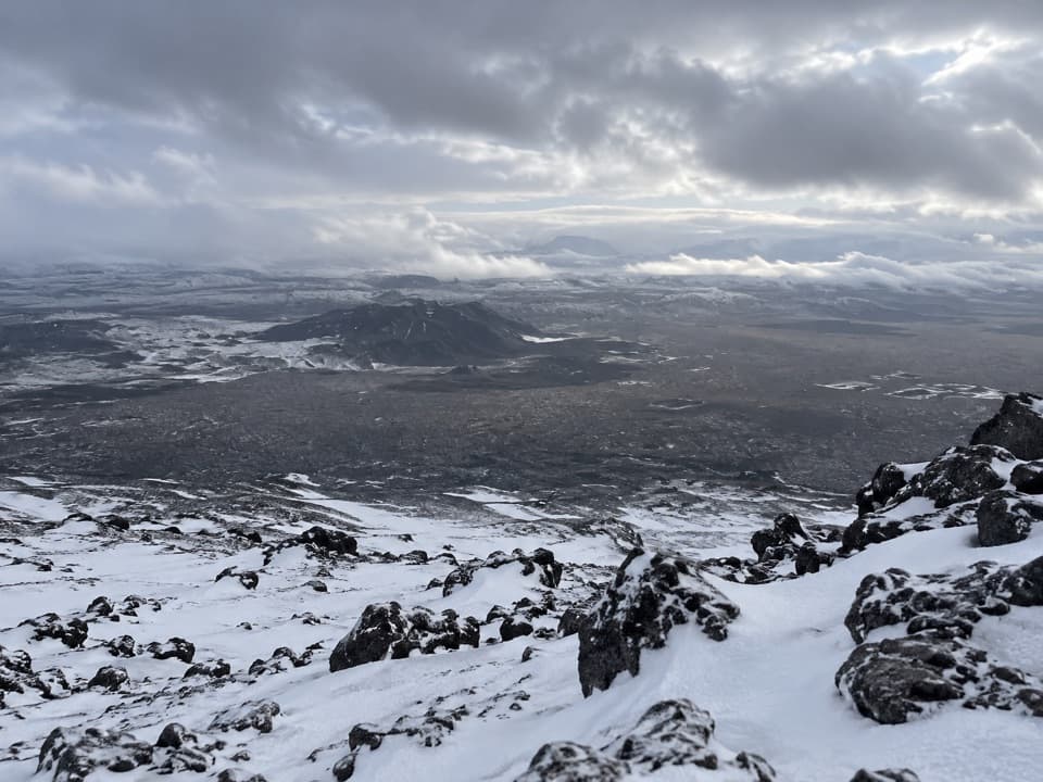 ChallengingHerðubreið Summit Trail (Hb5)5.9 km · 6 hr · 8.2 km awayA steep 1,000-meter climb to a broad summit panorama.
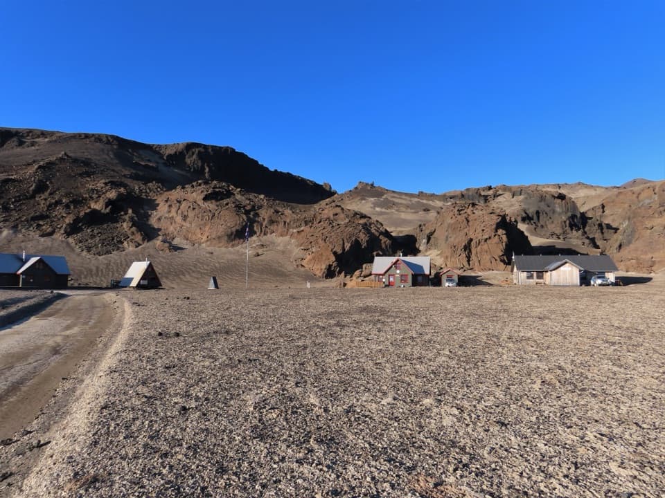 ChallengingBræðrafell – Drekagil Trail20.4 km · 8 hr · 14.7 km awayA full-day highland crossing to Drekagil’s lava-walled gorge.
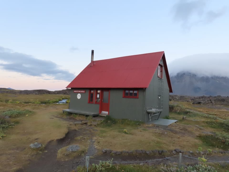 Campground · At the trailheadÞorsteinsskáli Hut and CampgroundA remote overnight base in a spring-fed highland oasis.Sight · At the trailheadHerðubreiðarlindir SpringsA spring-fed green patch below Herðubreið’s flat crown.
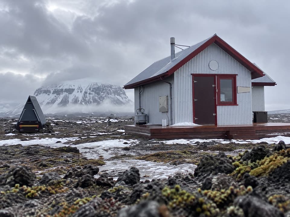 Lodging · 14.7 km awayBræðrafell HutBook ahead for a 16-bunk break in remote lava country.
Parkwolf’s Vatnajökull ranking

The audio tour guide for the drive, plus offline maps, trails, and wildlife heatmaps for when the signal drops.




