Parking
Start at Herðubreiðarlindir near Þorsteinsskáli, where the Hb2 route begins. Parking layout and capacity are not specified; check highland road status and vehicle suitability before driving in.
Vatnajökull National Park
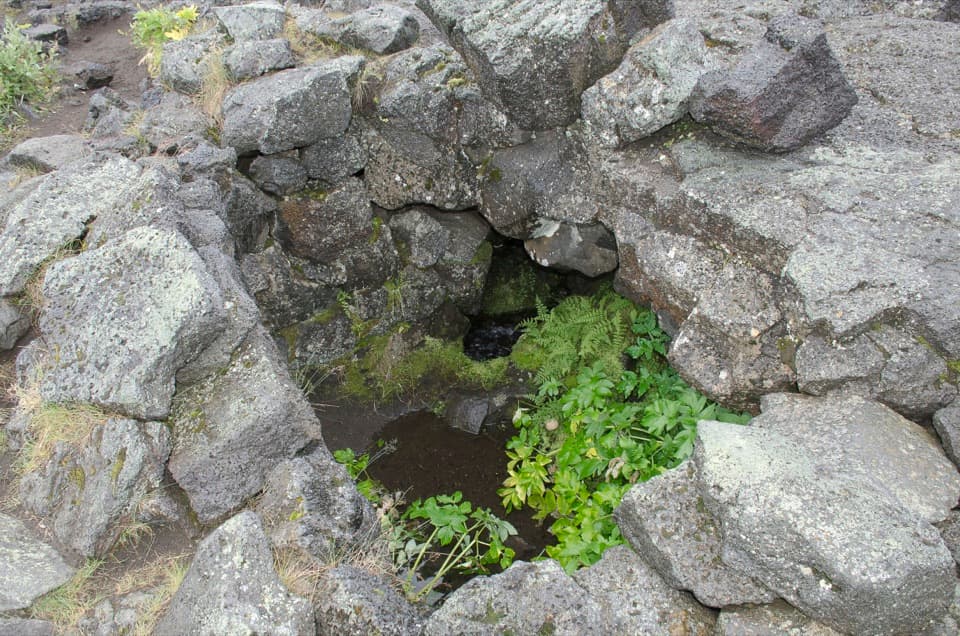
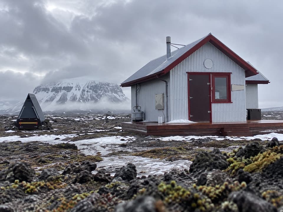
A short lava loop tied to Fjalla-Eyvindur’s legend
Photo: Pjt56, CC BY-SA 4.0, via Wikimedia Commons; source: No editorial changes
Overview
Map & elevation
Plan your hike

The highest, rockiest slopes around here are a summer buffet for grizzly bears.
Vatnajökull Tour Guide
Parkwolf is a GPS audio tour guide for Vatnajökull National Park. As you drive, it chimes in with what’s ahead: hidden gems, upcoming stops, history, geology, and wildlife, right through your car’s speakers.
Recorded for this trailhead
Herðubreiðarlindir: Springs and a Relocated Hut“You're nearing Herðubreiðarlindir, where cold springs feed Lindaá at the edge of the lava. Stop for a walk beside the water and a view of Herðubreið's flat-topped profile, keeping to the marked paths.”
Plays as you drive up to this trailhead in the Parkwolf Vatnajökull Tour Guide.
More stories near here in the app
“Fantastic app with many points of information… It’s great to just turn on while you’re driving and it gives you an audio tour of the national Park. We love it!!!!”


Trail guide
Lindahraun Lava Loop (Hb2) is a 1.7 km circuit from Herðubreiðarlindir into the lava. Allow about one hour. It is a good choice for a short walk among lava, moss and navel lichens, but do not treat it like an easy stroll: the park rates it challenging and warns visitors can lose their way among the lava formations. Keep the route line available offline and check your position as you go.
The route is tied to the reputed hideout of Fjalla-Eyvindur. He is believed to have spent one winter at Herðubreiðarlindir, then lived farther north with Halla; history and legend have become intertwined. Alongside that story, the park singles out navel lichens and moss on the lava as details to notice.
Begin at Herðubreiðarlindir by Þorsteinsskáli. The sign marks Lindahraun Hb-2 at 1.7 km. A hut and camping area are nearby, but no food service is confirmed. Dogs may come along on a leash. This is highland access: roads can be rough or unbridged, and access varies by season, so check road status and vehicle suitability before driving in.
Wildlife
 23 sightingsGrey SealMost seen around 5 AMSighting map
 259 sightingsHarbor SealMost seen around 11 AMSighting map
 184 sightingsCaribouMost seen around 7 PMSighting map
 62 sightingsArctic FoxMost seen around 8 PMSighting map
 169 sightingsWhooper SwanMost seen around 5 PMSighting map
 68 sightingsAtlantic PuffinMost seen around 7 PMSighting map
Sighting maps show where each species has been reported across Vatnajökull. Wildlife moves, so no sighting is guaranteed.
Keep exploring
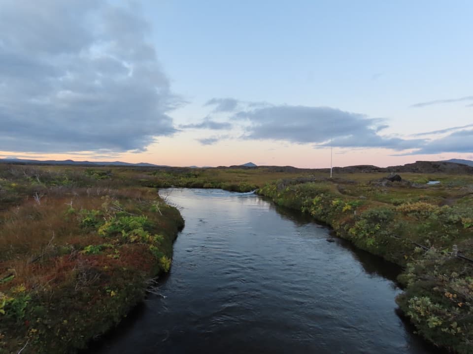 ModerateLava along Lindaá (Hb3)2.5 km · 2 hr · At the trailheadA short, challenging loop along Lindaá at the lava-field edge.
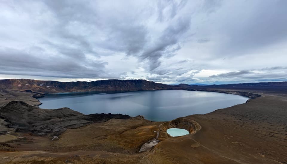 ChallengingÖskjuvegur (Askja Trail)97 km · 1.4 days · At the trailheadFive days across lava to Askja's caldera and the highlands
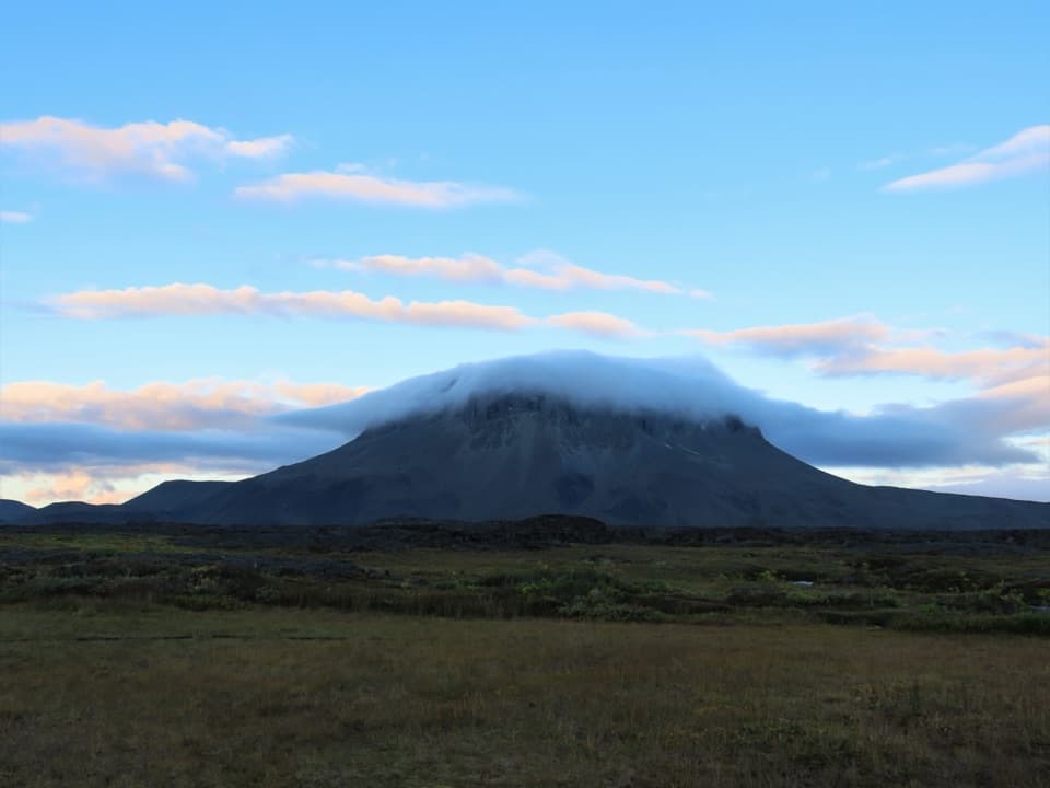 ChallengingHerðubreiðarlindir–Bræðrafell (Ö1)18.3 km · 8 hr · At the trailheadA marked highland crossing from Herðubreiðarlindir to Bræðrafell hut.
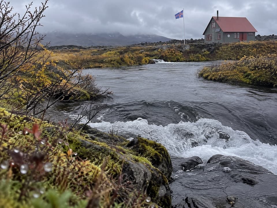 ChallengingJunction of Jökulsá and Kreppa (Hb4)3.4 km · 1 hr · 0.2 km awayA short loop across lava to the Jökulsá–Kreppa meeting point.
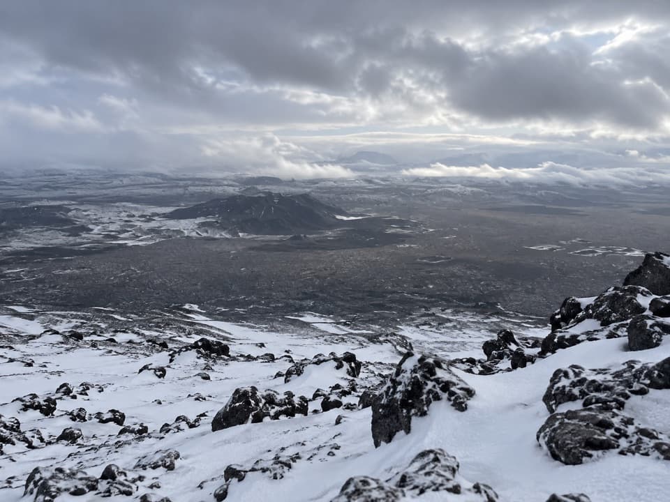 ChallengingHerðubreið Summit Trail (Hb5)5.9 km · 6 hr · 8.2 km awayA steep 1,000-meter climb to a broad summit panorama.
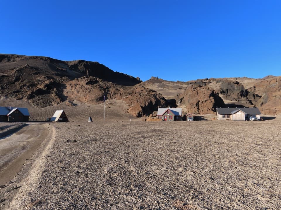 ChallengingBræðrafell – Drekagil Trail20.4 km · 8 hr · 14.7 km awayA full-day highland crossing to Drekagil’s lava-walled gorge.
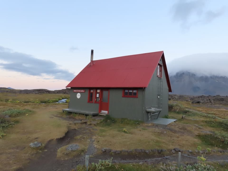 Campground · At the trailheadÞorsteinsskáli Hut and CampgroundA remote overnight base in a spring-fed highland oasis.Sight · At the trailheadHerðubreiðarlindir SpringsA spring-fed green patch below Herðubreið’s flat crown.
 Lodging · 14.7 km awayBræðrafell HutBook ahead for a 16-bunk break in remote lava country.
Parkwolf’s Vatnajökull ranking

The audio tour guide for the drive, plus offline maps, trails, and wildlife heatmaps for when the signal drops.




