Overview
About Hólmatungur
Why stop
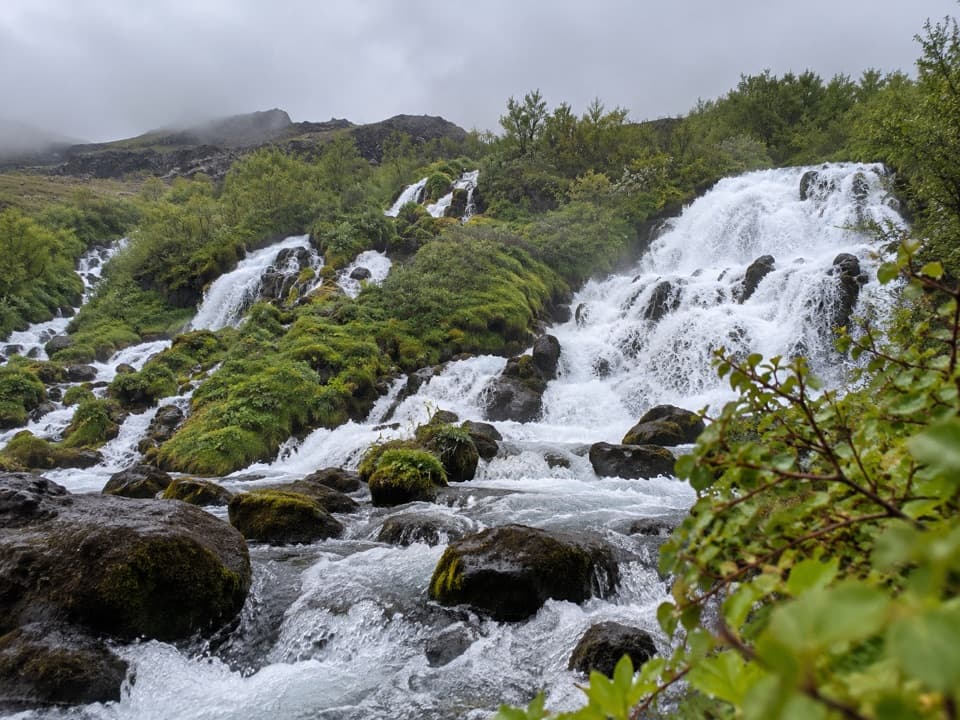
- The H1 loop passes islets, angelica-lined banks and Hólmárfossar.
Heads up
- Katlar is a short but challenging walk beside an eroding glacial river.
Map
Where it is

The highest, rockiest slopes around here are a summer buffet for grizzly bears.
Vatnajökull Tour Guide
Your drive to Hólmatungur, narrated.
Parkwolf is a GPS audio tour guide for Vatnajökull National Park. As you drive, it chimes in with what’s ahead: hidden gems, upcoming stops, history, geology, and wildlife, right through your car’s speakers.
Recorded for this place
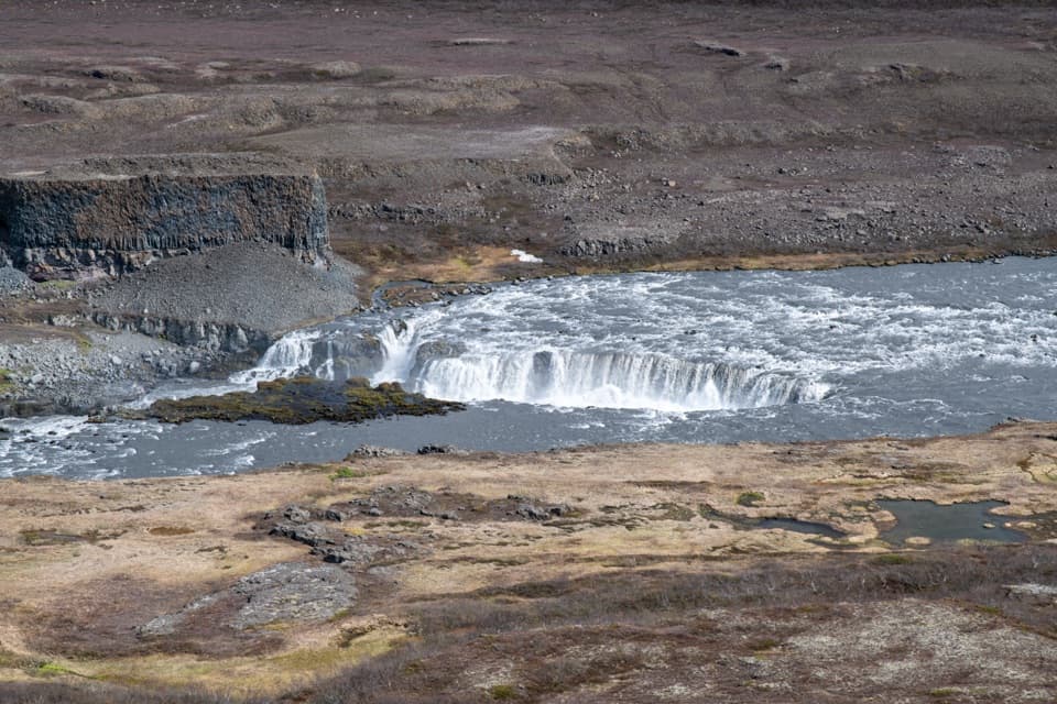
Hólmatungur: Springs and Cascades“Hólmatungur is ahead, where clear spring-fed streams meet the muddy glacial river. Stop here for the greener side of the canyon: small islets, angelica along the banks, and the Hólmárfossar cascades.”
Plays as you drive up to Hólmatungur in the Parkwolf Vatnajökull Tour Guide.
More stories near here in the app
- Air for Roots in a Bog
- The Snipe's Drumming Tail
- The Waterfall the River Left Behind
- A Rainbow Without Rain
- 298 audio storiesacross Vatnajökull’s roads, triggered by GPS as you drive
- Wildlife heatmapsfor Grey Seal, Harbor Seal, Caribou, and 13 more
- Works offlinemaps, 92 trails, 75 places, and audio download before you lose signal
- CarPlay readysimple controls built for the drive
“Fantastic app with many points of information… It’s great to just turn on while you’re driving and it gives you an audio tour of the national Park. We love it!!!!”


Guide
More about Hólmatungur
Where spring water meets a glacial riverHólmatungur is a spring-fed riverside area in the Jökulsárgljúfur canyon, where clear streams…
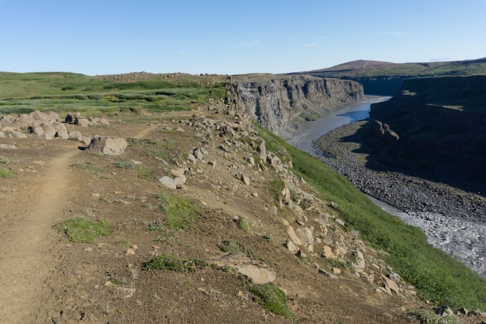
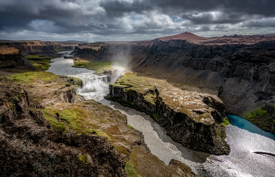
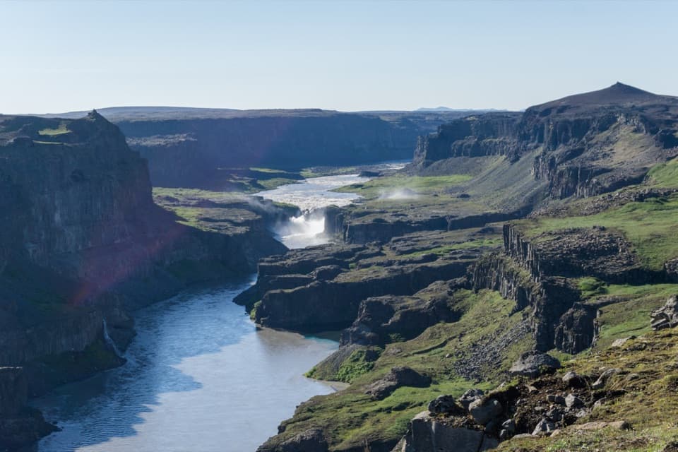
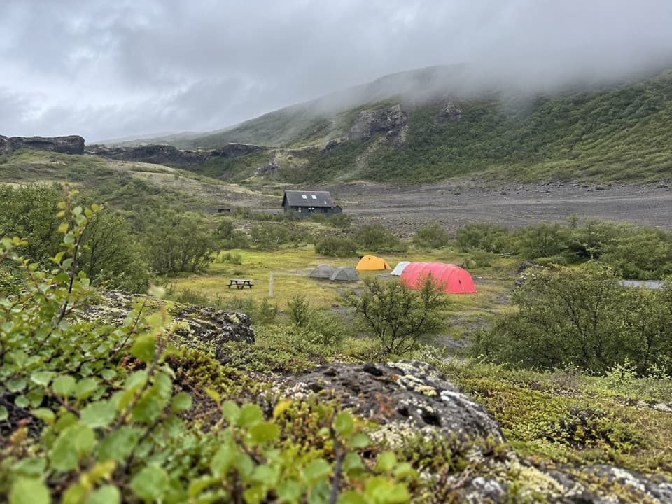
Hólmatungur is a spring-fed riverside area in the Jökulsárgljúfur canyon, where clear streams and pools meet the muddy Jökulsá á Fjöllum. Ytra-Þórunnarfjall car park provides excellent views and has a WC. Allow 1.5–2 hours for the easy 4.5 km Hólmatungur circle if you want to see more than the overlook. The area is reached via Road 862, and overnight stays are not allowed.
Follow Hólmá to HólmárfossarTake the western route north beside Hólmá, passing small islets and angelica-lined banks to the…
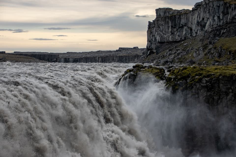
Take the western route north beside Hólmá, passing small islets and angelica-lined banks to the Hólmárfossar cascades. Return on the eastern trail, south beside Jökulsá, then east to the car park. For a closer look at Hólmárfossar, follow H1; the car park overlook also looks toward Réttarfoss.
Katlar is a tougher detourThe 2 km return walk to Katlar takes about 30–60 minutes and is challenging.
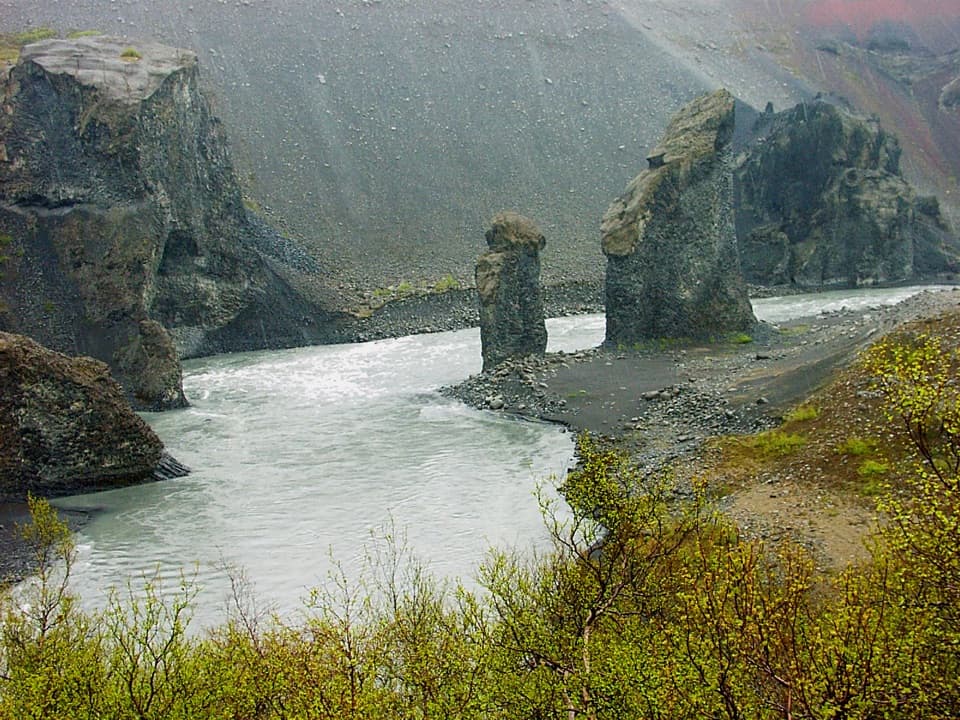
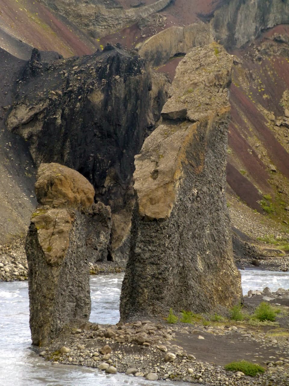
The 2 km return walk to Katlar takes about 30–60 minutes and is challenging. There, Jökulsá squeezes through a narrow channel and forms enormous whirlpools, a sharp contrast with the clear spring streams nearby. Stay on the marked path: the glacial river is eroding beneath the area.
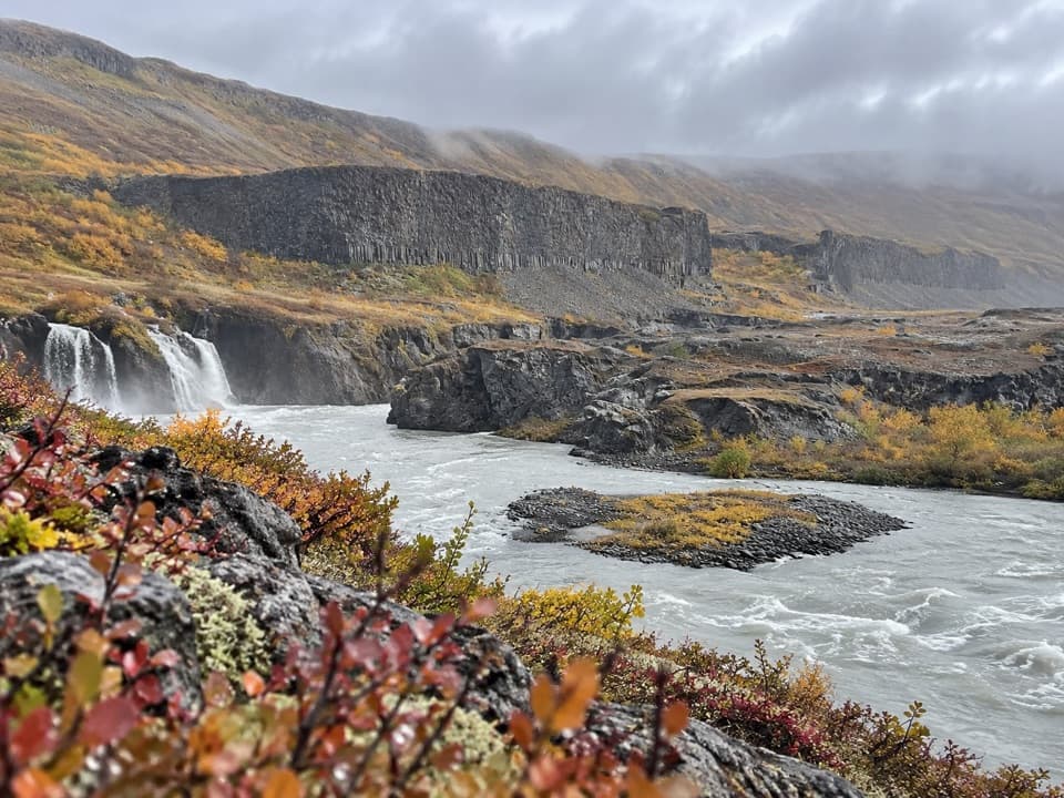
A waterfall left behind by the riverRéttarfoss is the northernmost and lowest waterfall on Jökulsá á Fjöllum.
Réttarfoss is the northernmost and lowest waterfall on Jökulsá á Fjöllum. Nearby Vígabjargsfoss used to have a stronger flow, but the river shifted west in the first half of the 20th century; water now passes through Vígabjörg only occasionally during overflow.
Wildlife
Wildlife in Vatnajökull
 23 sightingsGrey SealMost seen around 5 AMSighting map
 260 sightingsHarbor SealMost seen around 11 AMSighting map
 184 sightingsCaribouMost seen around 7 PMSighting map
 62 sightingsArctic FoxMost seen around 8 PMSighting map
 169 sightingsWhooper SwanMost seen around 5 PMSighting map
 68 sightingsAtlantic PuffinMost seen around 7 PMSighting map
Sighting maps show where each species has been reported across Vatnajökull. Wildlife moves, so no sighting is guaranteed.