Dettifoss and Selfoss – East Bank in Vatnajökull National Park

Vatnajökull National Park

Dettifoss and Selfoss – East Bank

Two falls, one rugged walk along the east bank

Photo: Photo by Oleksandra Zelena on Pexels

Length
3.5km
Time
1.5hr
Elev. change
44m
Difficulty
Moderate
  • High point 330 m
  • #13 of 92 in Vatnajökull

Hear the audio tour

Dettifoss and Selfoss: East Bank

Overview

About Dettifoss and Selfoss – East Bank

Why go

  • One compact route reaches the close east-bank view of Dettifoss and the broad cascades of Selfoss.
  • The east-side perspective shows Selfoss as a full, curved row of falls.

Heads up

  • Steep, uneven rock makes the walk harder than its distance suggests.
  • The road 864 approach is gravel and seasonally variable.

Map & elevation

The route

Loading the Vatnajökull map
Full map
Elevation286–330 m
TrailheadDettifoss East parking area65.81902, -16.37932
Keep this map with you offline in the Parkwolf app

Plan your hike

Before you go

Parking

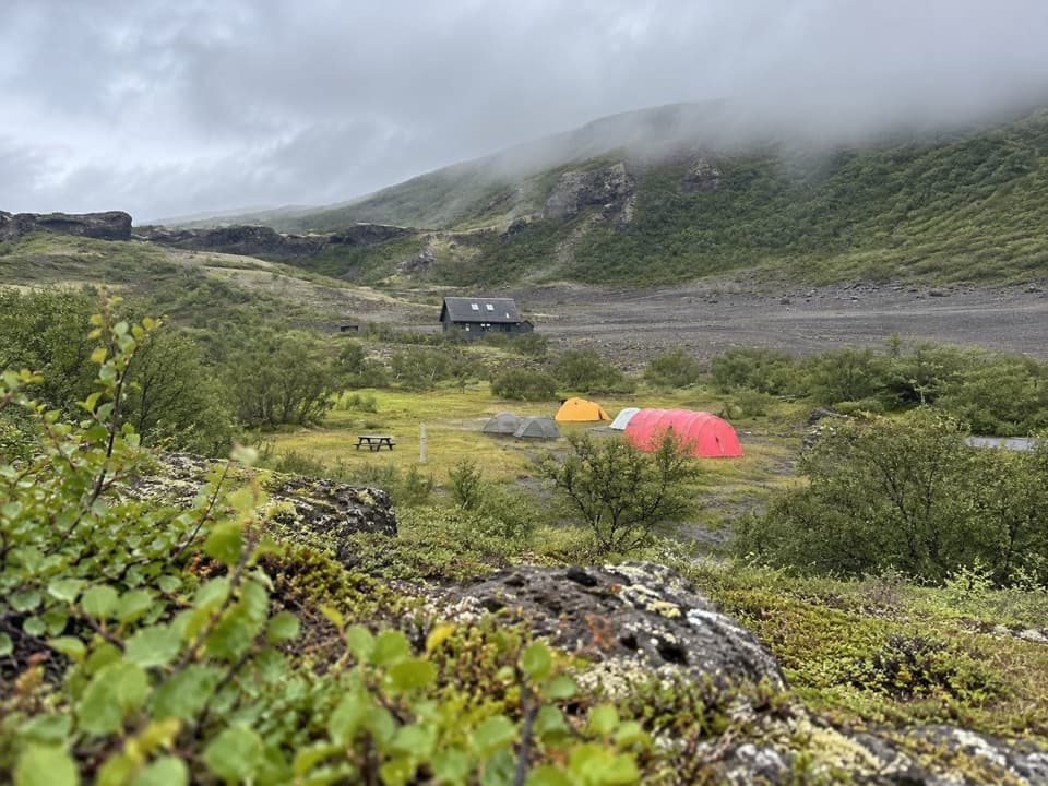
Use Dettifoss East parking off road 864; the marked trail starts by the lot. The approach is gravel and can be seasonally inaccessible, so check official road status and vehicle advice before driving. The area information notes toilets at the lot during summer service visits.

Safety

The descent to Dettifoss is steep and rocky; the Selfoss continuation has rough stones and boulders. The river drops into a deep canyon. Keep to the marked route and use care near the water and brink.

A park ranger sits on a dash-mounted phone, talking, as Parkwolf’s Tour Guide plays “Army Cutworm Moths: A Grizzly Bear Buffet” on Grand Loop Road below Dunraven Pass in Yellowstone
Parkwolf Tour GuideThe highest, rockiest slopes around here are a summer buffet for grizzly bears.

Vatnajökull Tour Guide

Your drive to Dettifoss and Selfoss – East Bank, narrated.

Parkwolf is a GPS audio tour guide for Vatnajökull National Park. As you drive, it chimes in with what’s ahead: hidden gems, upcoming stops, history, geology, and wildlife, right through your car’s speakers.

Recorded for this trailhead

Dettifoss and Selfoss: East Bank
0:00 / 0:27
“Up ahead is the east-bank starting point for Dettifoss and Selfoss, with a steep, rocky descent to Dettifoss's viewing platform.”

Plays as you drive up to this trailhead in the Parkwolf Vatnajökull Tour Guide.

More stories near here in the app

  • Snow as a Winter Blanket
  • Dettifoss and Selfoss: West Bank
  • Hafragilsfoss: East Canyon View
  • Two Fibres in One Fleece
  • 298 audio storiesacross Vatnajökull’s roads, triggered by GPS as you drive
  • Wildlife heatmapsfor Grey Seal, Harbor Seal, Caribou, and 13 more
  • Works offlinemaps, 92 trails, 75 places, and audio download before you lose signal
  • CarPlay readysimple controls built for the drive
★★★★★
“Fantastic app with many points of information… It’s great to just turn on while you’re driving and it gives you an audio tour of the national Park. We love it!!!!”
JMJamesApp Store review
Download Parkwolf on the App StoreGet Parkwolf on Google Play

4.7 from 8,600+ ratings

Trail guide

Hiking Dettifoss and Selfoss – East Bank

A short, rugged east-bank returnThis 2.2-mile (3.

This 2.2-mile (3.5 km) out-and-back starts at Dettifoss East parking, descends to Dettifoss, then continues south along the east bank to Selfoss before returning over the same path. Allow about 1 to 1½ hours with both waterfall stops; the area information estimates about an hour for the walk itself. It is a compact way to see two very different falls, but the terrain makes it more demanding than the distance suggests. The walk down to Dettifoss is steep and rocky, and the longer continuation has rough stones and boulders. If you want the easier choice, visit Dettifoss’s marked viewing platform and turn back there.

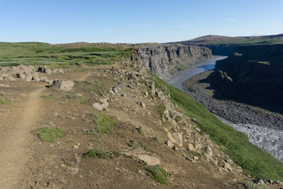
Down to DettifossThe marked path drops from the parking area toward a viewing platform.

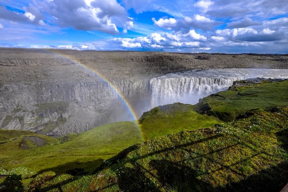
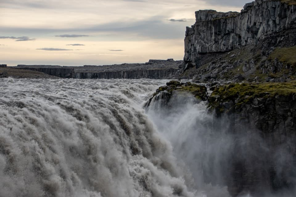
The marked path drops from the parking area toward a viewing platform. Dettifoss is about 45 m high and 100 m wide, a wall of glacial river water that is often considered Europe’s most powerful waterfall. The east-bank angle feels close to the torrent; take the view from the path and platform, and heed the warning to use care near the water. This is not a place to leave the marked route for a better look.

Keep going to SelfossFrom Dettifoss the path continues south beside the canyon.

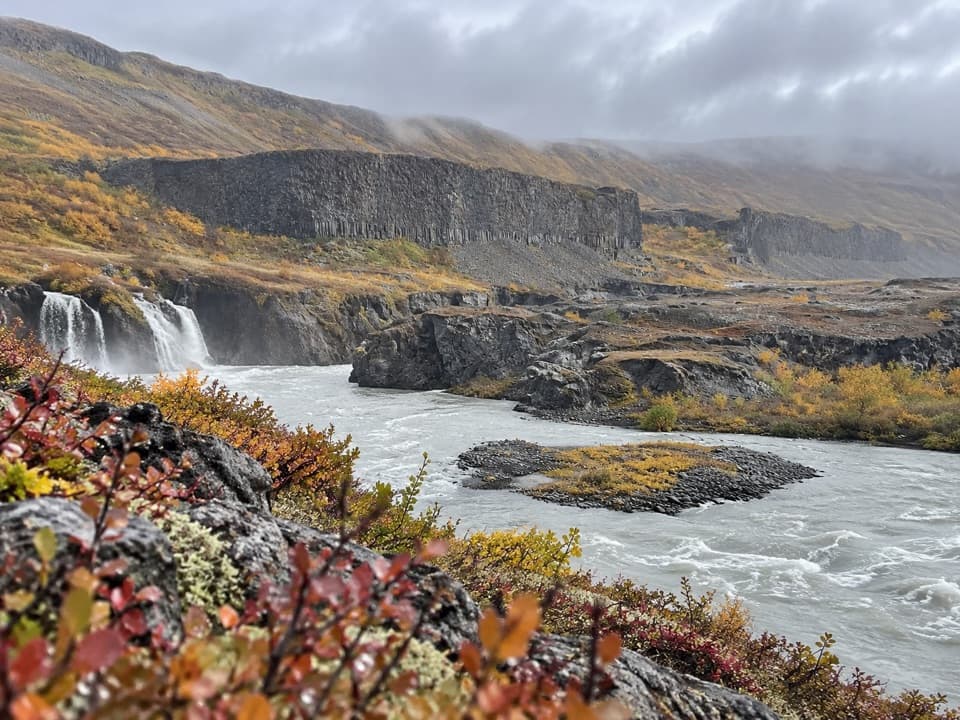
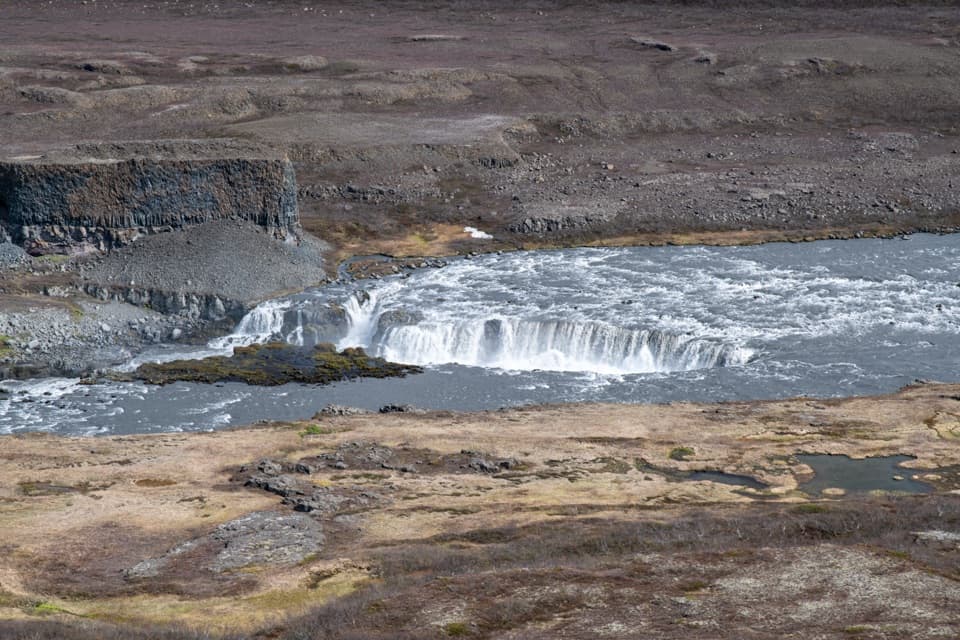
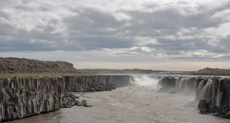
From Dettifoss the path continues south beside the canyon. Expect a rougher, uneven walk over rock, with some boulder stepping near Selfoss. Selfoss is lower, around 10 m high, but much wider: a curved ledge sends water down in many separate curtains. From this bank you can take in the full shape of the falls rather than only one section. For a photo, include the dark basalt ledge and a little of the rocky foreground; the long line of cascades is what makes Selfoss distinct. Turn around at the signed viewing area and follow the same route back.

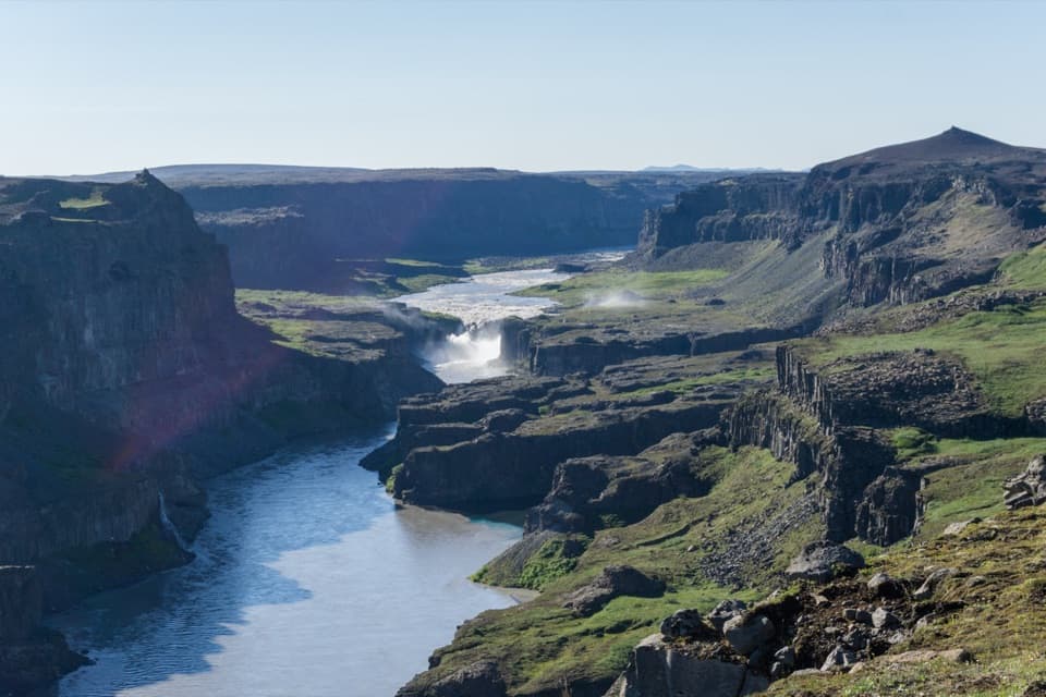
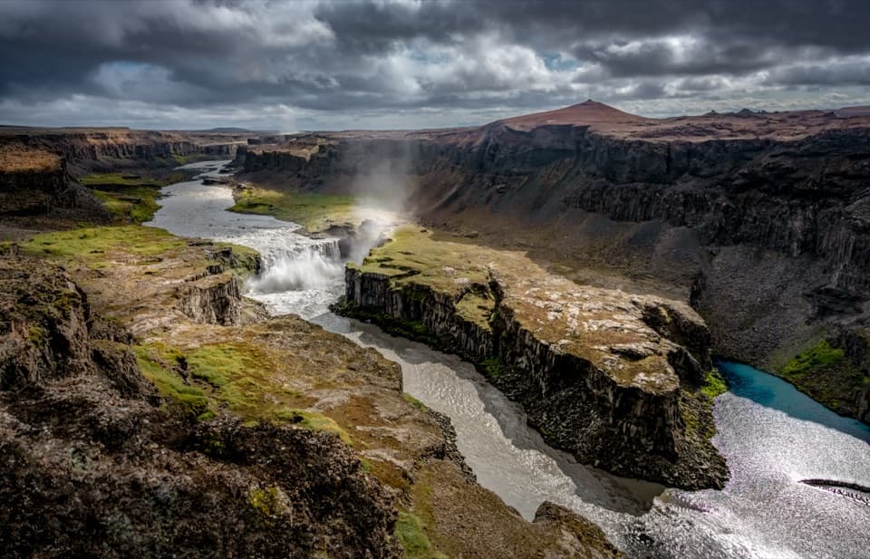
The canyon around the fallsJökulsárgljúfur runs for roughly 25 km, is about half a kilometer wide, and exceeds 100 m deep…

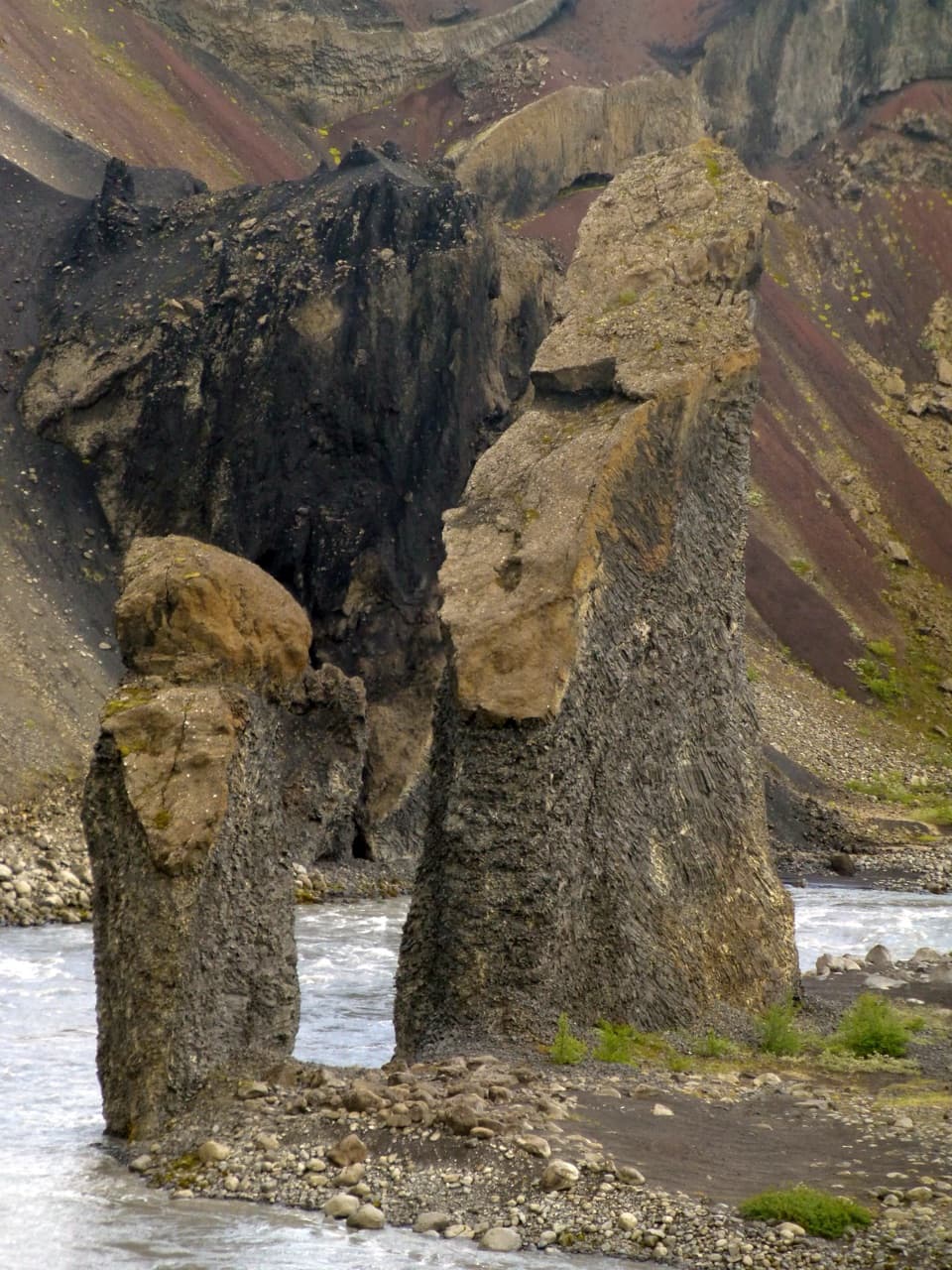
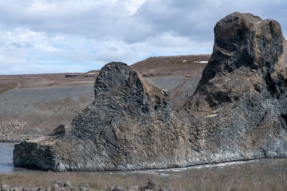
Jökulsárgljúfur runs for roughly 25 km, is about half a kilometer wide, and exceeds 100 m deep in many places. The route crosses exposed lava, coarse gravel and old river ground, with little shade. Snow buntings and wheatears are common in this rocky habitat; ravens are also seen, with falcons and merlins less often. Look for the river’s changing shape as you walk: the two waterfalls are part of a longer sequence of drops and cascades, not isolated features.

A protected landscape with a storyThe waterfalls and their surroundings were protected as a natural monument in 1996.

The waterfalls and their surroundings were protected as a natural monument in 1996. Dettifoss also drew an argument about what the river should be for: Einar Benediktsson wanted to harness its power, while Þorsteinn Erlingsson answered with the poem “Við fossinn” (“By the Waterfall”). The area’s history says Selfoss was once called Williardsfoss in honor of Williard Fiske, remembered as a friend to Iceland.

Start at the east-side lotUse the signed Dettifoss East parking area off road 864; the marked trail begins by the lot.

Use the signed Dettifoss East parking area off road 864; the marked trail begins by the lot. The approach is gravel and access can vary by season, so check official road status and vehicle guidance before setting out. The area information notes toilets at the parking area during summer service visits. The east route is on the opposite side of the river from the separate west-bank trails, so do not use west-side access directions for this walk.

Wildlife

Wildlife in Vatnajökull

All Vatnajökull wildlife maps

Sighting maps show where each species has been reported across Vatnajökull. Wildlife moves, so no sighting is guaranteed.

Keep exploring

Near Dettifoss and Selfoss – East Bank

See it all on the map

Trails that start nearby

Places near the trailhead

Parkwolf’s Vatnajökull ranking

Top-rated trails in Vatnajökull

All 92 trails
  1. 1Svartifoss–Sjónarsker–Sel Loop (S2)Moderate · 5.8 km
  2. 2Dettifoss and Selfoss – West BankEasy · 2.5 km
  3. 3Svartifoss TrailModerate · 3 km
  4. 4Skaftafellsjökull Glacier TrailEasy · 4.1 km
  5. 5Múlagljúfur Canyon TrailModerate · 3.9 km
  6. 6Kristínartindar S4 Summit CircuitChallenging · 17.9 km

Take Parkwolf to Vatnajökull.

The audio tour guide for the drive, plus offline maps, trails, and wildlife heatmaps for when the signal drops.

4.7 from 8,600+ ratings

Download Parkwolf on the App StoreGet Parkwolf on Google Play