Hafragilsfoss Viewpoint in Vatnajökull National Park

Sight · Vatnajökull National Park

Hafragilsfoss Viewpoint

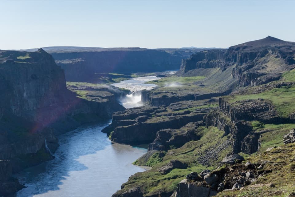
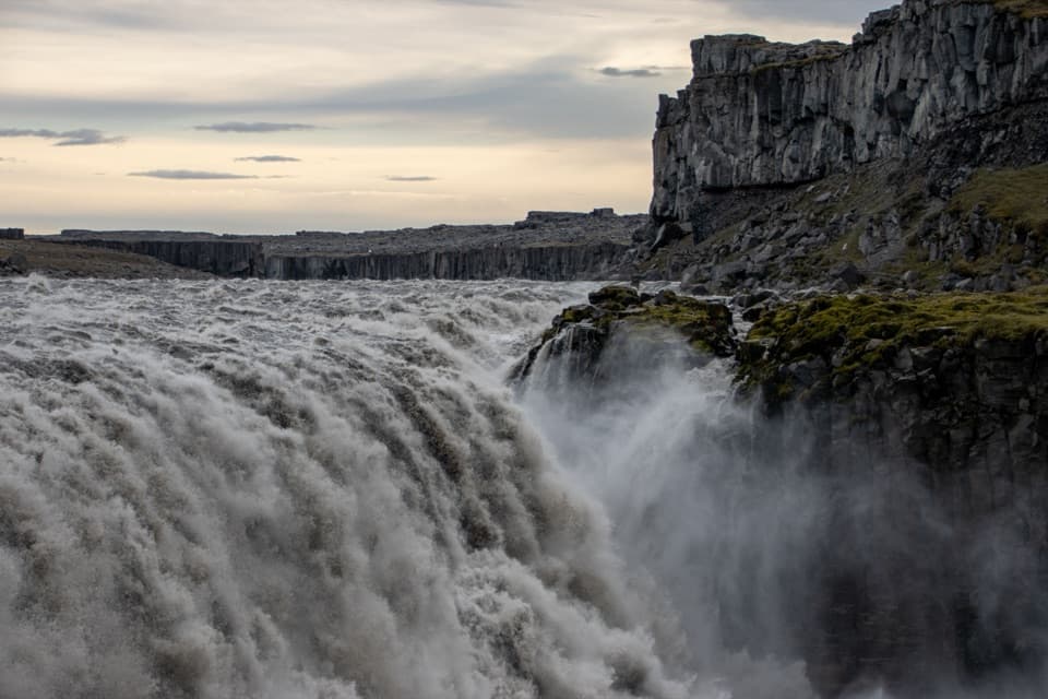
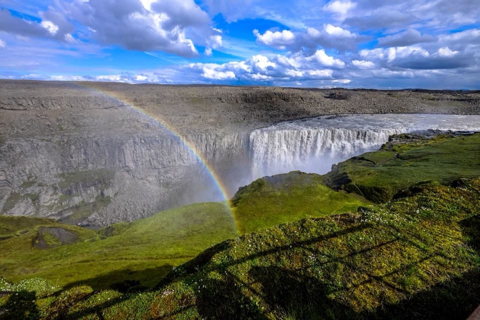
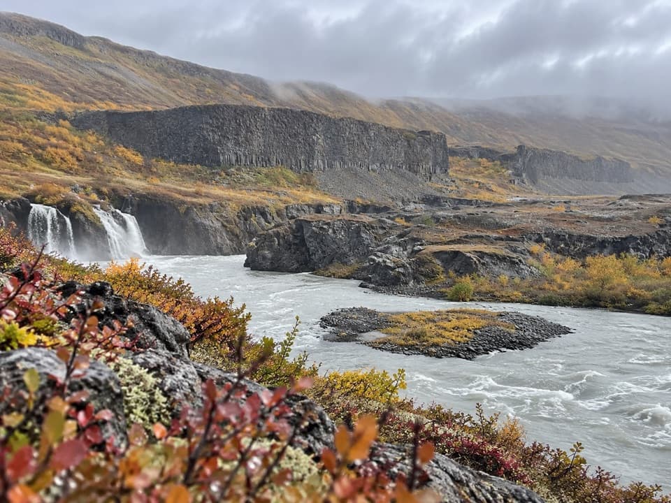
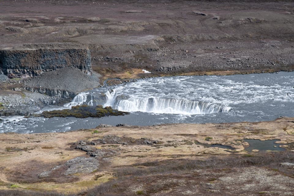
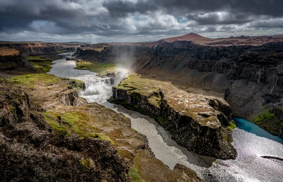
A 27 m waterfall plunges into a canyon carved by floods.

Photo: Bernd Thaller from Graz, Austria, CC BY 2.0, via Wikimedia Commons

Type
Sight
Nearest trail
0.2 km
Audio stories
7 nearby
  • Scenic viewpoint
  • Parking
  • #16 of 47 sights

Hear the audio tour

Hafragilsfoss: East Canyon View
Download Parkwolf on the App StoreGet Parkwolf on Google Play

4.7 from 8,600+ ratings

Overview

About Hafragilsfoss Viewpoint

Why stop

  • The falls and long canyon share one dramatic view.

Heads up

  • The waterfall is viewed from above and at some distance.

Map

Where it is

Loading the Vatnajökull map
Full map
SightHafragilsfoss Viewpoint65.83677, -16.40391
Keep this map with you offline in the Parkwolf app

Plan your stop

Before you go

Getting there

The drive up the eastern side uses gravel Road 864, followed by a short side track to parking and a short path to the promontory. Road 864 is slow and closes when autumn snow arrives. Spring reopening depends on conditions and the ground drying out, so check road conditions before setting off and allow time for the unpaved approach.

A park ranger sits on a dash-mounted phone, talking, as Parkwolf’s Tour Guide plays “Army Cutworm Moths: A Grizzly Bear Buffet” on Grand Loop Road below Dunraven Pass in Yellowstone
Parkwolf Tour GuideThe highest, rockiest slopes around here are a summer buffet for grizzly bears.

Vatnajökull Tour Guide

Your drive to Hafragilsfoss Viewpoint, narrated.

Parkwolf is a GPS audio tour guide for Vatnajökull National Park. As you drive, it chimes in with what’s ahead: hidden gems, upcoming stops, history, geology, and wildlife, right through your car’s speakers.

Recorded for this place

Hafragilsfoss: East Canyon View
0:00 / 0:30
“You're nearing the east-bank viewpoint for Hafragilsfoss, a short stop for the canyon as much as the waterfall. Allow about ten minutes for the walk to Sjónnípa and back, with a little uphill on the return.”

Plays as you drive up to Hafragilsfoss Viewpoint in the Parkwolf Vatnajökull Tour Guide.

More stories near here in the app

  • Dettifoss and Selfoss: East Bank
  • Dettifoss and Selfoss: West Bank
  • A Canyon Cut in Sudden Steps
  • The Waterfall the River Left Behind
  • 298 audio storiesacross Vatnajökull’s roads, triggered by GPS as you drive
  • Wildlife heatmapsfor Grey Seal, Harbor Seal, Caribou, and 13 more
  • Works offlinemaps, 92 trails, 75 places, and audio download before you lose signal
  • CarPlay readysimple controls built for the drive
★★★★★
“Fantastic app with many points of information… It’s great to just turn on while you’re driving and it gives you an audio tour of the national Park. We love it!!!!”
JMJamesApp Store review
Download Parkwolf on the App StoreGet Parkwolf on Google Play

4.7 from 8,600+ ratings

Guide

More about Hafragilsfoss Viewpoint

A view down the gorgeHafragilsfoss Viewpoint is a lookout above the 27 m Hafragilsfoss waterfall on the Jökulsá á…

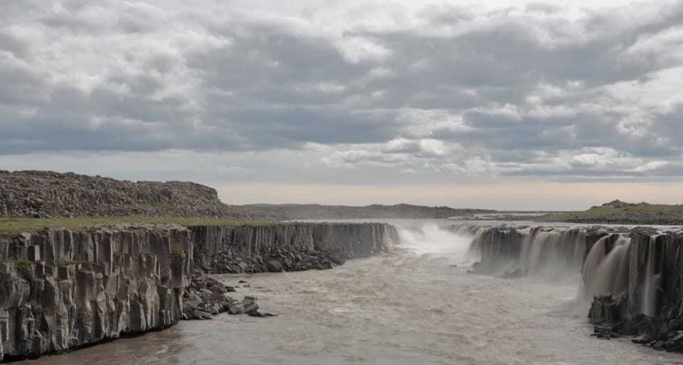
Hafragilsfoss Viewpoint is a lookout above the 27 m Hafragilsfoss waterfall on the Jökulsá á Fjöllum, in Jökulsárgljúfur below Dettifoss. From the eastern rim, you look down at the falls and along the basalt gorge. Come for the canyon as well as the waterfall; you see the drop from above and some distance away.

Take in the whole riverSeveral nearby vantage points give different looks into the gorge.

Several nearby vantage points give different looks into the gorge. Walk out to the promontory and include the river below and beyond the falls; that wider frame shows the scale of the canyon better than a close crop of the water. The path is brief, but sturdy shoes are useful on the uneven lookout ground.

Floods, lava and the fallsJökulsárgljúfur was shaped by outburst floods and glacial river action over recent millennia.

Jökulsárgljúfur was shaped by outburst floods and glacial river action over recent millennia. The waterfalls keep changing as the river erodes its ledges. Near Hafragilsfoss on the eastern bank, Randarhólar, a volcanic fissure, exposes its feeder dike in the cliff. Plans to harness the canyon's water were abandoned because porous lava could not hold a reservoir.

Wildlife

Wildlife in Vatnajökull

All Vatnajökull wildlife maps

Sighting maps show where each species has been reported across Vatnajökull. Wildlife moves, so no sighting is guaranteed.

Parkwolf’s Vatnajökull ranking

Top sights in Vatnajökull

All 75 places
  1. 1Jökulsárlón Glacier LagoonSight
  2. 2DettifossSight
  3. 3Fellsfjara (Diamond Beach)Beach
  4. 4SvartifossSight
  5. 5Ásbyrgi Canyon and BotnstjörnSight
  6. 6Fjallsárlón Glacier LagoonSight

Take Parkwolf to Vatnajökull.

The audio tour guide for the drive, plus offline maps, trails, and wildlife heatmaps for when the signal drops.

4.7 from 8,600+ ratings

Download Parkwolf on the App StoreGet Parkwolf on Google Play