Overview
About Kverkjökull Glacier Viewpoint
Why stop
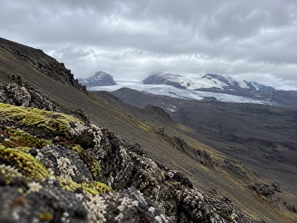
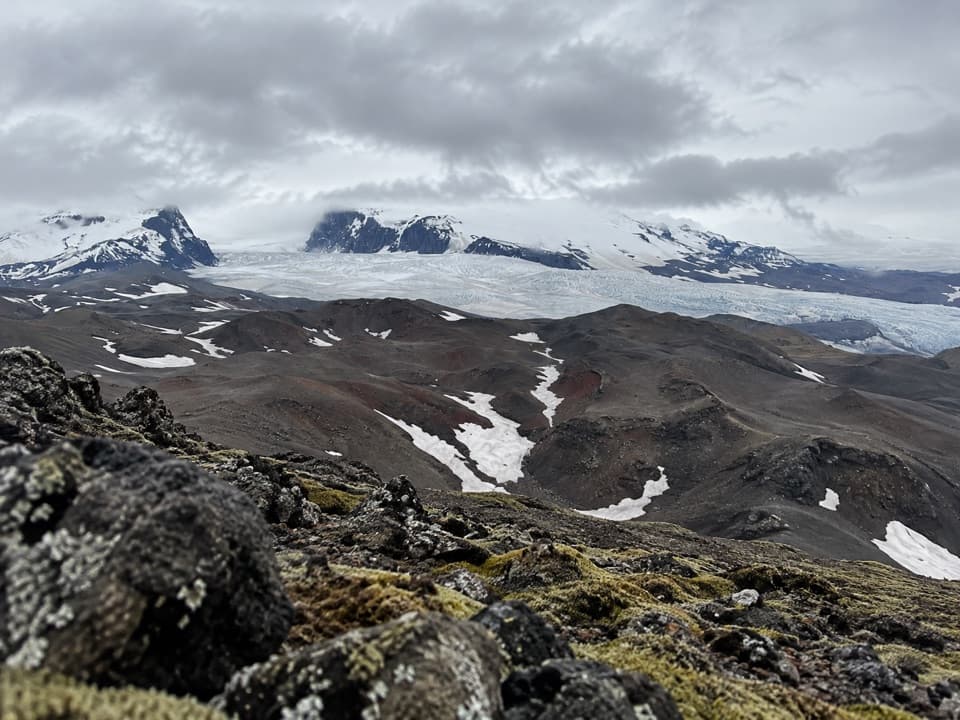
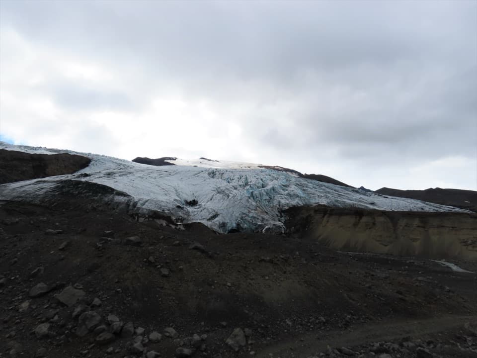
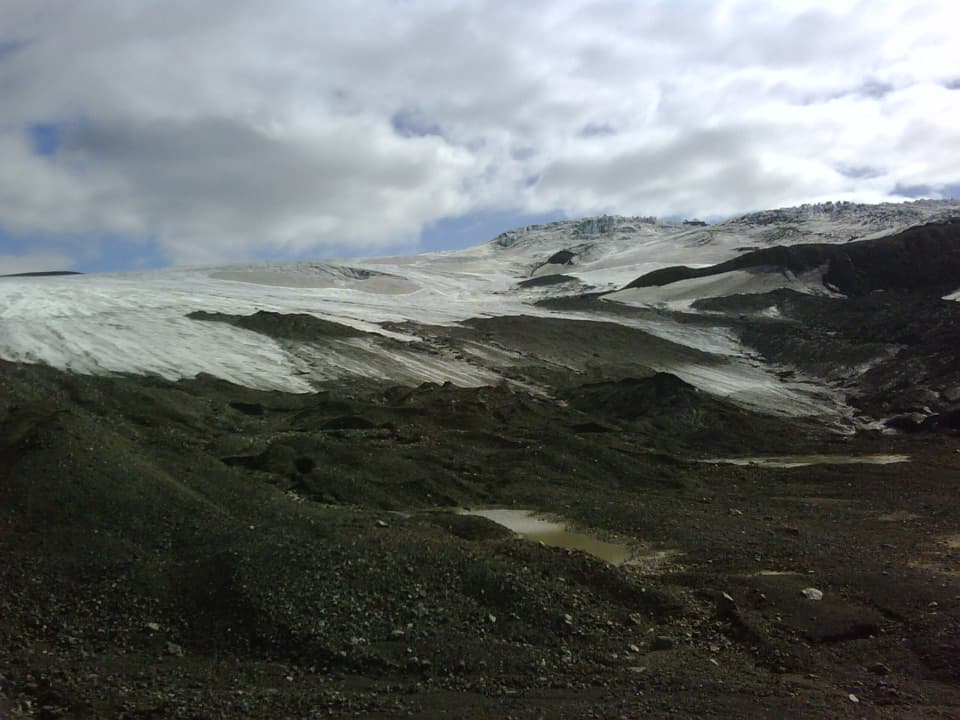
- A close land-side view of a glacier tongue and volcanic moraines
- The approach crosses striking lava and glacial terrain
Heads up
- A remote, challenging highland hike rather than a roadside stop
- The changing glacier edge can shed ice in summer
Map
Where it is

The highest, rockiest slopes around here are a summer buffet for grizzly bears.
Vatnajökull Tour Guide
Your drive to Kverkjökull Glacier Viewpoint, narrated.
Parkwolf is a GPS audio tour guide for Vatnajökull National Park. As you drive, it chimes in with what’s ahead: hidden gems, upcoming stops, history, geology, and wildlife, right through your car’s speakers.
Recorded for this place
Kverkjökull: The Glacier Visitor Trail“You're approaching the glacier-side parking area for Kverkjökull, where ice flows through a gap between Kverkfjöll's volcanic peaks.”
Plays as you drive up to Kverkjökull Glacier Viewpoint in the Parkwolf Vatnajökull Tour Guide.
More stories near here in the app
- Mapping the Ground Beneath the Ice
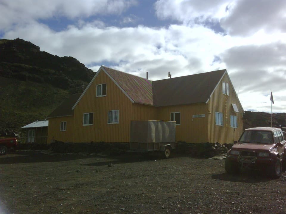
- Sigurðarskáli: A Base for Kverkfjöll
- When Lava Shatters in Water
- Following a Fish by Whisker
- 298 audio storiesacross Vatnajökull’s roads, triggered by GPS as you drive
- Wildlife heatmapsfor Grey Seal, Harbor Seal, Caribou, and 13 more
- Works offlinemaps, 92 trails, 75 places, and audio download before you lose signal
- CarPlay readysimple controls built for the drive
“Fantastic app with many points of information… It’s great to just turn on while you’re driving and it gives you an audio tour of the national Park. We love it!!!!”


Guide
More about Kverkjökull Glacier Viewpoint
A demanding highland walkKverkjökull Glacier Viewpoint is a land-side destination on a marked highland approach from…
Kverkjökull Glacier Viewpoint is a land-side destination on a marked highland approach from Sigurðarskáli, with a close look at the outlet glacier where it spills onto a dark moraine plain. This is a real hike, not a roadside pullout: allow 2–3 hours each way for a challenging walk. The drive uses rough highland roads, including F902, so check current road and river-crossing conditions before setting out.
The approach and the viewThe marked route crosses lava formations, moraines and vegetation before reaching parking…
The marked route crosses lava formations, moraines and vegetation before reaching parking beside the glacier. Kverkjökull flows northwest through the Kverk pass from Vatnajökull’s northern ice cap onto a highland plateau. From the land-side path, include the dark moraine in the foreground to show the scale of the ice. A restroom is mapped near the parking area, but its type and current service aren’t verified, so don’t rely on it without checking.
A glacier edge that changesThe terminus shifts continually, and blocks of ice can fall during summer.
The terminus shifts continually, and blocks of ice can fall during summer. Keep to the marked land approach, stay well back from the ice, and follow current ranger guidance. The ice cave and glacier surface aren’t self-guided extensions of this viewpoint.
The volcanic settingKverkfjöll is a mountain group formed around a large central volcano at the northern edge of…
Kverkfjöll is a mountain group formed around a large central volcano at the northern edge of the ice cap. The Kverk pass divides its eastern and western halves, and Kverkjökull flows through that gap toward the plateau below. The range has two ice-filled calderas around 1,800 m high; Skarphéðinstindur, its highest peak, reaches 1,936 m.
Wildlife
Wildlife in Vatnajökull
 23 sightingsGrey SealMost seen around 5 AMSighting map
 260 sightingsHarbor SealMost seen around 11 AMSighting map
 184 sightingsCaribouMost seen around 7 PMSighting map
 62 sightingsArctic FoxMost seen around 8 PMSighting map
 169 sightingsWhooper SwanMost seen around 5 PMSighting map
 68 sightingsAtlantic PuffinMost seen around 7 PMSighting map
Sighting maps show where each species has been reported across Vatnajökull. Wildlife moves, so no sighting is guaranteed.