Parking
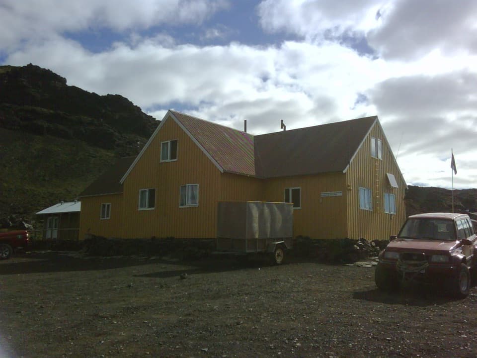
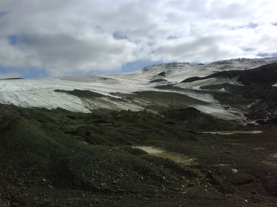
The official start is Sigurðarskáli hut on Kverkfjallaleið/F902; the route ends at the parking area beside Kverkjökull. Parking capacity and fees were not found.
Vatnajökull National Park
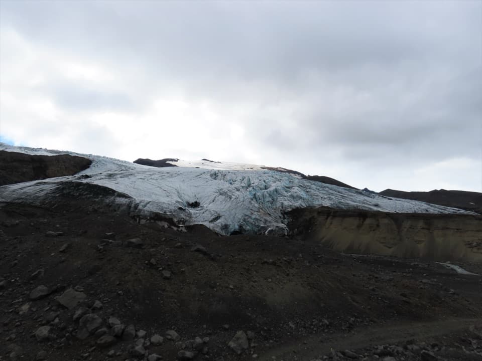
A rough highland approach to Kverkjökull’s glacier-side parking area.
Photo: Rémih, CC BY-SA 4.0, via Wikimedia Commons
Overview
Map & elevation
Plan your hike

The highest, rockiest slopes around here are a summer buffet for grizzly bears.
Vatnajökull Tour Guide
Parkwolf is a GPS audio tour guide for Vatnajökull National Park. As you drive, it chimes in with what’s ahead: hidden gems, upcoming stops, history, geology, and wildlife, right through your car’s speakers.
Recorded for this trailhead
Sigurðarskáli: A Base for Kverkfjöll“Sigurðarskáli is coming up, the mountain hut and campground that make a base for exploring Kverkfjöll. The hut has sleeping-bag accommodation, gas burners and cookware, so plan to bring food and cook for yourself.”
Plays as you drive up to this trailhead in the Parkwolf Vatnajökull Tour Guide.
More stories near here in the app
“Fantastic app with many points of information… It’s great to just turn on while you’re driving and it gives you an audio tour of the national Park. We love it!!!!”


Trail guide
Sigurðarskáli Hut–Kverkjökull is a challenging out-and-back highland walk from the hut to the glacier-side parking area. The mapped unpaved access corridor measures about 4.8 km one way, or roughly 5.9 miles round trip. The park's current route table lists 4.1 km one way, while its description gives about 3 km; because those figures conflict with the mapped approach, plan for the longer distance. Allow around five hours for the return walk; the park’s 2–3-hour estimate does not say whether it includes the return. It lists 200 m of elevation and classifies K2 as challenging.
This is a highland approach to Kverkjökull, not a summit hike or glacier expedition. The park describes lava formations, moraines and vegetation along the way, with the parking area beside the glacier as the destination. The route follows a rough, unpaved corridor through a remote landscape. It is best suited to hikers comfortable with a long walk away from services; as an out-and-back, you can turn around early, but that changes the distance.
The glacier terminus changes, blocks can fall in summer, and crevasses are a known hazard. The endpoint is a parking area beside Kverkjökull, not permission to step onto the glacier or enter an ice cave. Keep to stable ground and stay well back from the ice front.
Sigurðarskáli has a 75-person hut with cooking facilities, a campsite, flush toilets and showers. There are no shops, restaurants or gas stations in the Kverkfjöll mountains, so arrive with food and fuel arranged. The sources checked do not state parking capacity or fees.
Wildlife
 23 sightingsGrey SealMost seen around 5 AMSighting map
 260 sightingsHarbor SealMost seen around 11 AMSighting map
 184 sightingsCaribouMost seen around 7 PMSighting map
 62 sightingsArctic FoxMost seen around 8 PMSighting map
 169 sightingsWhooper SwanMost seen around 5 PMSighting map
 68 sightingsAtlantic PuffinMost seen around 7 PMSighting map
Sighting maps show where each species has been reported across Vatnajökull. Wildlife moves, so no sighting is guaranteed.
Keep exploring
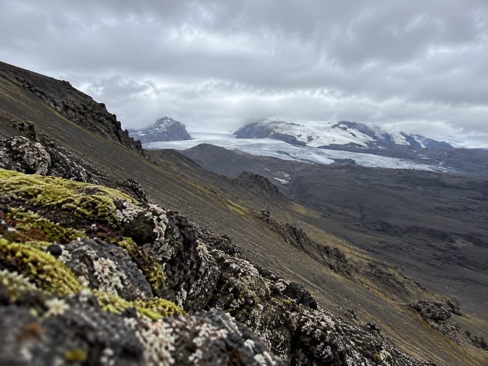 ChallengingSigurðarskáli Hut – Virkisfell Trail2.1 km · 1.5 hr · At the trailheadA short, steep climb for glacier, highland, and lava views.
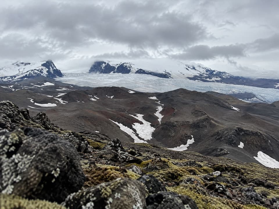 ChallengingSigurðarskáli–Biskupsfell Loop (K4)9 km · 4.5 hr · At the trailheadA challenging loop to Biskupsfell with views across Kverkfjöll’s ice.
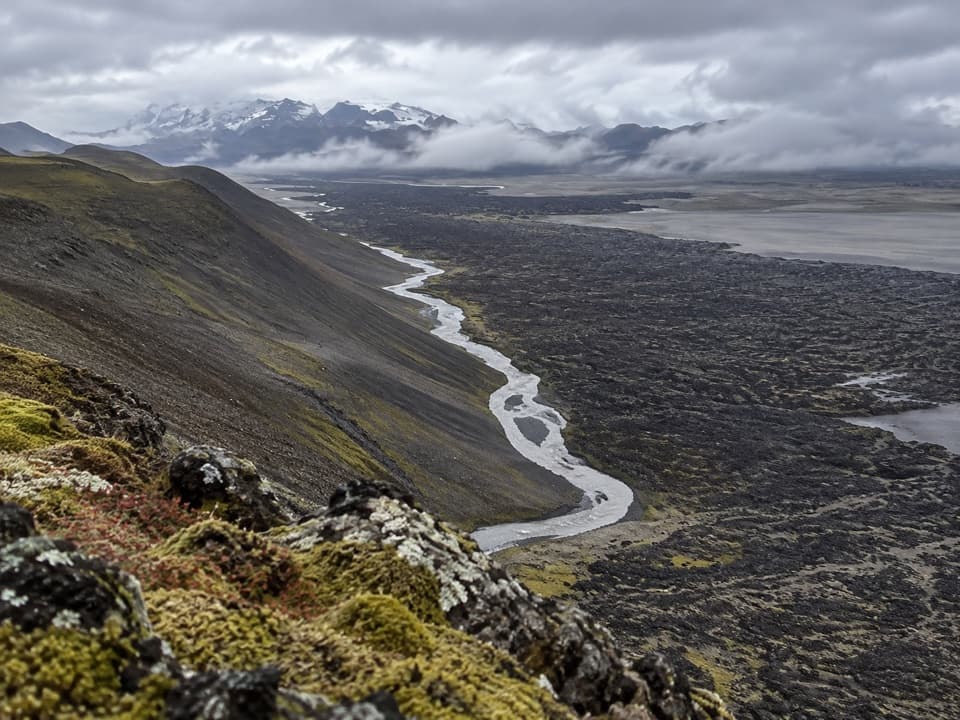 ModerateKreppuþröng3 km · 2 hr · 20.8 km awayA short loop to where the Kreppa squeezes through a gorge.
Parkwolf’s Vatnajökull ranking

The audio tour guide for the drive, plus offline maps, trails, and wildlife heatmaps for when the signal drops.